Upgrade to Pro
— share decks privately, control downloads, hide ads and more …
Speaker Deck
Features
Speaker Deck
PRO
Sign in
Sign up for free
Search
Search
QGIS in Fieldwork
Search
Texas Natural Resources Information System
November 12, 2014
Technology
110
0
Share
Embed
Copy iframe code
Copy JS code
Copy link
Start on current slide
QGIS in Fieldwork
Presented by
Tatiana Perry
Texas Natural Resources Information System
November 12, 2014
More Decks by Texas Natural Resources Information System
See All by Texas Natural Resources Information System
The 3rd Quarter GIS Community Meeting of 2020
texasnaturalresourcesinformationsytem
0
200
The 2nd Quarter GIS Community Meeting of 2020
texasnaturalresourcesinformationsytem
0
640
2020 1st Quarter GIS Community Meeting
texasnaturalresourcesinformationsytem
0
760
PLANET OVERVIEW for TNRIS first Quarter Meeting
texasnaturalresourcesinformationsytem
0
650
Hurricane Harvey H-E-B Disaster Response
texasnaturalresourcesinformationsytem
0
530
Improving Community Services by Helping Citizens Find Their Lost Pets
texasnaturalresourcesinformationsytem
0
360
National Address Database (NAD) and NG9-1-1
texasnaturalresourcesinformationsytem
0
280
StratMap Celebrating Successful Public and Private Partnerships
texasnaturalresourcesinformationsytem
1
370
2019 State of the State Town Hall Meeting
texasnaturalresourcesinformationsytem
1
350
Other Decks in Technology
See All in Technology
ここは地獄!つらい朝会を体験することで、チームとしてのより良い振る舞いに気づくワークショップ / The stand-up meeting from hell in the game industry
scrummasudar
0
360
QAと開発の両側から進める AI活用 -QAプロセスAI支援ツールキットと Inner Loop / Outer Loopの取り組み-
legalontechnologies
PRO
2
130
どこまでAIに任せるか 〜確率論と決定論の境界決定〜
shukob
0
540
現場との対話から始める “作る前に問い直す”業務改善
mochico50
2
330
データエンジニアリングとドメイン駆動設計
masuda220
PRO
15
2.7k
セキュリティ研修【MIXI 26新卒技術研修】
mixi_engineers
PRO
20
17k
【公開用】AI_Dev_Ex2026_AI_登壇資料
matsuritechnologies
PRO
2
680
コンポーネント名には何を含めるべきなのか? / what-should-be-included-in-component-names
airrnot1106
0
130
Jitera Company Deck
jitera
0
620
カメラ×AIで挑む「ホワイト物流」― 車両管理、自動化の壁と突破口【SORACOM Discovery 2026】
soracom
PRO
0
140
CTOキーノート:AI時代の「つなぐ」を再定義 ― 真のIoTとリアルワールドAI【SORACOM Discovery 2026】
soracom
PRO
0
260
Git 研修【MIXI 26新卒技術研修】#2
mixi_engineers
PRO
1
360
Featured
See All Featured
We Are The Robots
honzajavorek
0
290
The Web Performance Landscape in 2024 [PerfNow 2024]
tammyeverts
12
1.2k
WENDY [Excerpt]
tessaabrams
11
39k
Building Adaptive Systems
keathley
44
3.1k
Mozcon NYC 2025: Stop Losing SEO Traffic
samtorres
1
430
Unlocking the hidden potential of vector embeddings in international SEO
frankvandijk
0
880
Paper Plane
katiecoart
PRO
2
52k
The AI Revolution Will Not Be Monopolized: How open-source beats economies of scale, even for LLMs
inesmontani
PRO
3
3.7k
個人開発の失敗を避けるイケてる考え方 / tips for indie hackers
panda_program
123
22k
Designing Powerful Visuals for Engaging Learning
tmiket
1
460
End of SEO as We Know It (SMX Advanced Version)
ipullrank
3
4.3k
Embracing the Ebb and Flow
colly
88
5.1k
Transcript
QGIS in Fieldwork Tatiana Perry
Reasons for switching • ArcMap can be difficult to navigate
• Save money • Introduce new technology
Difficulties • Introducing new programs ◦ Qgis and PostGIS •
Making sure the same data can be collected • And that data can be easily manipulated later
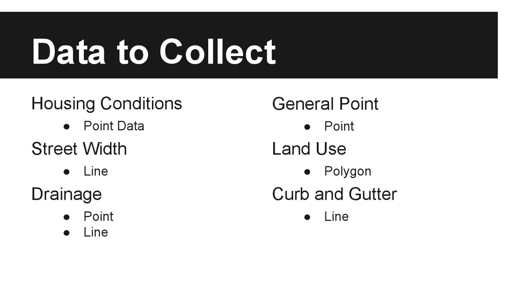
Data to Collect Housing Conditions • Point Data Street Width
• Line Drainage • Point • Line General Point • Point Land Use • Polygon Curb and Gutter • Line
KEEP IT SIMPLE!!!
Steps Make an empty database Create shapefiles to load into
PostGIS. Make classes Create custom symbology Start collecting data!
That’s It! Questions??? Install Qgis- http://www.qgis.org/en/site/ Install Postgres- http://www.postgresql.org/download/ Install
PostGIS- http://trac.osgeo.org/postgis/ Boundless to get the whole opengeo suite: http://boundlessgeo.com/ @tatianajperry tatianaj.com The Austin Open Source GIS User Group http://www.meetup.com/atx-osg/