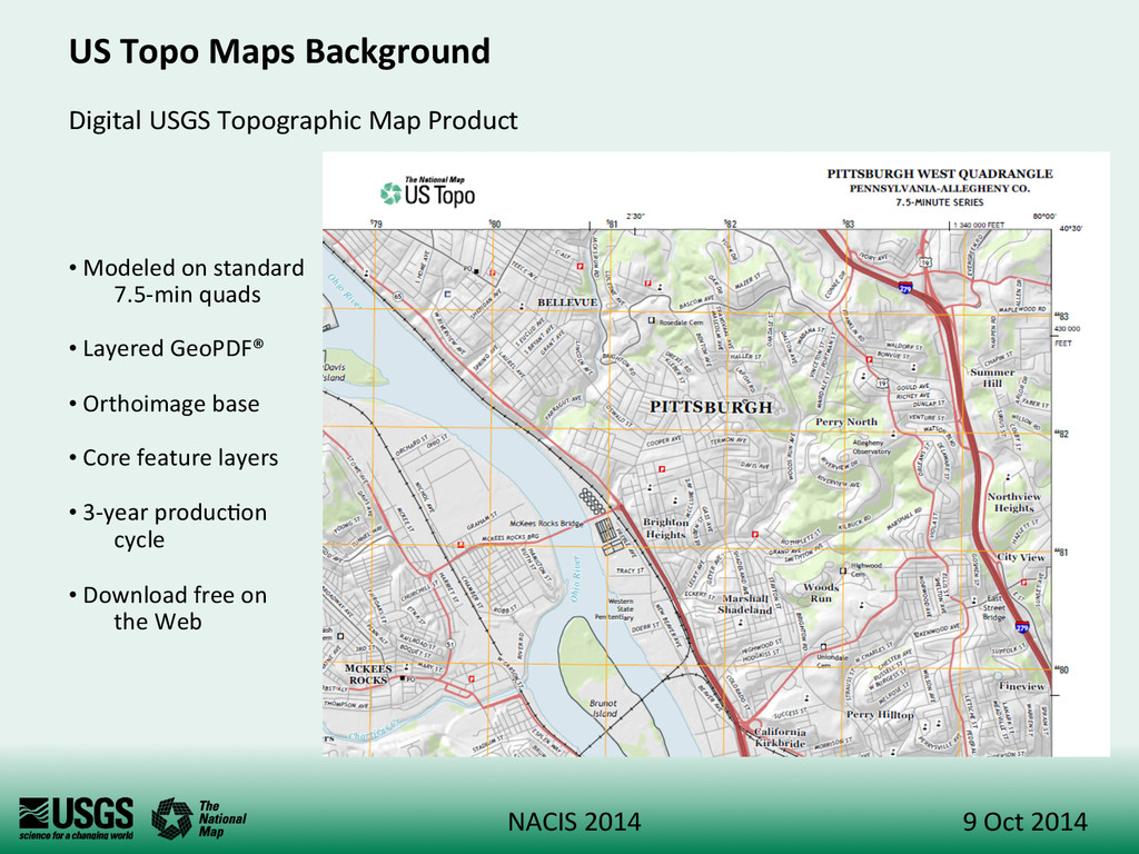
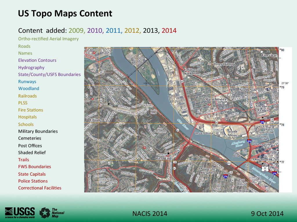
2014 US Topo Maps Background Digital USGS Topographic Map Product • Modeled on standard 7.5-‐min quads • Layered GeoPDF® • Orthoimage base • Core feature layers • 3-‐year produc+on cycle • Download free on the Web
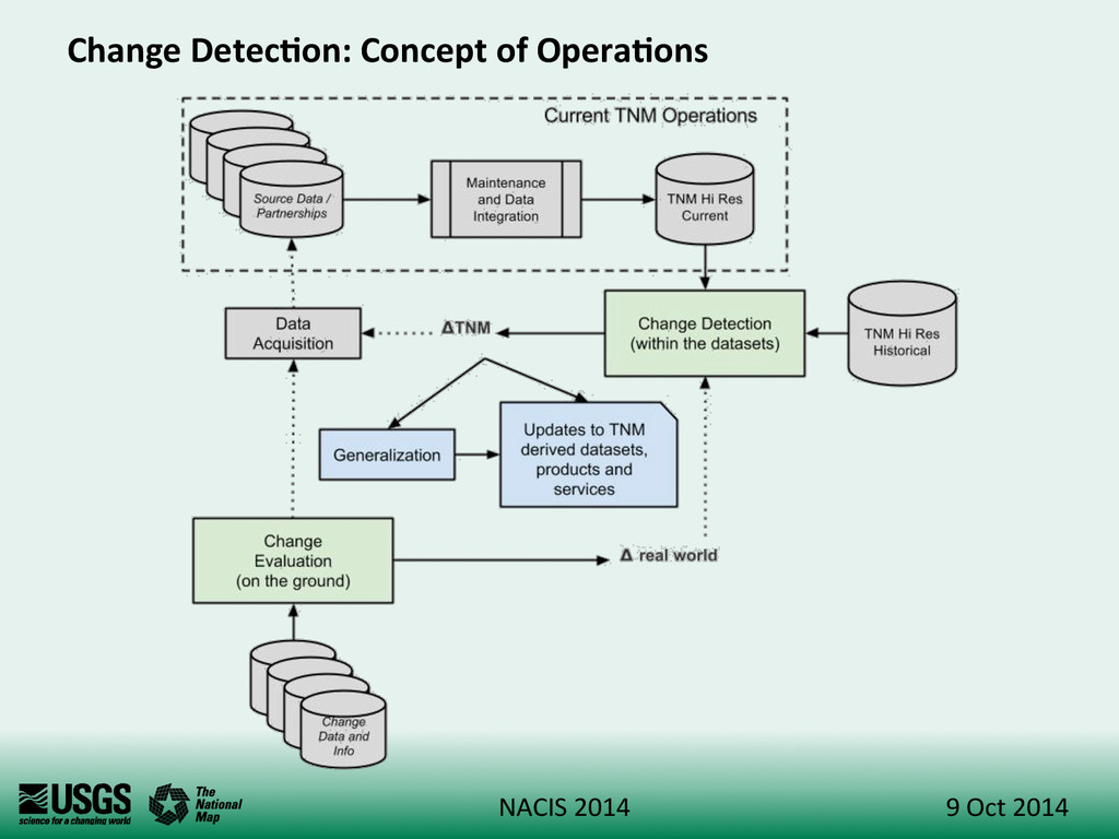
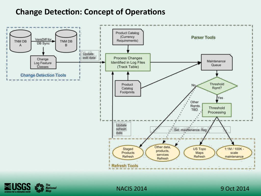
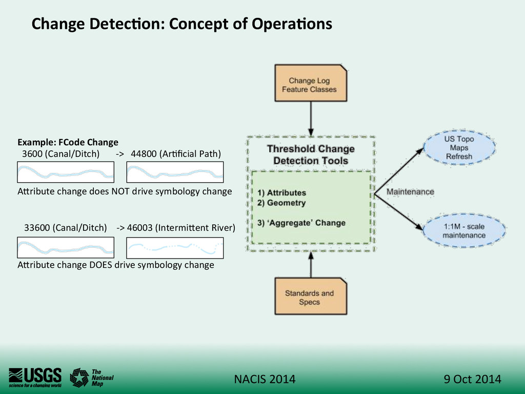
2014 Change Detec:on: Scope and Objec:ves Research into vector based change detec+on to help minimize data maintenance expenditures for The Na+onal Map (TNM) vector Levels-‐of-‐Detail (LoDs) and derived products and services • US Topo Maps • 1:1M-‐scale data / 100K-‐scale data • Vector Staged Products • TNM Viewer map cache and other products and services (TBD) Evalua+on of coarse change data sources • Support for data acquisi+on • Support for change iden+fica+on on-‐the-‐ground
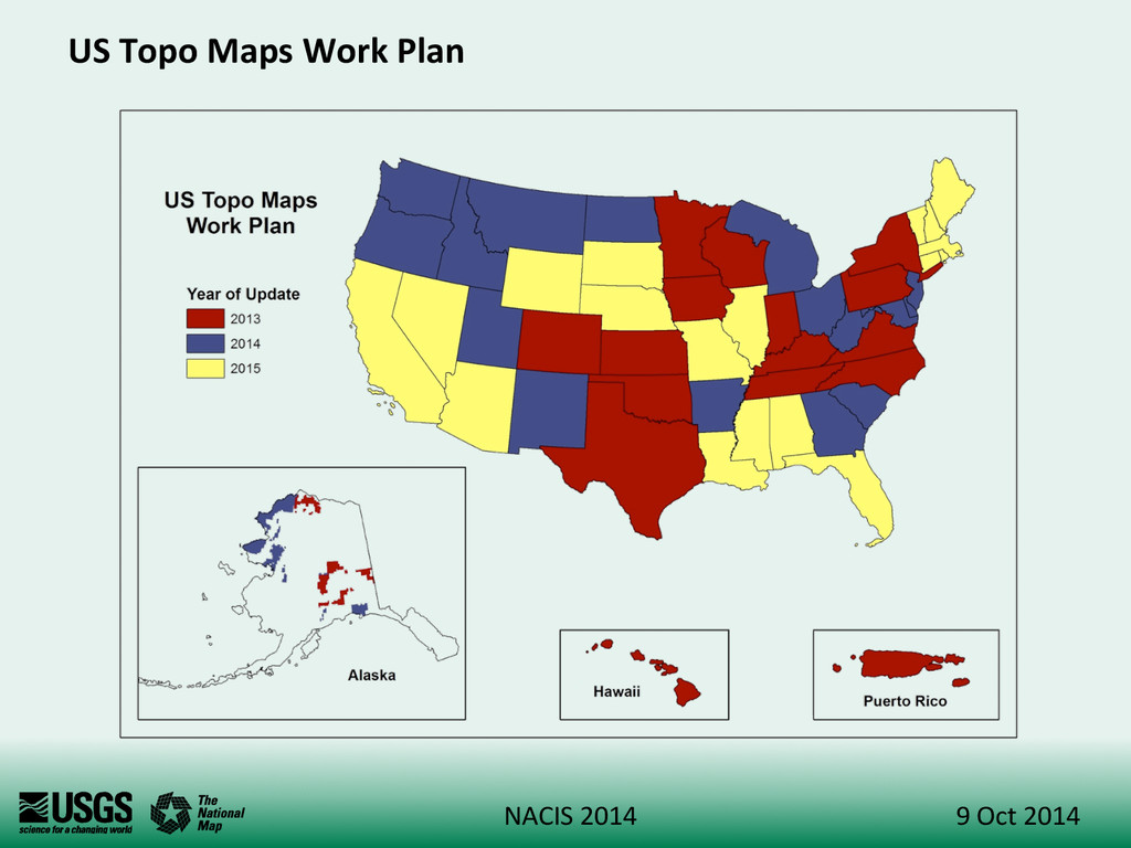
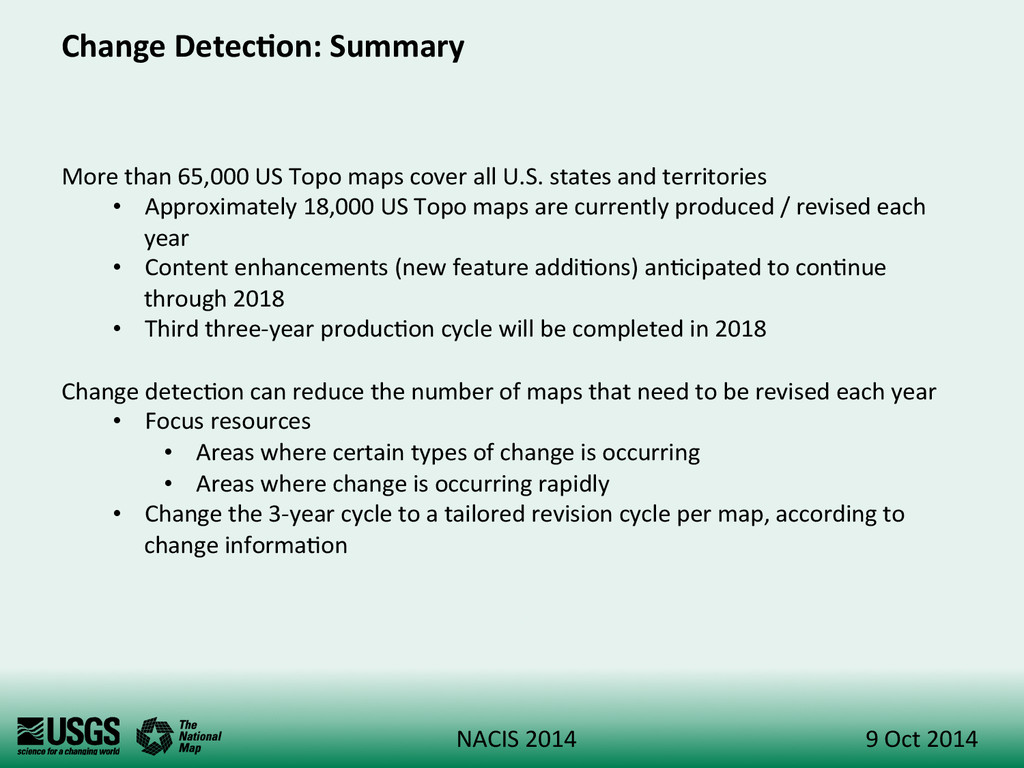
2014 Change Detec:on: Summary More than 65,000 US Topo maps cover all U.S. states and territories • Approximately 18,000 US Topo maps are currently produced / revised each year • Content enhancements (new feature addi+ons) an+cipated to con+nue through 2018 • Third three-‐year produc+on cycle will be completed in 2018 Change detec+on can reduce the number of maps that need to be revised each year • Focus resources • Areas where certain types of change is occurring • Areas where change is occurring rapidly • Change the 3-‐year cycle to a tailored revision cycle per map, according to change informa+on


 amtait
 wataruuuuu
 mickey_0226
 takasehideki
 monochromegane
 yukako_nakano
 institudelelevage
 izumiyama_lab
 rfujii
 reokashiwa
 de9uch1
 matsumooon
 madoxten
 skipperchong
 nikkihalliwell
 ks91
ks91
 smashingmag
 philnash
 palkan
 mraible
 axbom
axbom
 samlambert
 tmiket
 rakko
rakko

![Ques:ons? Kris+n Fishburn Andy Stauffer kafi[email protected]](https://files.speakerdeck.com/presentations/80b22e0035fe013266b61e0423e07788/slide_9.jpg)