Upgrade to Pro — share decks privately, control downloads, hide ads and more …

Partnership Activities for Geospatial-Statistical Integration

Partnership Activities for Geospatial-Statistical Integration

For UN-GGIM-AP WG3 webinar on "Integrating Geospatial Information and Statistics, Answering SDG's Challenge", organized on 2020-10-07T13:00+07:00

Hidenori FUJIMURA

October 07, 2020
Tweet

More Decks by Hidenori FUJIMURA

Other Decks in Technology

Transcript

  1. Ministry of Land, Infrastructure, Transport and Tourism Geospatial Information Authority

    of Japan Partnership Activities for Geospatial-Statistical Integration Hidenori UN-GGIM-AP WG3 vice-chair Geospatial Information Authority of Japan 1
  2. Fujimura Hidenori 1. Vice-chair, UN-GGIM-AP WG3 on integrating geospatial information

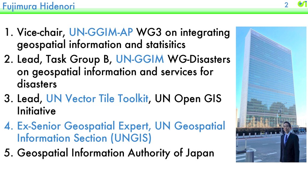
    and statisitics 2. Lead, Task Group B, UN-GGIM WG-Disasters on geospatial information and services for disasters 3. Lead, UN Vector Tile Toolkit, UN Open GIS Initiative 4. Ex-Senior Geospatial Expert, UN Geospatial Information Section (UNGIS) 5. Geospatial Information Authority of Japan 2
  3. Topics 1.Geospatial contribution for the Government in calculating several geo-

    related SDG indicators. 2.Integrating topographic information in visualizing Census Data. 3
  4. Geospatial information for SDG indicators Indicator 15.4.2 - Mountain Green

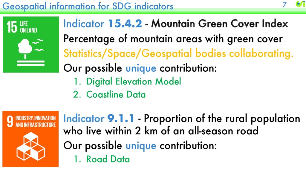
    Cover Index Percentage of mountain areas with green cover Statistics/Space/Geospatial bodies collaborating. Our possible unique contribution: 1. Digital Elevation Model 2. Coastline Data 7 Indicator 9.1.1 - Proportion of the rural population who live within 2 km of an all-season road Our possible unique contribution: 1. Road Data
  5. Topics 1.Geospatial contribution for the Government in calculating several geo-

    related SDG indicators. 2.Integrating topographic information in visualizing Census Data. 8
  6. 13 [Background] Geospatial Information Authority transitioning to Vector Tiles. Vector

    Tiles: an efficient way to expose vector data on the Web.
  7. 15

  8. 16

  9. 17

  10. The best part: it’s FREE and OPEN 18 We have

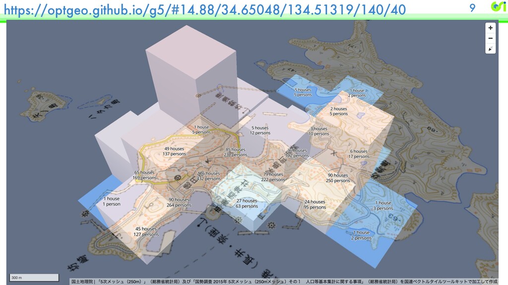
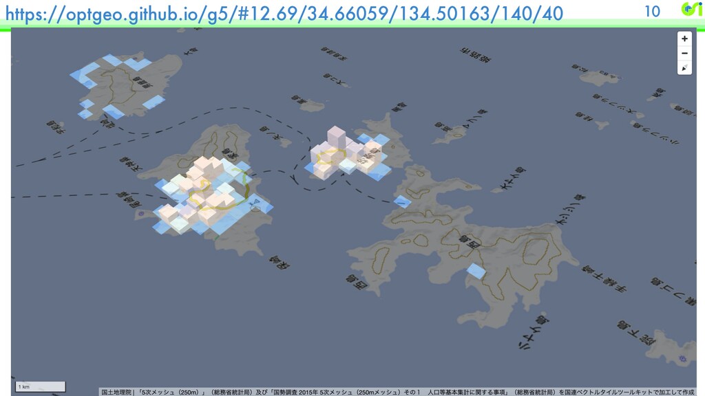
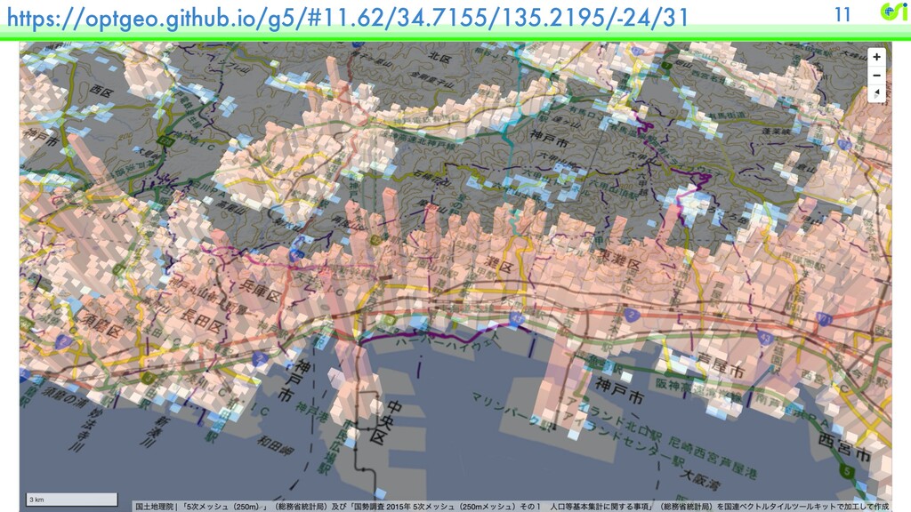
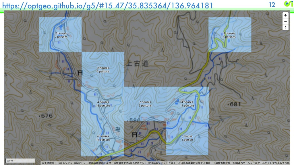
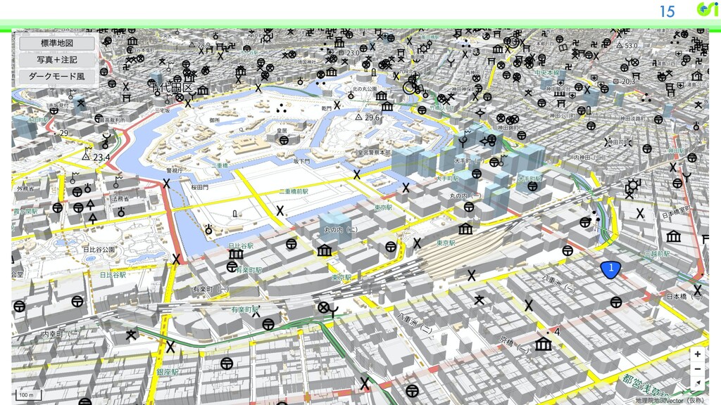
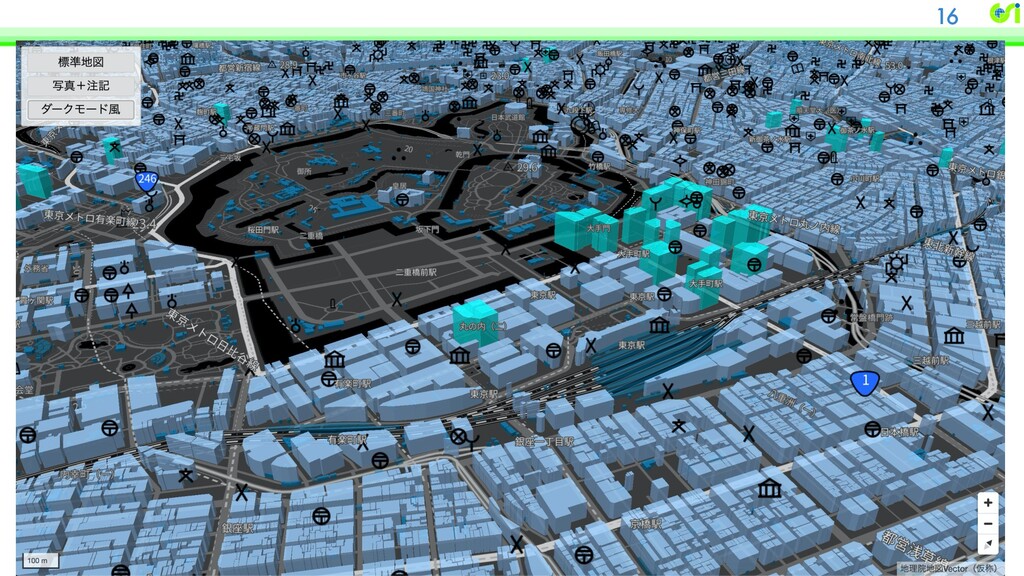
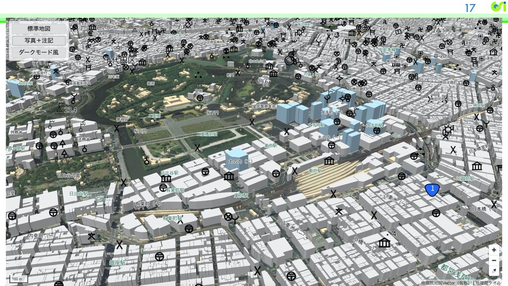
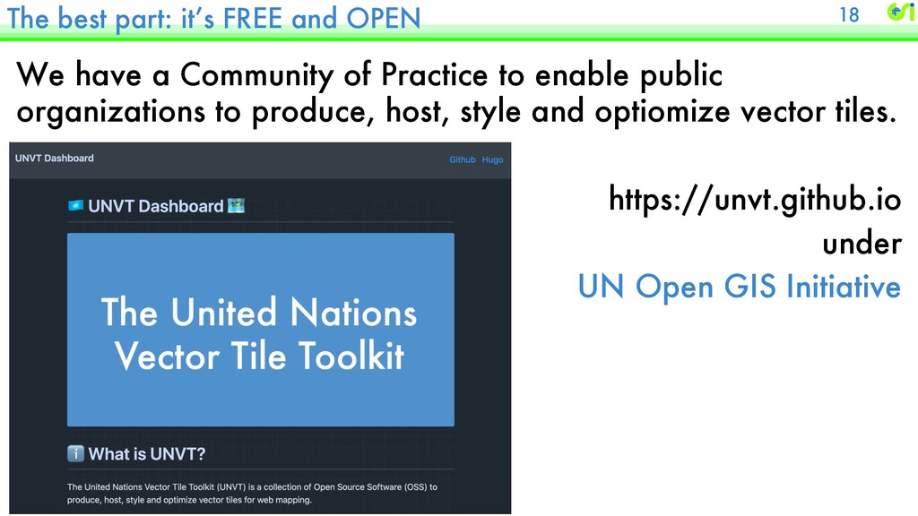
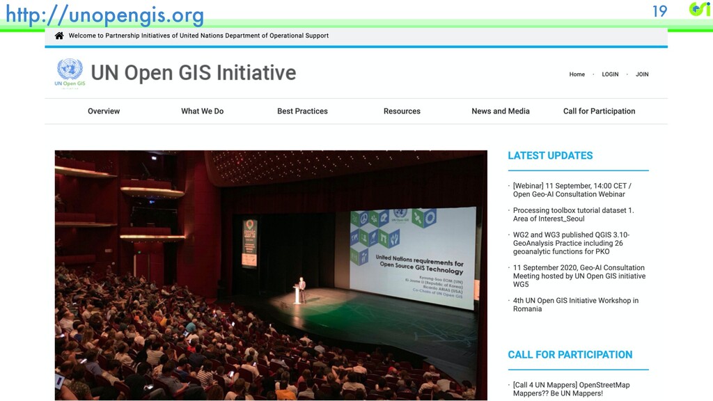
    a Community of Practice to enable public organizations to produce, host, style and optiomize vector tiles. https://unvt.github.io under UN Open GIS Initiative
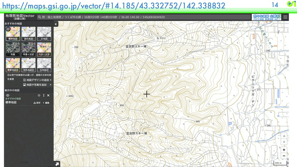
  11. Capacity Building materials - $100 vector tile server 20 Masatering

    UNVT using a single-board PC https://github.com/unvt/washi/issues/1