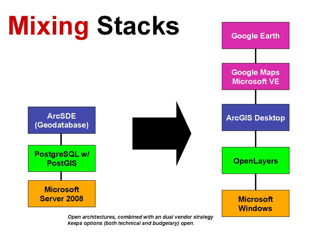
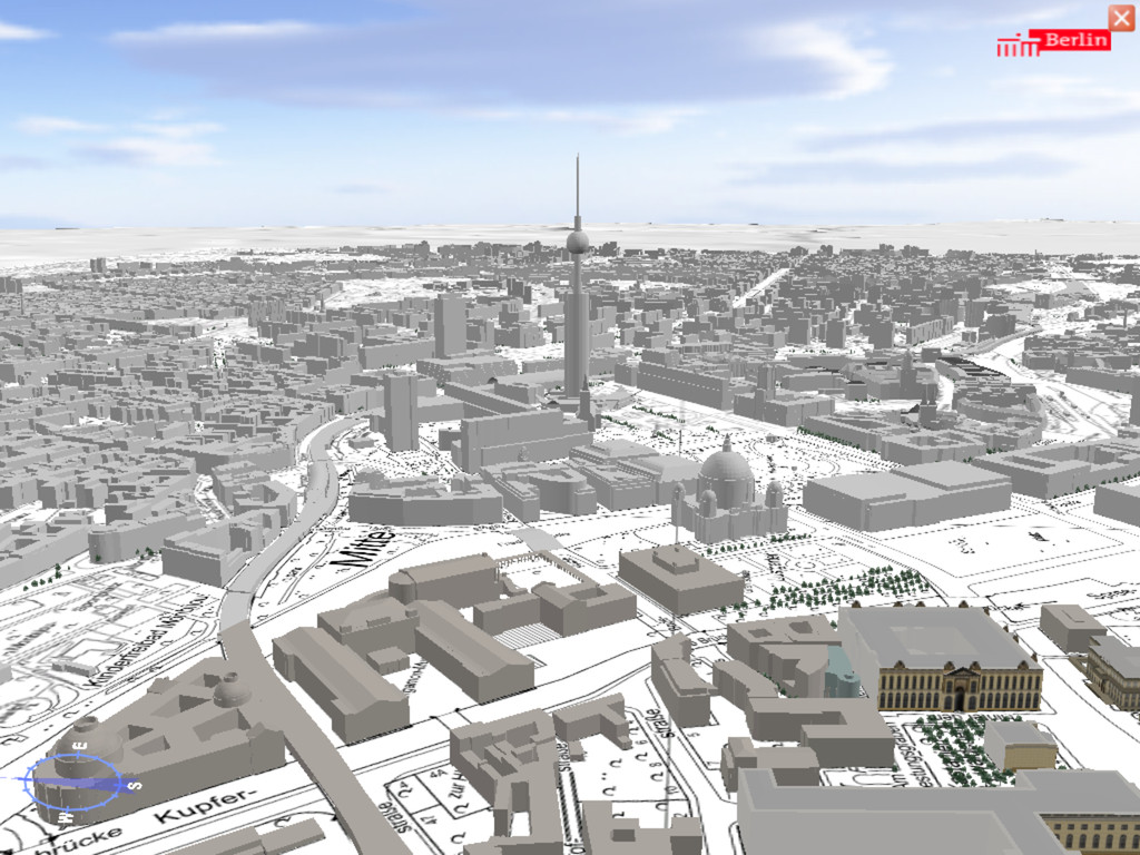
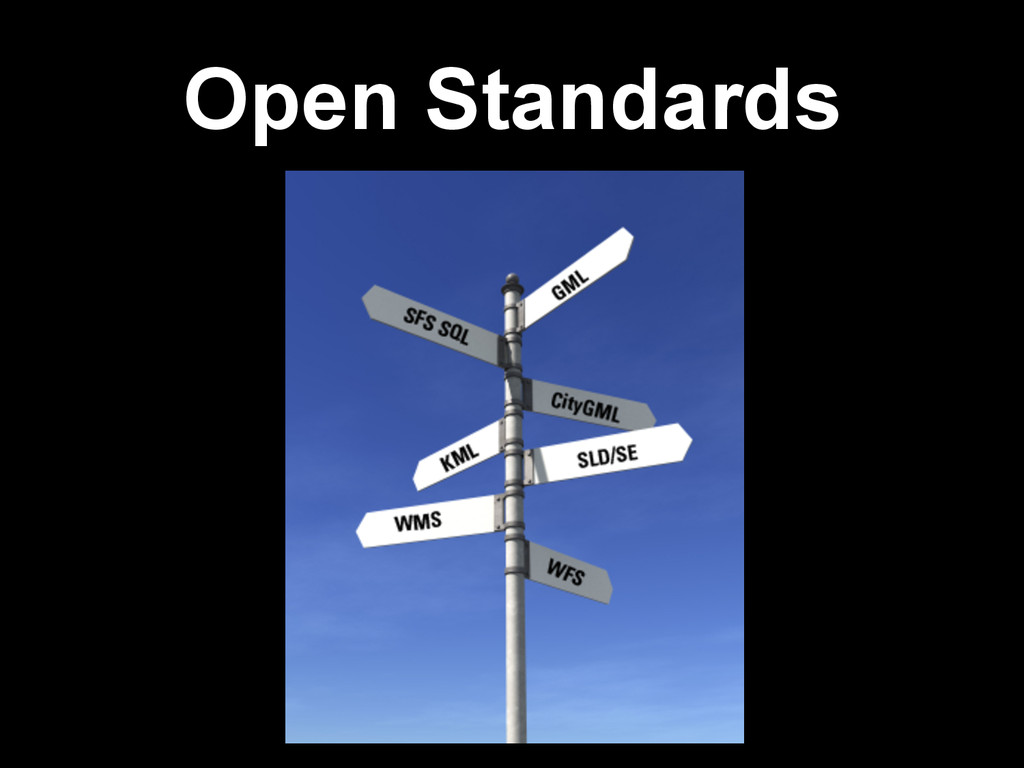
Server 2008 Open architectures, combined with an dual vendor strategy keeps options (both technical and budgetary) open. Google Earth Google Maps Microsoft VE ArcGIS Desktop OpenLayers Microsoft Windows
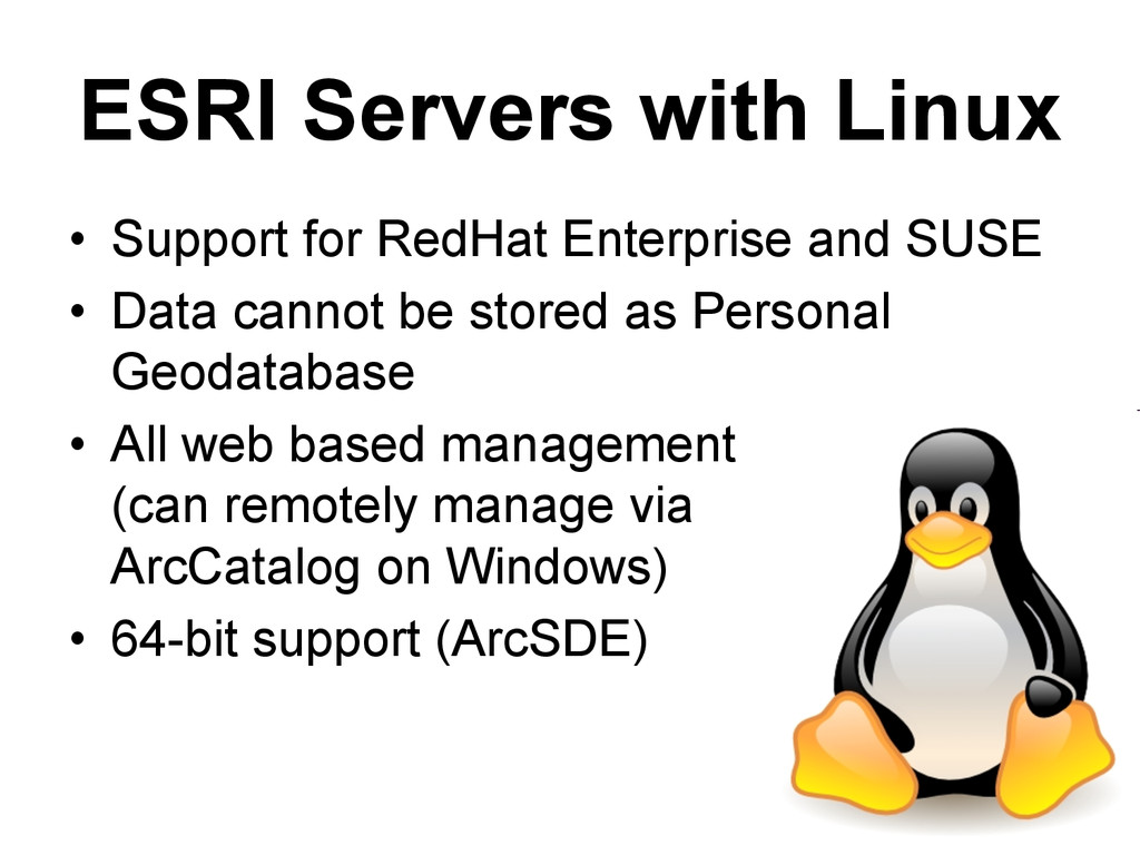
SUSE • Data cannot be stored as Personal Geodatabase • All web based management (can remotely manage via ArcCatalog on Windows) • 64-bit support (ArcSDE)
![James Fee [email protected] Twitter: @cageyjames](https://files.speakerdeck.com/presentations/852a6f2620724c7692de8f4baa97ebce/slide_88.jpg)