Upgrade to Pro
— share decks privately, control downloads, hide ads and more …
Speaker Deck
Features
Speaker Deck
PRO
Sign in
Sign up for free
Search
Search
[SOTM.TW 2013] The mapping status of bus lines ...
Search
Hsiao-Ting Yu
November 09, 2013
Technology
250
0
Share
Embed
Copy iframe code
Copy JS code
Copy link
Start on current slide
[SOTM.TW 2013] The mapping status of bus lines in Taiwan
Hsiao-Ting Yu
November 09, 2013
More Decks by Hsiao-Ting Yu
See All by Hsiao-Ting Yu
有人用了更頭大: OpenStreetMap 的社群營運挑戰
littlebtc
0
93
COSCUP 17 Lightning Talk
littlebtc
0
210
[COSCUP 2014] Take Back the Map to People: When OpenStreetMap Meets Taiwan Social Issues
littlebtc
0
240
(Mobile) App and Open Source: Kamigami Client on Various Platforms
littlebtc
0
540
Mobile Web Issues: Limitation and Experience
littlebtc
1
310
From Rails to Node.js + Backbone: The Rewrite of TouchLimit
littlebtc
2
220
Other Decks in Technology
See All in Technology
環境凍結という Toil を倒す -セルフサービス型 Ephemeral テスト環境の 設計と実践
shirouz
1
2.3k
AI時代のエンジニアキャリアについて今一度考える
sakamoto_582
2
1.5k
SRE Next 2026 何でも屋からの脱却
bto
0
670
Claude Code公式skillで 自分の仕事を少しずつ手放そう!(Claude Code開発ノウハウ大公開スペシャル by クラスメソッド)
kaym
1
310
“それは自分の仕事じゃない"を 越えて行け
yuukiyo
0
170
貴方はどのエンジニアリングを磨くのか
hatyibei
0
130
AICoEでAIネイティブ組織への進化
yukiogawa
0
170
Claude Codeとハーネスについて考えてみる
oikon48
18
9.4k
なぜ私たちのSREプラクティスはなかなか機能しないのか 〜システムより先に組織を見る〜 / Why our SRE practices aren't really working
vtryo
3
3.7k
Foxgloveについて 実際にExtensionを開発して公開するまでの話 / About Foxglove: The Story of Developing and Releasing an Extension
ry0_ka
0
210
AI Agent SaaS を支える自社仮想化基盤への挑戦と実運用 / ai-agent-saas-virtualization
flatt_security
2
3.8k
SRE本の知られざる名シーン / The Hidden Gems of Google SRE Book
nari_ex
1
380
Featured
See All Featured
Design in an AI World
tapps
1
260
What’s in a name? Adding method to the madness
productmarketing
PRO
24
4.1k
SERP Conf. Vienna - Web Accessibility: Optimizing for Inclusivity and SEO
sarafernandez
2
1.5k
Large-scale JavaScript Application Architecture
addyosmani
515
110k
Responsive Adventures: Dirty Tricks From The Dark Corners of Front-End
smashingmag
254
22k
Designing for humans not robots
tammielis
254
26k
Agile Actions for Facilitating Distributed Teams - ADO2019
mkilby
0
220
More Than Pixels: Becoming A User Experience Designer
marktimemedia
3
460
My Coaching Mixtape
mlcsv
0
170
New Earth Scene 8
popppiees
3
2.4k
Visual Storytelling: How to be a Superhuman Communicator
reverentgeek
2
590
Fashionably flexible responsive web design (full day workshop)
malarkey
408
67k
Transcript
OSM 進階運⽤用: 突飛猛進的台灣公⾞車路線 陳瑞霖(Supaplex) 尤孝庭 (Littlebtc) State of the Map
2013 Taiwan (http://sotm.tw) Slides Released under CC-BY-SA 3.0 except otherwise noted. ! ! Backgrond: Map Data © OpenStreetMap contributors under ODBL, Tiles © OpenCycleMap under CC-BY-SA 2.0
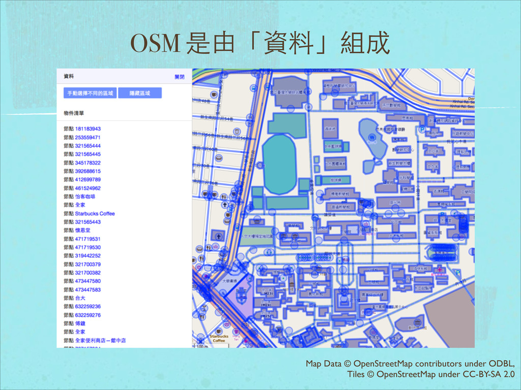
OSM 是由「資料」組成 Map Data © OpenStreetMap contributors under ODBL, Tiles
© OpenStreetMap under CC-BY-SA 2.0
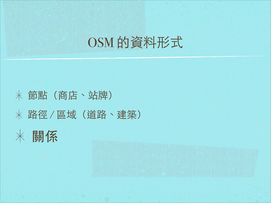
OSM 的資料形式 節點(商店、站牌) 路徑 / 區域(道路、建築) 關係
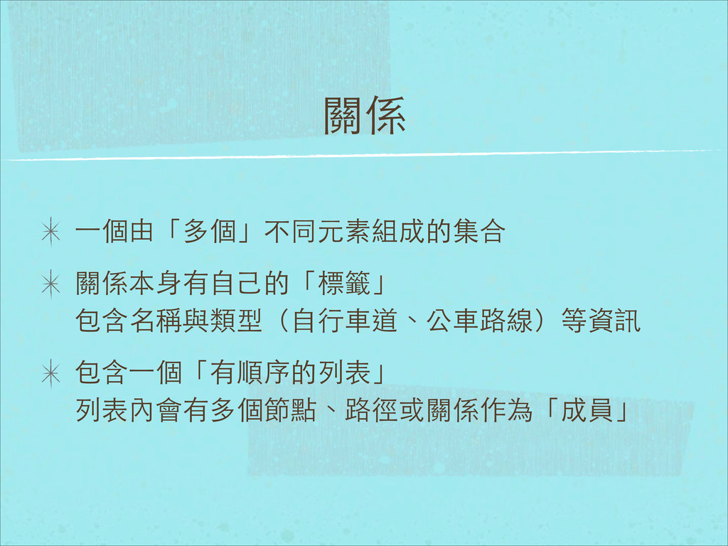
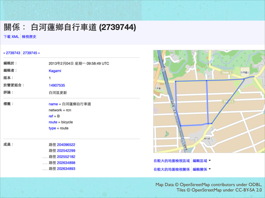
關係 ⼀一個由「多個」不同元素組成的集合 關係本⾝身有⾃自⼰己的「標籤」 包含名稱與類型(⾃自⾏行⾞車道、公⾞車路線)等資訊 包含⼀一個「有順序的列表」 列表內會有多個節點、路徑或關係作為「成員」
Map Data © OpenStreetMap contributors under ODBL, Tiles © OpenStreetMap
under CC-BY-SA 2.0
Map Data © OpenStreetMap contributors under ODBL, Tiles © OpenCycleMap
under CC-BY-SA 2.0
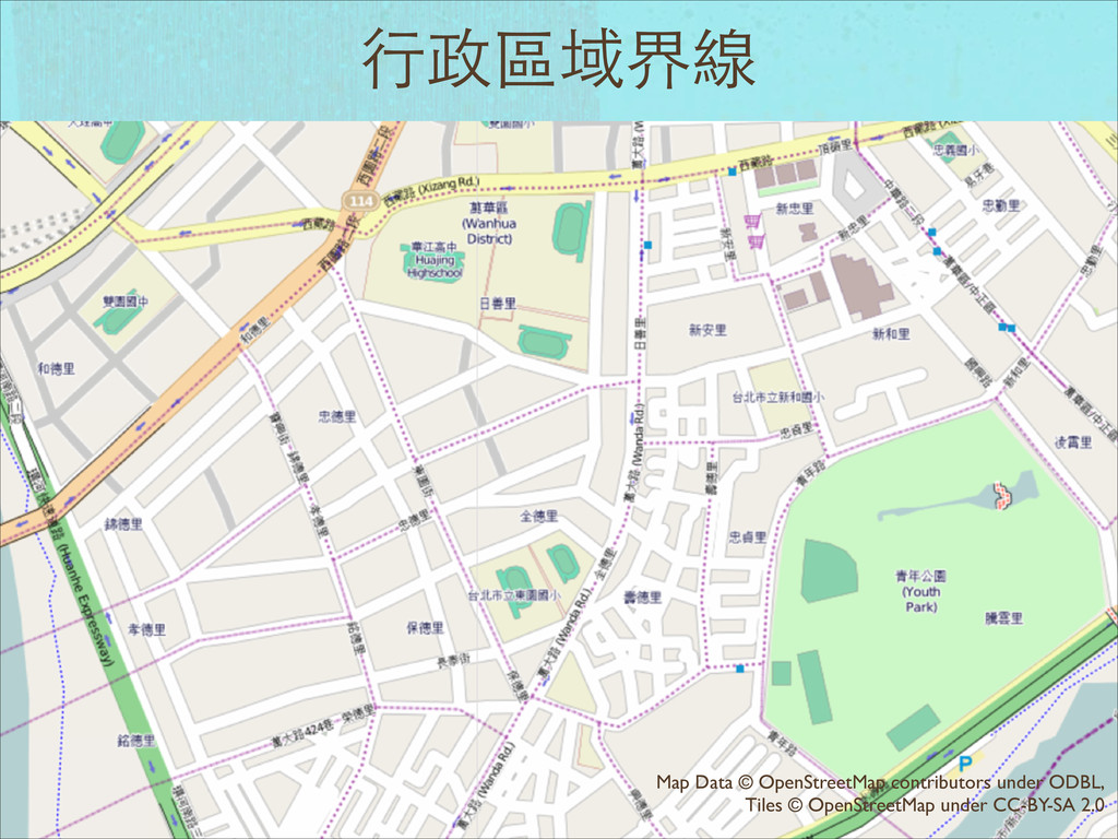
⾏行政區域界線 Map Data © OpenStreetMap contributors under ODBL, Tiles ©
OpenStreetMap under CC-BY-SA 2.0
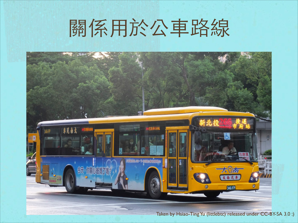
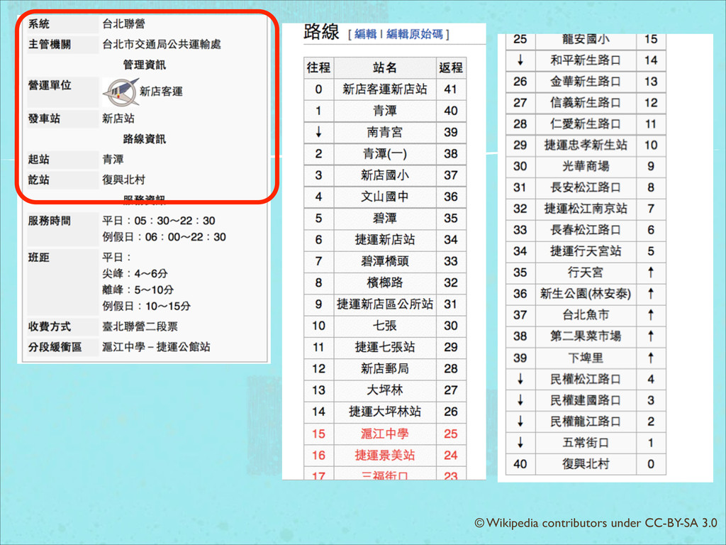
關係⽤用於公⾞車路線 Taken by Hsiao-Ting Yu (littlebtc) released under CC-BY-SA 3.0
:)
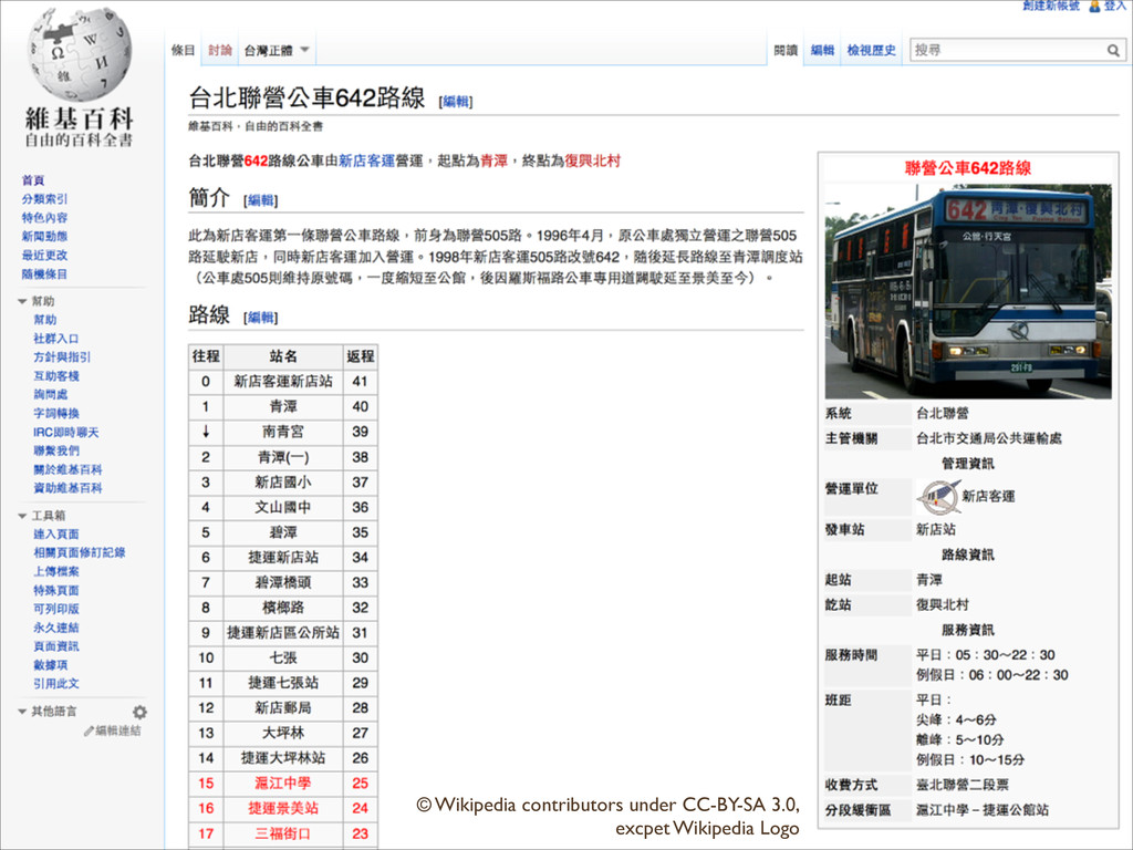
© Wikipedia contributors under CC-BY-SA 3.0, excpet Wikipedia Logo
© Wikipedia contributors under CC-BY-SA 3.0
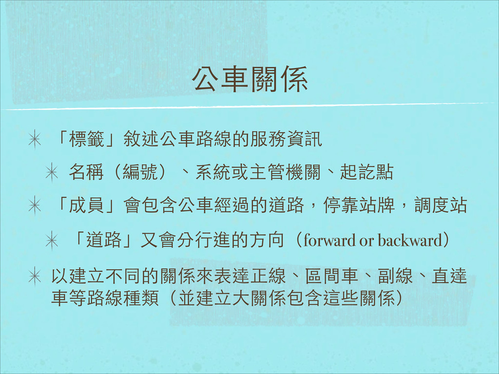
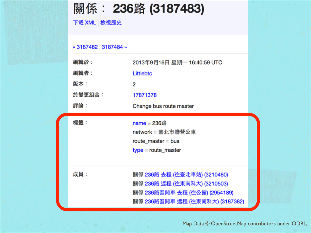
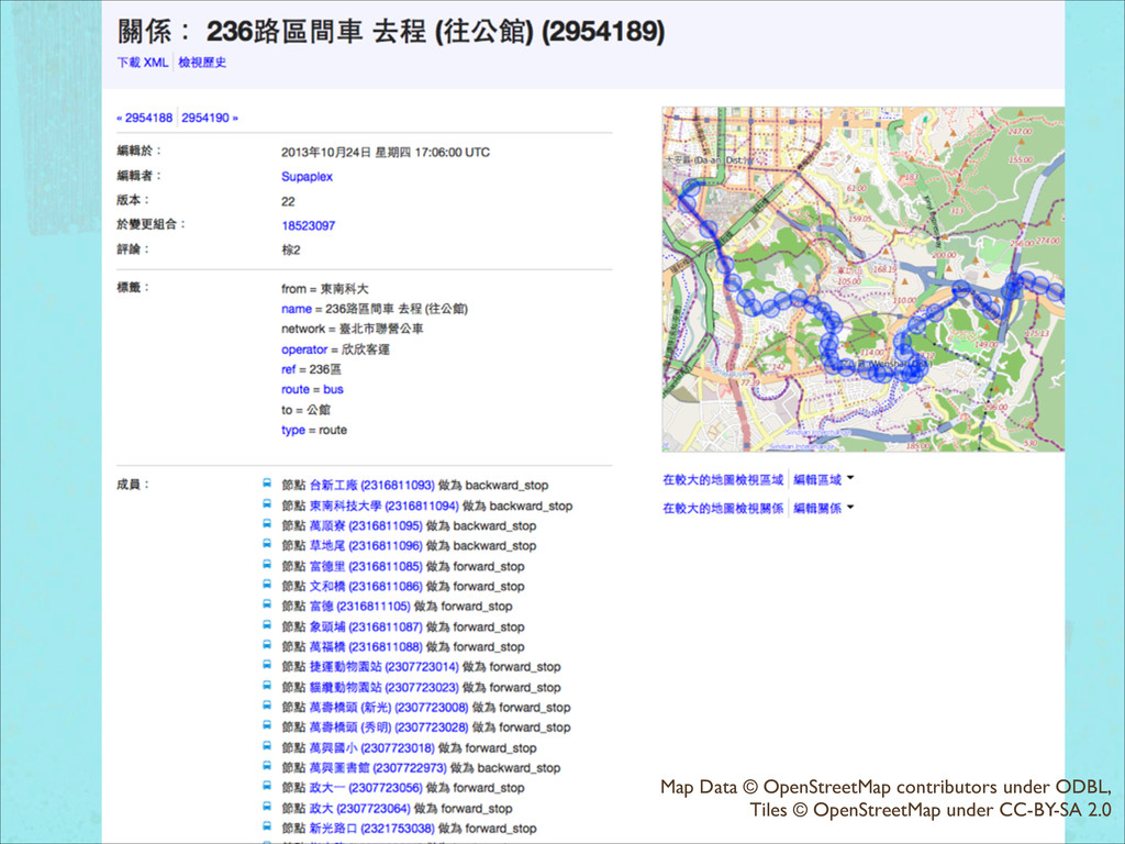
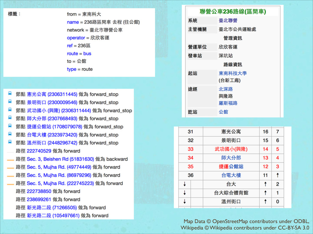
公⾞車關係 「標籤」敘述公⾞車路線的服務資訊 名稱(編號)、系統或主管機關、起訖點 「成員」會包含公⾞車經過的道路,停靠站牌,調度站 「道路」⼜又會分⾏行進的⽅方向(forward or backward) 以建⽴立不同的關係來表達正線、區間⾞車、副線、直達 ⾞車等路線種類(並建⽴立⼤大關係包含這些關係)
Map Data © OpenStreetMap contributors under ODBL,
Map Data © OpenStreetMap contributors under ODBL, Tiles © OpenStreetMap
under CC-BY-SA 2.0
Map Data © OpenStreetMap contributors under ODBL, Wikipedia © Wikipedia
contributors under CC-BY-SA 3.0
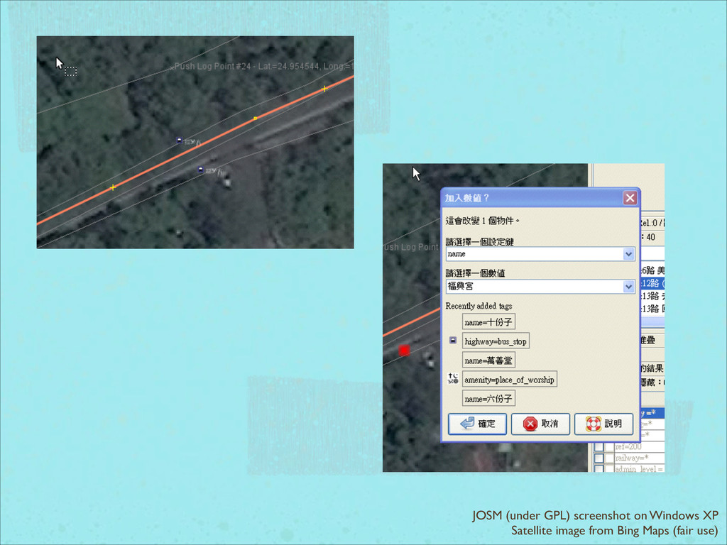
JOSM (under GPL) screenshot on Windows XP Satellite image from
Bing Maps (fair use)
JOSM (under GPL) screenshot on Windows XP Map Data ©
OpenStreetMap contributors under ODBL,
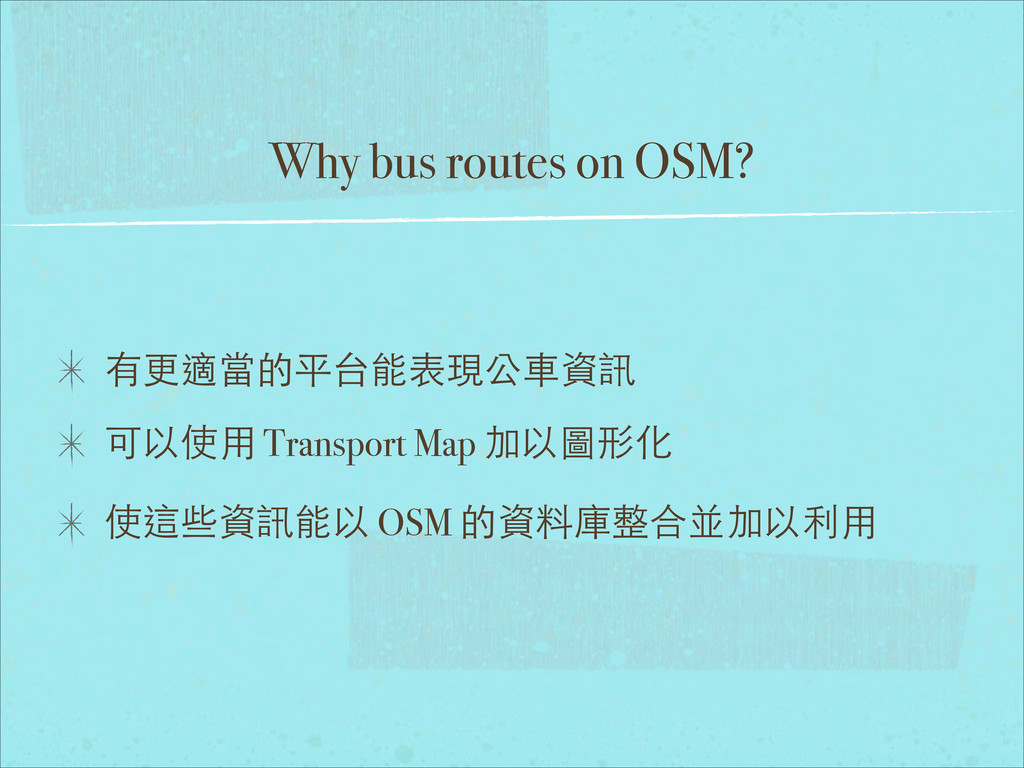
Why bus routes on OSM? 有更適當的平台能表現公⾞車資訊 可以使⽤用 Transport Map 加以圖形化
使這些資訊能以 OSM 的資料庫整合並加以利⽤用
臺灣⼤大眾運輸路線 OSM 繪製概況
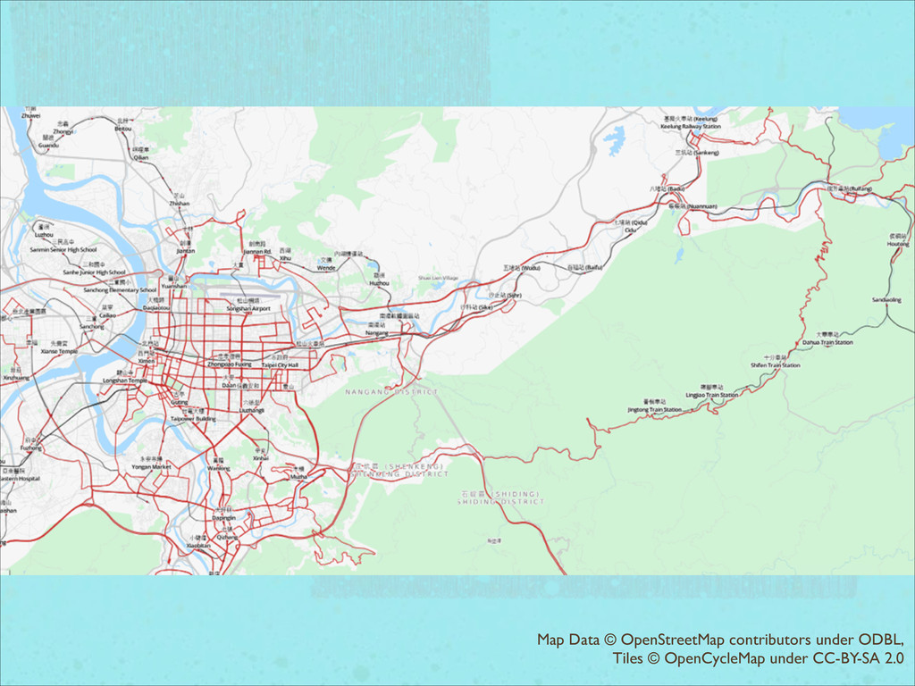
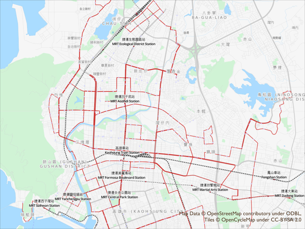
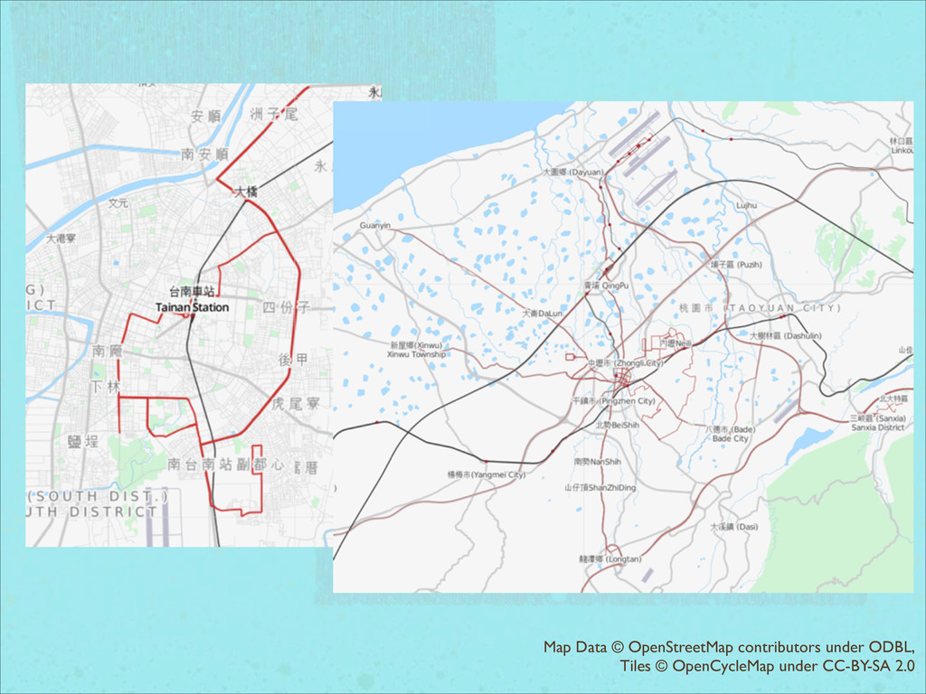
⼤大眾運輸在 OSM ⺫⽬目前已經開始系統化編輯的區域: ⼤大台北(台北、新北、基隆) 桃園 台南 ⾼高雄
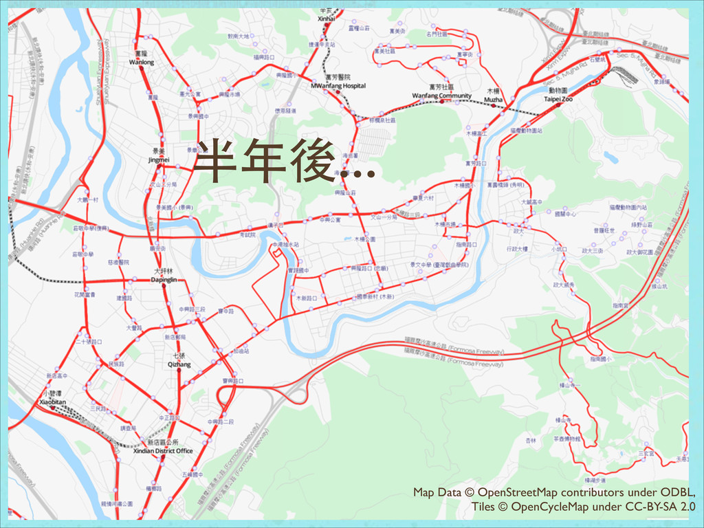
歷史 ⼀一開始是從⾼高雄市開始 後來陸續有台南和基隆區域的繪製 近期是⼤大台北區域(⽂文⼭山、新店、中和)的系統化 站牌與路線建制
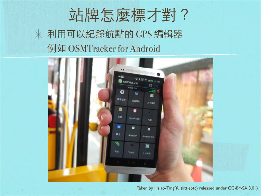
站牌怎麼標才對? 利⽤用可以紀錄航點的 GPS 編輯器 例如 OSMTracker for Android Taken by
Hsiao-Ting Yu (littlebtc) released under CC-BY-SA 3.0 :)
為什麼要⾃自⼰己來? 政府不是有作? Google Maps 不是有作? →Copyright Issues :’(
半年後... Map Data © OpenStreetMap contributors under ODBL, Tiles ©
OpenCycleMap under CC-BY-SA 2.0
Map Data © OpenStreetMap contributors under ODBL, Tiles © OpenCycleMap
under CC-BY-SA 2.0
Map Data © OpenStreetMap contributors under ODBL, Tiles © OpenCycleMap
under CC-BY-SA 2.0
Map Data © OpenStreetMap contributors under ODBL, Tiles © OpenCycleMap
under CC-BY-SA 2.0
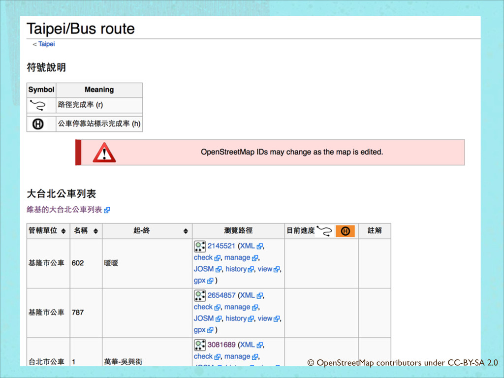
© OpenStreetMap contributors under CC-BY-SA 2.0
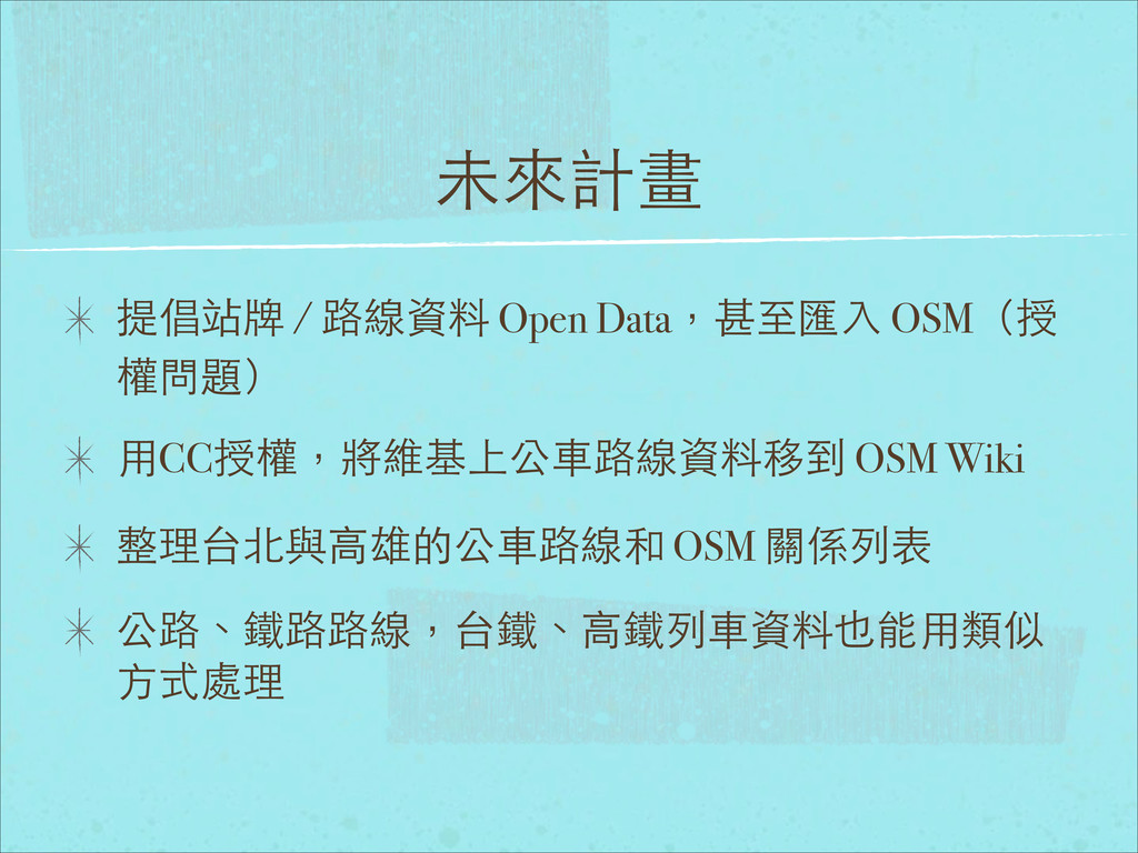
未來計畫 提倡站牌 / 路線資料 Open Data,甚⾄至匯⼊入 OSM(授 權問題) ⽤用CC授權,將維基上公⾞車路線資料移到 OSM
Wiki 整理台北與⾼高雄的公⾞車路線和 OSM 關係列表 公路、鐵路路線,台鐵、⾼高鐵列⾞車資料也能⽤用類似 ⽅方式處理
謝謝⼤大家