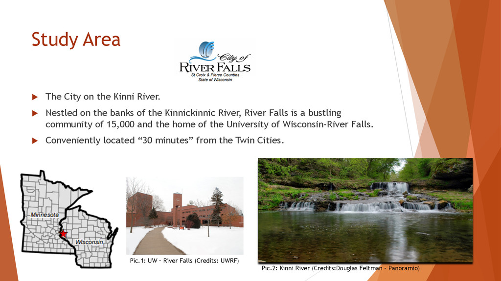
Nestled on the banks of the Kinnickinnic River, River Falls is a bustling community of 15,000 and the home of the University of Wisconsin-River Falls. u Conveniently located “30 minutes” from the Twin Cities. Pic.2: Kinni River (Credits:Douglas Feltman – Panoramio) Pic.1: UW – River Falls (Credits: UWRF)
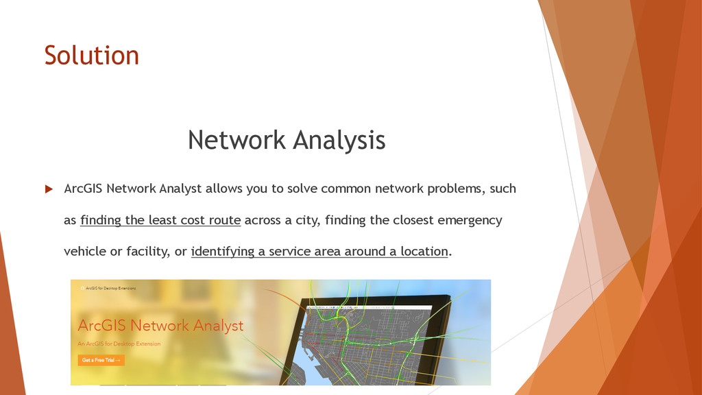
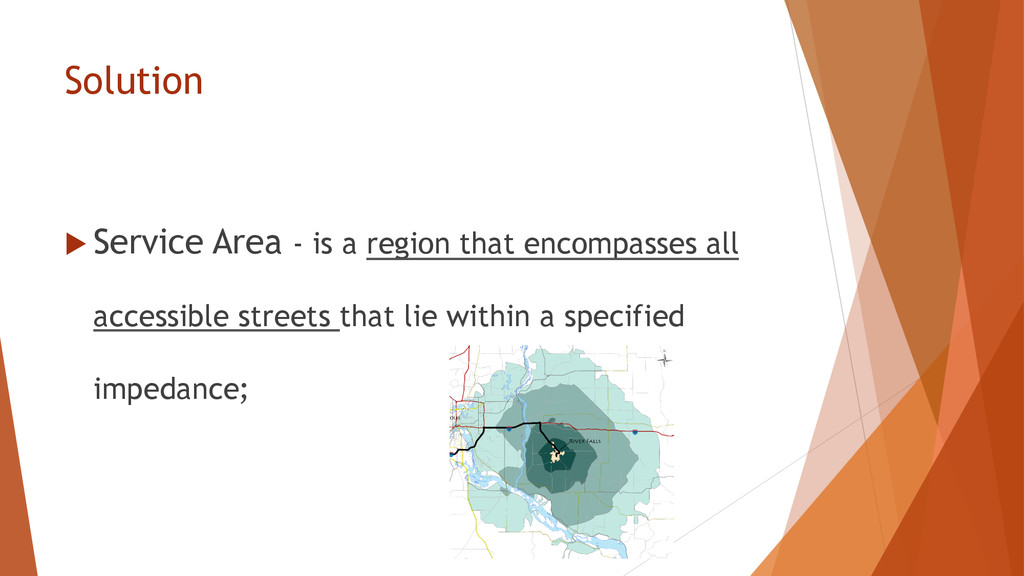
solve common network problems, such as finding the least cost route across a city, finding the closest emergency vehicle or facility, or identifying a service area around a location.