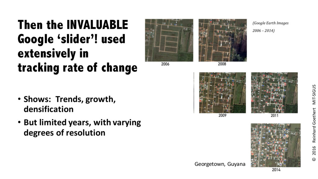
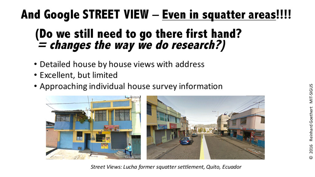
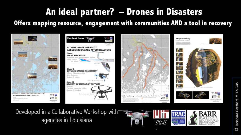
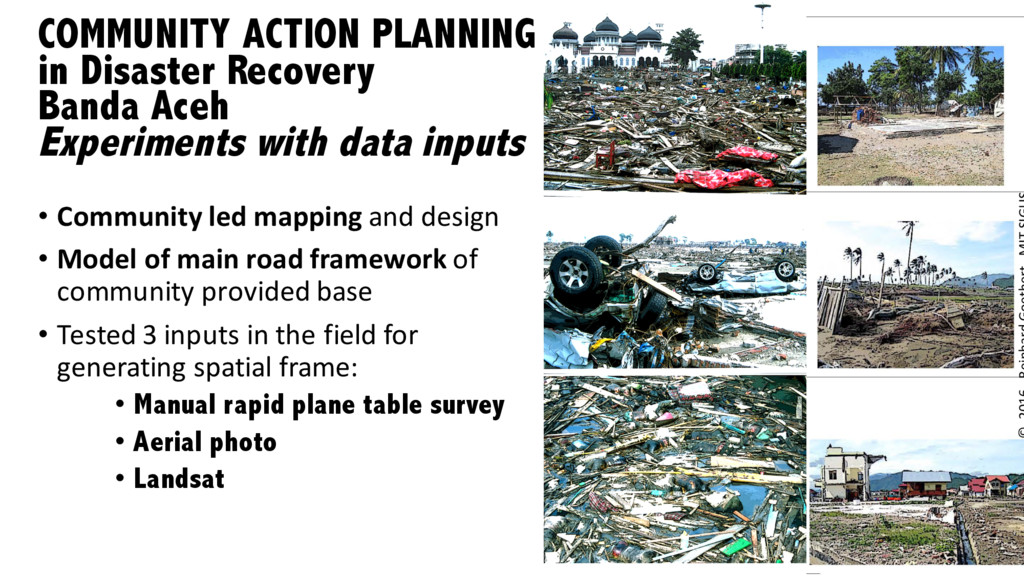
Satellite and drone images provide the framework for detailed community surveys in rapidly developing contexts. Examples will be shown from Tsunami rebuilding in Banda Aceh, Egyptian self-built housing projects, recent Louisiana coast line experimentation, and ongoing work in Quito.