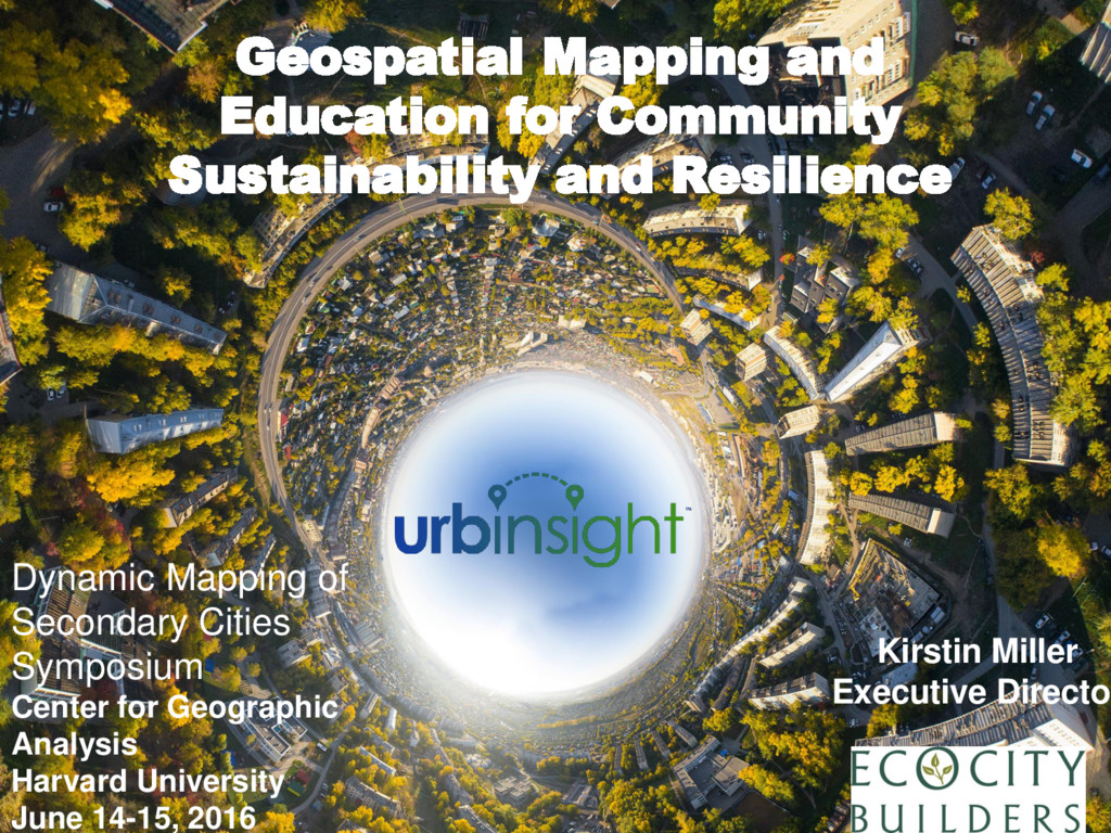
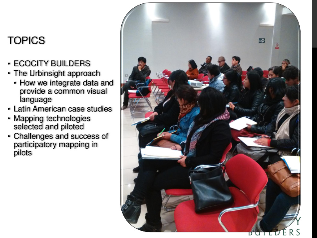
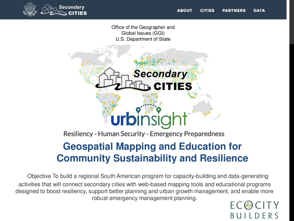
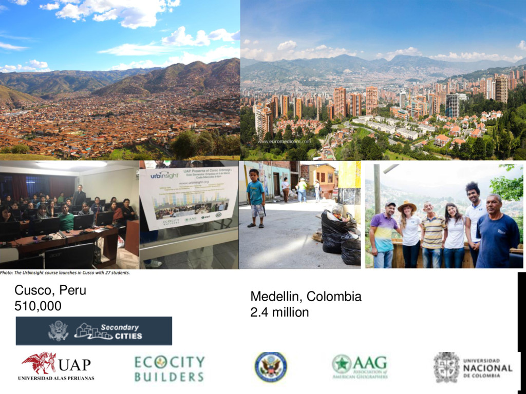
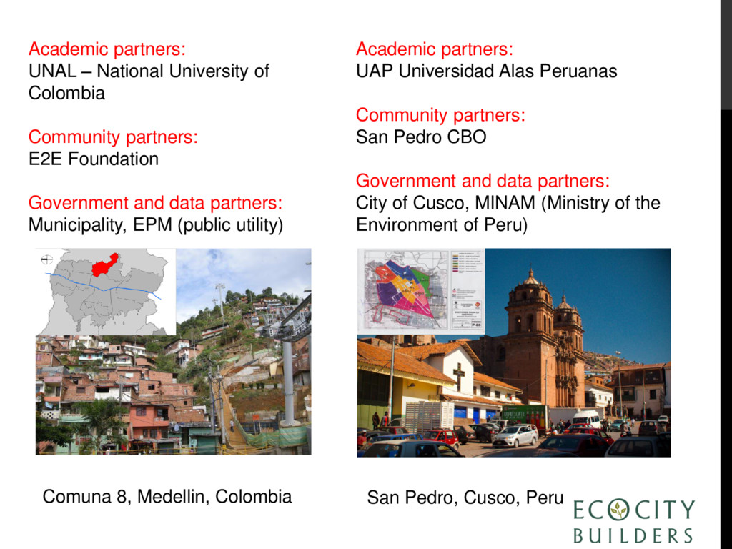
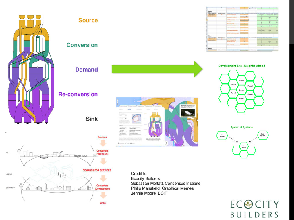
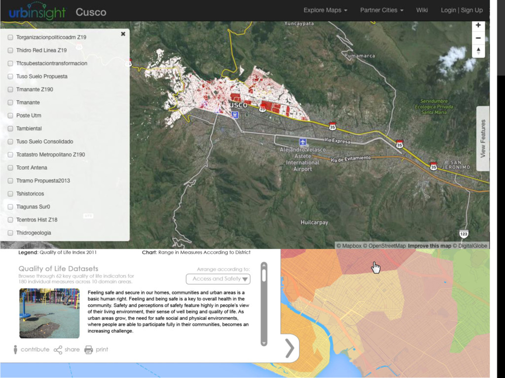
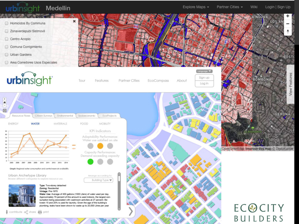
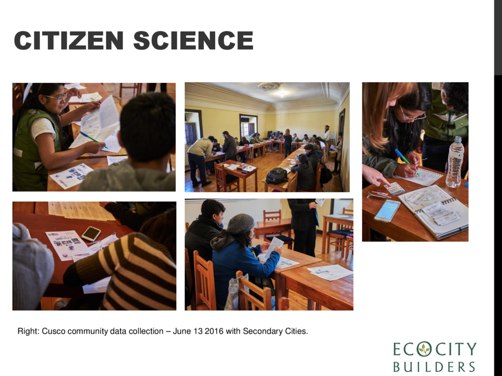
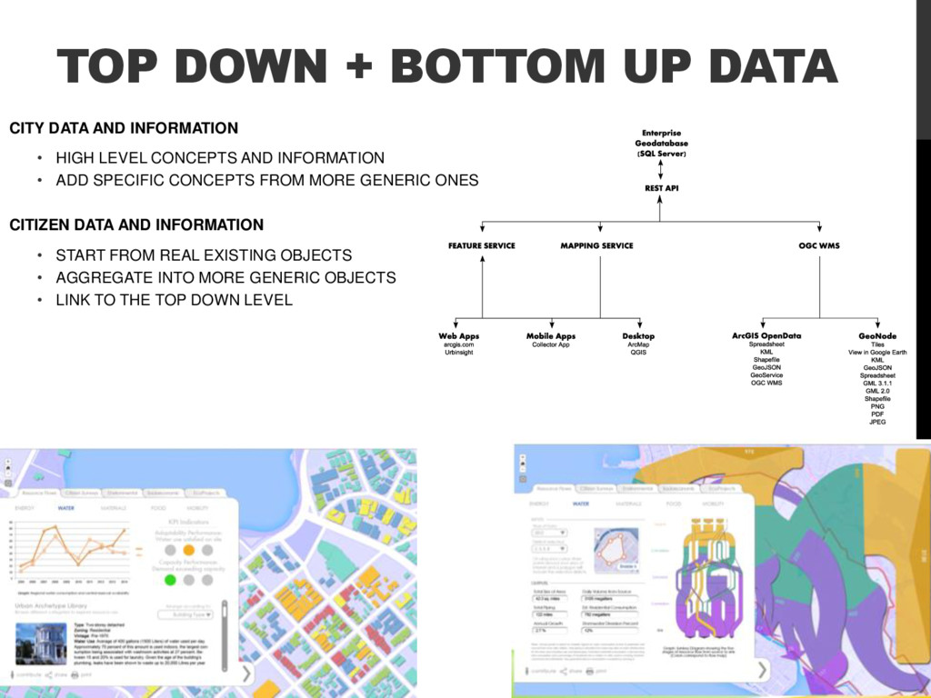
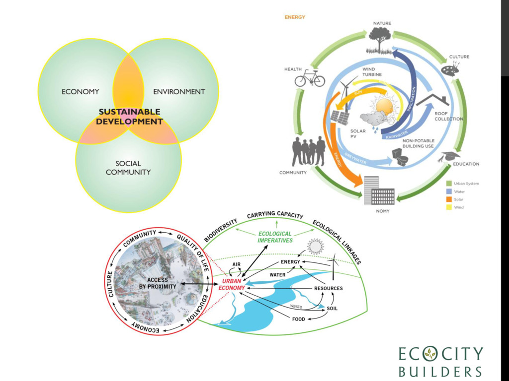
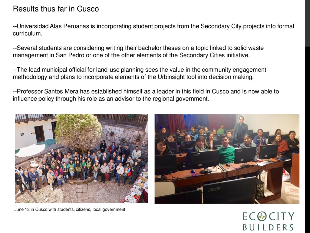
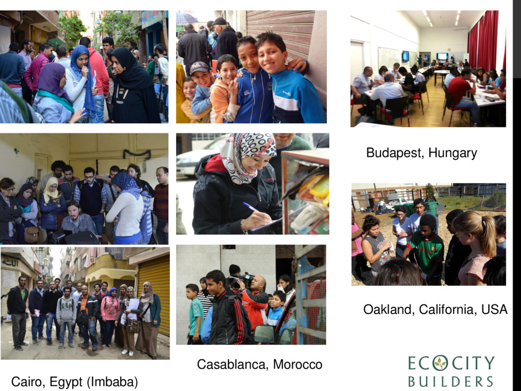
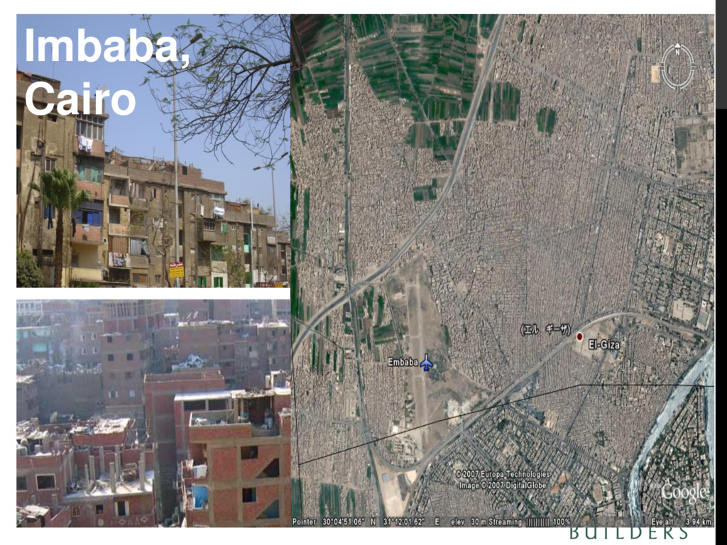
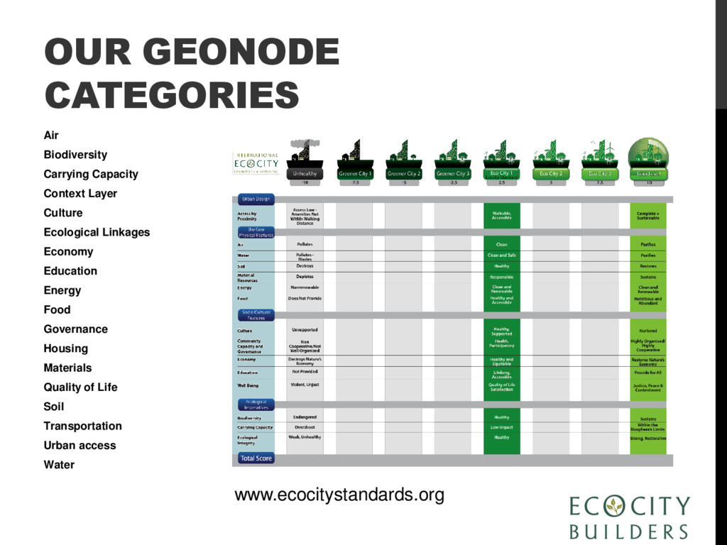
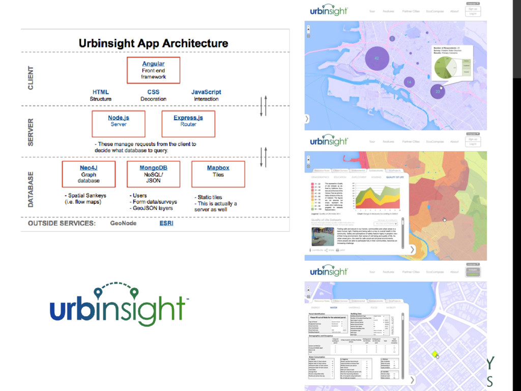
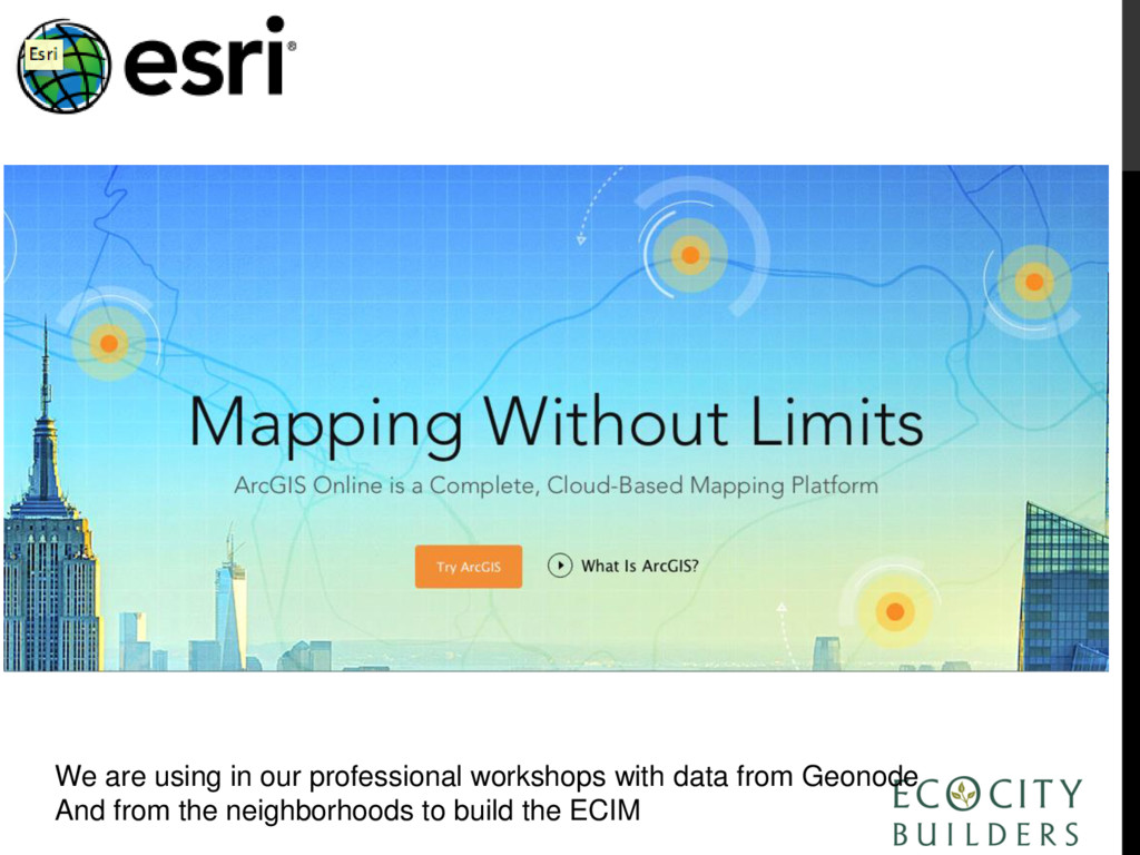
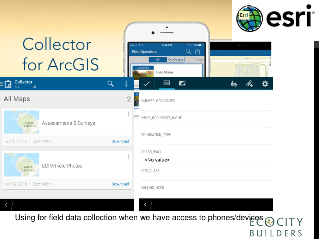
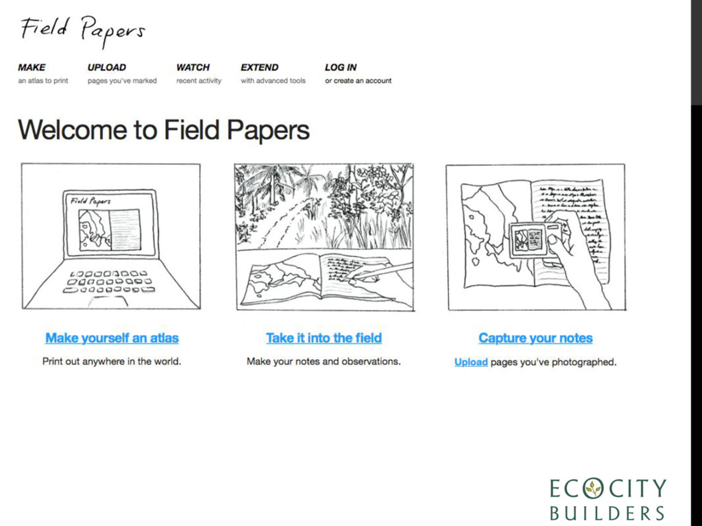
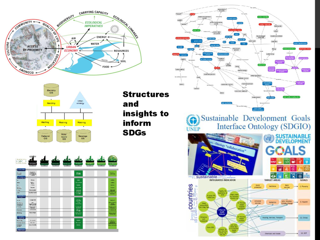
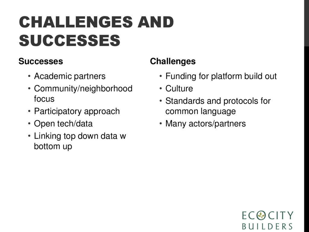
This presentation will introduce an interdisciplinary, educational and participatory approach to neighborhood and city-level data collection, management and visualization that supports community-led strategies for urban sustainability and resilience. Highlighted will be processes that integrate environmental, social and economic data for an urban area and its surrounding region, providing a common visual language that facilitates discussion between local stakeholders and government agencies. Current Latin American case studies under the Office of the Geographer’s Secondary Cities Program will be showcased, including a low income community of Medellin, Colombia, and an historic neighborhood in Cusco, Peru. Topics covered will include a discussion of mapping technologies selected and piloted and their advantages and disadvantages, the challenges and successes of participatory mapping in the case study locations, and conclusions drawn thus far from the experience.
![THANK YOU KIRSTIN MILLER Executive Director, Ecocity Builders [email protected] www.ecocitybuilders.org](https://files.speakerdeck.com/presentations/5bbbddcb95e5487d987cbd47b3f7970c/slide_40.jpg)