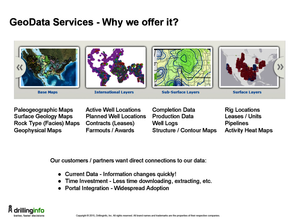
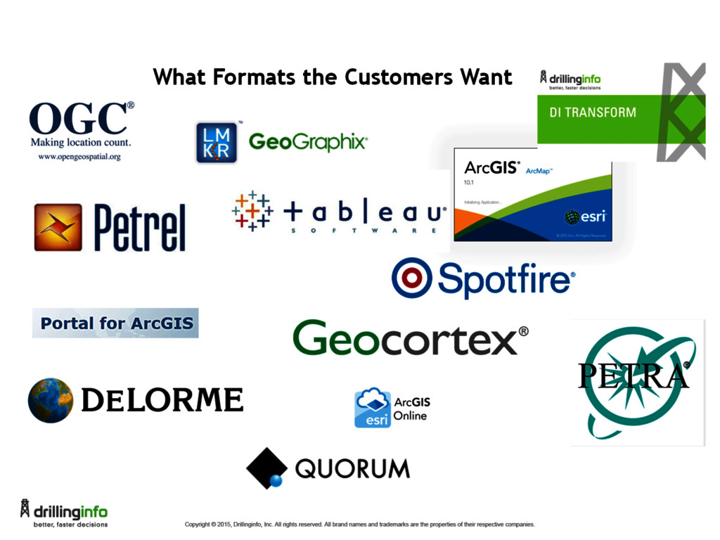
Geology Maps Rock Type (Facies) Maps Geophysical Maps Active Well Locations Planned Well Locations Contracts (Leases) Farmouts / Awards Completion Data Production Data Well Logs Structure / Contour Maps Rig Locations Leases / Units Pipelines Activity Heat Maps Our customers / partners want direct connections to our data: • Current Data - Information changes quickly! • Time Investment - Less time downloading, extracting, etc. • Portal Integration - Widespread Adoption
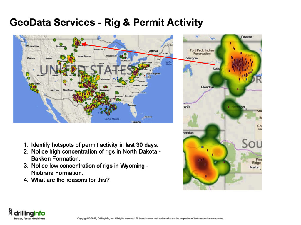
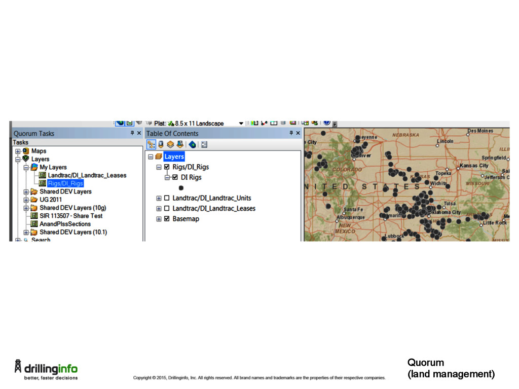
of permit activity in last 30 days. 2. Notice high concentration of rigs in North Dakota - Bakken Formation. 3. Notice low concentration of rigs in Wyoming - Niobrara Formation. 4. What are the reasons for this?
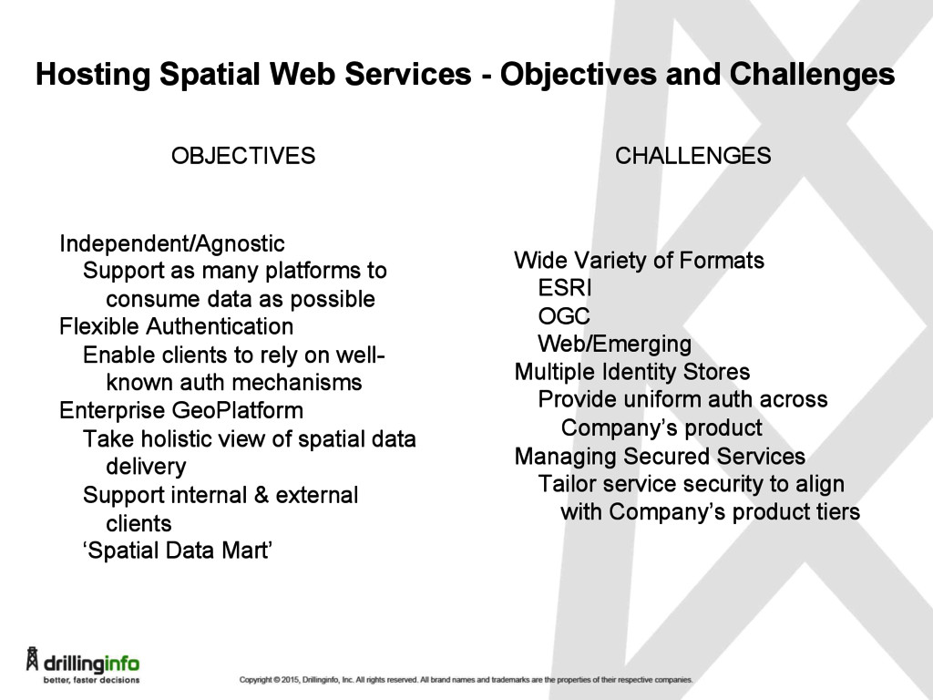
as many platforms to consume data as possible Flexible Authentication Enable clients to rely on well- known auth mechanisms Enterprise GeoPlatform Take holistic view of spatial data delivery Support internal & external clients ‘Spatial Data Mart’ OBJECTIVES CHALLENGES Wide Variety of Formats ESRI OGC Web/Emerging Multiple Identity Stores Provide uniform auth across Company’s product Managing Secured Services Tailor service security to align with Company’s product tiers
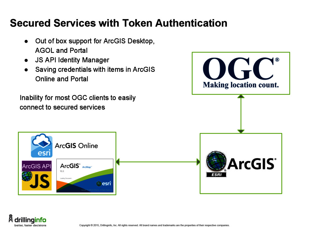
for ArcGIS Desktop, AGOL and Portal • JS API Identity Manager • Saving credentials with items in ArcGIS Online and Portal Inability for most OGC clients to easily connect to secured services
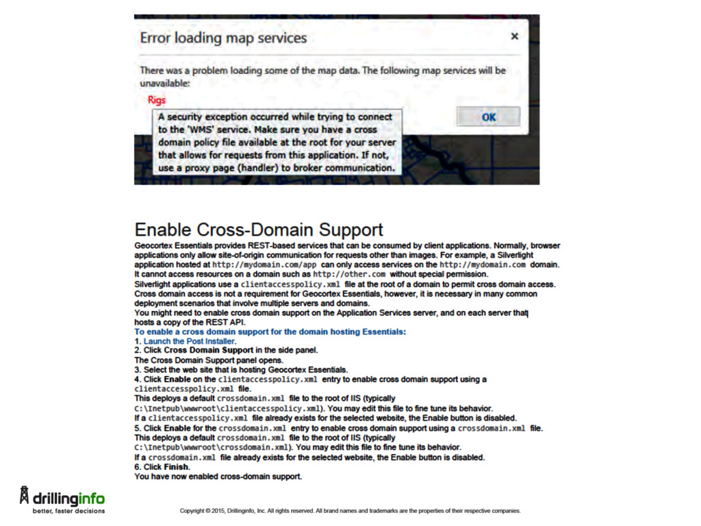
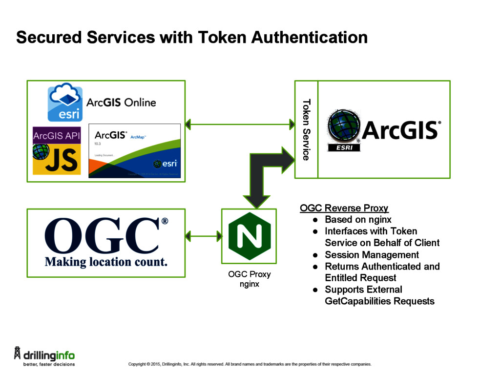
OGC Reverse Proxy • Based on nginx • Interfaces with Token Service on Behalf of Client • Session Management • Returns Authenticated and Entitled Request • Supports External GetCapabilities Requests
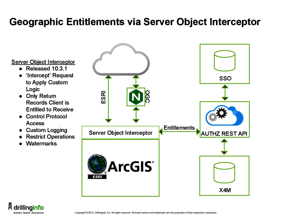
OGC X4M AUTHZ REST API Server Object Interceptor • Released 10.3.1 • ‘Intercept’ Request to Apply Custom Logic • Only Return Records Client is Entitled to Receive • Control Protocol Access • Custom Logging • Restrict Operations • Watermarks SSO Entitlements
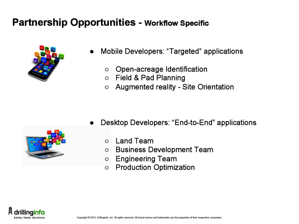
◦ Open-acreage Identification ◦ Field & Pad Planning ◦ Augmented reality - Site Orientation • Desktop Developers: “End-to-End” applications ◦ Land Team ◦ Business Development Team ◦ Engineering Team ◦ Production Optimization
![THANK YOU Questions? Contact Info: [email protected]; [email protected]; [email protected]](https://files.speakerdeck.com/presentations/6b83278d9b114398a082ea1e77afbaa9/slide_30.jpg)