Abstract Formerly considered beyond the reach of many budgets, GIS technology is now part of the daily workflow for local government departments and businesses of every size. No longer constrained by overly complex software requiring highly skilled technicians, or by expensive acquisition and maintenance costs, GIS professionals are learning the value of GIS self-sufficiency. In this presentation, we will take a look at some of the cost considerations in the implementation of a GIS and consider low-cost software alternatives that are ideally suited to the challenges of today’s GIS professionals.
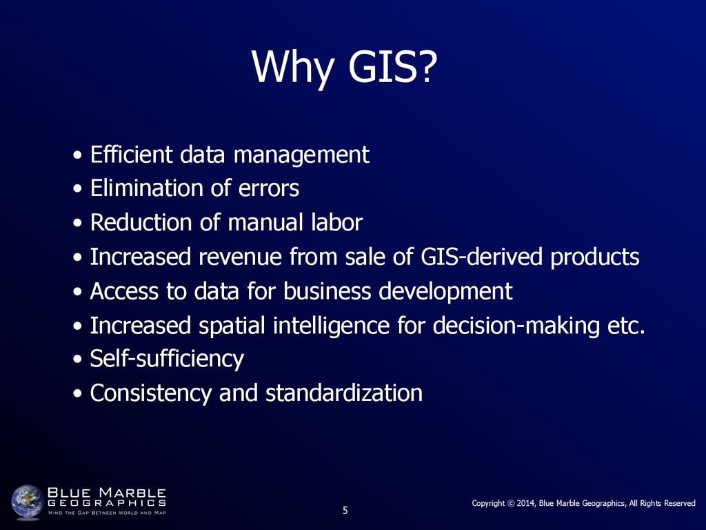
Why GIS? • Efficient data management • Elimination of errors • Reduction of manual labor • Increased revenue from sale of GIS-derived products • Access to data for business development • Increased spatial intelligence for decision-making etc. • Self-sufficiency • Consistency and standardization
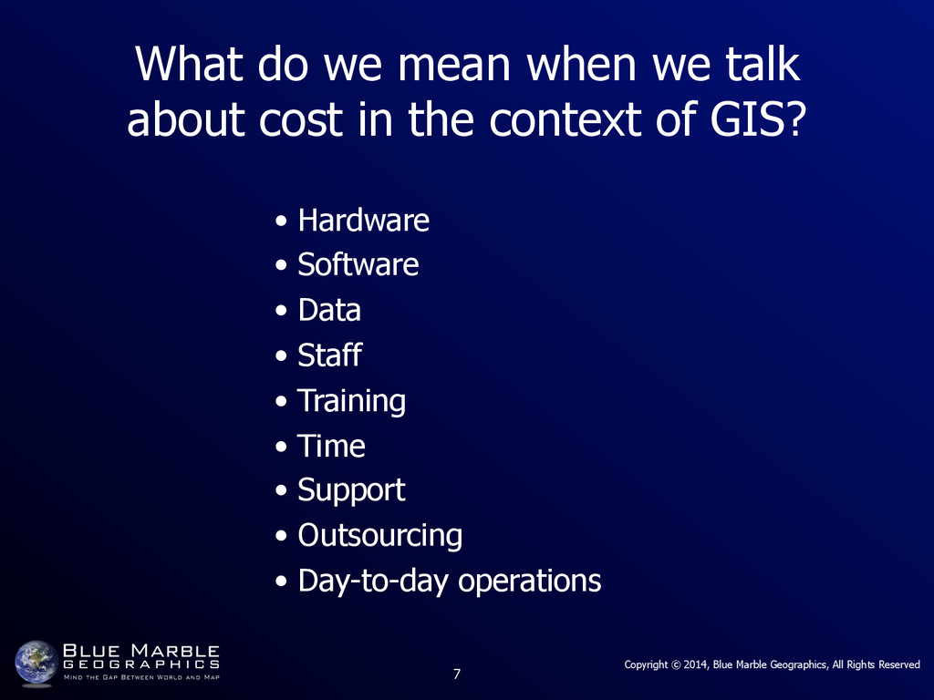
What do we mean when we talk about cost in the context of GIS? • Hardware • Software • Data • Staff • Training • Time • Support • Outsourcing • Day-to-day operations
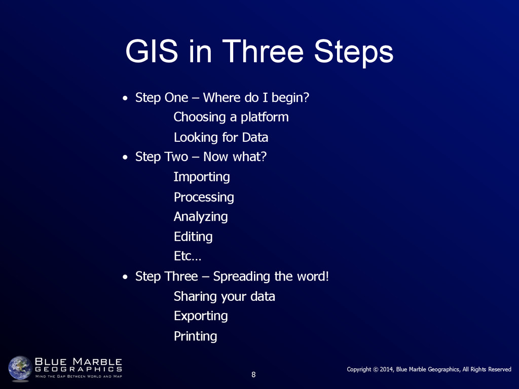
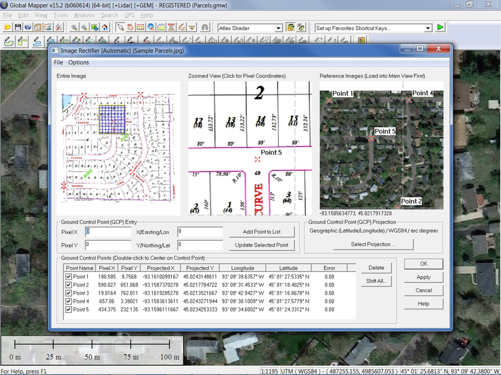
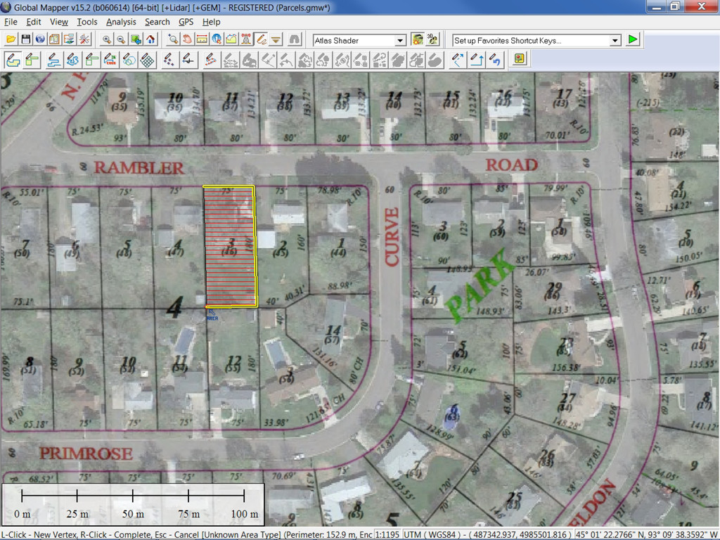
GIS in Three Steps • Step One – Where do I begin? Choosing a platform Looking for Data • Step Two – Now what? Importing Processing Analyzing Editing Etc… • Step Three – Spreading the word! Sharing your data Exporting Printing