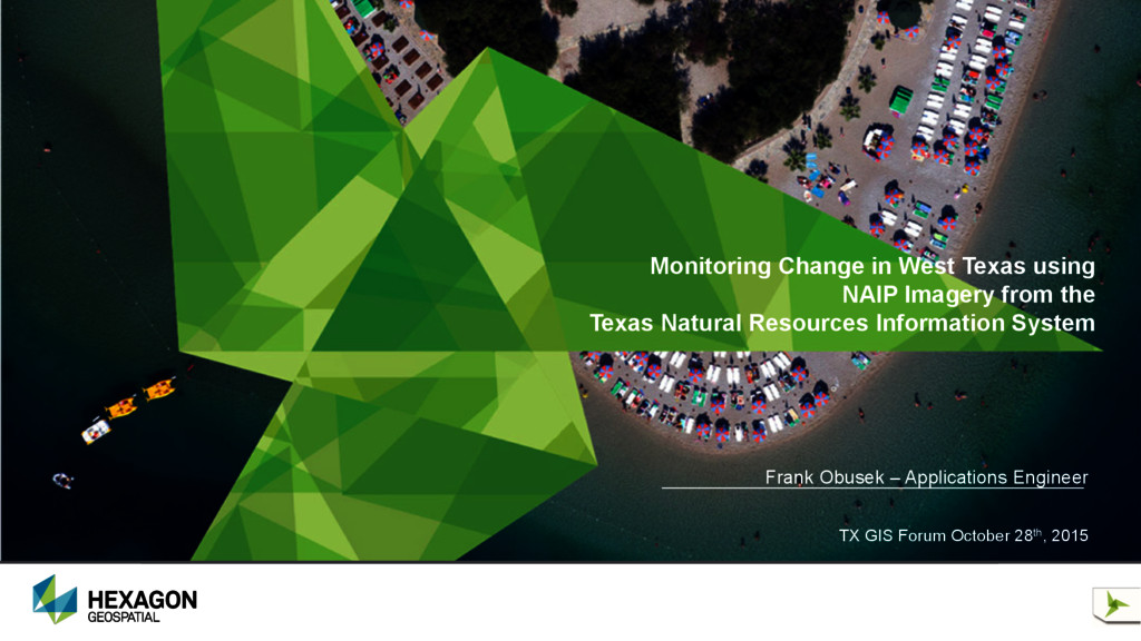
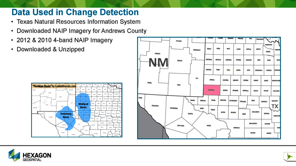
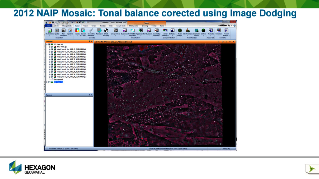
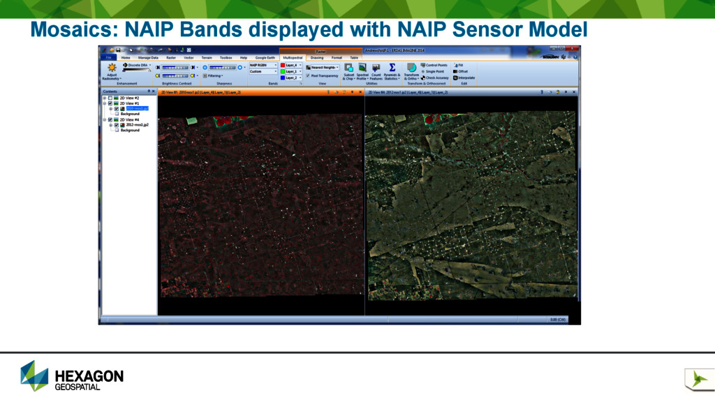
NAIP Imagery from the Texas Natural Resources Information System • In the world of oil and gas exploration the land surface is subjected to change with the addition of new roads and drilling rigs that dot the landscape. The rapid change can negatively affect the environment and ground water resources as well as have an impact on land and mineral ownership issues. Updating a GIS database to reflect the latest changes in an area of resource exploration can be challenging using manual methods. • Remote sensing using multiple dates of NAIP imagery from the Texas Natural Resources Information System allows for accurate change detection to help monitor the new additions of roads and drilling sites. This presentation describes a workflow used to prepare image data, detect new change, and output update features as a vector data set. By monitoring change in this way, GIS databases can be kept up to date in areas where there is rapid change.
is one of the most relevant applications of geospatial technology • Millions of dollars are invested in geospatial content but those data are often not utilized to their full potential • Millions of dollars are invested in geospatial technology that can be used to perform change detection
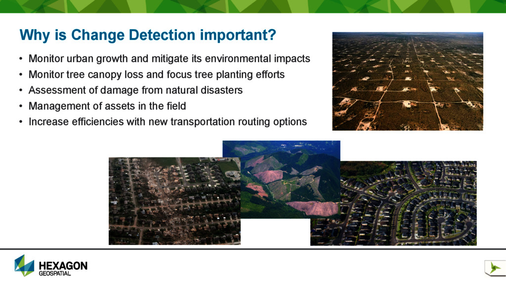
growth and mitigate its environmental impacts • Monitor tree canopy loss and focus tree planting efforts • Assessment of damage from natural disasters • Management of assets in the field • Increase efficiencies with new transportation routing options
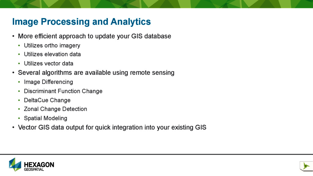
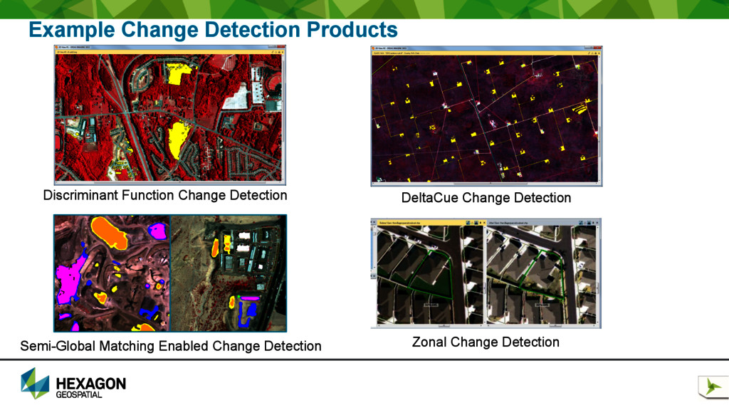
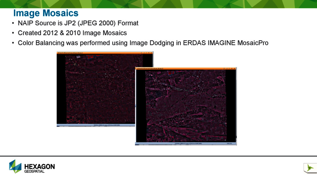
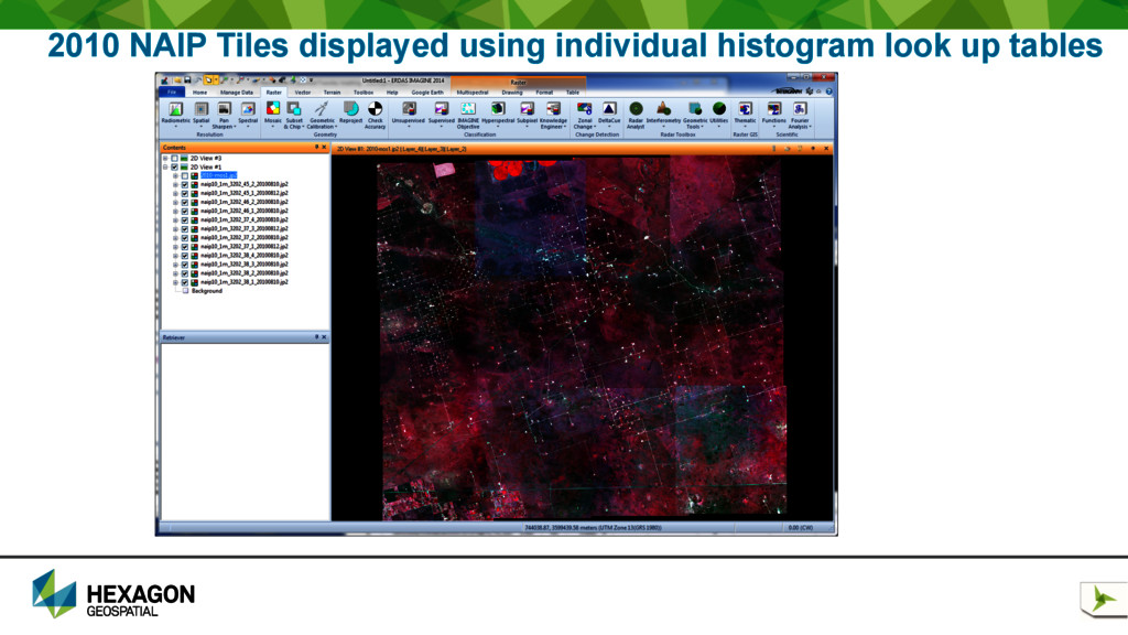
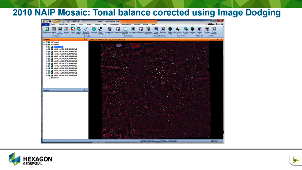
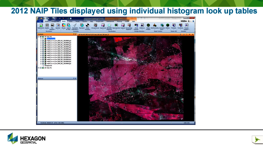
to update your GIS database • Utilizes ortho imagery • Utilizes elevation data • Utilizes vector data • Several algorithms are available using remote sensing • Image Differencing • Discriminant Function Change • DeltaCue Change • Zonal Change Detection • Spatial Modeling • Vector GIS data output for quick integration into your existing GIS
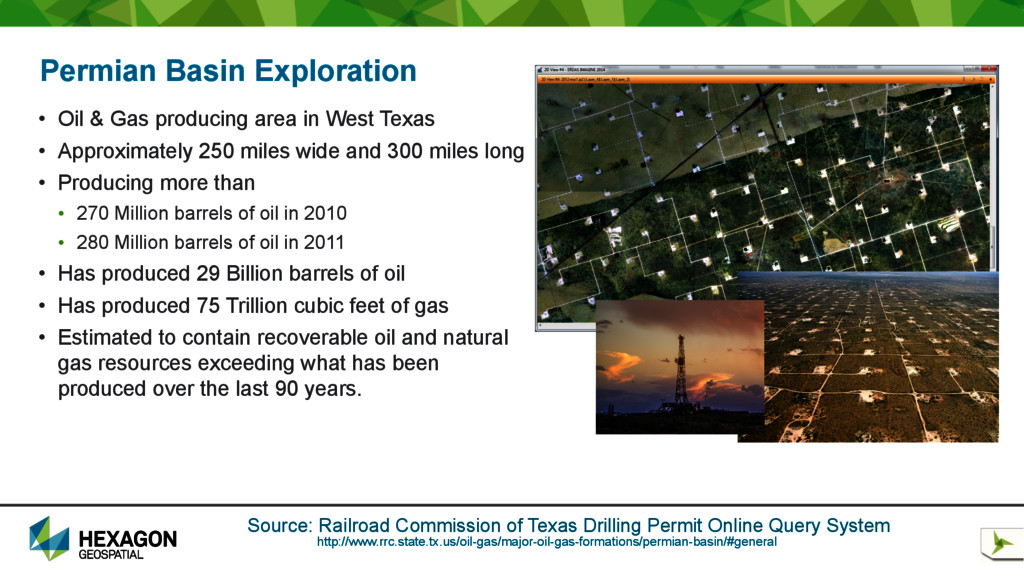
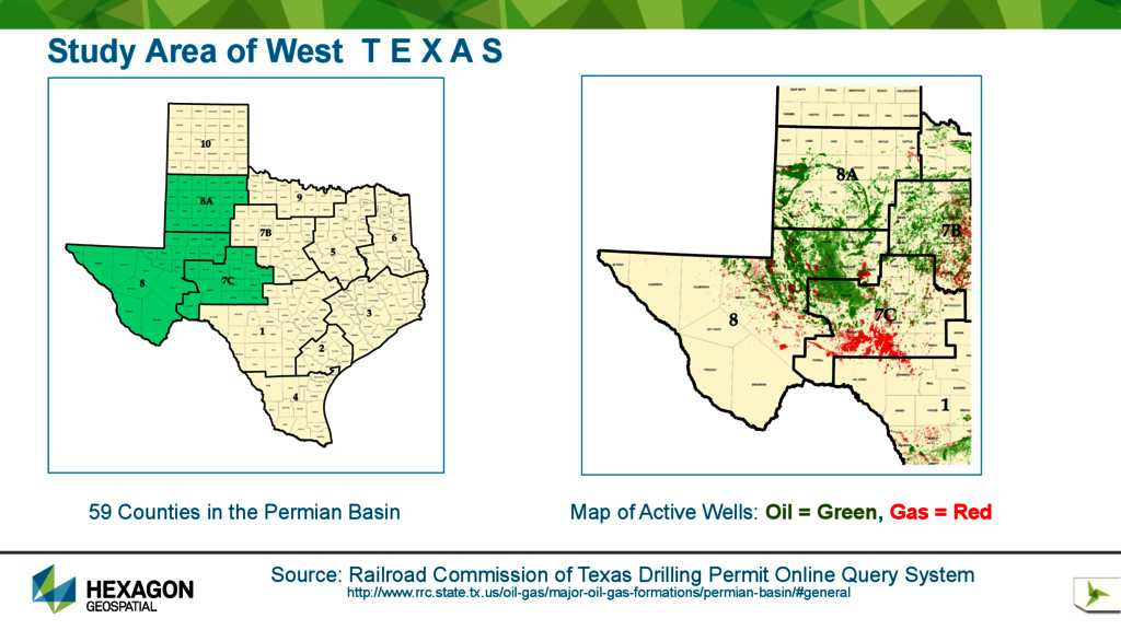
area in West Texas • Approximately 250 miles wide and 300 miles long • Producing more than • 270 Million barrels of oil in 2010 • 280 Million barrels of oil in 2011 • Has produced 29 Billion barrels of oil • Has produced 75 Trillion cubic feet of gas • Estimated to contain recoverable oil and natural gas resources exceeding what has been produced over the last 90 years. http://www.rrc.state.tx.us/oil-gas/major-oil-gas-formations/permian-basin/#general Source: Railroad Commission of Texas Drilling Permit Online Query System
S 59 Counties in the Permian Basin Map of Active Wells: Oil = Green, Gas = Red http://www.rrc.state.tx.us/oil-gas/major-oil-gas-formations/permian-basin/#general Source: Railroad Commission of Texas Drilling Permit Online Query System
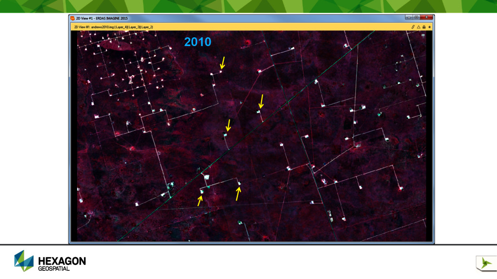
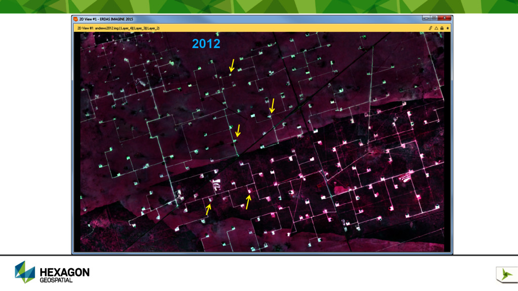
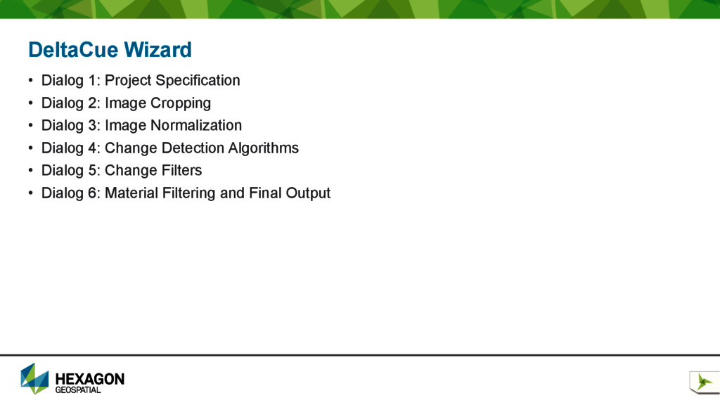
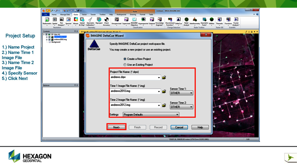
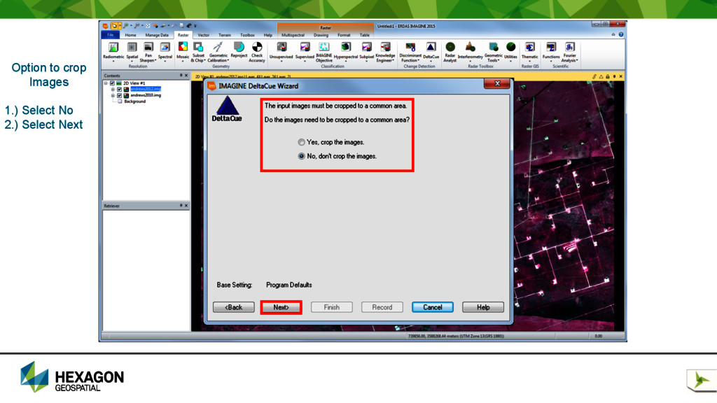
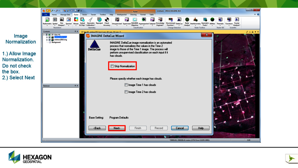
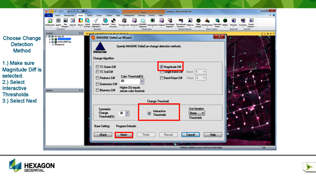
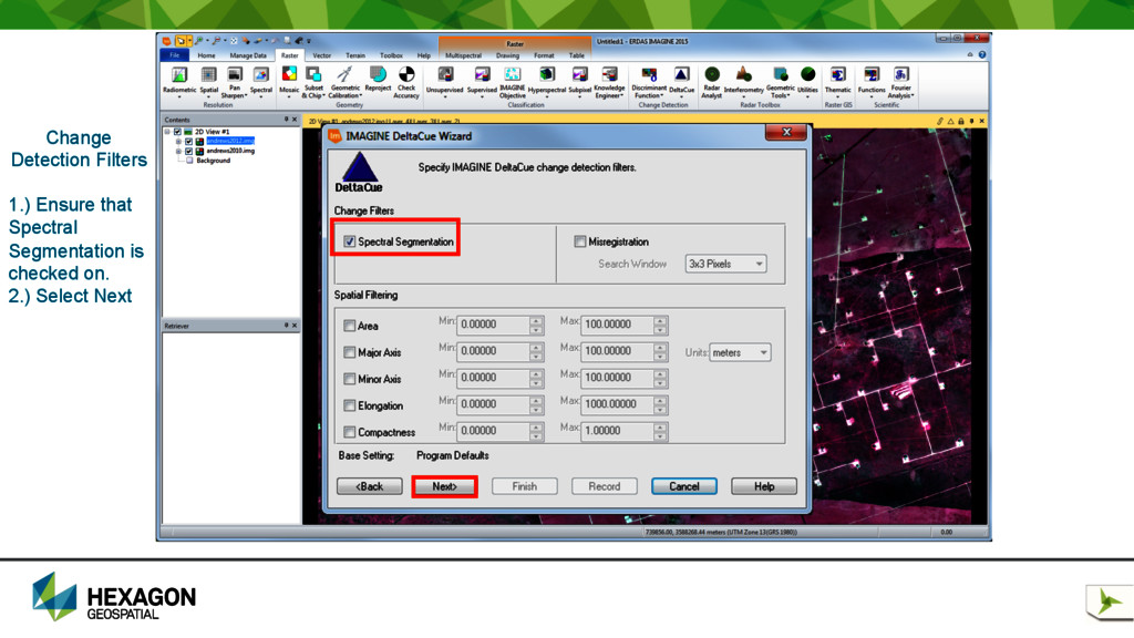
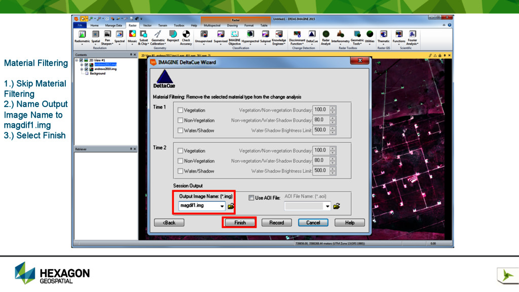
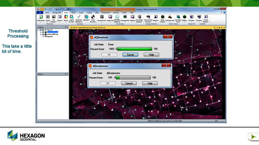
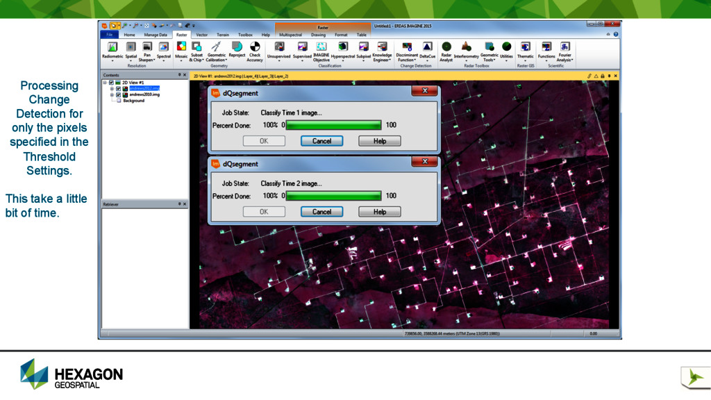
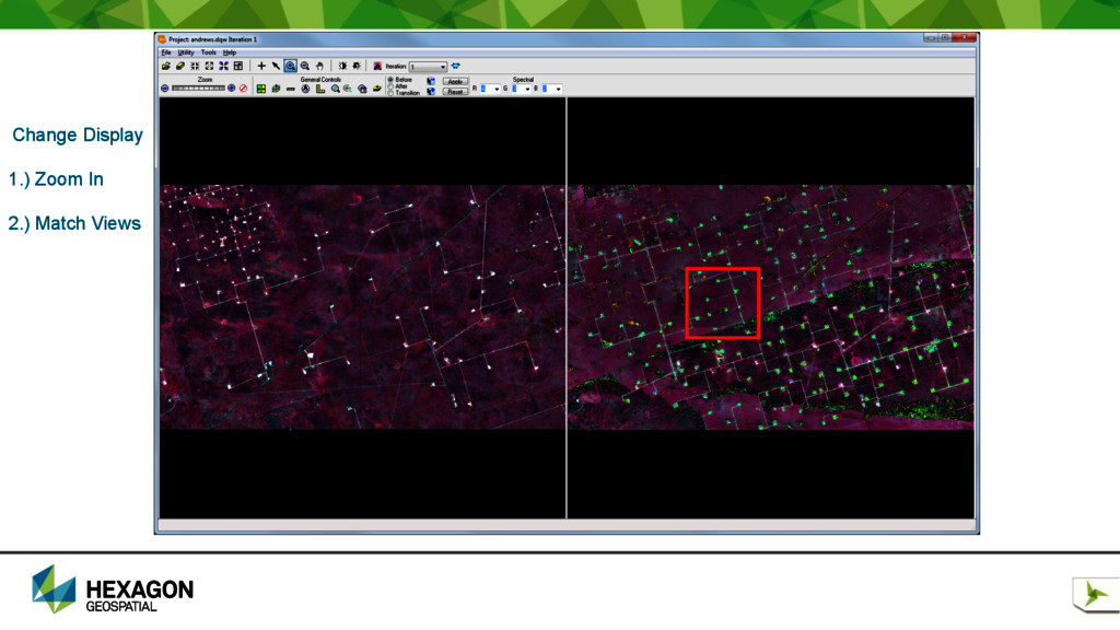
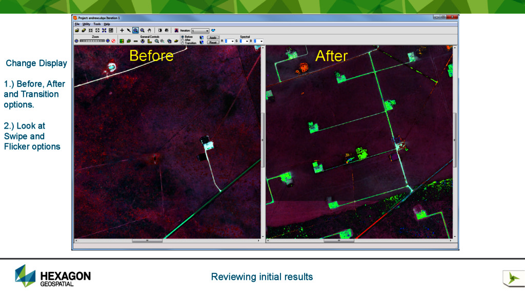
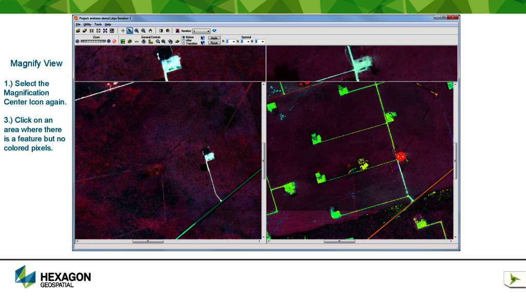
interest in remotely sensed imagery acquired on two different dates. • DeltaCue can distinguish significant change from insignificant change and then helps you identify changes that are of specific interest to your application. • The DeltaCue Wizard is the primary method to produce an initial set of change detection results in broad area search mode. • The Wizard steps you through a sequence of dialogs that capture all of the necessary inputs to run the DeltaCue process. The software creates a project settings file and a workspace directory to hold intermediate files. • When the wizard process completes, the Change Display Viewer launches automatically so that you can view and analyze the change detection results. • You can run new processing iterations from within the Change Display Viewer to identify different varieties of change in the imagery.
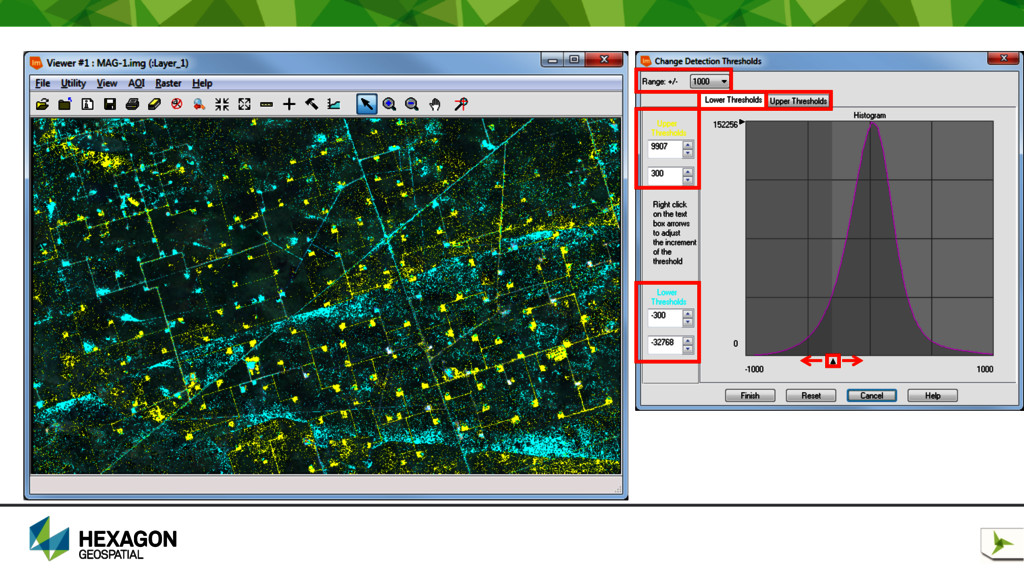
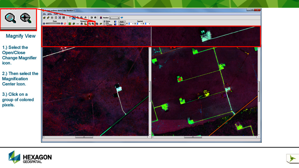
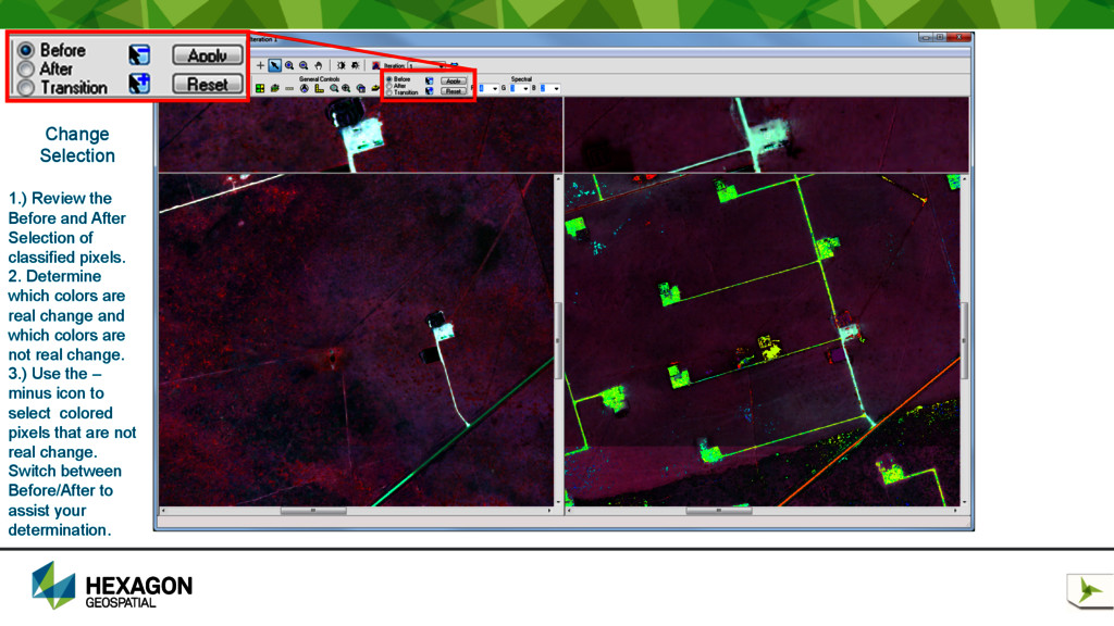
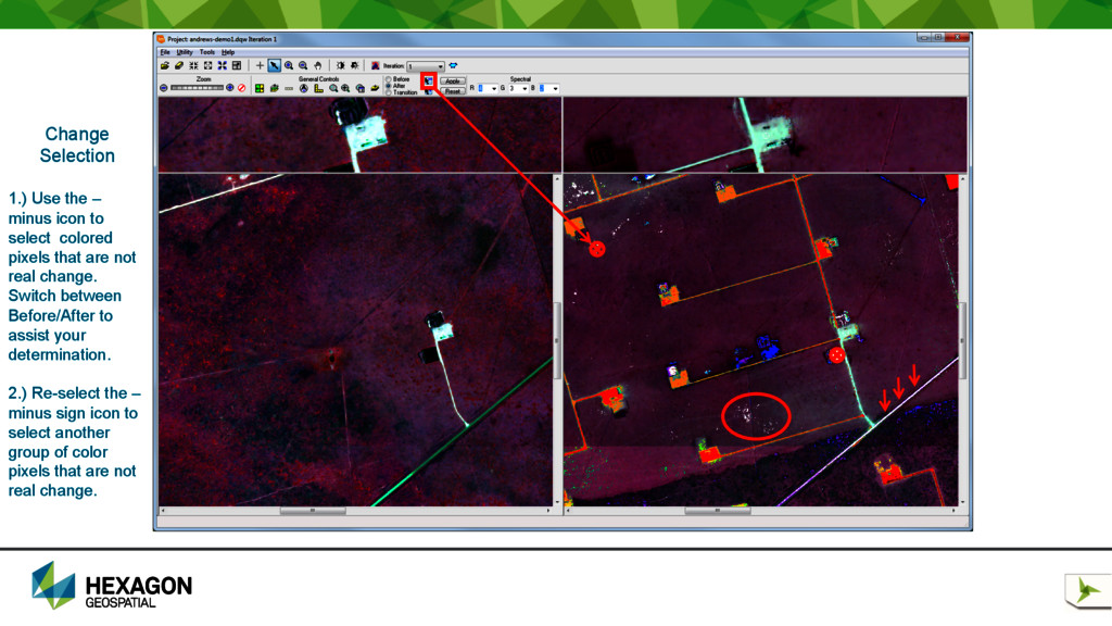
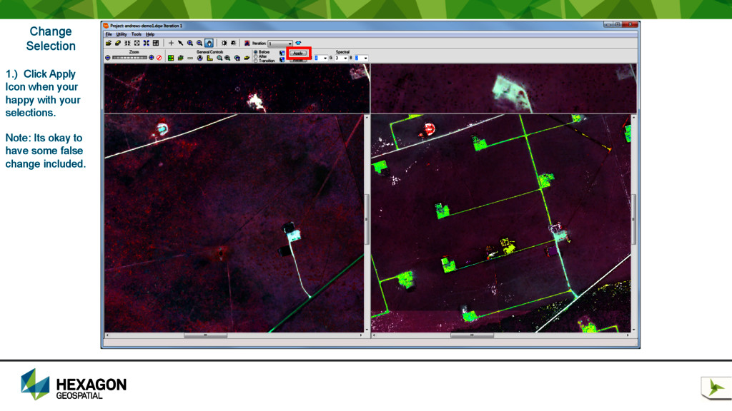
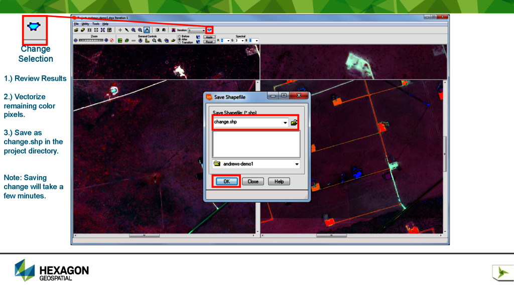
Selection of classified pixels. 2. Determine which colors are real change and which colors are not real change. 3.) Use the – minus icon to select colored pixels that are not real change. Switch between Before/After to assist your determination.
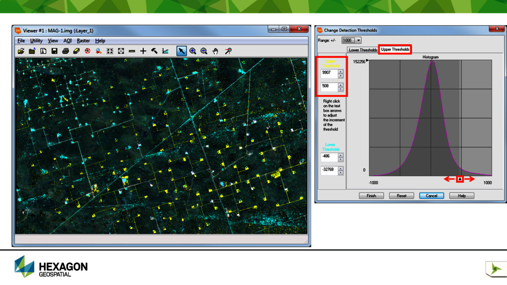
to select colored pixels that are not real change. Switch between Before/After to assist your determination. 2.) Re-select the – minus sign icon to select another group of color pixels that are not real change.
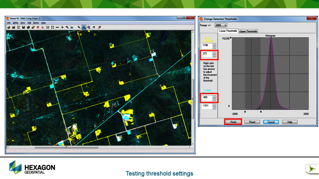
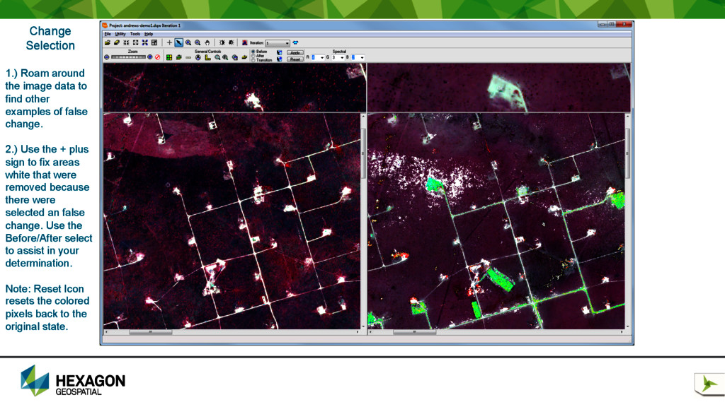
to find other examples of false change. 2.) Use the + plus sign to fix areas white that were removed because there were selected an false change. Use the Before/After select to assist in your determination. Note: Reset Icon resets the colored pixels back to the original state.
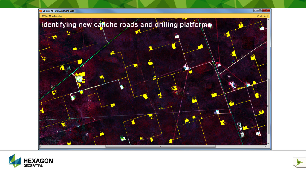
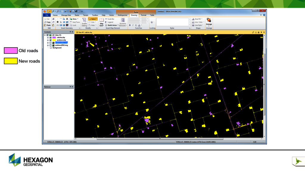
for efficient change detection between images of 2 different dates. • DeltaCue can distinguish significant change from insignificant change • Vector polygon output of the results. • Combine with existing vector layers to update GIS database. • Great for routing equipment • Assess the environmental impact