Time in México: Binational GIS Collaboration S A L L Y H O L L U S G S / D E S E R T L C C D A T A C O O R D I N A T O R M I G U E L P A V Ó N T N R I S / T E X A S B O R D E R L A N D S I N F O R M A T I O N C E N T E R
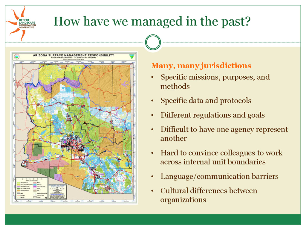
Specific data and protocols • Different regulations and goals • Difficult to have one agency represent another • Hard to convince colleagues to work across internal unit boundaries • Language/communication barriers • Cultural differences between organizations How have we managed in the past?
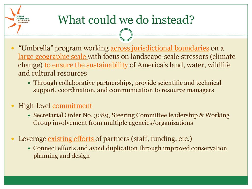
jurisdictional boundaries on a large geographic scale with focus on landscape-scale stressors (climate change) to ensure the sustainability of America's land, water, wildlife and cultural resources ÷ Through collaborative partnerships, provide scientific and technical support, coordination, and communication to resource managers High-level commitment ÷ Secretarial Order No. 3289, Steering Committee leadership & Working Group involvement from multiple agencies/organizations Leverage existing efforts of partners (staff, funding, etc.) ÷ Connect efforts and avoid duplication through improved conservation planning and design
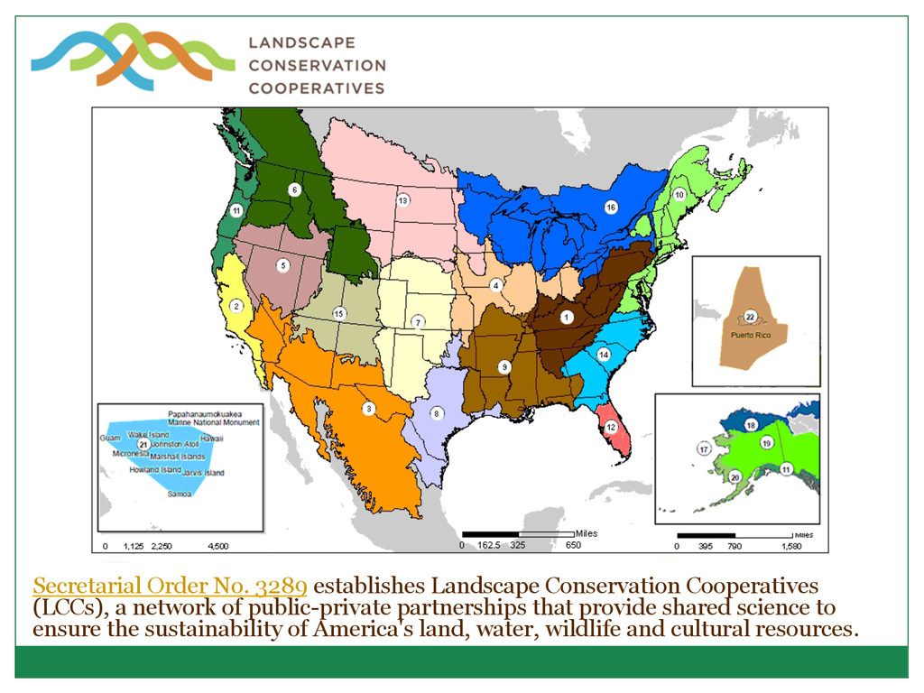
Cooperatives (LCCs), a network of public-private partnerships that provide shared science to ensure the sustainability of America's land, water, wildlife and cultural resources.
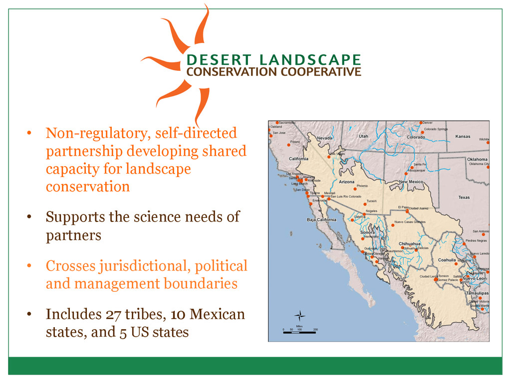
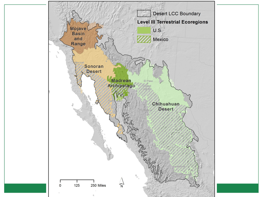
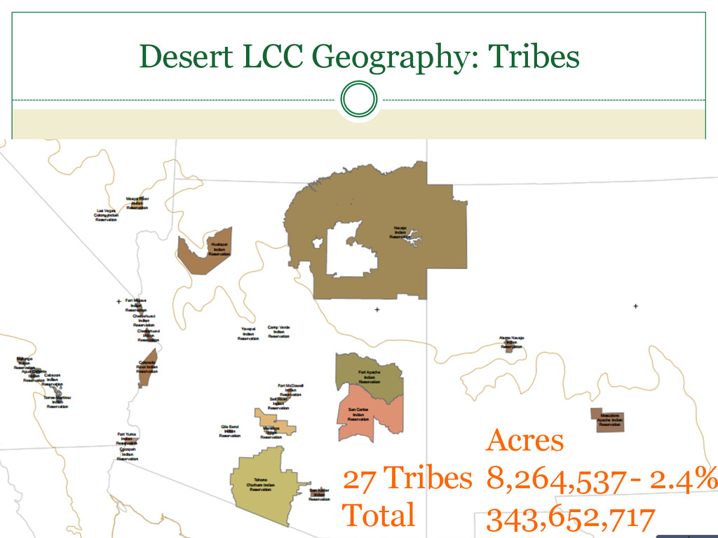
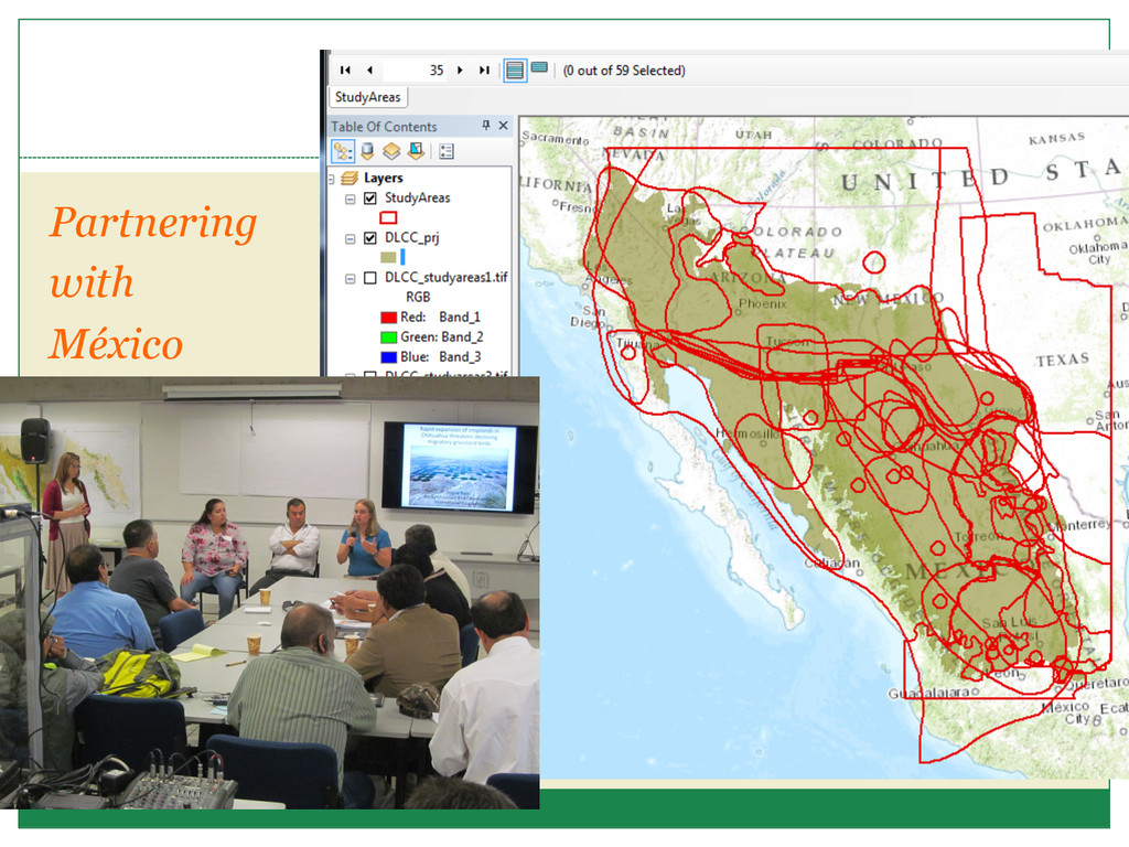
• Supports the science needs of partners • Crosses jurisdictional, political and management boundaries • Includes 27 tribes, 10 Mexican states, and 5 US states
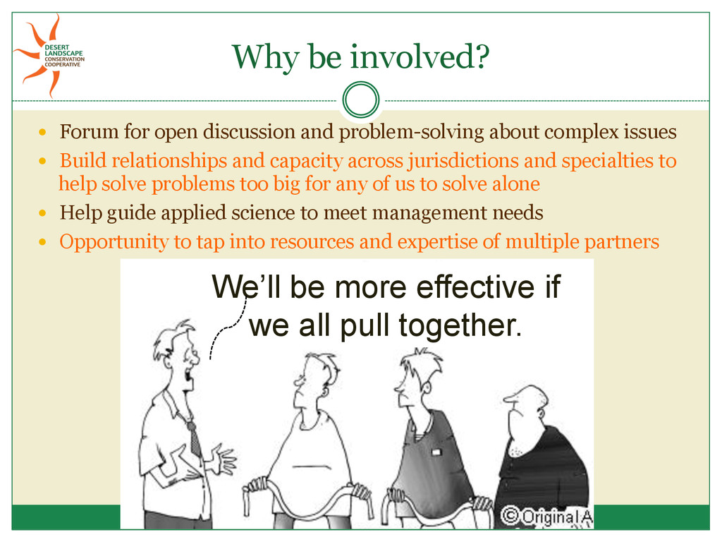
about complex issues Build relationships and capacity across jurisdictions and specialties to help solve problems too big for any of us to solve alone Help guide applied science to meet management needs Opportunity to tap into resources and expertise of multiple partners We’ll be more effective if we all pull together.
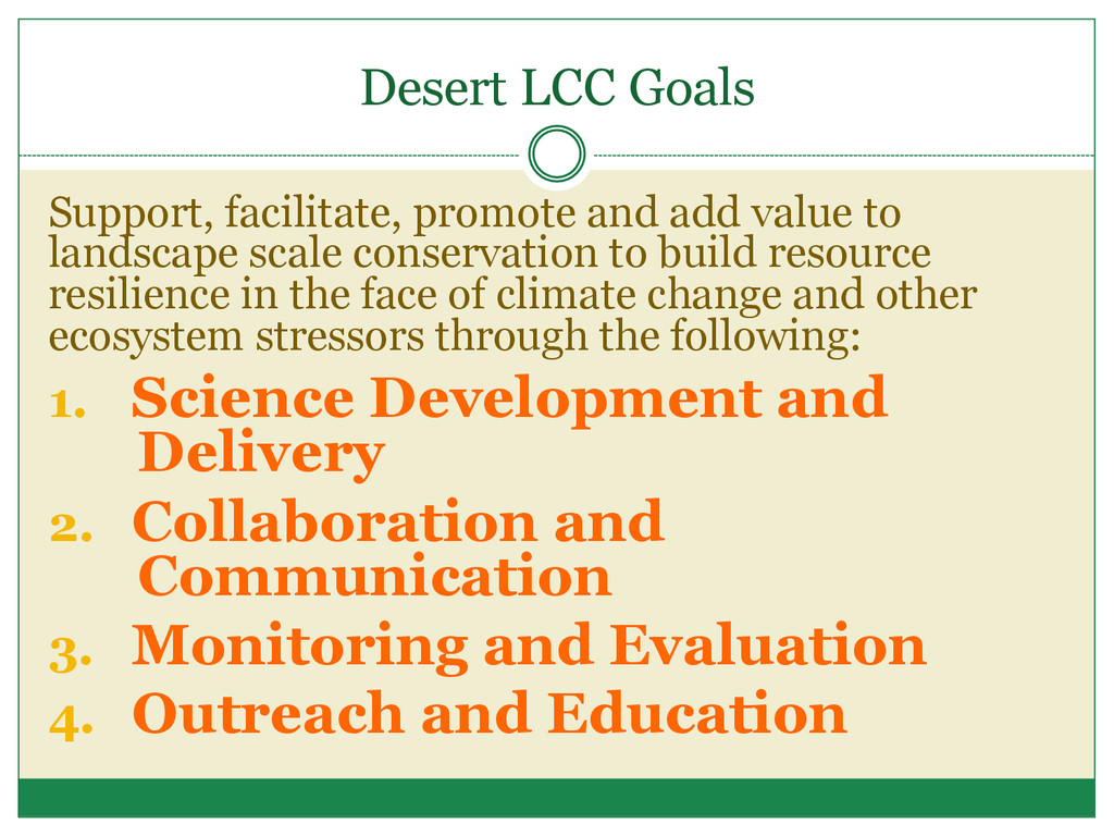
landscape scale conservation to build resource resilience in the face of climate change and other ecosystem stressors through the following: 1. Science Development and Delivery 2. Collaboration and Communication 3. Monitoring and Evaluation 4. Outreach and Education
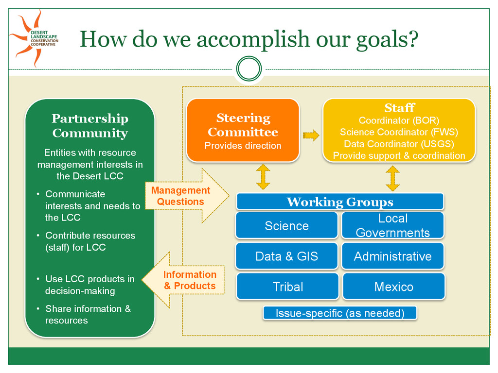
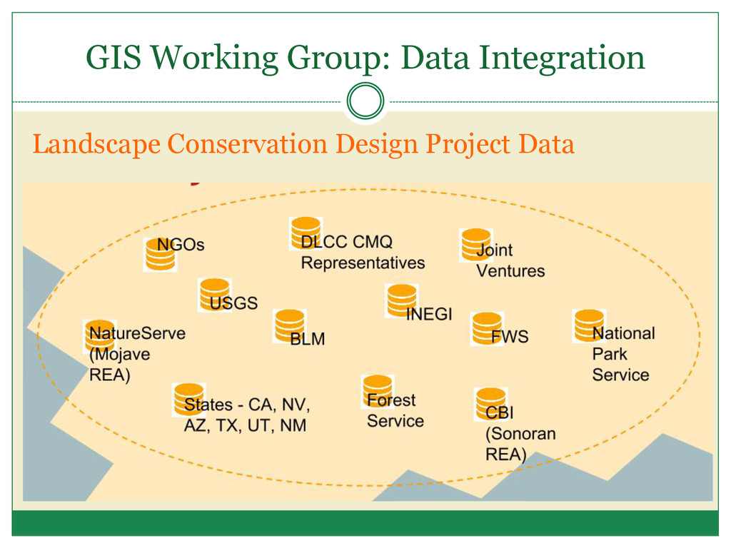
resource management interests in the Desert LCC • Communicate interests and needs to the LCC • Contribute resources (staff) for LCC • Use LCC products in decision-making • Share information & resources Steering Committee Provides direction Staff Coordinator (BOR) Science Coordinator (FWS) Data Coordinator (USGS) Provide support & coordination Science Issue-specific (as needed) Local Governments Tribal Mexico Administrative Data & GIS Working Groups Information & Products Management Questions
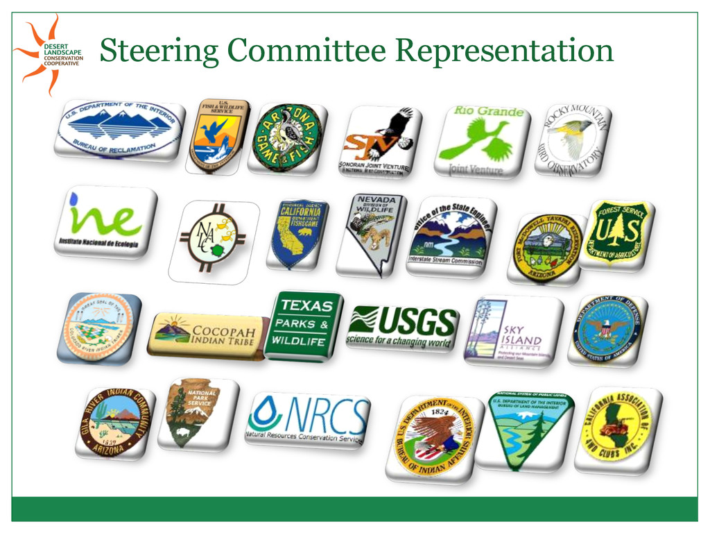
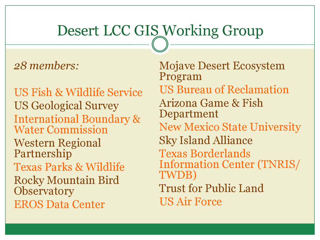
Wildlife Service US Geological Survey International Boundary & Water Commission Western Regional Partnership Texas Parks & Wildlife Rocky Mountain Bird Observatory EROS Data Center Mojave Desert Ecosystem Program US Bureau of Reclamation Arizona Game & Fish Department New Mexico State University Sky Island Alliance Texas Borderlands Information Center (TNRIS/ TWDB) Trust for Public Land US Air Force
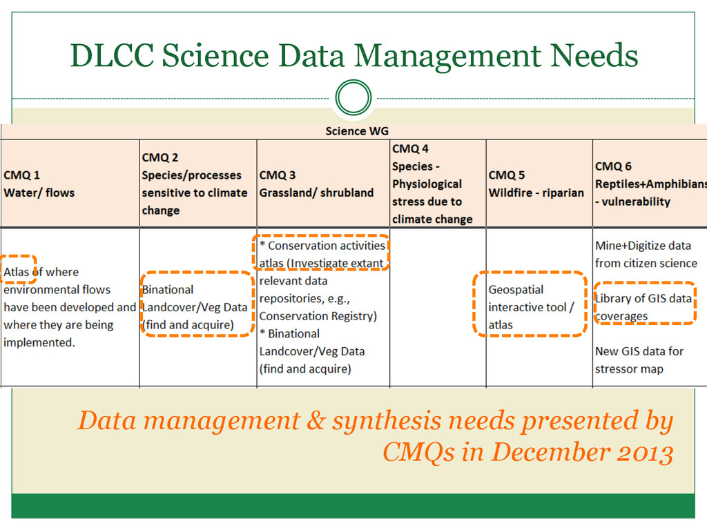
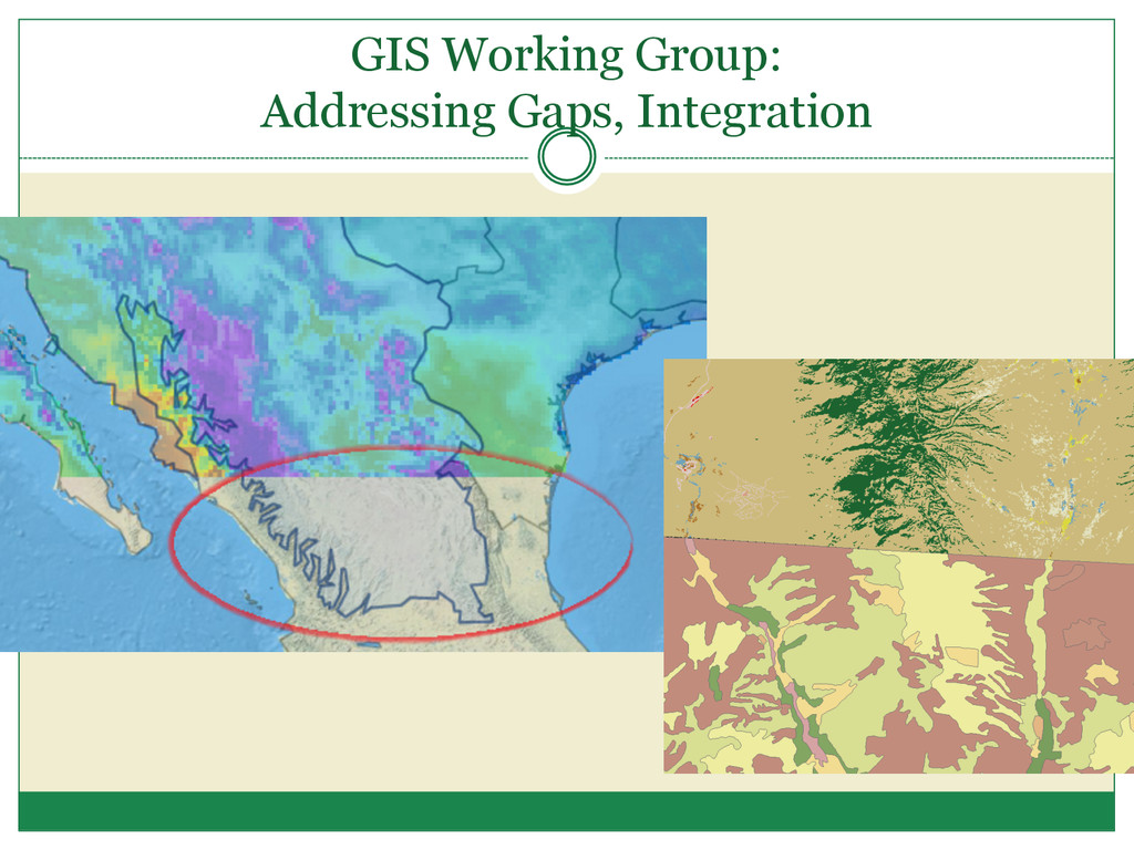
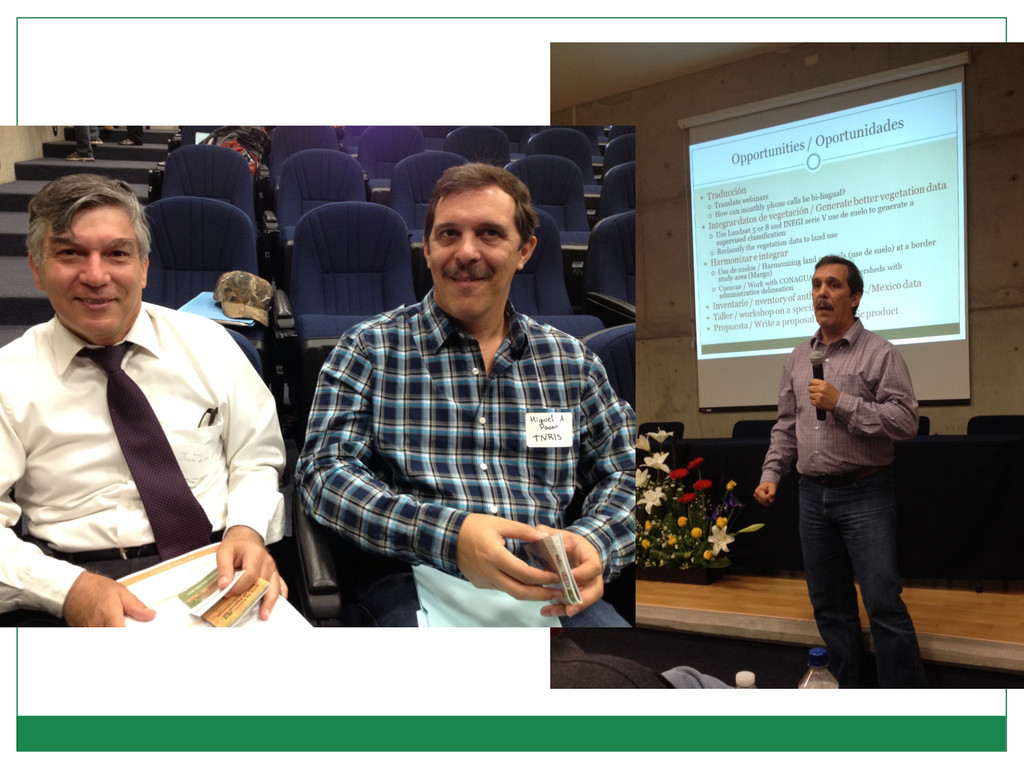
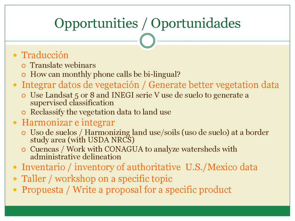
can monthly phone calls be bi-lingual? Integrar datos de vegetación / Generate better vegetation data ¡ Use Landsat 5 or 8 and INEGI serie V use de suelo to generate a supervised classification ¡ Reclassify the vegetation data to land use Harmonizar e integrar ¡ Uso de suelos / Harmonizing land use/soils (uso de suelo) at a border study area (with USDA NRCS) ¡ Cuencas / Work with CONAGUA to analyze watersheds with administrative delineation Inventario / inventory of authoritative U.S./Mexico data Taller / workshop on a specific topic Propuesta / Write a proposal for a specific product
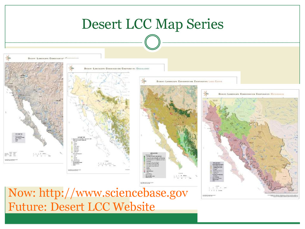
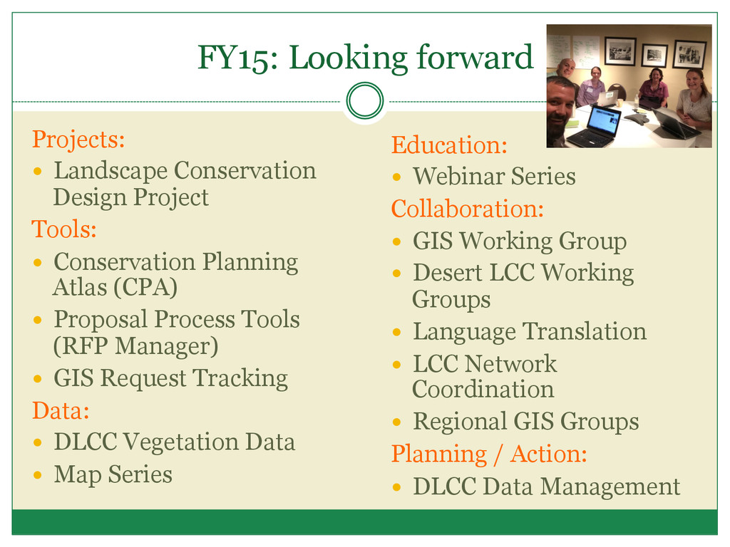
Conservation Planning Atlas (CPA) Proposal Process Tools (RFP Manager) GIS Request Tracking Data: DLCC Vegetation Data Map Series Education: Webinar Series Collaboration: GIS Working Group Desert LCC Working Groups Language Translation LCC Network Coordination Regional GIS Groups Planning / Action: DLCC Data Management
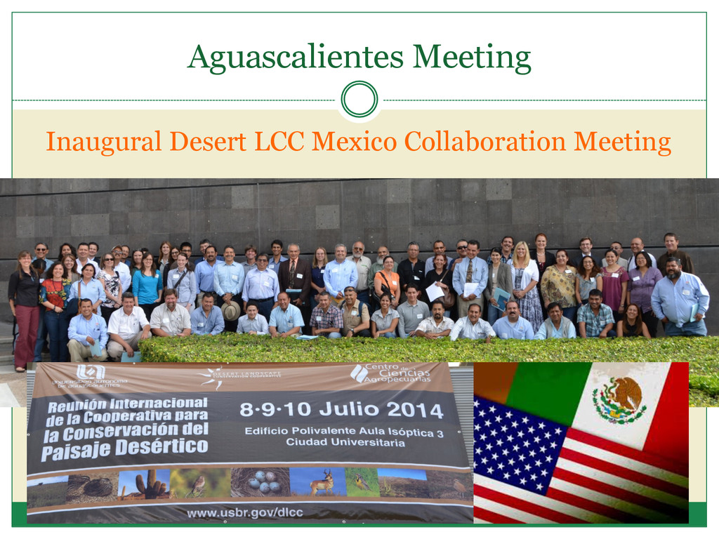
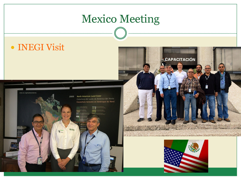
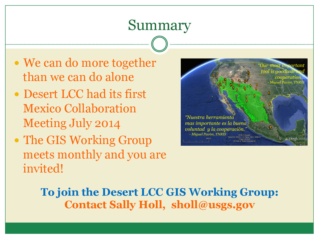
do alone Desert LCC had its first Mexico Collaboration Meeting July 2014 The GIS Working Group meets monthly and you are invited! To join the Desert LCC GIS Working Group: Contact Sally Holl, [email protected]
![Gracias Sally Holl, GIS & Data Coordinator, [email protected]](https://files.speakerdeck.com/presentations/ae3bb3b04cda013267000a9237a940cf/slide_32.jpg)