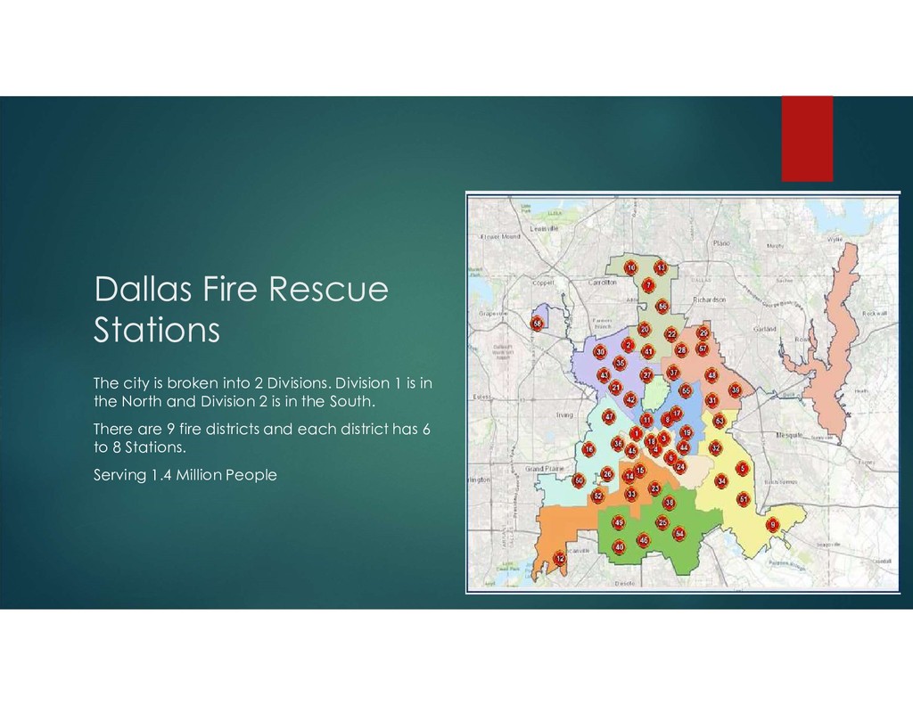
Divisions. Division 1 is in the North and Division 2 is in the South. There are 9 fire districts and each district has 6 to 8 Stations. Serving 1.4 Million People
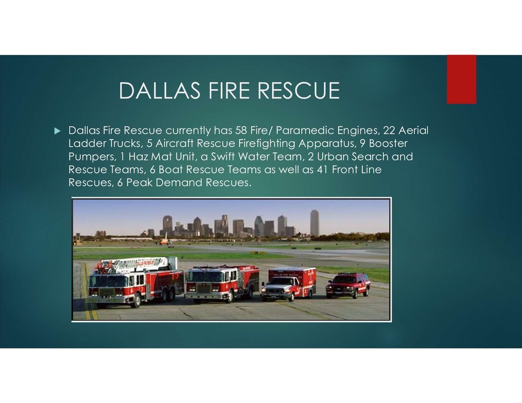
Fire/ Paramedic Engines, 22 Aerial Ladder Trucks, 5 Aircraft Rescue Firefighting Apparatus, 9 Booster Pumpers, 1 Haz Mat Unit, a Swift Water Team, 2 Urban Search and Rescue Teams, 6 Boat Rescue Teams as well as 41 Front Line Rescues, 6 Peak Demand Rescues.
Strategies for Fire Loss Prevention, “Community Risk Reduction (CRR) is the identification and prioritization of risks followed by the coordinated application of resources to minimize the probability or occurrence and/or the impact of unfortunate events.
measured by Fire Prevention Efforts Emergency Medical Services (EMS) Education Response Times Unit Availability Customer Service Quality of Service Pre Incident Planning Safety- Internal and External Customers
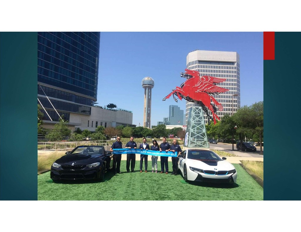
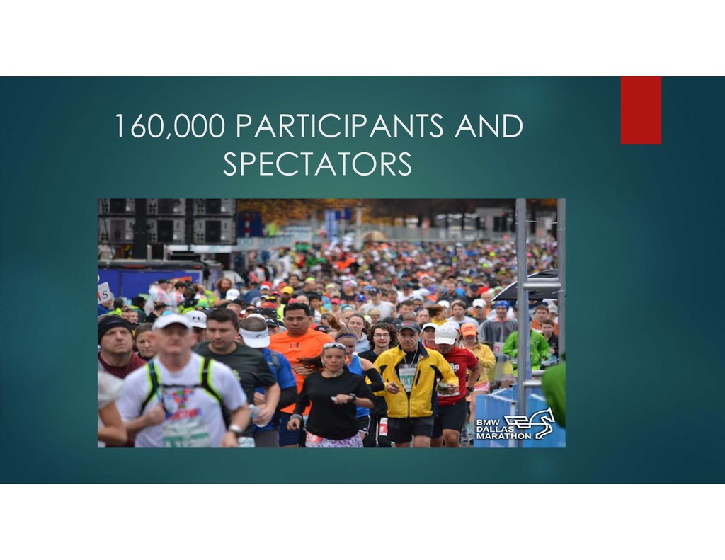
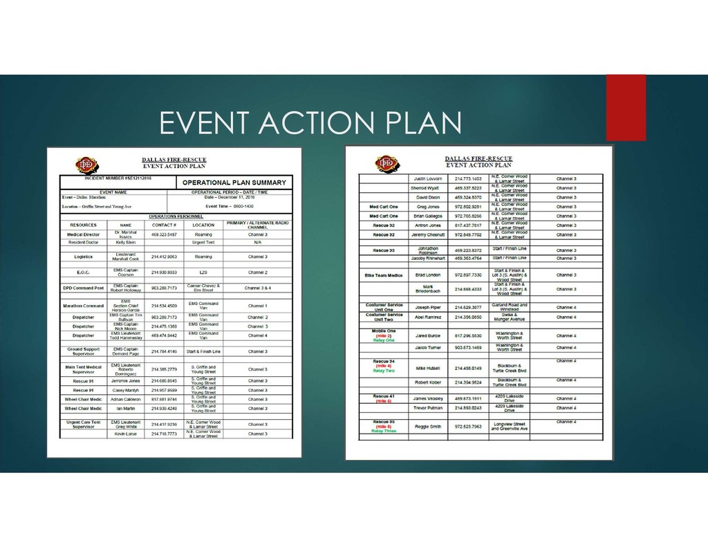
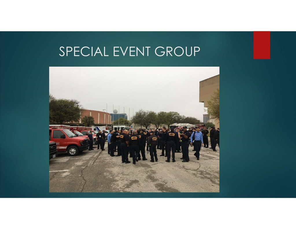
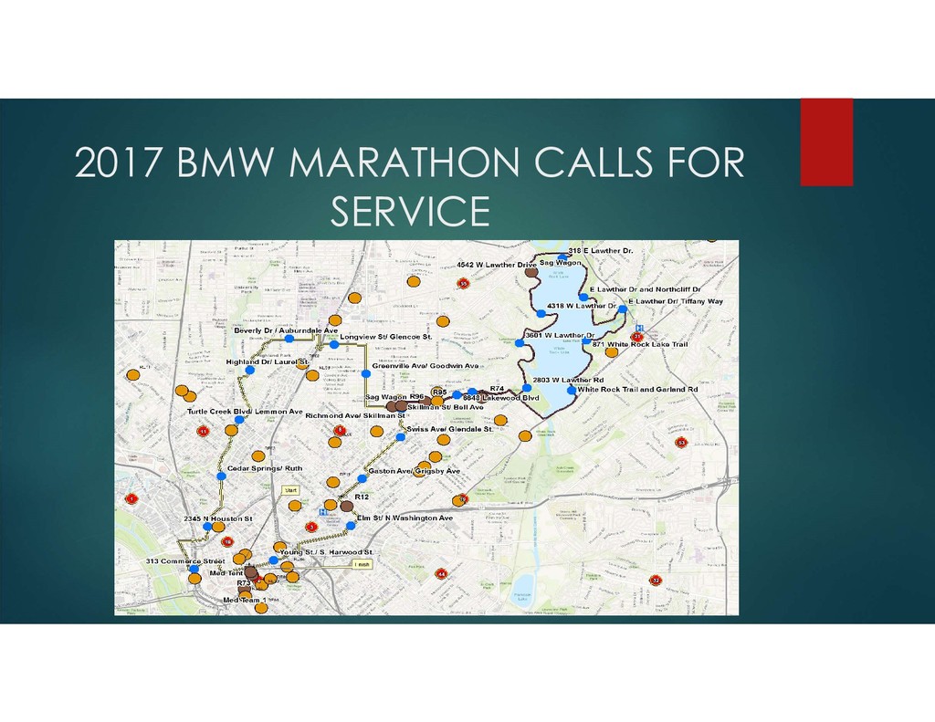
communities have some form of a Special Event. Pre Incident Planning for Special Events. 2 or More Areas of a City will be affected. A Special Event is treated as a community along with the area that the event is being held. Many if not all participants and spectators do not live in the area. During the event the City that is hosting the event still needs Fire and EMS Services provided.
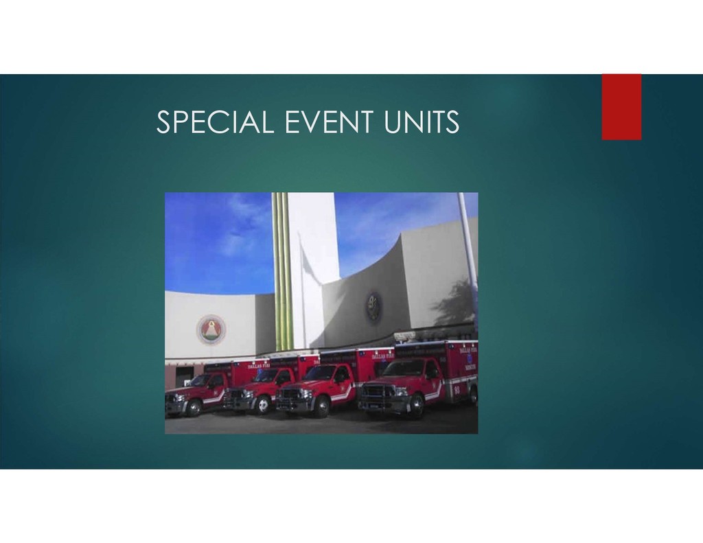
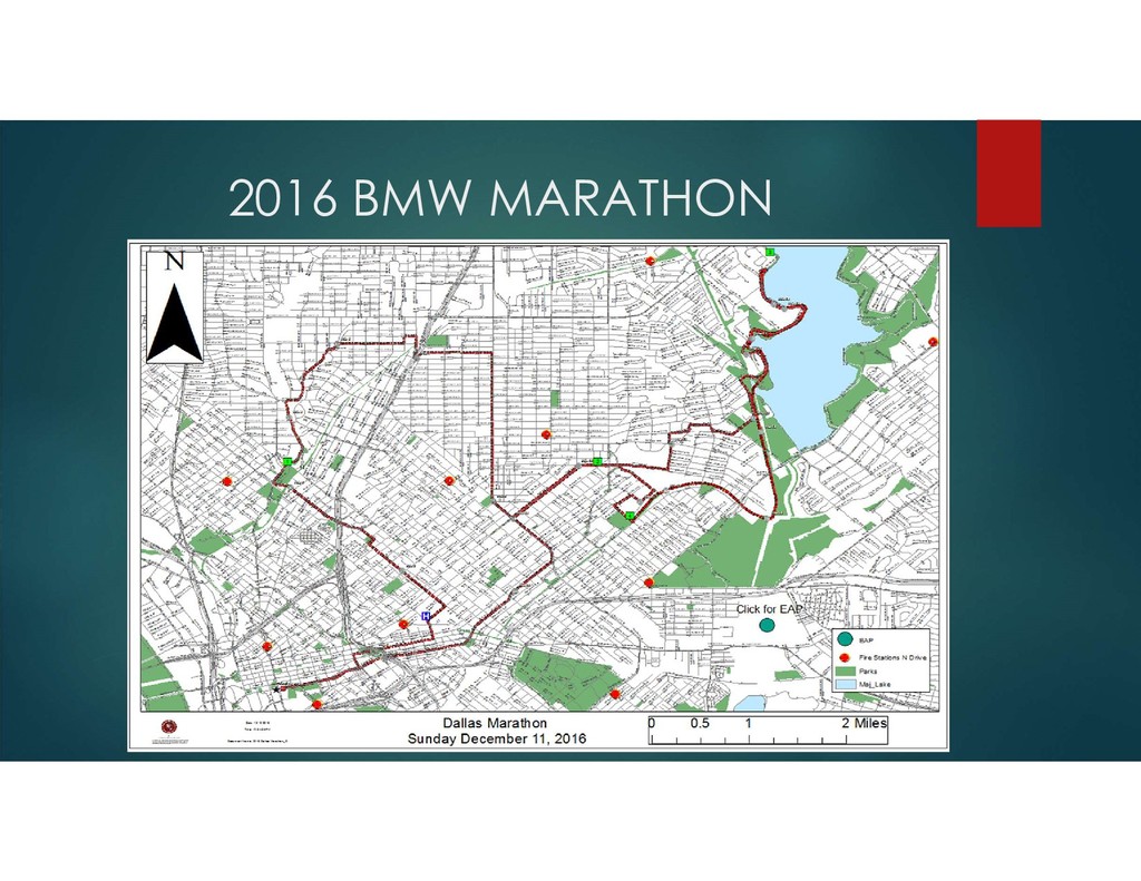
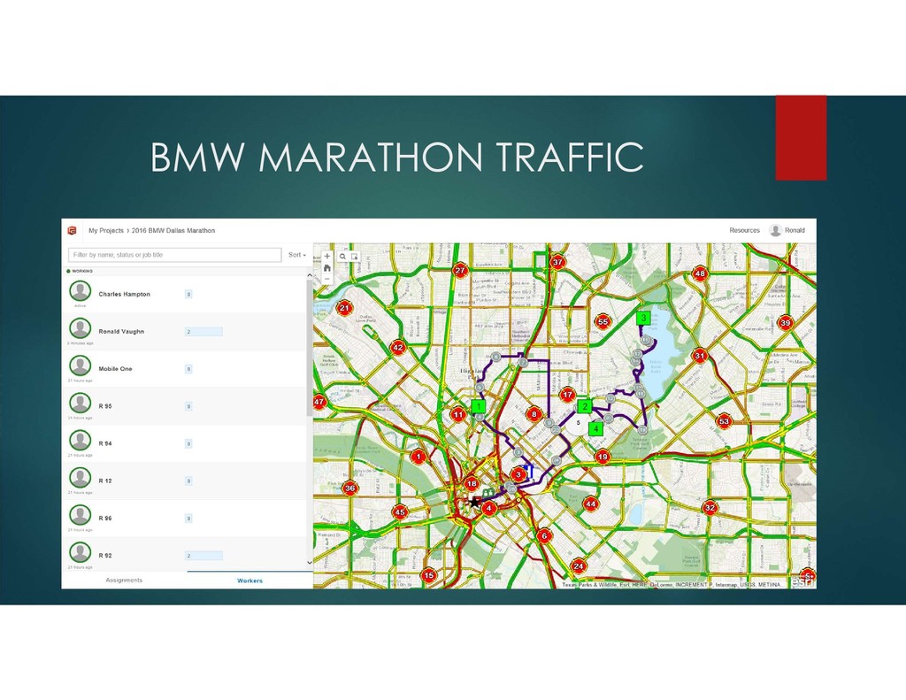
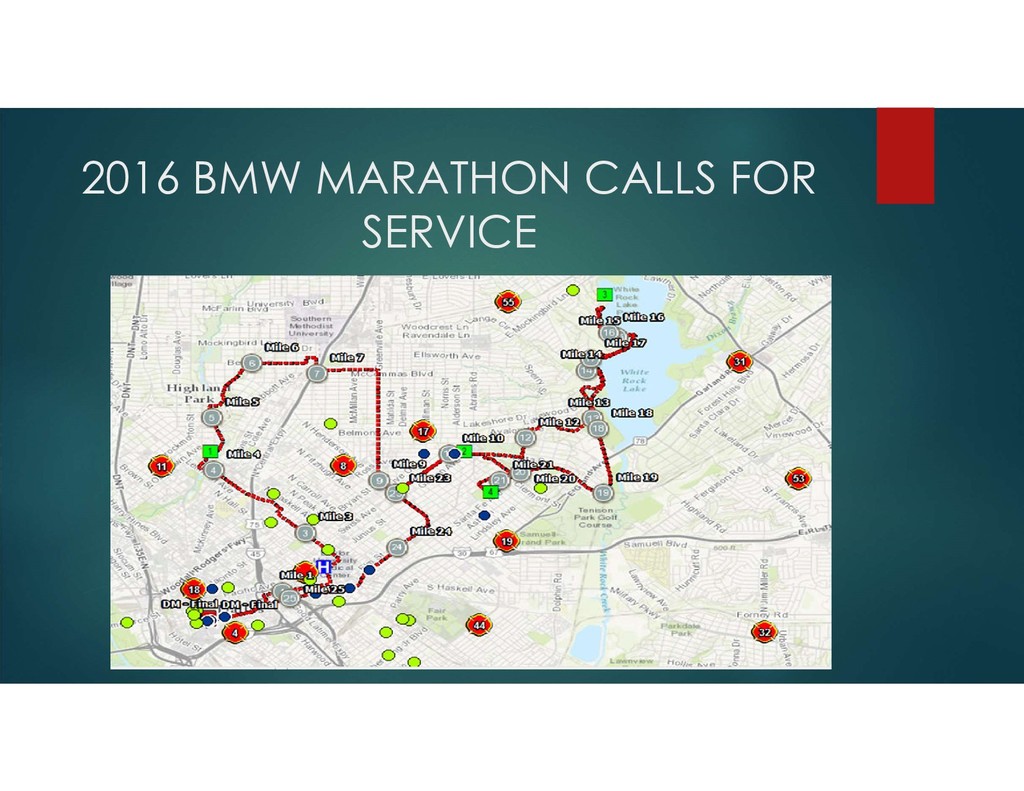
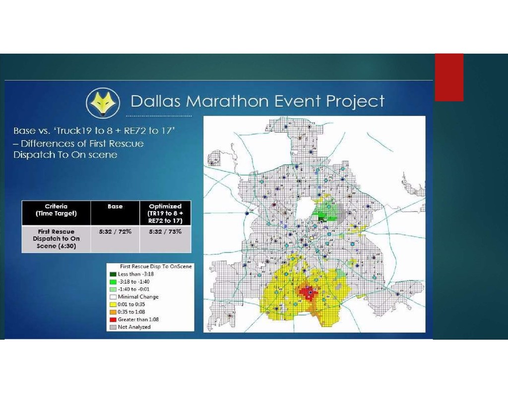
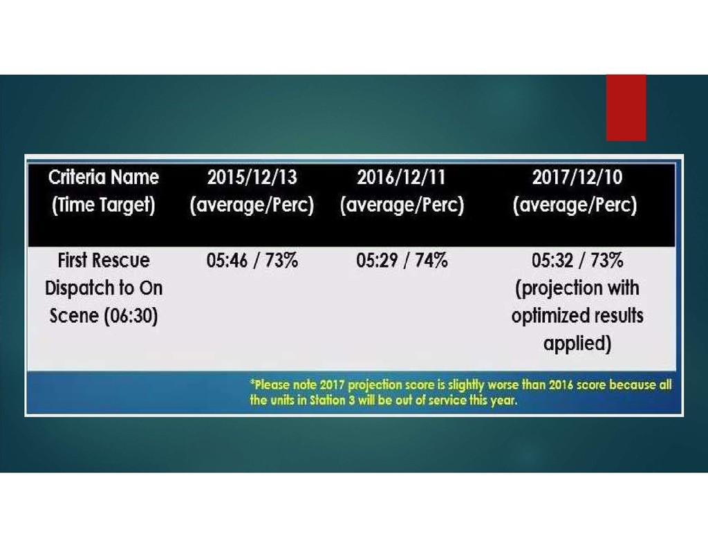
help us make better decisions: Pre Incident Planning. Helping to plan for resources needed during the event. Looking at response times for optimum coverage and protection. Collecting historical data of calls made from the event. Looking at historical data of the time of day of the event and how the rest of the city was protected.
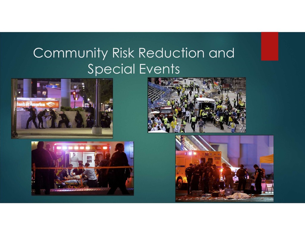
https://strategicfire.org/ Eight hours of terror How a peaceful protest turned into the Dallas police’s deadliest day By Avi Selk, Hannah Wise, Conor Shine | Staff Writers Published July 8, 2016 http://interactives.dallasnews.com/2016/dallas-police-ambush-timeline/ Key moments in the 2013 Boston Marathon bombing Tuesday July 17, 2018 http://www.chicagotribune.com/sports/breaking/ct-boston- marathon-bombing-key-moments-20180413-story.html Las Vegas shooting: Isis claims responsibility for deadliest gun massacre in modern US history Monday October 2, 2017 https://www.independent.co.uk/news/world/americas/las-vegas-isis- shooting-claims-stephen-paddock-responsibility-latest-a7978941.html GIS for the Fire Service An ESRI White Paper June 2012 http://www.esri.com/library/whitepapers/pdfs/gis-for-fire-service.pdf