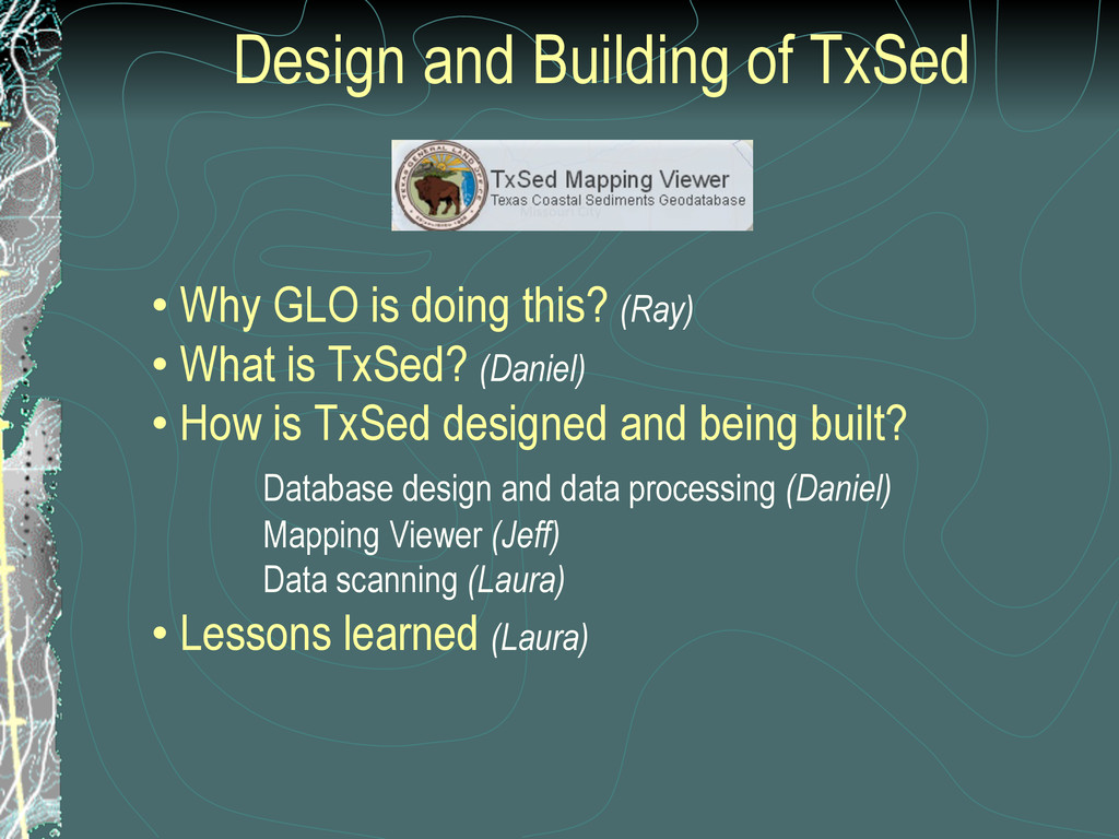
this? (Ray) • What is TxSed? (Daniel) • How is TxSed designed and being built? Database design and data processing (Daniel) Mapping Viewer (Jeff) Data scanning (Laura) • Lessons learned (Laura)
Submerged Land out to 10 Miles • Lead Agency for Texas Coastal Management Program • Administrating Agency for Texas Open Beaches Act • Adopt-a-Beach Program for Beach Cleaning • Coastal Oil Spill Program • Coastal Erosion Planning and Response Act (CEPRA)
passed CEPRA in 1999 • Currently in 7th 2-year funding cycle • Cycle 7 extends through 8-31-2013 • Goal is to protect the natural resources and economic future of the Texas Gulf Coast • Partnerships with local, state, and federal entities to leverage resources
sand / silt / clay content of sediment bodies • Assess compatibility of imported sediment • Evaluate existing and past geomorphic conditions • Determine engineering qualities of foundation conditions • Map the distribution of geologic features
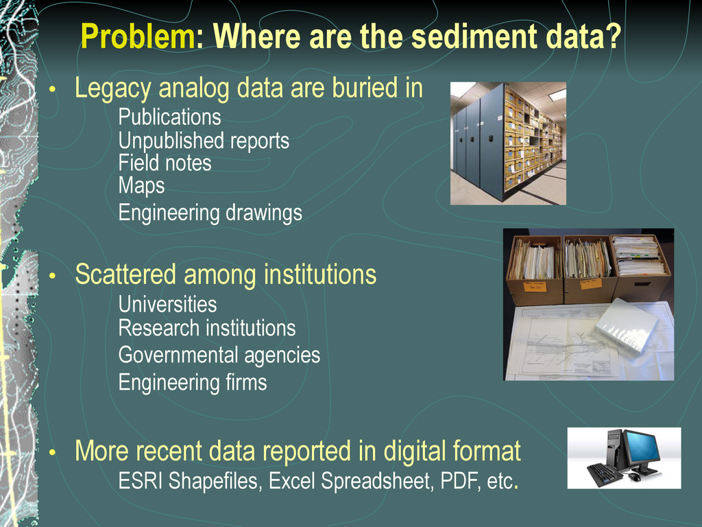
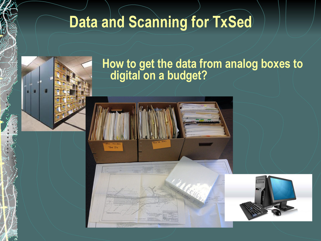
are buried in Publications Unpublished reports Field notes Maps Engineering drawings • Scattered among institutions Universities Research institutions Governmental agencies Engineering firms • More recent data reported in digital format ESRI Shapefiles, Excel Spreadsheet, PDF, etc.
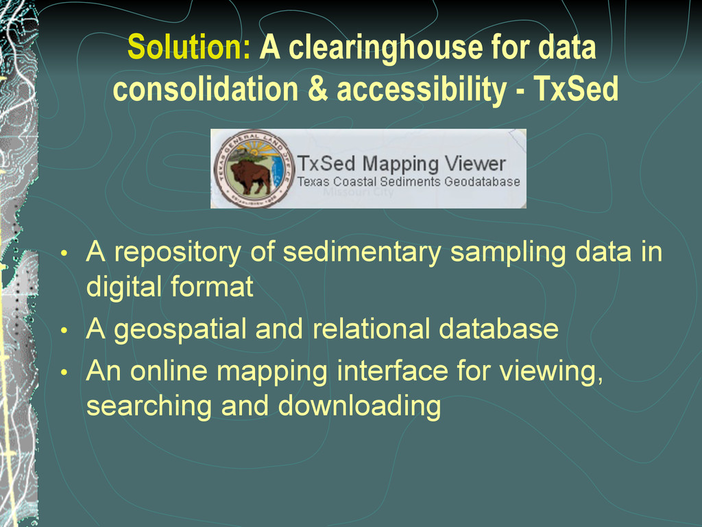
• A repository of sedimentary sampling data in digital format • A geospatial and relational database • An online mapping interface for viewing, searching and downloading
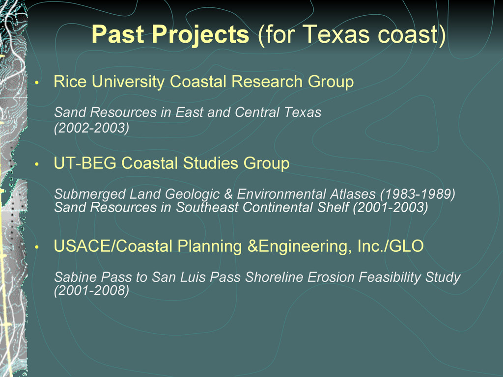
Group Sand Resources in East and Central Texas (2002-2003) • UT-BEG Coastal Studies Group Submerged Land Geologic & Environmental Atlases (1983-1989) Sand Resources in Southeast Continental Shelf (2001-2003) • USACE/Coastal Planning &Engineering, Inc./GLO Sabine Pass to San Luis Pass Shoreline Erosion Feasibility Study (2001-2008)
data source, availability and quality • Diversity in data reporting format/medium • Limited resources (personnel, time, funding) • Vision, leadership, collaboration, coordination and communication are also crucial
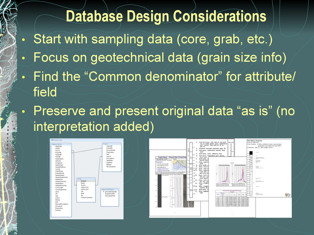
etc.) • Focus on geotechnical data (grain size info) • Find the “Common denominator” for attribute/ field • Preserve and present original data “as is” (no interpretation added)
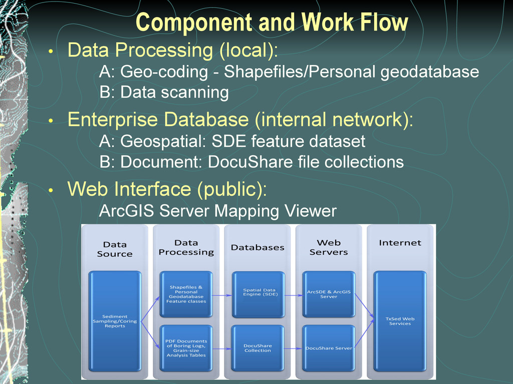
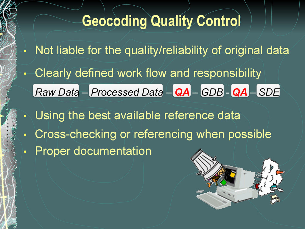
original data • Clearly defined work flow and responsibility Raw Data – Processed Data – QA – GDB - QA – SDE • Using the best available reference data • Cross-checking or referencing when possible • Proper documentation
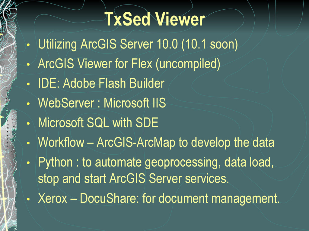
ArcGIS Viewer for Flex (uncompiled) • IDE: Adobe Flash Builder • WebServer : Microsoft IIS • Microsoft SQL with SDE • Workflow – ArcGIS-ArcMap to develop the data • Python : to automate geoprocessing, data load, stop and start ArcGIS Server services. • Xerox – DocuShare: for document management.
are presenting and still working on I am hesitant to define the collaboration for fear of over looking someone. However, this illustrates the immense collaboration and energy making this idea that is now over 10 years old, a reality. • Dr. Juan Moya for making the database a reality by selling the idea, securing funding and bringing people together, he got this going. • Lori Thomas’ and her team at the Corps Galveston District that coordinate with the GLO regarding data. • Michael Sterling at the Corps – Galveston District who is helping us with longevity • Many others at the Galveston office at the Corps of Engineers • Luis Sanez retired from the Corps of Engineers Galveston District • Dr. John Anderson at Rice University • Bureau of Economic Geology at the University of Texas • Texas A&M and Dr. Dellapena and his wonderful interns
• Temporary Employee Maria Sanez who has made a significant contribution in a few months • General Land Office for allowing us to do this project • GIS and Information Systems, • Keith Corkran – Database Administrator • Deputy Steve Paxman – IS – support and vision • Director Sheri Land - Coastal for support getting us more money • Coastal Resources staff • Tony Williams in Professional Services, who gets and returns data on his trips to Galveston! • Communications for making a video about this project (still in the works) • Engineering firms for support and feedback
Ray Newby, P.G. [email protected] (512) 475-3624 Jeff Perkins [email protected] (512)463-5257 Laura Wisdom, M.I.S. [email protected] (512) 463-7397 Or visit us on the Web: http://glo.texas.gov http://gisweb.glo.texas.gov/txsed/
![For additional information, contact: Daniel Gao, Ph.D. [email protected] (512) 475-1967](https://files.speakerdeck.com/presentations/5090562b7536e50002018b36/slide_32.jpg)