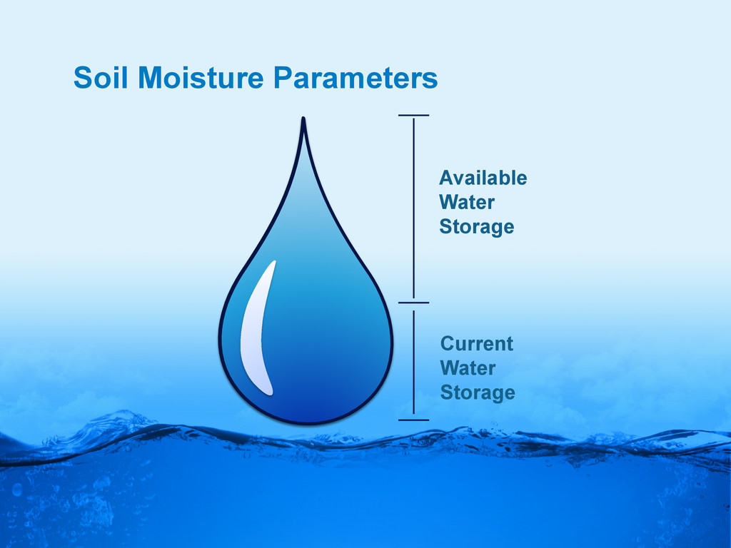
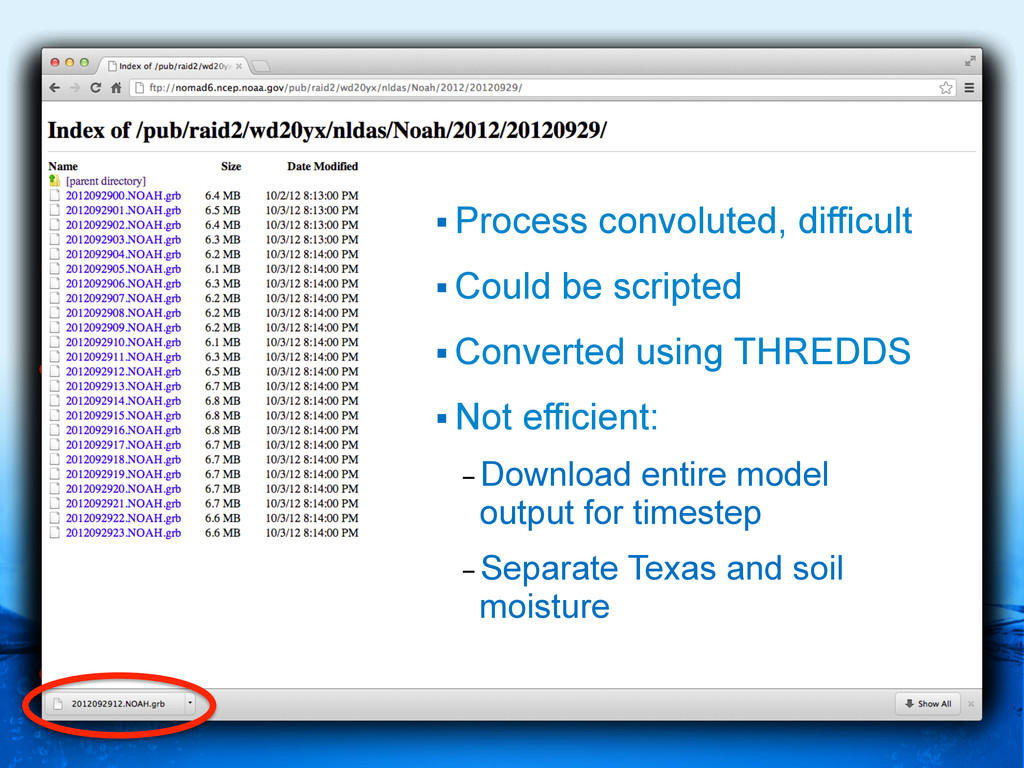
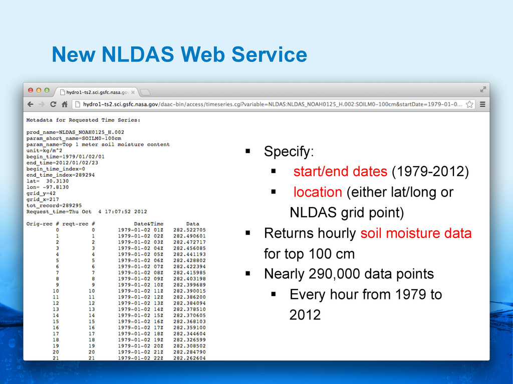
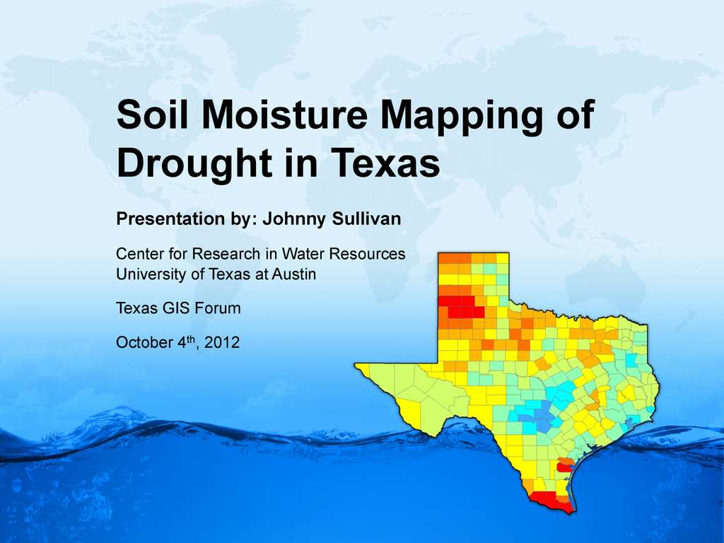
§ location (either lat/long or NLDAS grid point) § Returns hourly soil moisture data for top 100 cm § Nearly 290,000 data points § Every hour from 1979 to 2012
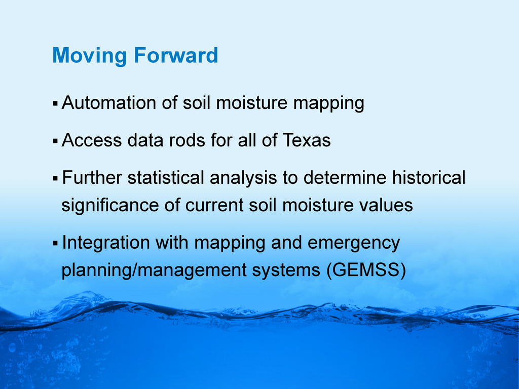
for all of Texas § Further statistical analysis to determine historical significance of current soil moisture values § Integration with mapping and emergency planning/management systems (GEMSS)