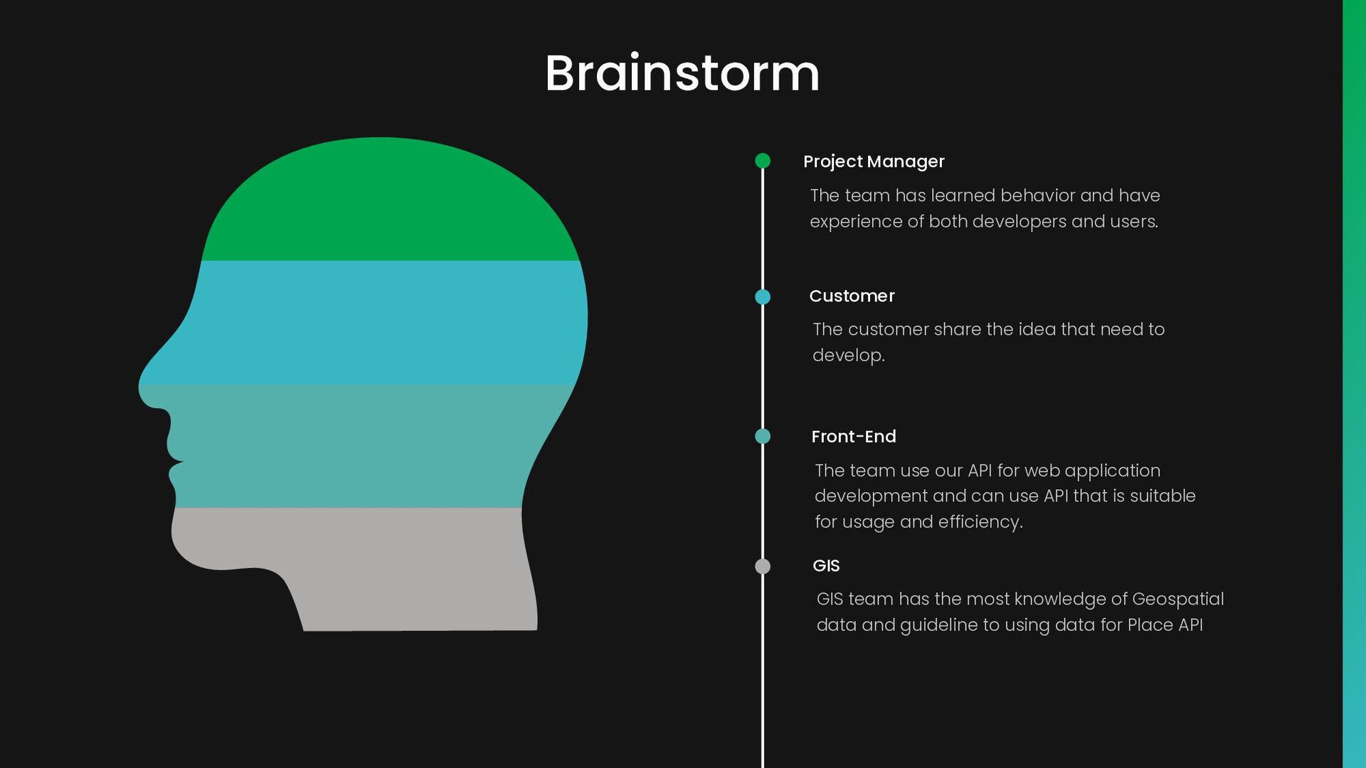
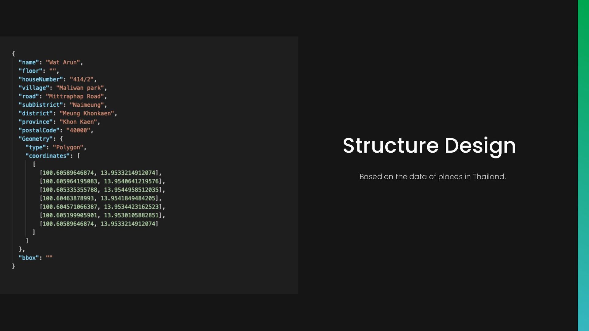
both developers and users. Project Manager The customer share the idea that need to develop. Customer The team use our API for web application development and can use API that is suitable for usage and efficiency. Front-End GIS team has the most knowledge of Geospatial data and guideline to using data for Place API GIS
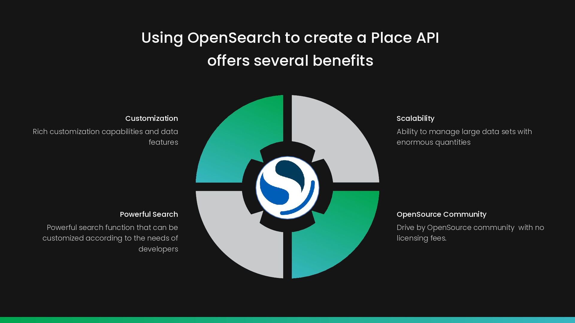
that can be customized according to the needs of developers Powerful Search Ability to manage large data sets with enormous quantities Scalability Drive by OpenSource community with no licensing fees. OpenSource Community Using OpenSearch to create a Place API offers several benefits
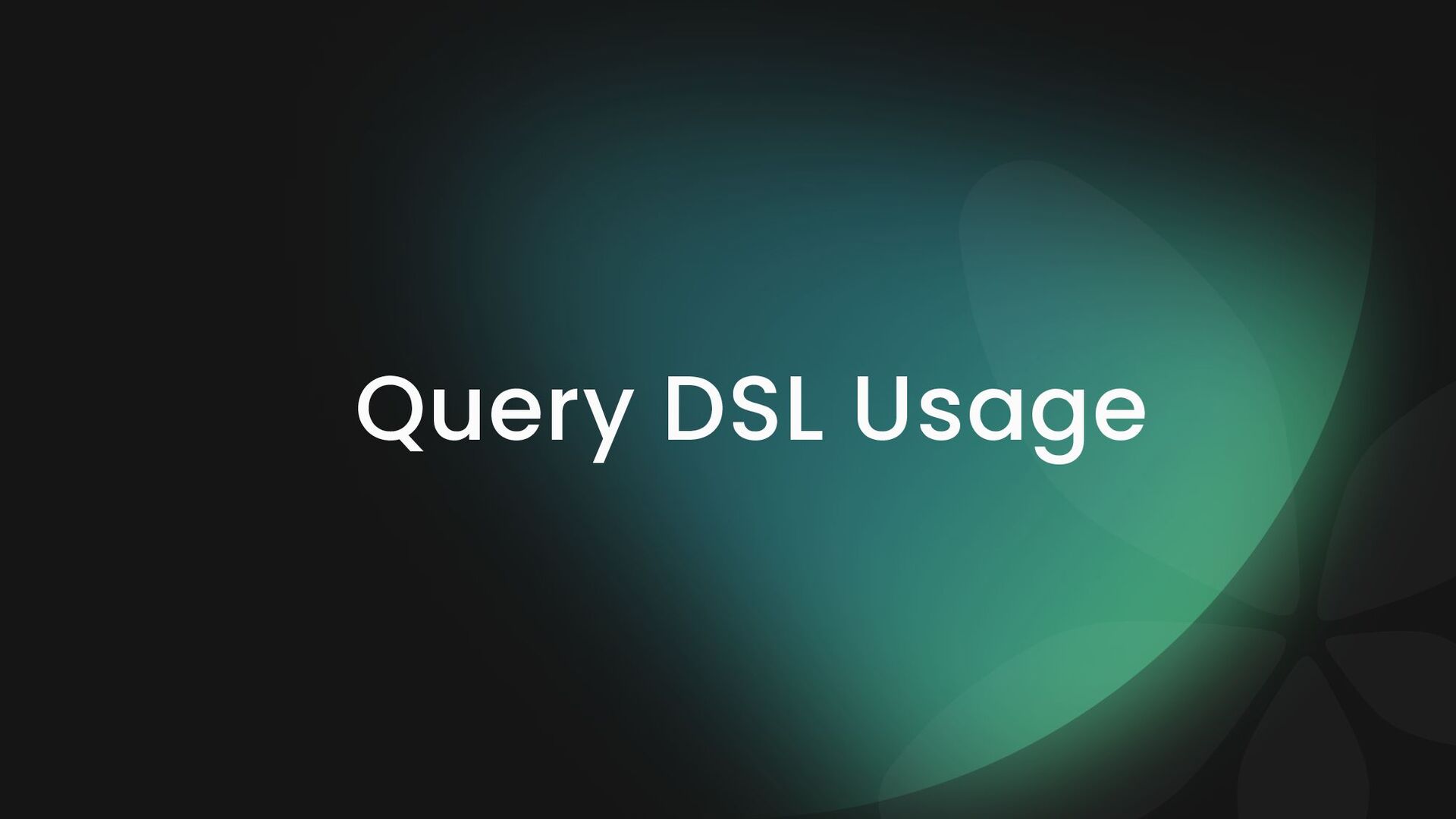
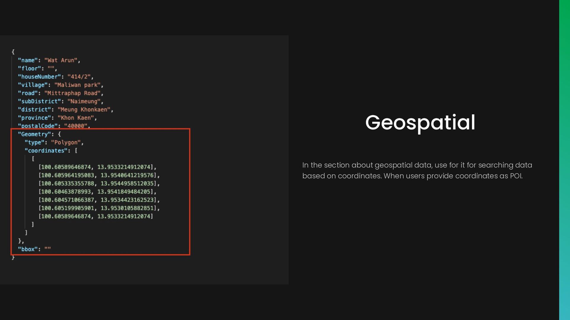
to set the conditions for searching documents that meet our needs. The structure are similar to JSON-based queries. Query DSL has the ability to filter, sort, aggregate, and determine the relevance of data.
I have shared with everyone today will make you understand the idea of searching for the place and the goal that I want to achieve. And I also hope that attendees in this room, whether they think the same as me or the opposite, will come and join developing this Place API together.
any time on (phone cell) or contact us by (email). We will get back to you as soon as we can I-bitz company limited 1371 Suite 10 Capital Mansion, Phahonyothin Rd, Phayathai, Bangkok, 10400 Thailand Office Hours Monday-Friday 09.00-17.00 Get in touch (+66) 2278 7913 More Information www.i-bitz.co.th [email protected] Thank You For Joining This Session