Share
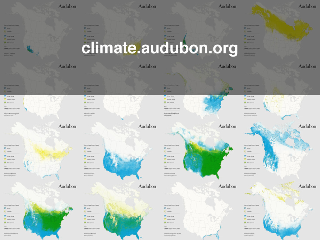
Presented at FOSS4G 2014 in Portland, Oregon. Video of presentation: https://vimeo.com/106848543 Similar presentation at State of the Map US: https://vimeo.com/91942250
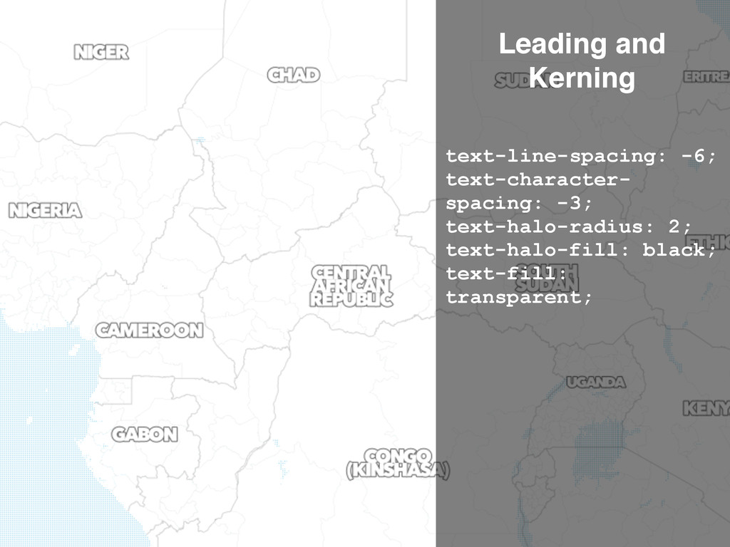
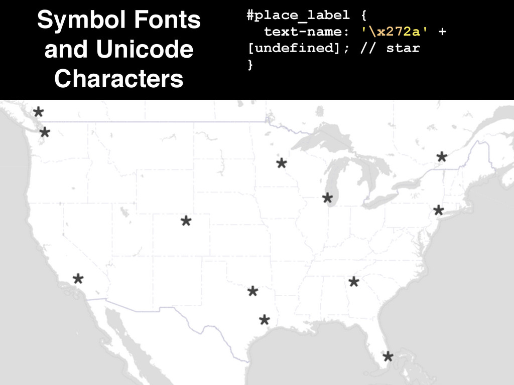
![Filter Labels by Length! ! ! [name=~'^.{12,}$'] { text-name: '';](https://files.speakerdeck.com/presentations/220f8ca01cf901321db1664d3453dee6/slide_8.jpg)
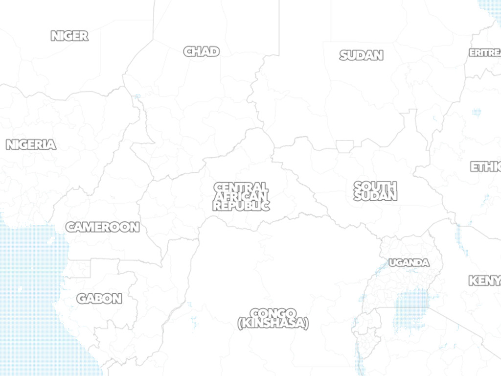
![#state_label { [name='California'] { text-orientation: -44; text-size: 20; } }](https://files.speakerdeck.com/presentations/220f8ca01cf901321db1664d3453dee6/slide_14.jpg)
![Entropy and Labeling #place_label { text-orientation: [osm_id] % 3 -](https://files.speakerdeck.com/presentations/220f8ca01cf901321db1664d3453dee6/slide_16.jpg)
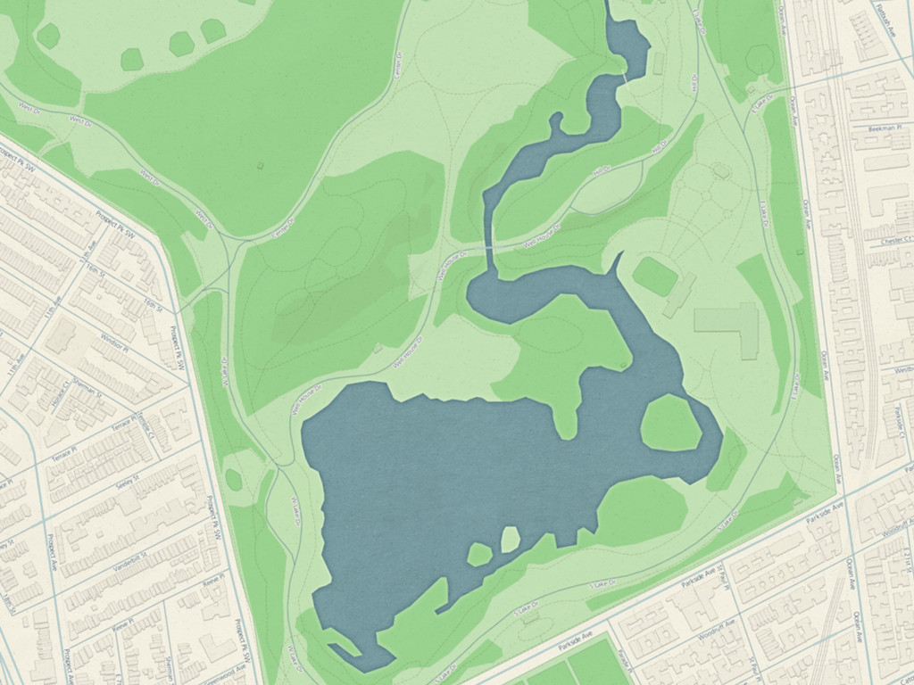
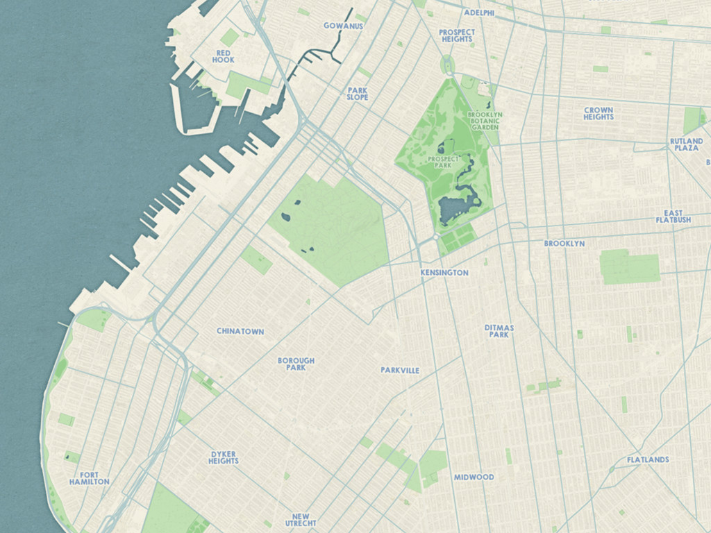
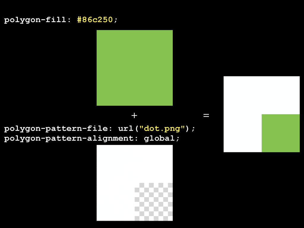
![Map { background-image: url("texture.png"); } ! #landuse[type='park'] { polygon-fill: #c3e0b6;](https://files.speakerdeck.com/presentations/220f8ca01cf901321db1664d3453dee6/slide_19.jpg)
![[type='Overlook'] { [orientation=15] { marker-file: url("images/ overlook2_36x18px_invert_buffer_15.svg"); } [orientation=45] {](https://files.speakerdeck.com/presentations/220f8ca01cf901321db1664d3453dee6/slide_30.jpg)
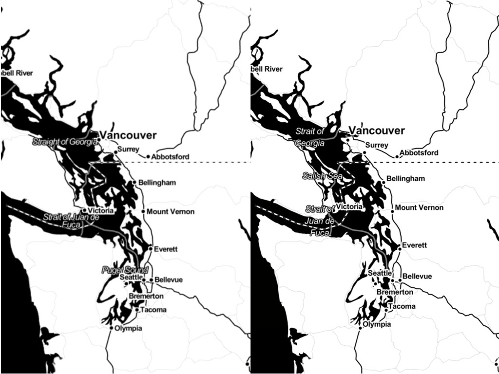
![[name = 'Hecate Straight'] { text-name: 'Hecate Strait' + [namealt];](https://files.speakerdeck.com/presentations/220f8ca01cf901321db1664d3453dee6/slide_34.jpg)
![#buildings[type!='no'] { [zoom=14][area>=5000], [zoom>=15][area>=2000], [zoom>=16] { polygon-pattern- file: url("images/ stripe_med.png");](https://files.speakerdeck.com/presentations/220f8ca01cf901321db1664d3453dee6/slide_36.jpg)
![Scripted TileMill node Applications/TileMill/Contents/Resources/index.js export [tilemillproject] --format=png --width=1024 --height=768 map.png](https://files.speakerdeck.com/presentations/220f8ca01cf901321db1664d3453dee6/slide_51.jpg)