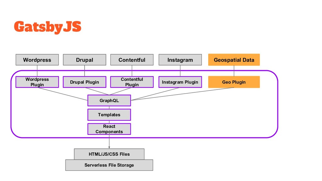
your SDI onto the internet (ArcGIS, GeoServer, ancillary supporting services) • Export/Import/Link into a CMS • Publish some sort of GeoJSON/TopoJSON at a URL
pattern that provides the functionality of a website, but abstracts away the detail of the servers DNS CDN Reverse Proxy Cache Load Balancer Webserver (Apache) Webserver (Apache) Filesystem Operating System AWS Route 53 AWS Cloudfront AWS S3 Cloudflare Azure Storage Github Pages
monitor, more secure. Infinitely* scalable: scales with your provider’s platform (AWS, Azure, Github etc) Predictable costs: typically much cheaper (effectively per usage costs) Why not? Increased chance of vendor lock in (though this is reducing) Best-practice patterns and supporting tools still emerging (*not actually infinite, probably)
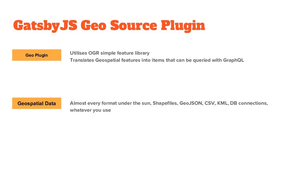
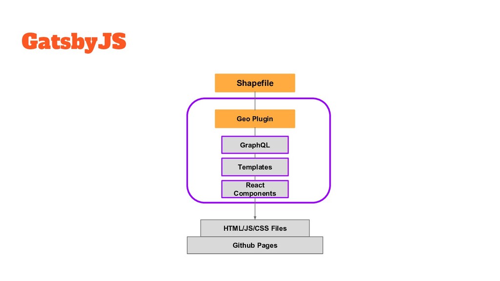
simple feature library Translates Geospatial features into items that can be queried with GraphQL Almost every format under the sun, Shapefiles, GeoJSON, CSV, KML, DB connections, whatever you use
![Thank You Twitter: @andrewl Email: [email protected] gatsby-source-geo: https://www.npmjs.com/package/gatsby-source-geo https://github.com/andrewl/gatsby-source-geo demo:](https://files.speakerdeck.com/presentations/c3767ee94c6c4310a67f9b8eb85608da/slide_20.jpg)