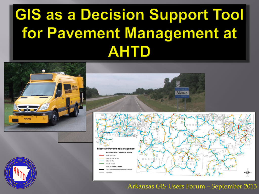
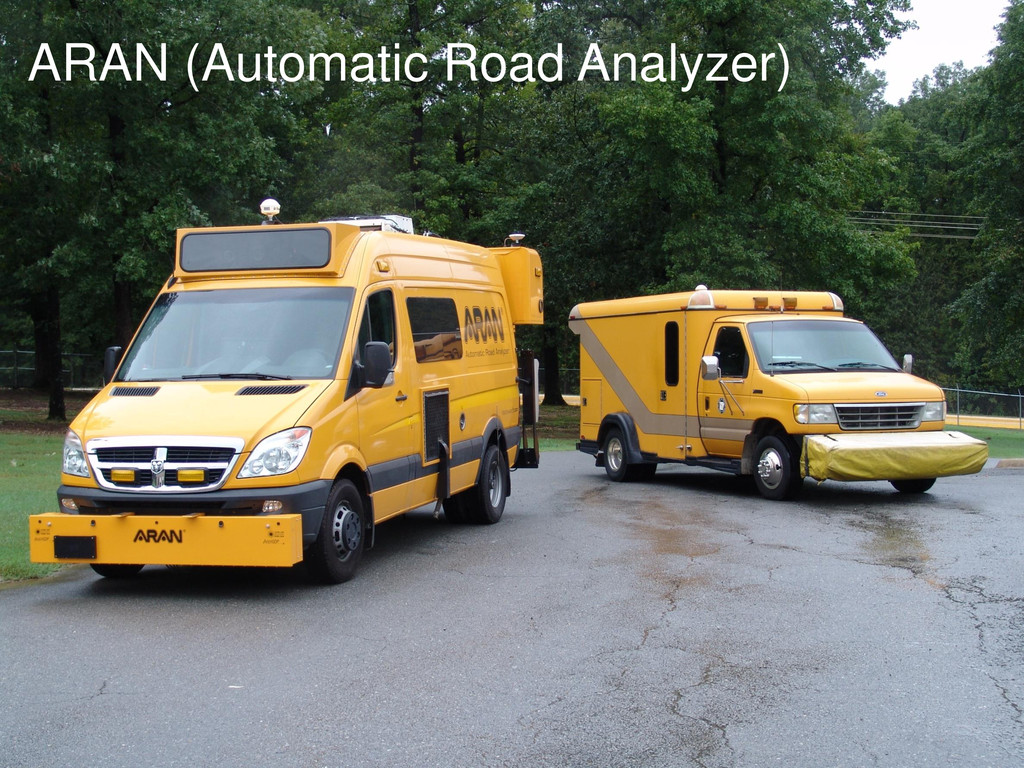
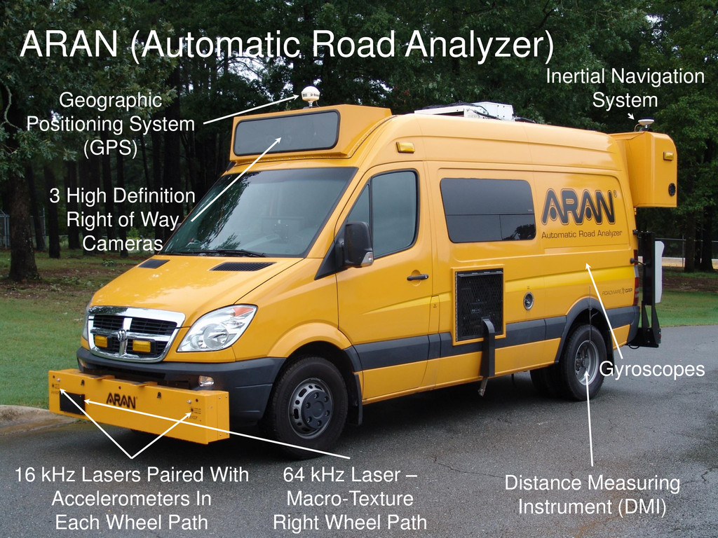
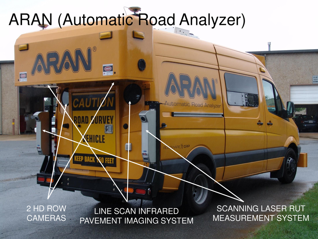
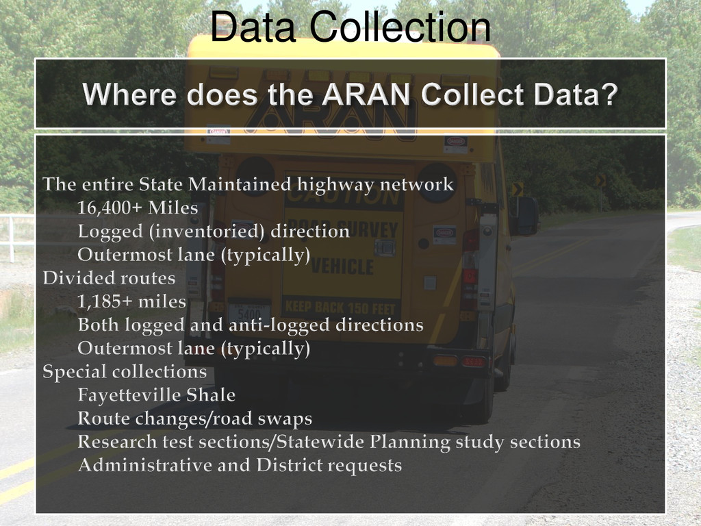
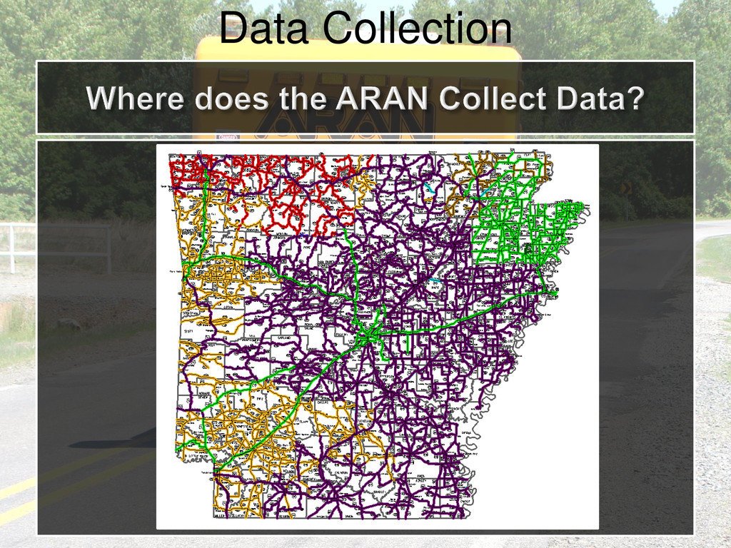
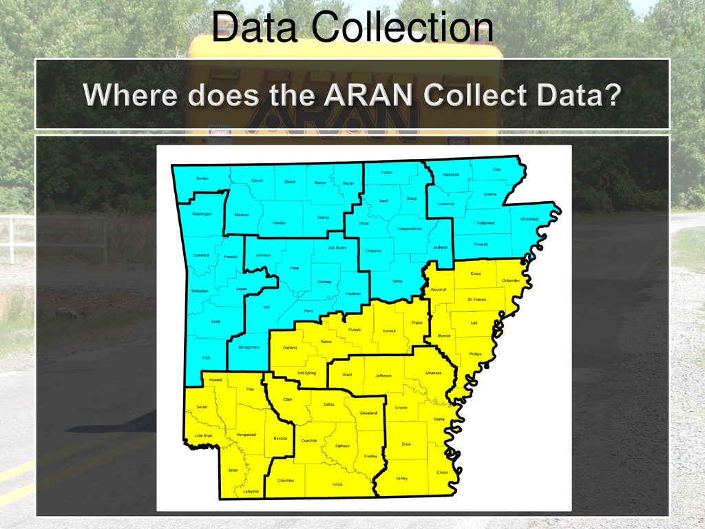
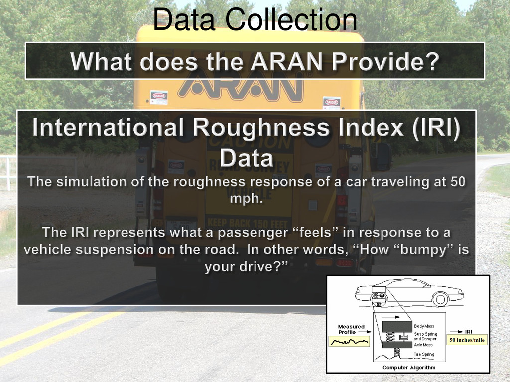
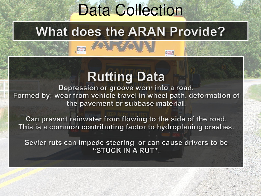
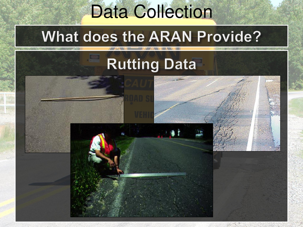
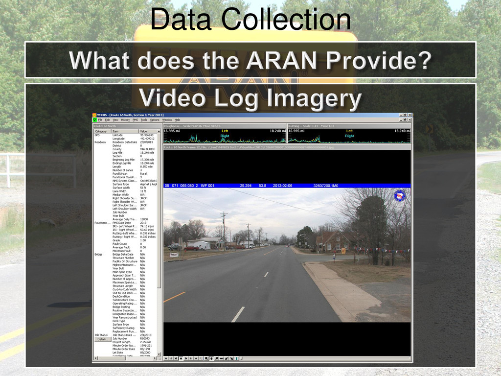
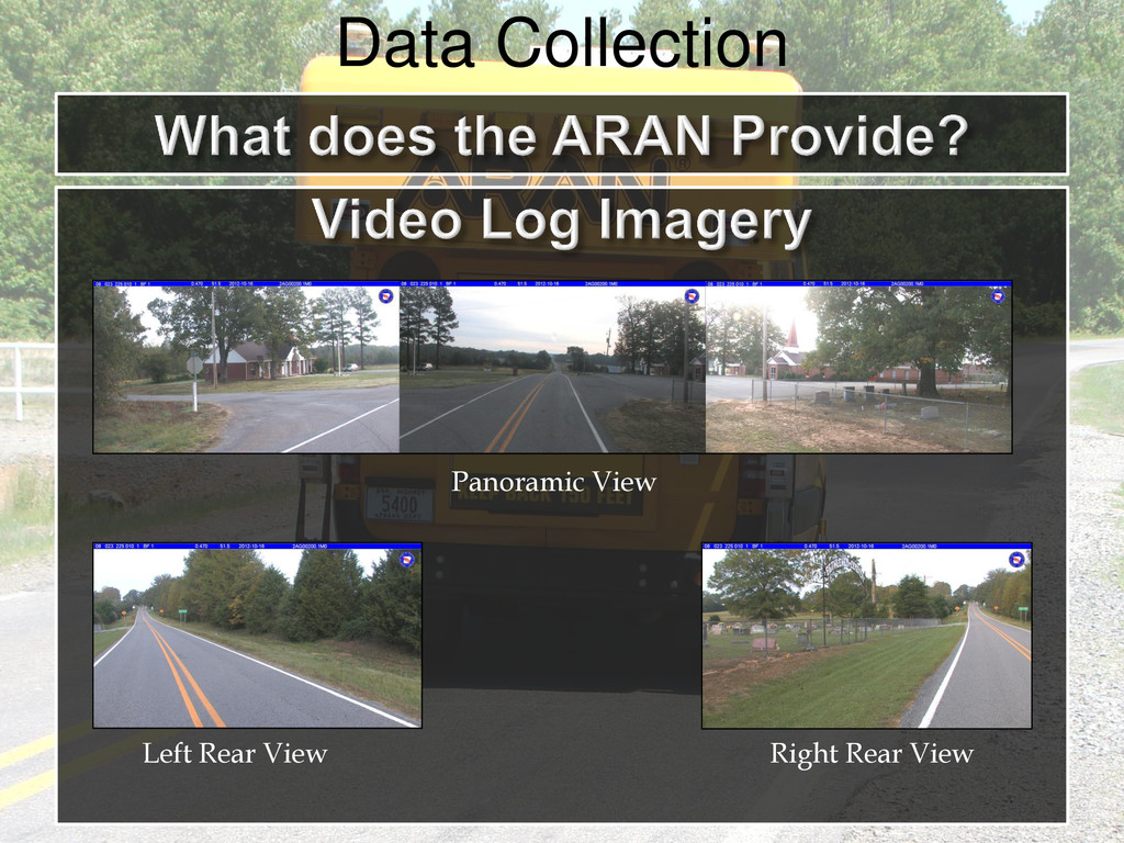
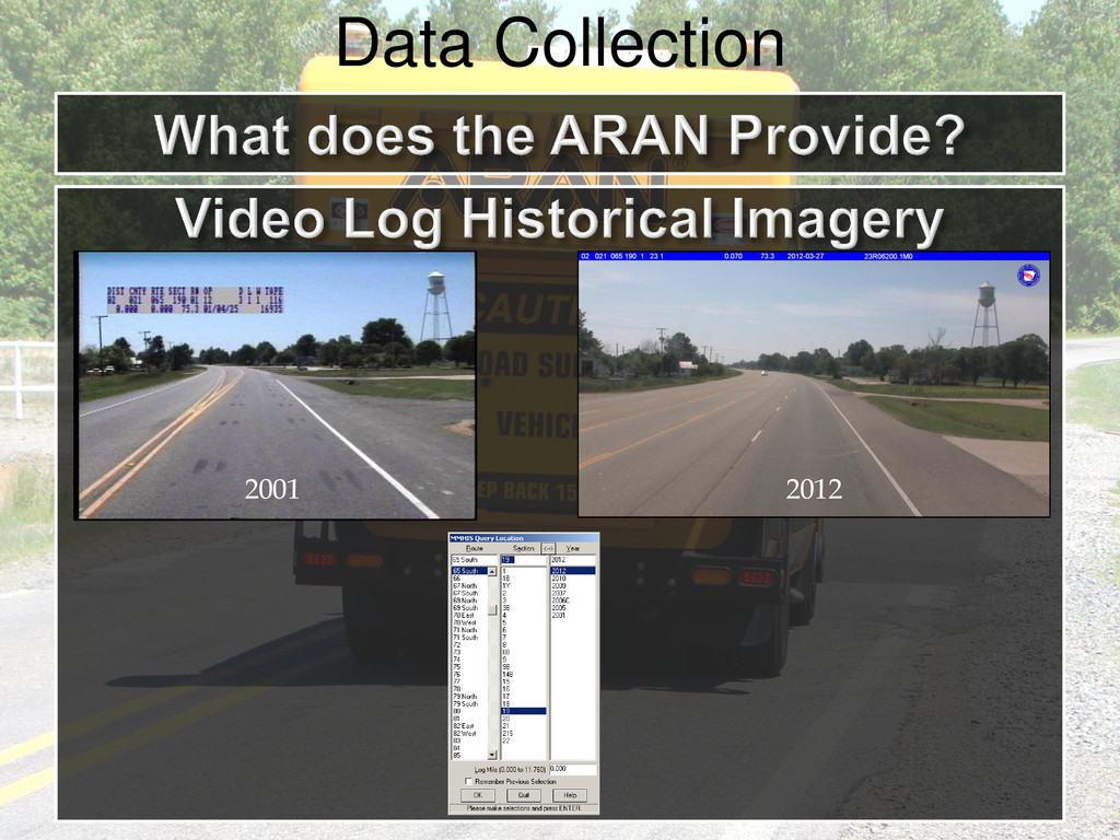
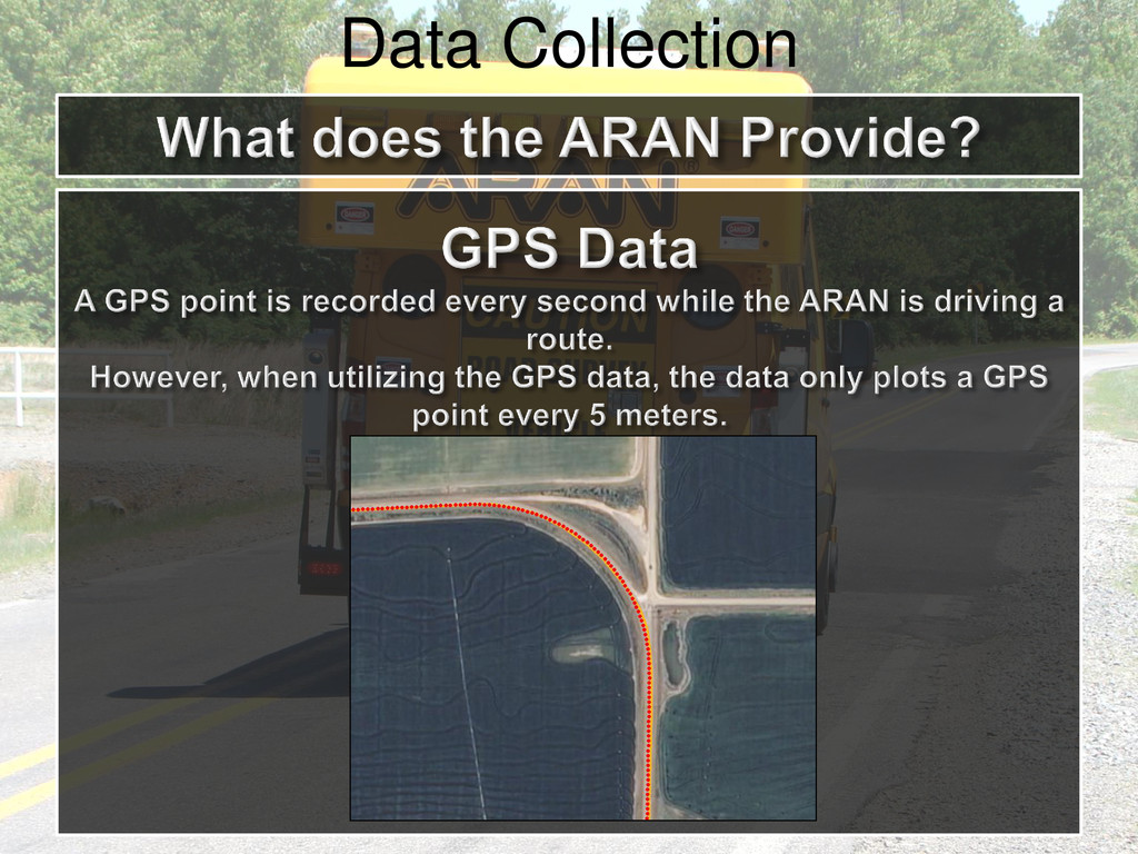
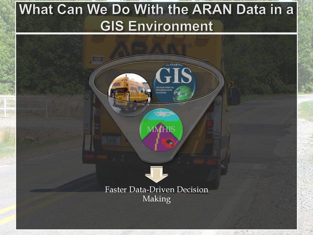
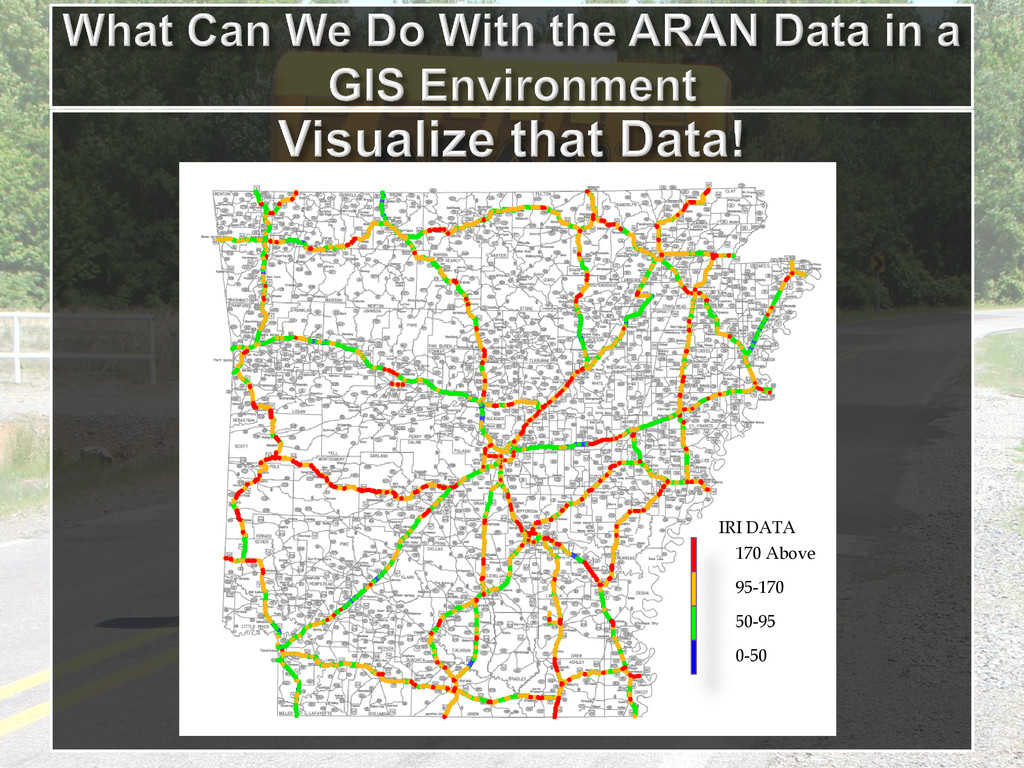
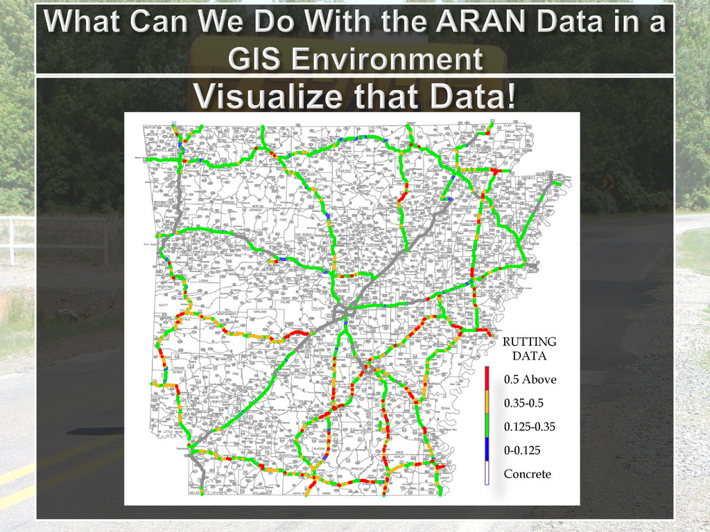
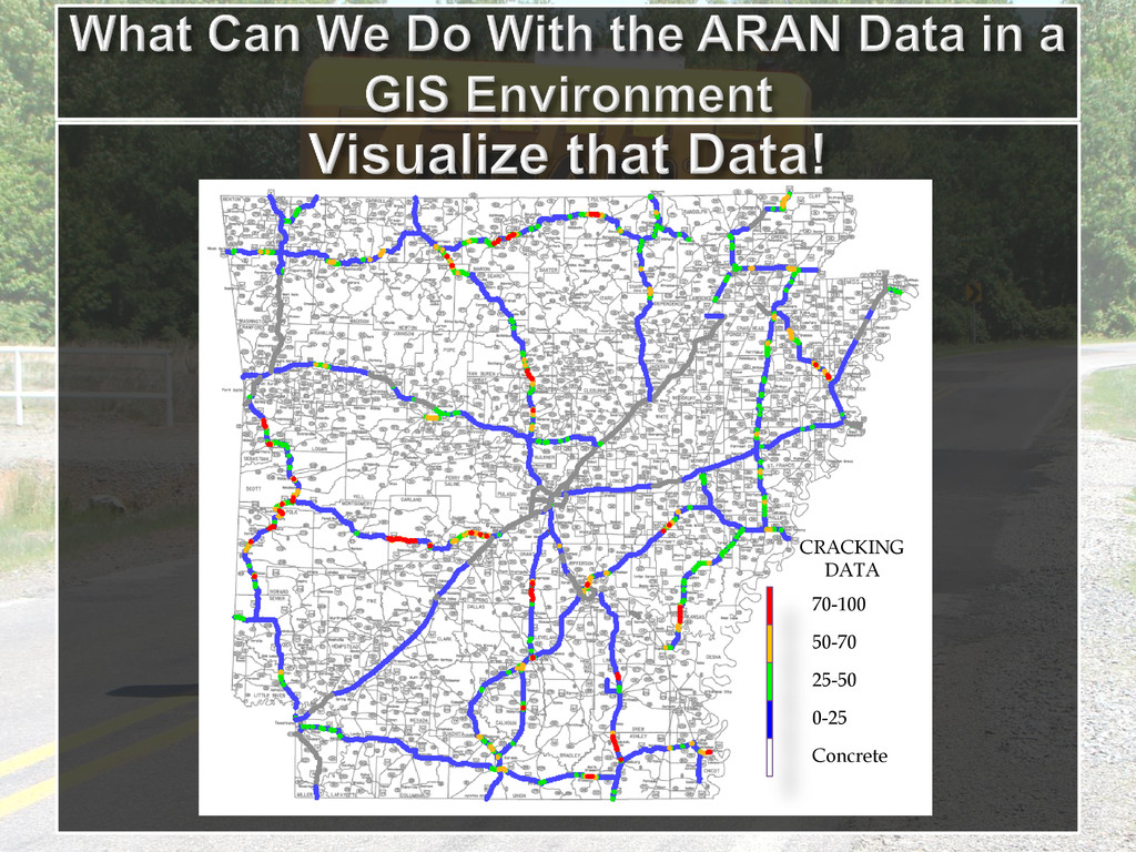
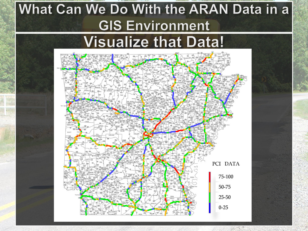
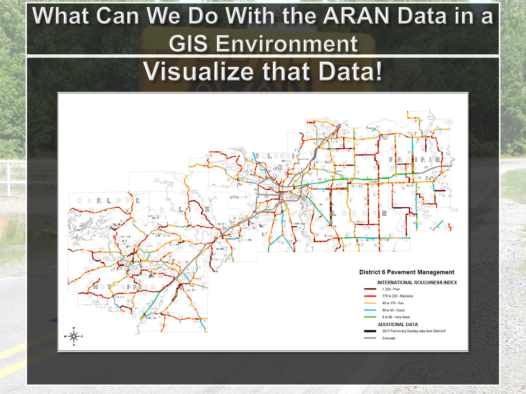
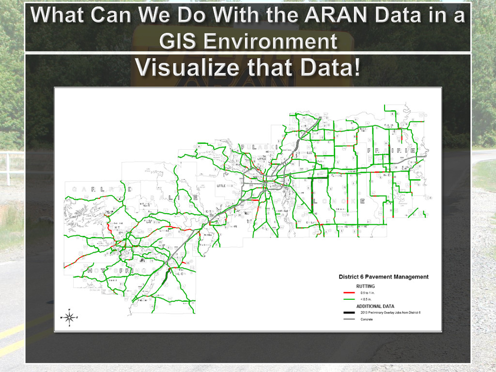
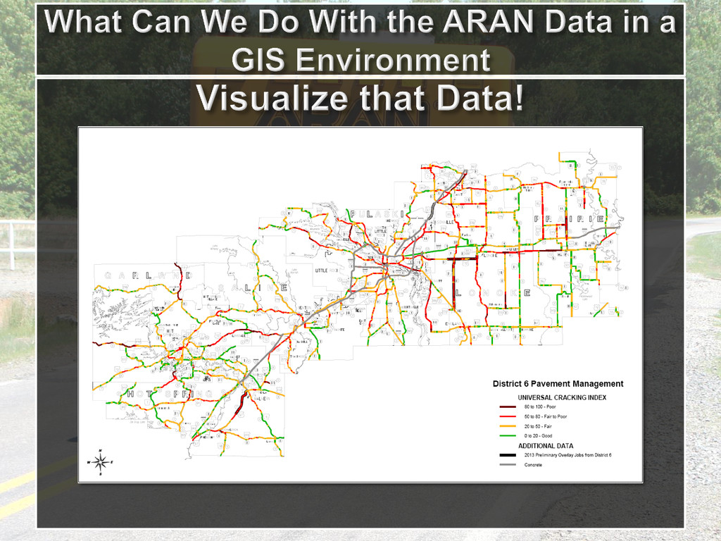
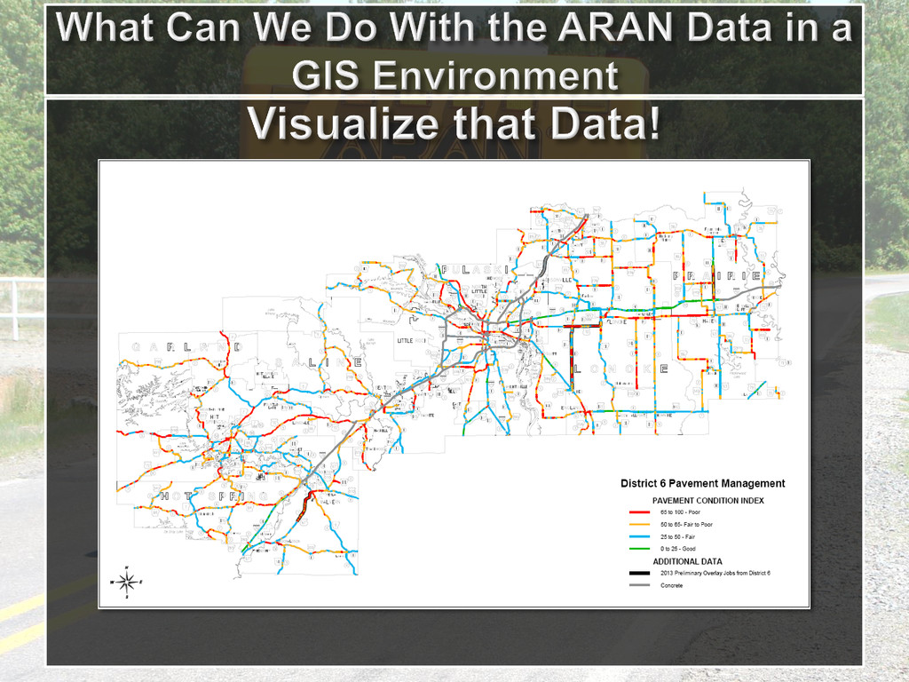
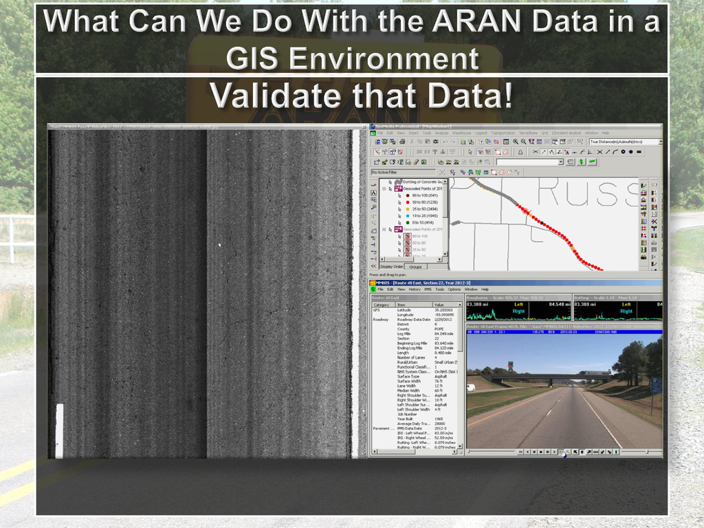
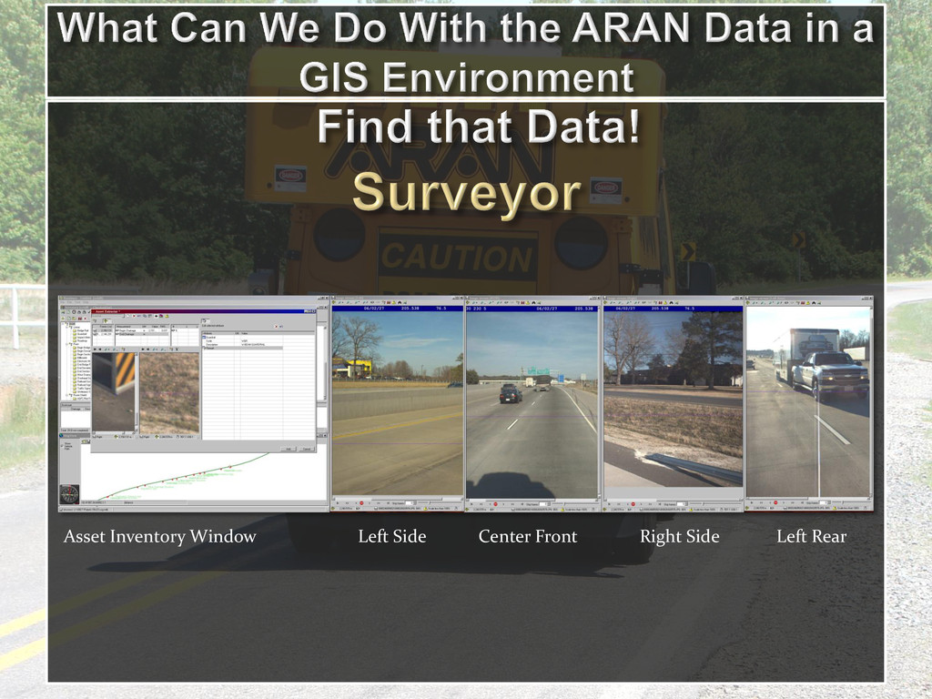
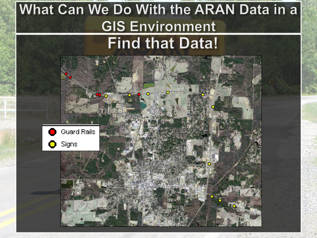
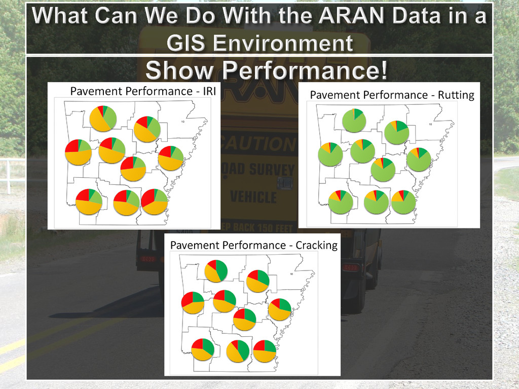
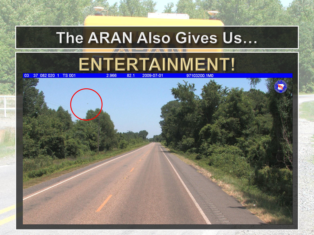
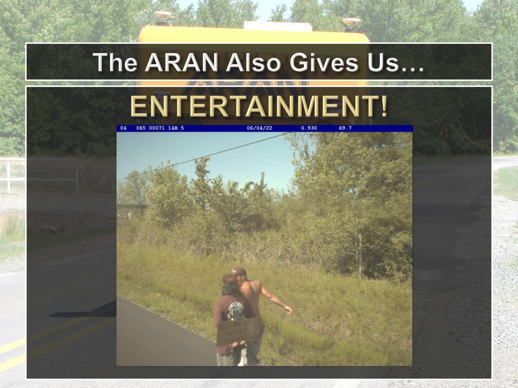
The Arkansas State Highway and Transportation Department AHTD maintains 16,000+ centerline miles of highways. Pavement condition is monitored by Automatic Road ANalyzer (ARAN) which collects International Roughness Index (IRI), Rutting, Right-Of-Way (ROW) images, pavement images (cracking) and other roadway data for every 5 meters in the network. This large amount of data, if not properly summarized and presented, will become a burden in terms of generating valuable information for decision making. This presentation demonstrates the power of GIS in supporting decision making by visualizing the data, identifying the needs, prioritizing the projects, and summarizing and comparing the regional performance. GIS also shows great advantages at integrating the pavement condition data with other layers of data in the department such as roadway network, construction and maintenance job records.