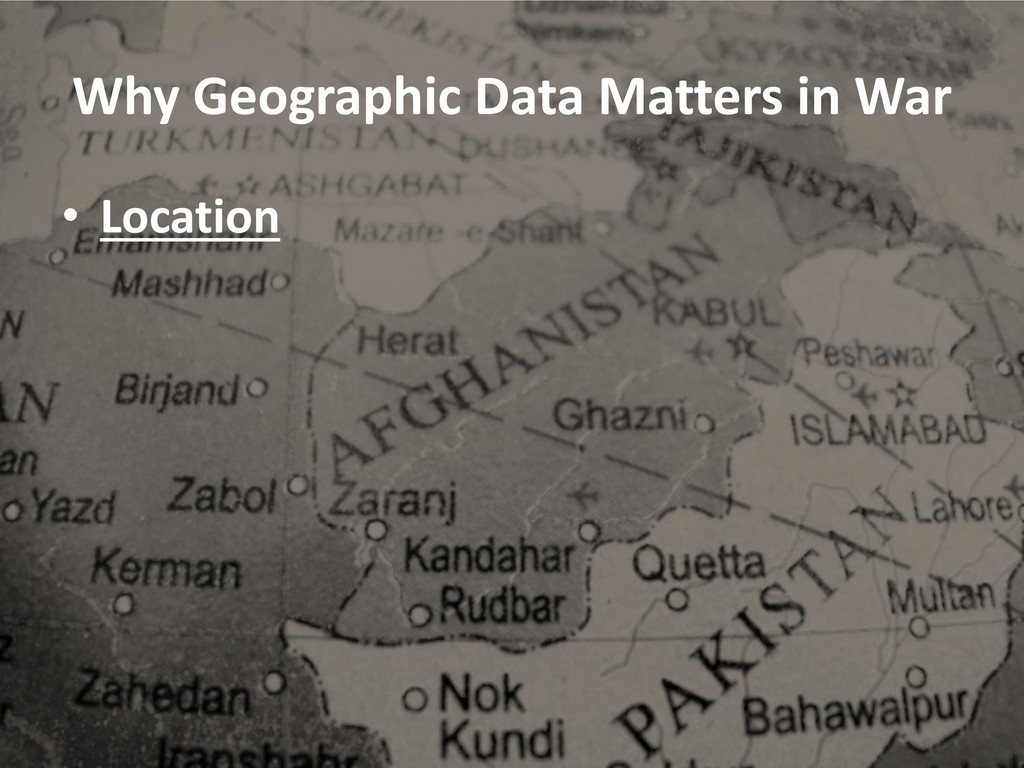
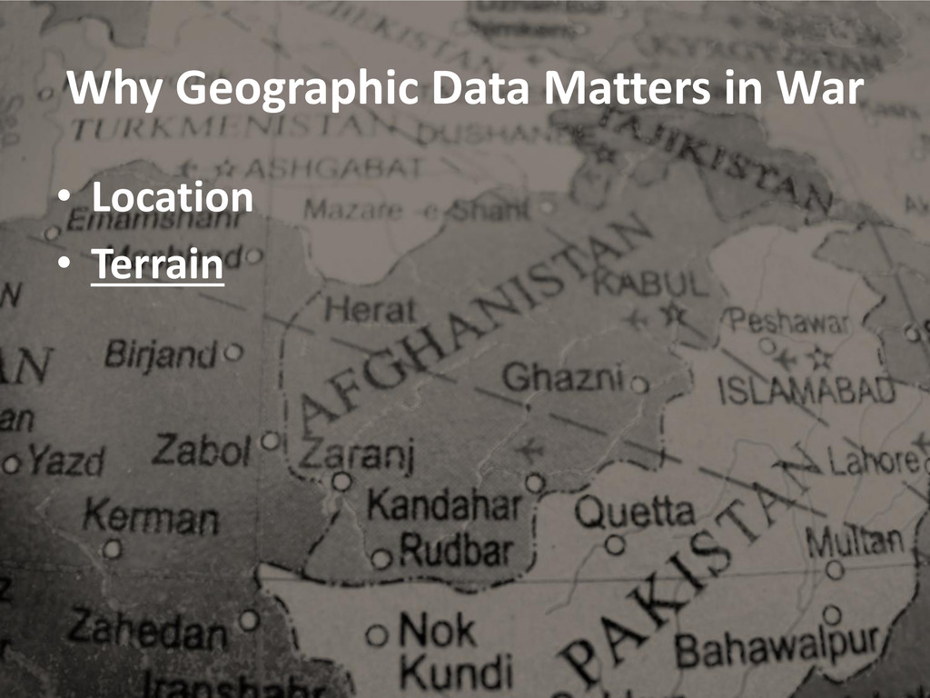
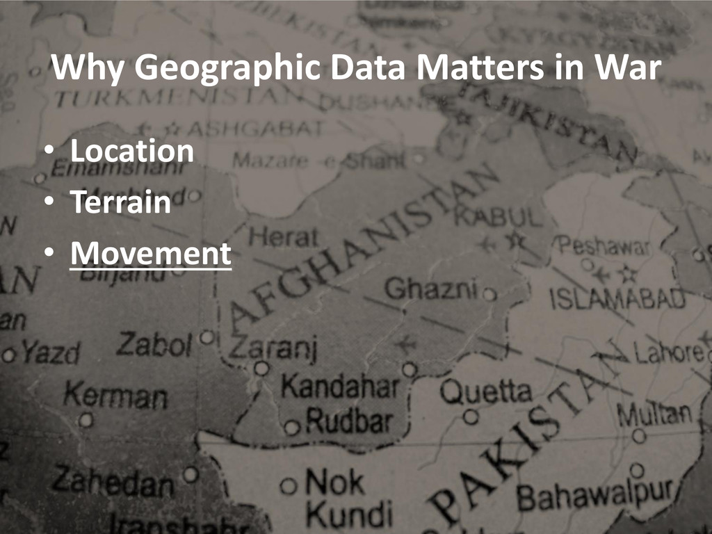
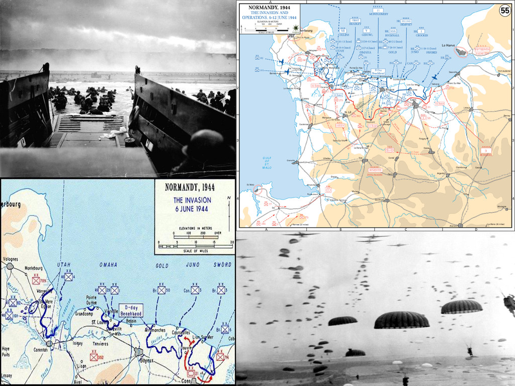
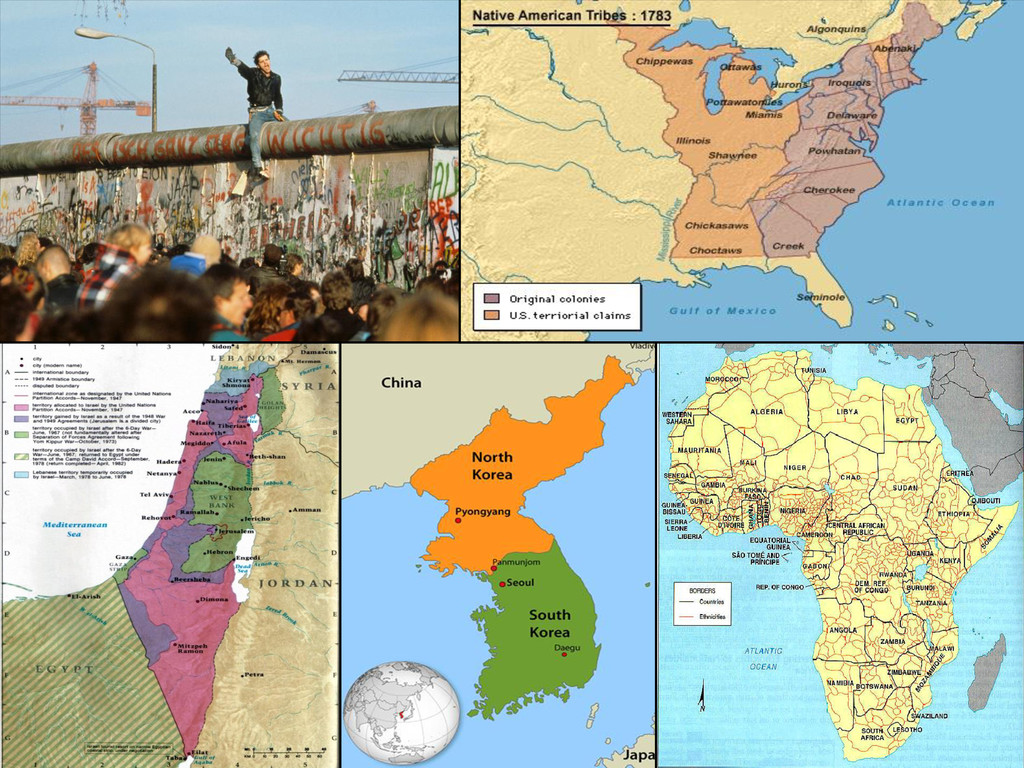
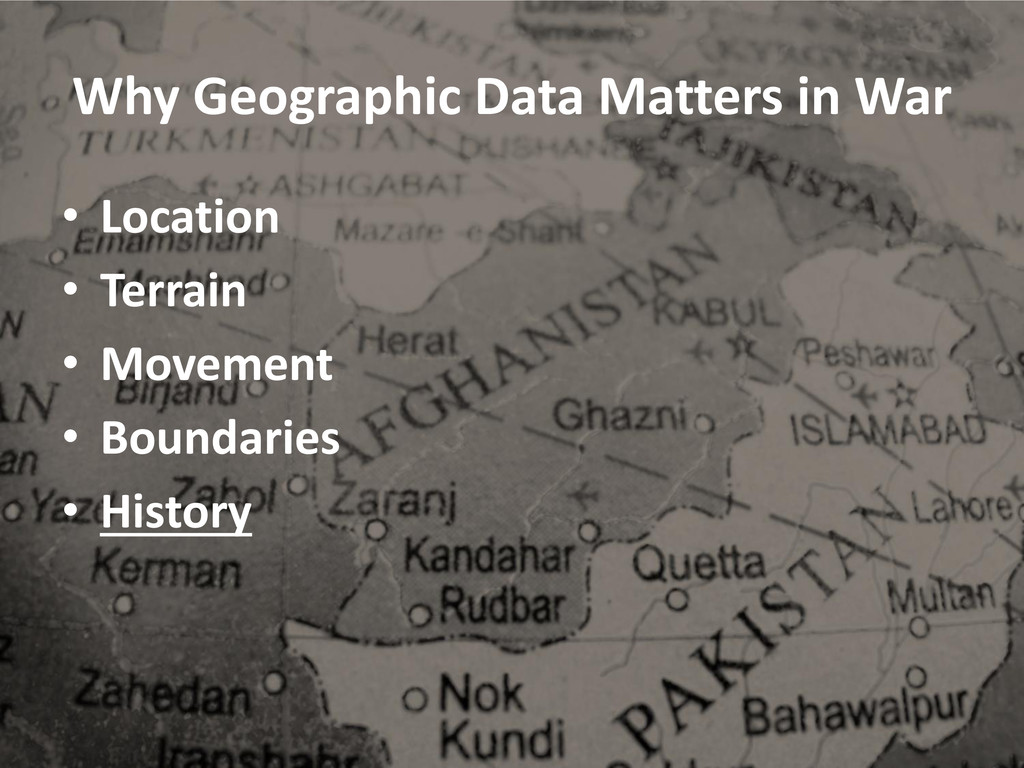
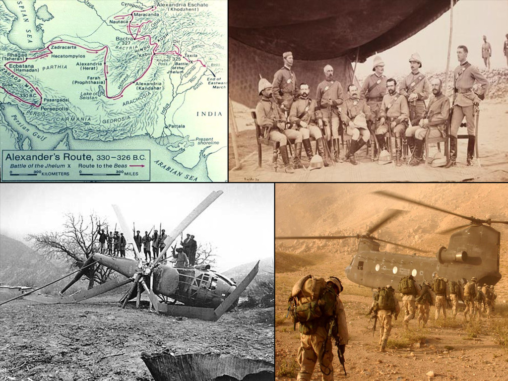
From Bunker Hill to Gettysburg; from the Beaches of Normandy to the jungles of Vietnam; from
the streets of Iraq to the mountains of Afghanistan; geographic data has played a key role in every
military conflict throughout our nation’s history. With the ongoing development of GIS technology,
geographic data can assist our military leaders in keeping the tactical advantage over our enemies.
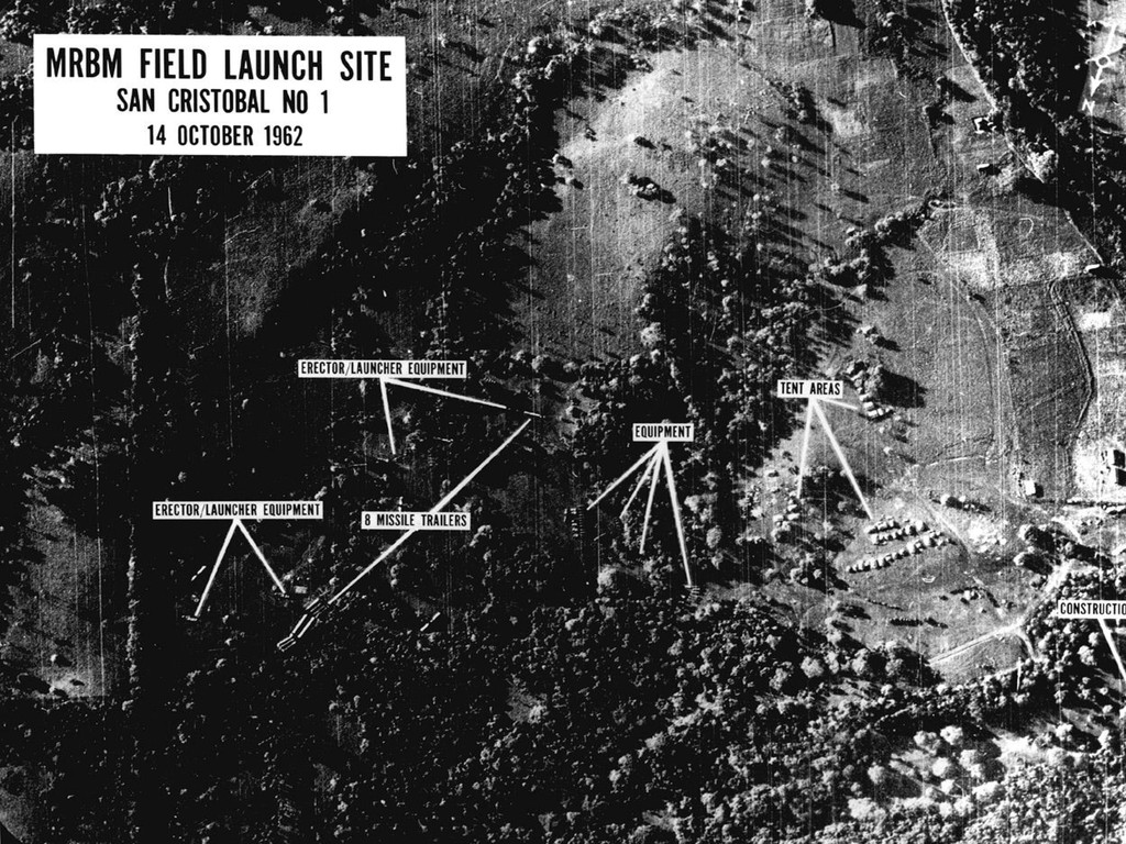
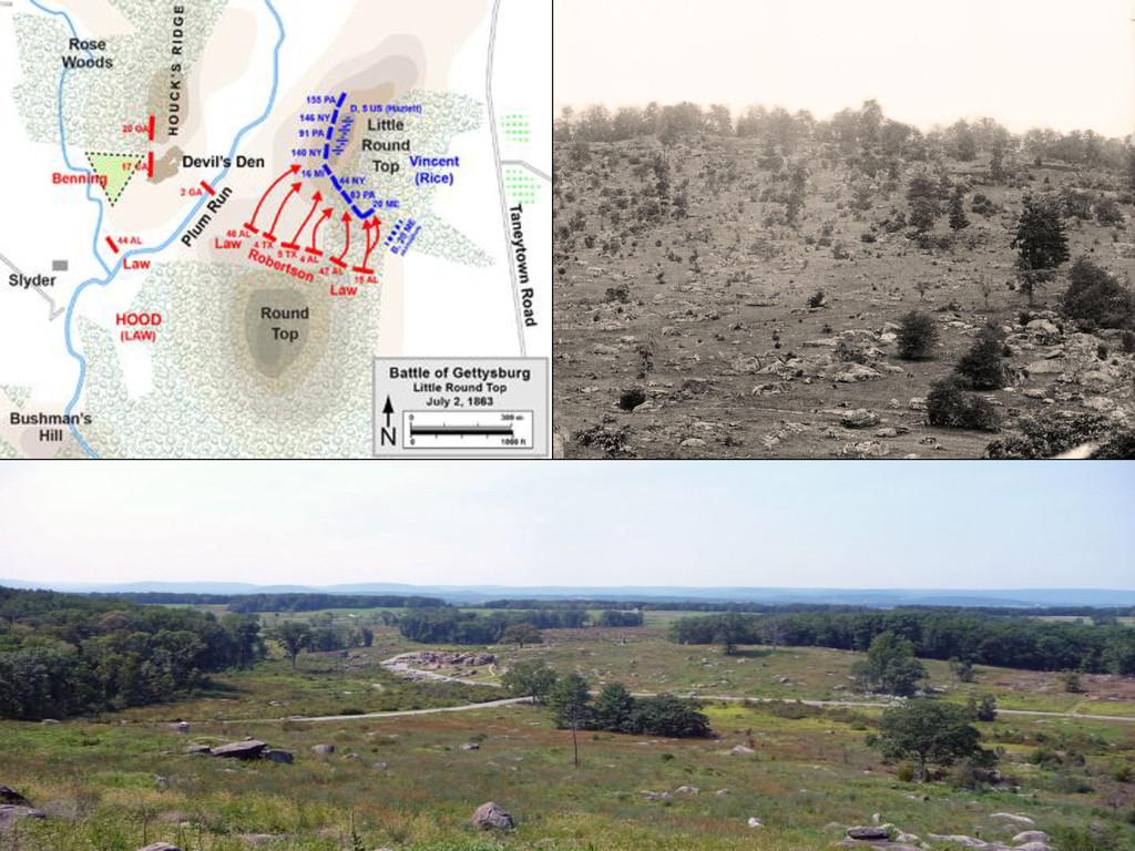
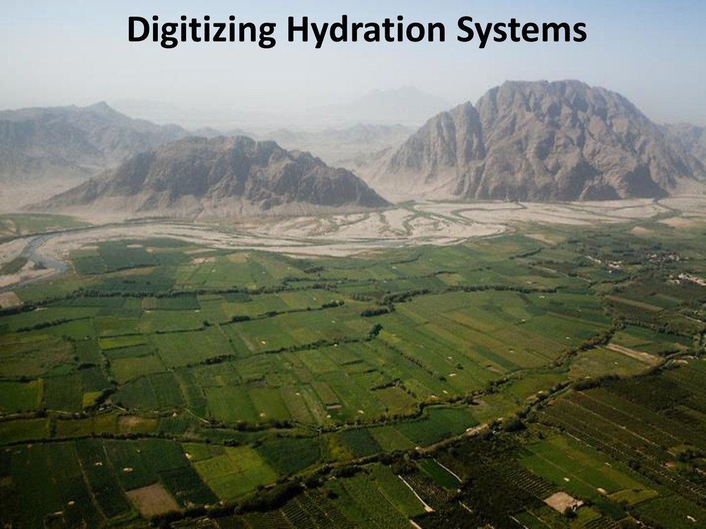
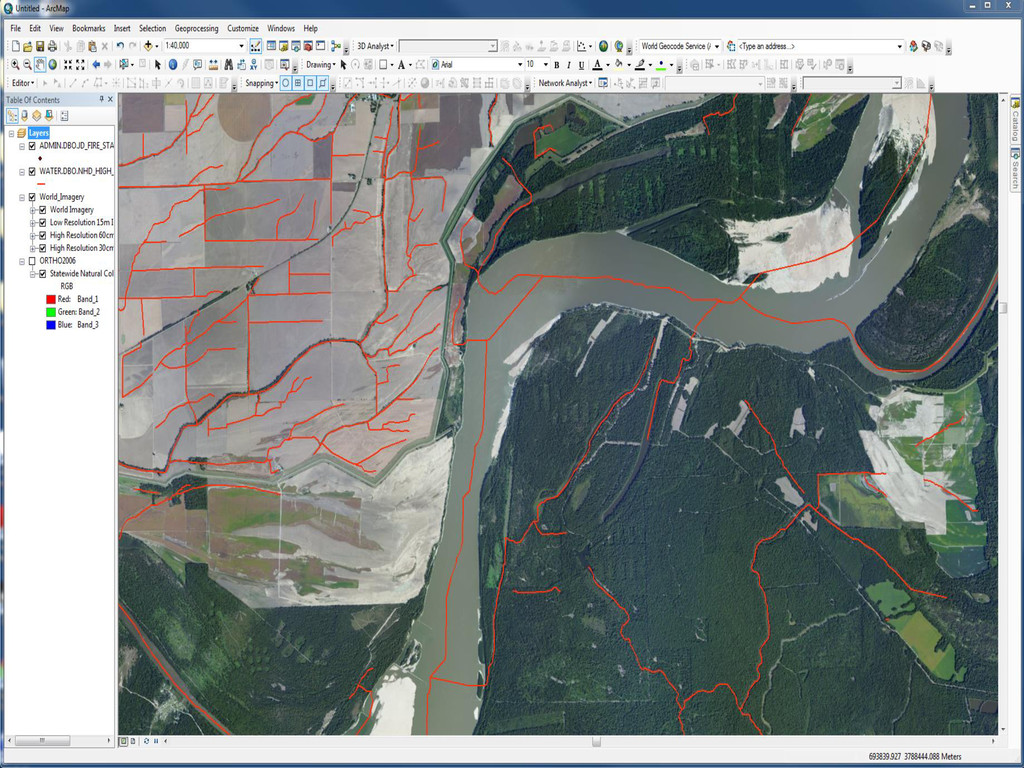
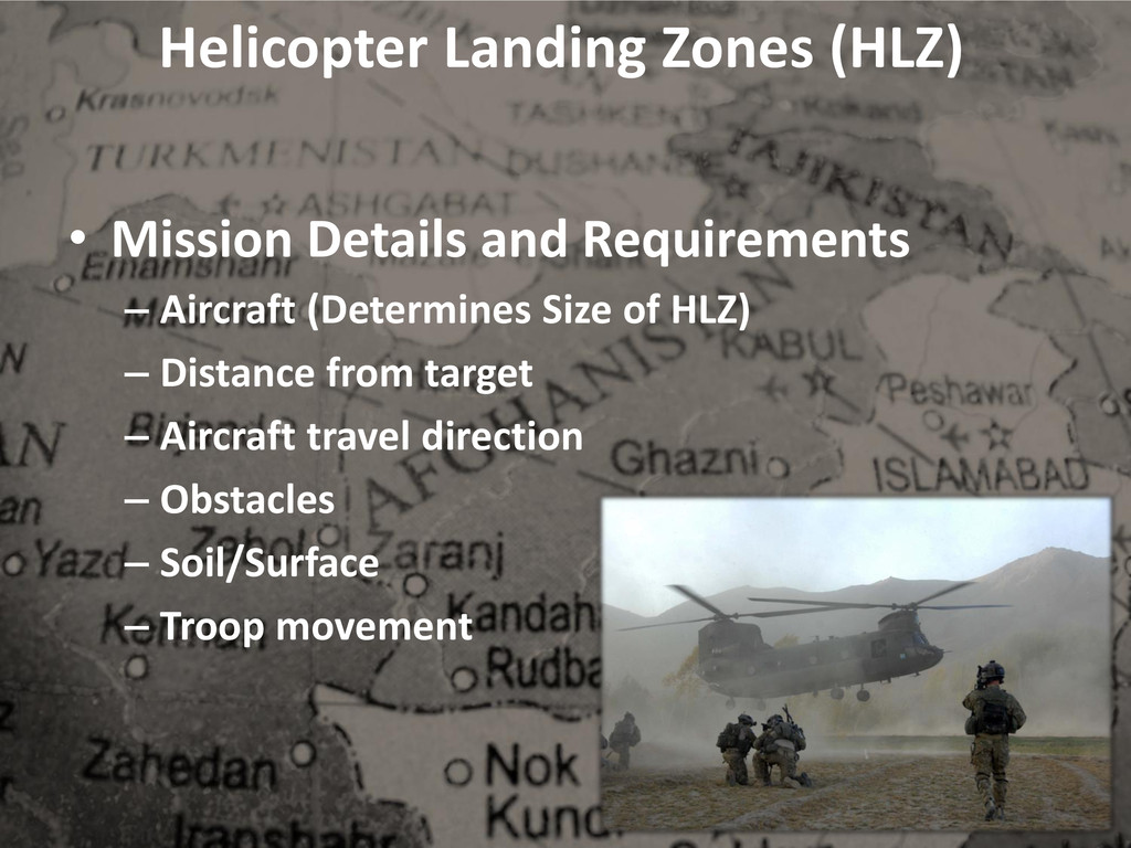
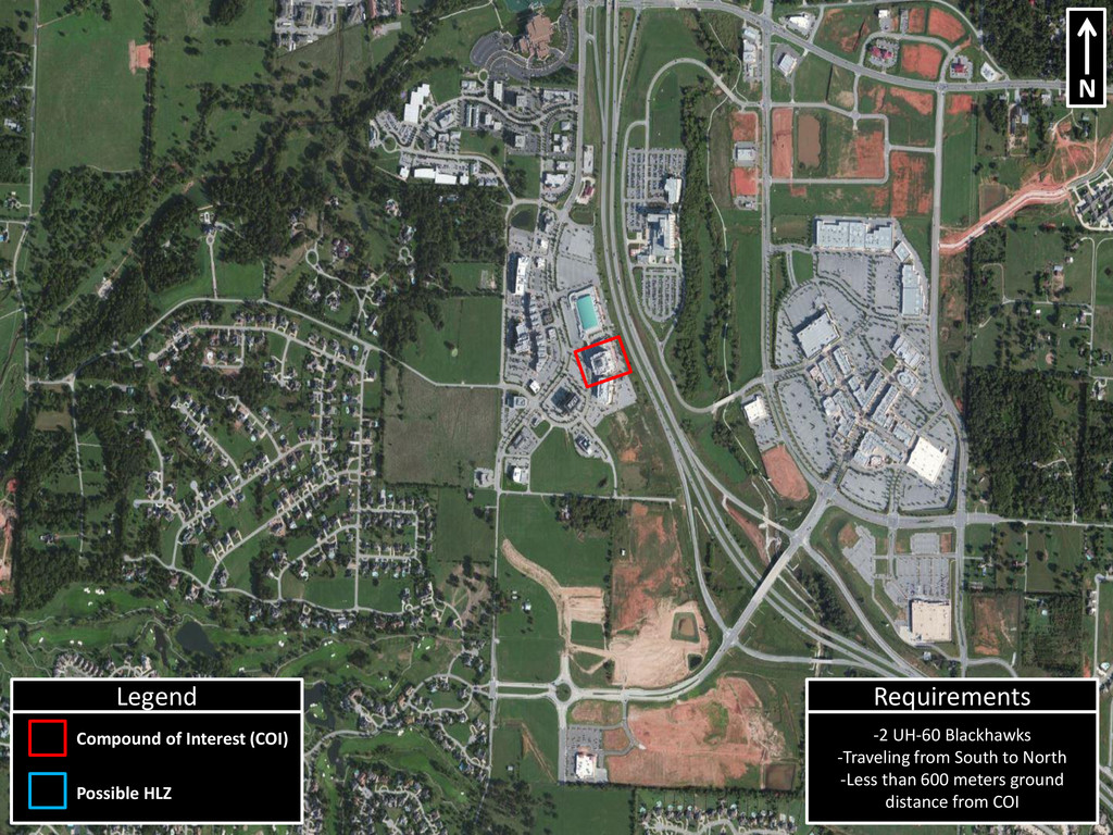
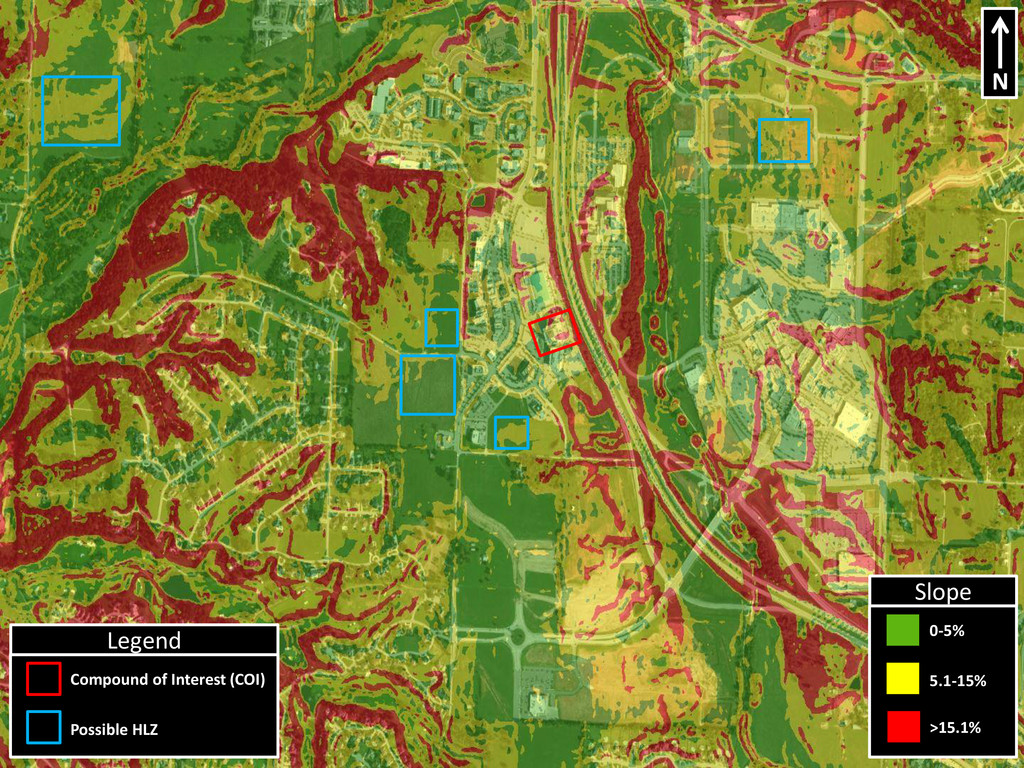
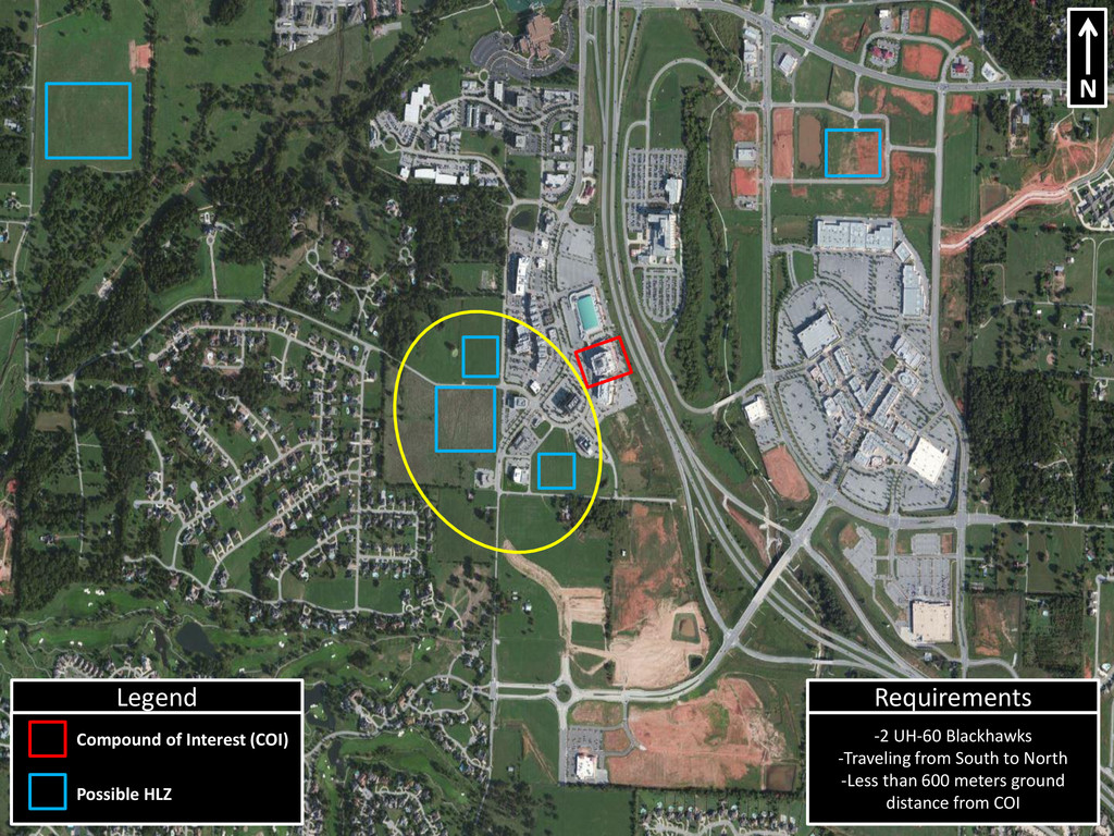
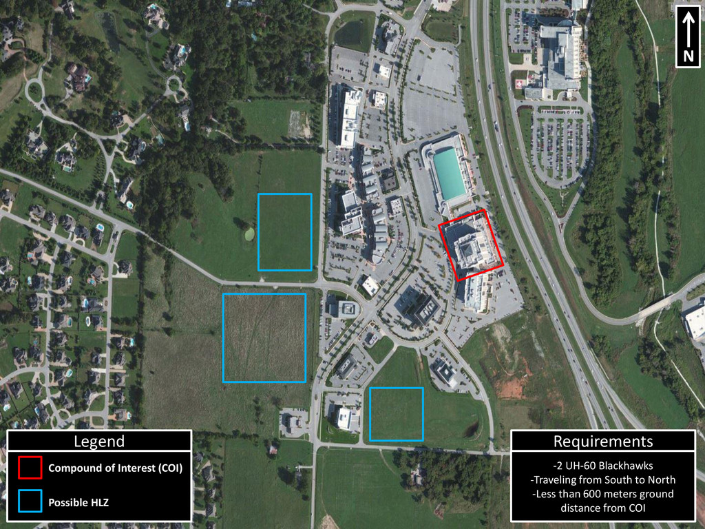
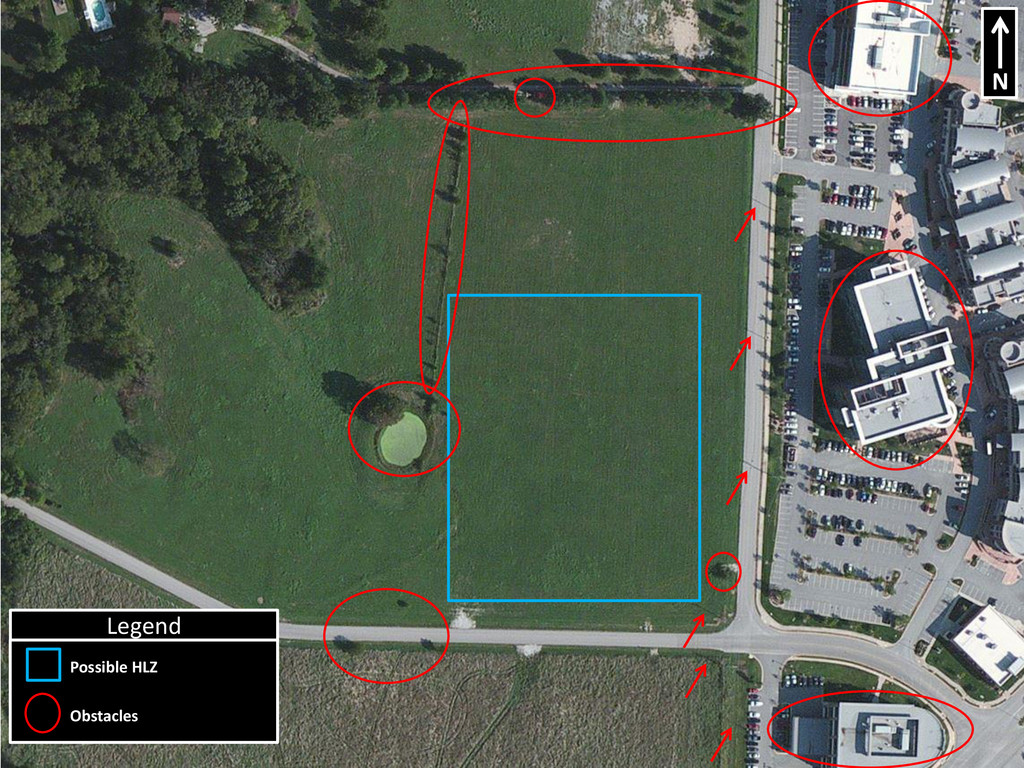
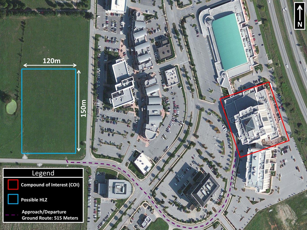
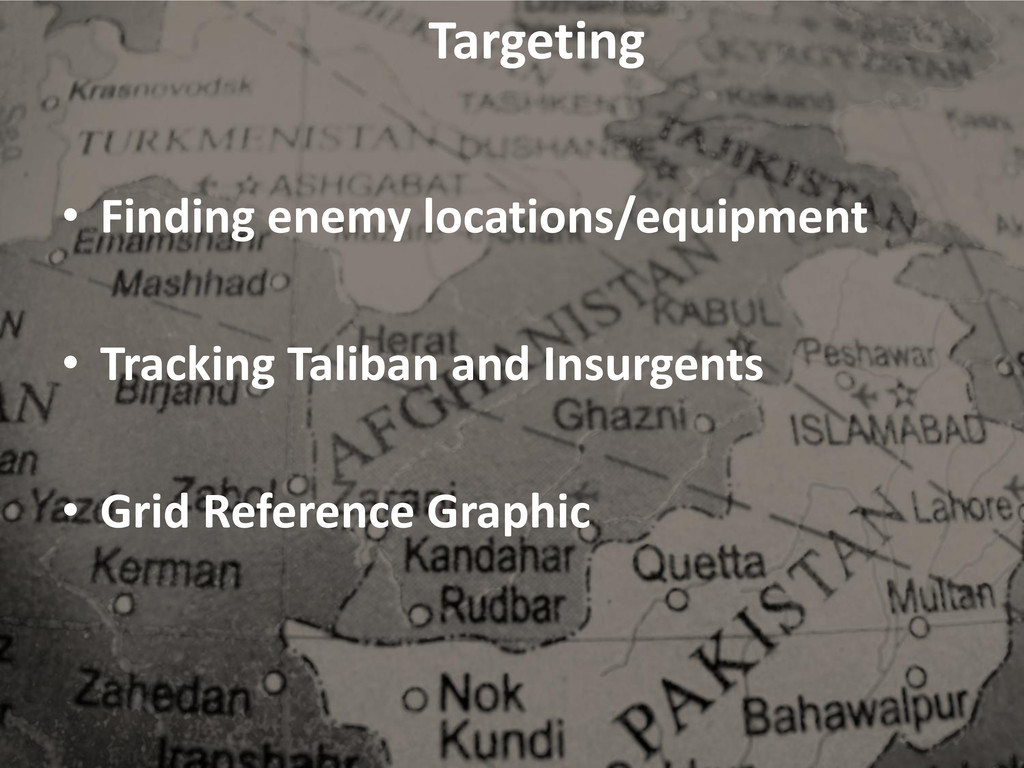
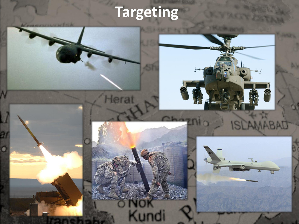
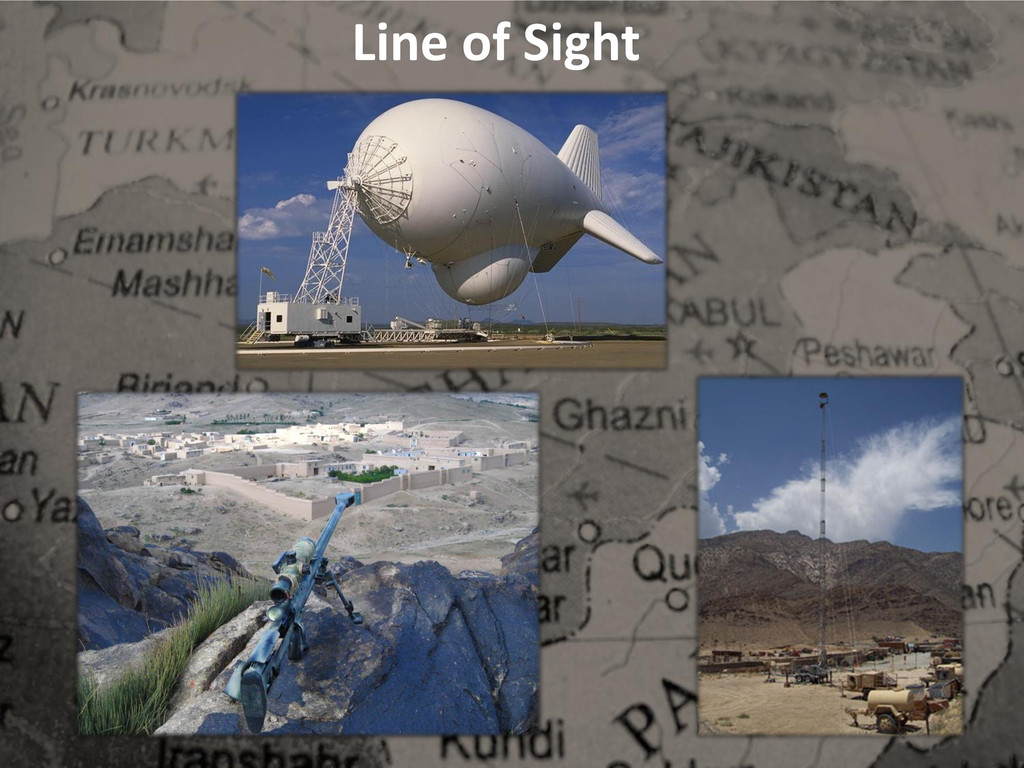
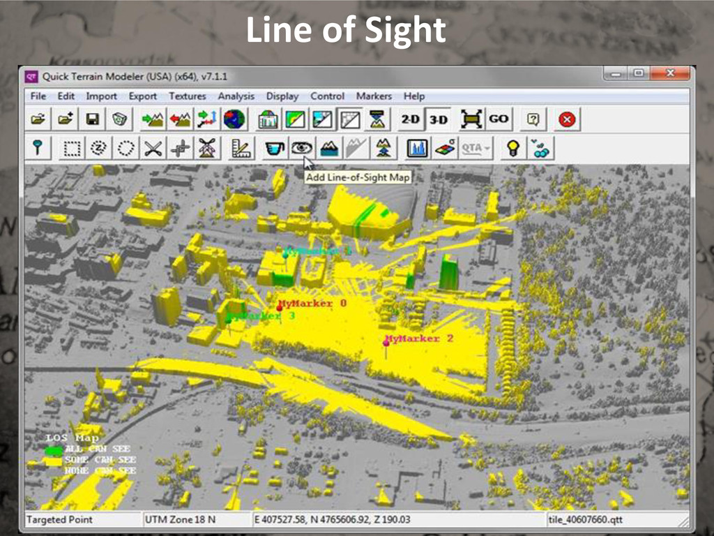
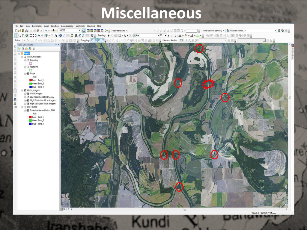
GIS is used on the modern battlefield to analyze and study helicopter landing zones, compounds
of interest, line of sight assessments, engineering projects, route planning, damage assessments
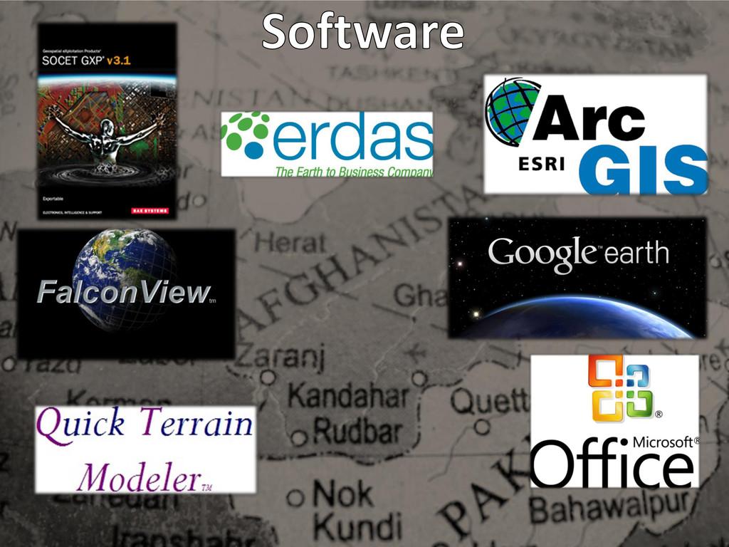
and many more. With such an assortment of projects and data, GIS analysts who support military
operations must become proficient with a variety of software programs and applications. Ultimately,
with the collaboration of different military branches and government agencies, GIS paints a complete
picture of the battlefield for leaders and policy makers alike.
![Seth LeMaster, GIS Lead Arkansas Geographic Information Office Email: [email protected]](https://files.speakerdeck.com/presentations/202f9e500bae0131c7607eb2be81de58/slide_1.jpg)
![Seth LeMaster, GIS Lead Arkansas Geographic Information Office Email: [email protected]](https://files.speakerdeck.com/presentations/202f9e500bae0131c7607eb2be81de58/slide_30.jpg)