Upgrade to Pro — share decks privately, control downloads, hide ads and more …

AAGW3 - Kindie Tesfaye - Application of Linking Crop Modeling with GIS for Technology Targeting

CGIAR-CSI
March 21, 2013

AAGW3 - Kindie Tesfaye - Application of Linking Crop Modeling with GIS for Technology Targeting

CGIAR-CSI

March 21, 2013
Tweet

More Decks by CGIAR-CSI

Other Decks in Research

Transcript

  1. Application of Linking Crop Modeling with GIS for Technology Targeting

    Kindie Tesfaye, Kai Sonder, Uran Chung Africa Agriculture GIS Week 11-15 March 2013 Addis Ababa
  2. The issue • Most technologies in agriculture are developed based

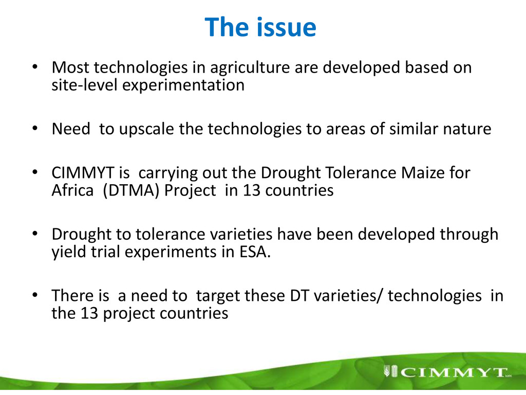
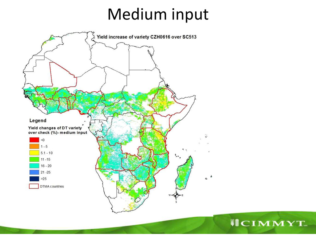
    on site-level experimentation • Need to upscale the technologies to areas of similar nature • CIMMYT is carrying out the Drought Tolerance Maize for Africa (DTMA) Project in 13 countries • Drought to tolerance varieties have been developed through yield trial experiments in ESA. • There is a need to target these DT varieties/ technologies in the 13 project countries
  3. Modeling approach DSSAT Crop Model Site/farm level simulation Site soil

    Daily site climate Crop Model calibration Model evaluation Evaluated DSSAT model 27 FAO soil groups Crop management Monthly gridded data Regional/global crop productivity under various climate models and technologies Evaluated DSSAT model daily pixel climate Weather generator Crop per MME GIS GIS Model Calibration & Evaluation Spatial modeling Dataase
  4. Model calibration and evaluation • Benchmark variety (SC513 • New

    DT varieties (CZH0616) • 72 site years for calibration • 96 site years for evaluation • Iterative calibration procedure • DT calibration – Leaf senescence – Root distribution – Temperature thresholds
  5. Spatial simulation • SPAM rained area of maize for masking

    • 5 arc-minute pixels • Simulation runs for 30 years
  6. Concluding Remarks • Well calibrated and evaluated crop models linked

    with GIS could be useful tools in technology targeting and scenario analysis • Calibration and evaluation of models at high spatial scale is still a challenge and requires cross-institutional and inter-disciplinary collaboration.