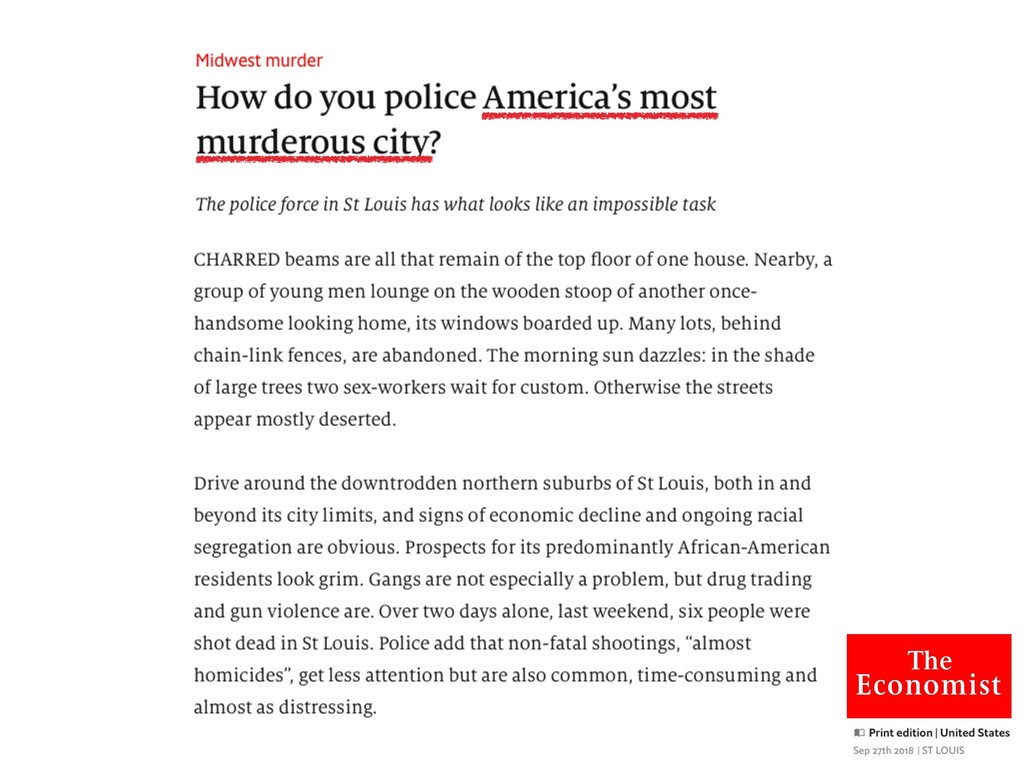
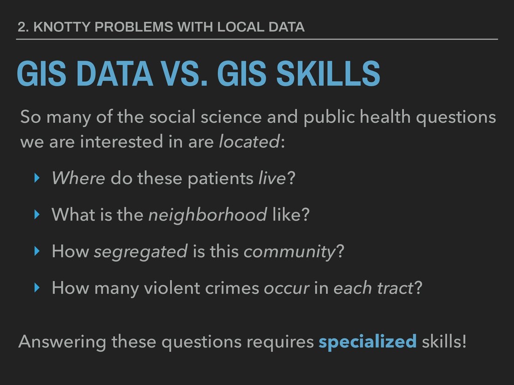
SKILLS So many of the social science and public health questions we are interested in are located: ‣ Where do these patients live? ‣ What is the neighborhood like? ‣ How segregated is this community? ‣ How many violent crimes occur in each tract? Answering these questions requires specialized skills!
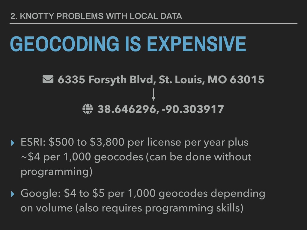
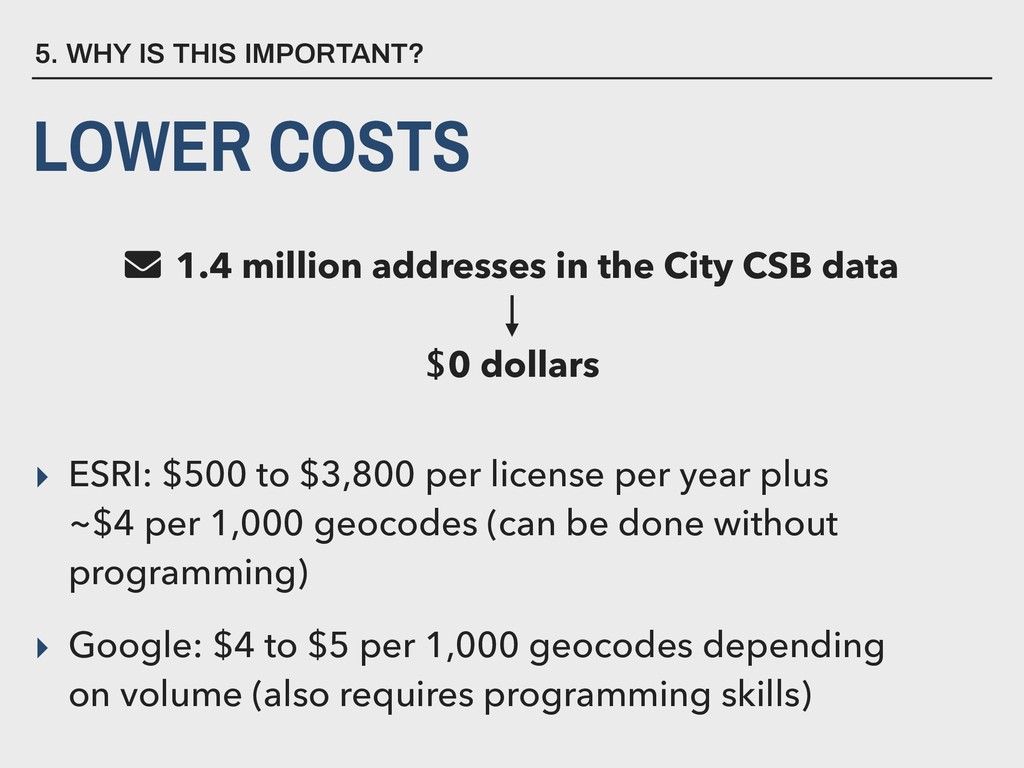
Forsyth Blvd, St. Louis, MO 63015 38.646296, -90.303917 ‣ ESRI: $500 to $3,800 per license per year plus ~$4 per 1,000 geocodes (can be done without programming) ‣ Google: $4 to $5 per 1,000 geocodes depending on volume (also requires programming skills)
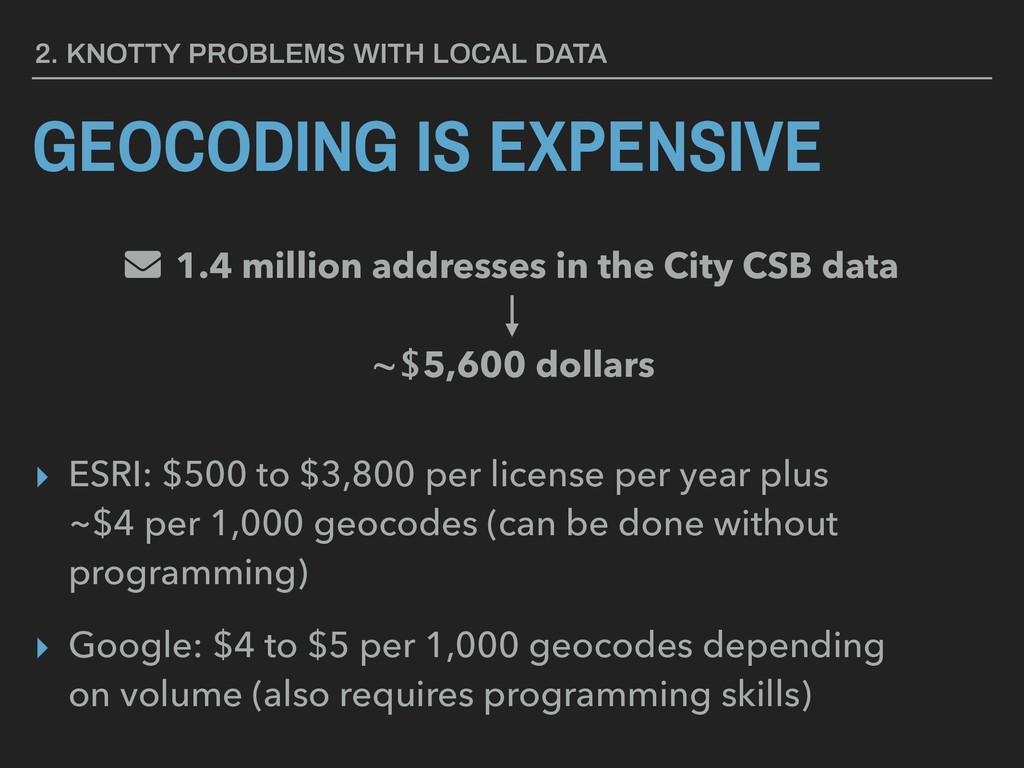
million addresses in the City CSB data ~$5,600 dollars ‣ ESRI: $500 to $3,800 per license per year plus ~$4 per 1,000 geocodes (can be done without programming) ‣ Google: $4 to $5 per 1,000 geocodes depending on volume (also requires programming skills)
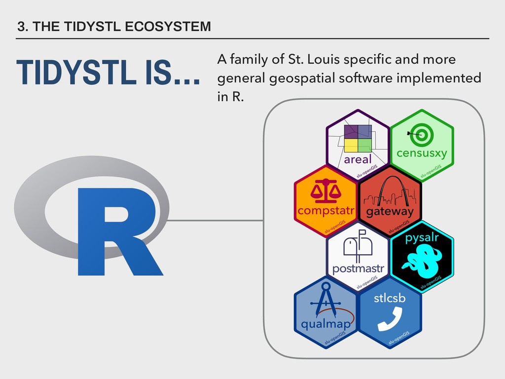
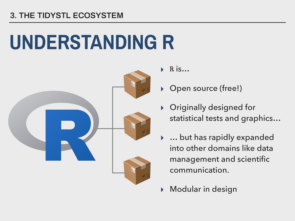
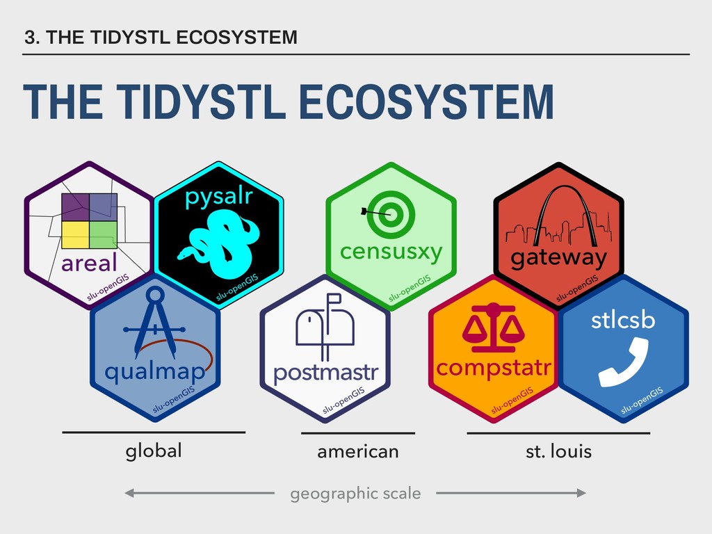
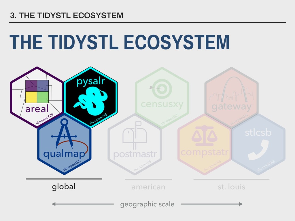
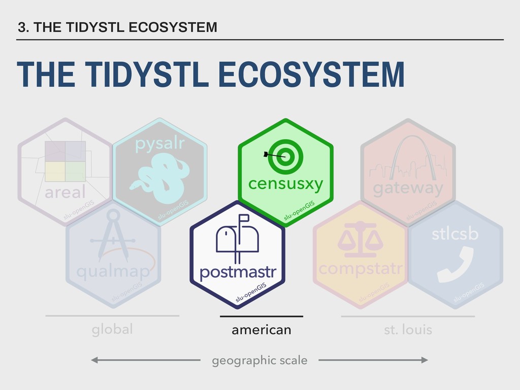
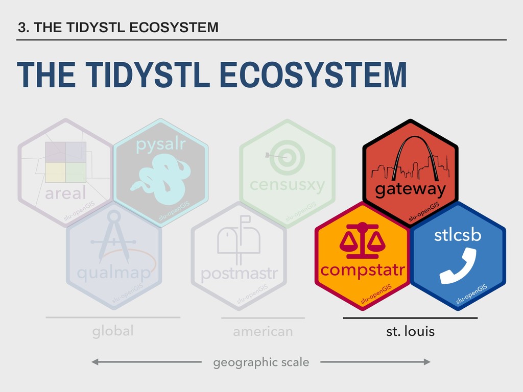
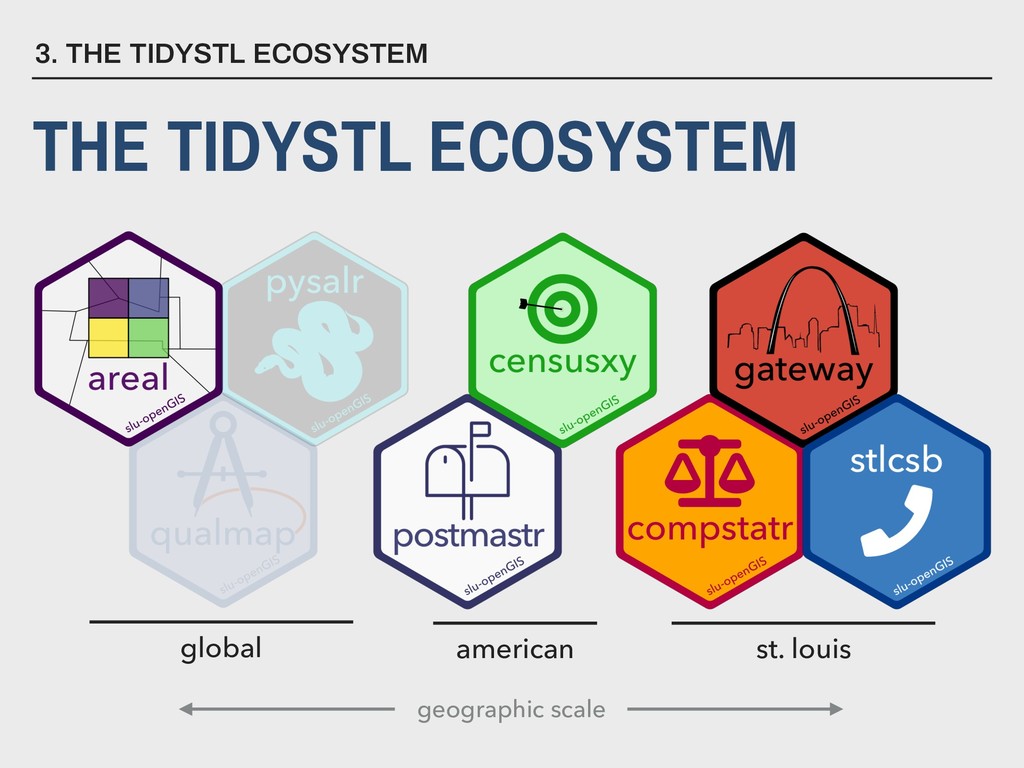
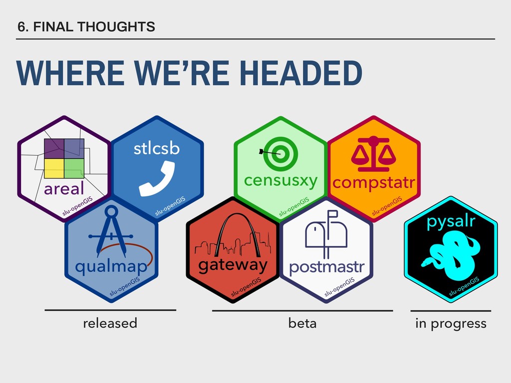
for statistical tests and graphics… ▸ … but has rapidly expanded into other domains like data management and scientific communication. 3. THE TIDYSTL ECOSYSTEM UNDERSTANDING R ▸ Modular in design
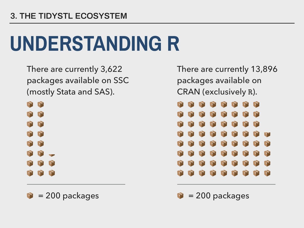
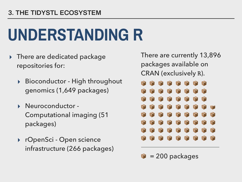
High throughout genomics (1,649 packages) ▸ Neuroconductor - Computational imaging (51 packages) ▸ rOpenSci - Open science infrastructure (266 packages) 3. THE TIDYSTL ECOSYSTEM UNDERSTANDING R = 200 packages There are currently 13,896 packages available on CRAN (exclusively R).
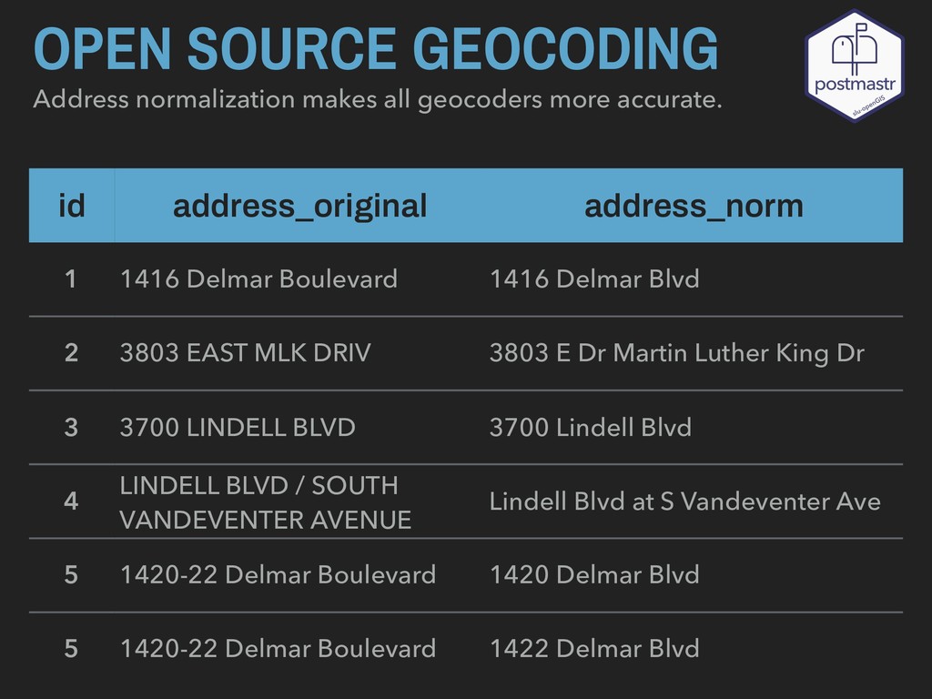
id 1 2 3 4 5 5 address_norm 1416 Delmar Blvd 3803 E Dr Martin Luther King Dr 3700 Lindell Blvd Lindell Blvd at S Vandeventer Ave 1420 Delmar Blvd 1422 Delmar Blvd
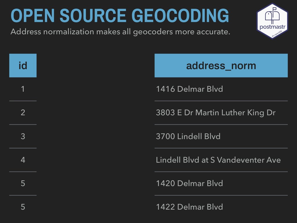
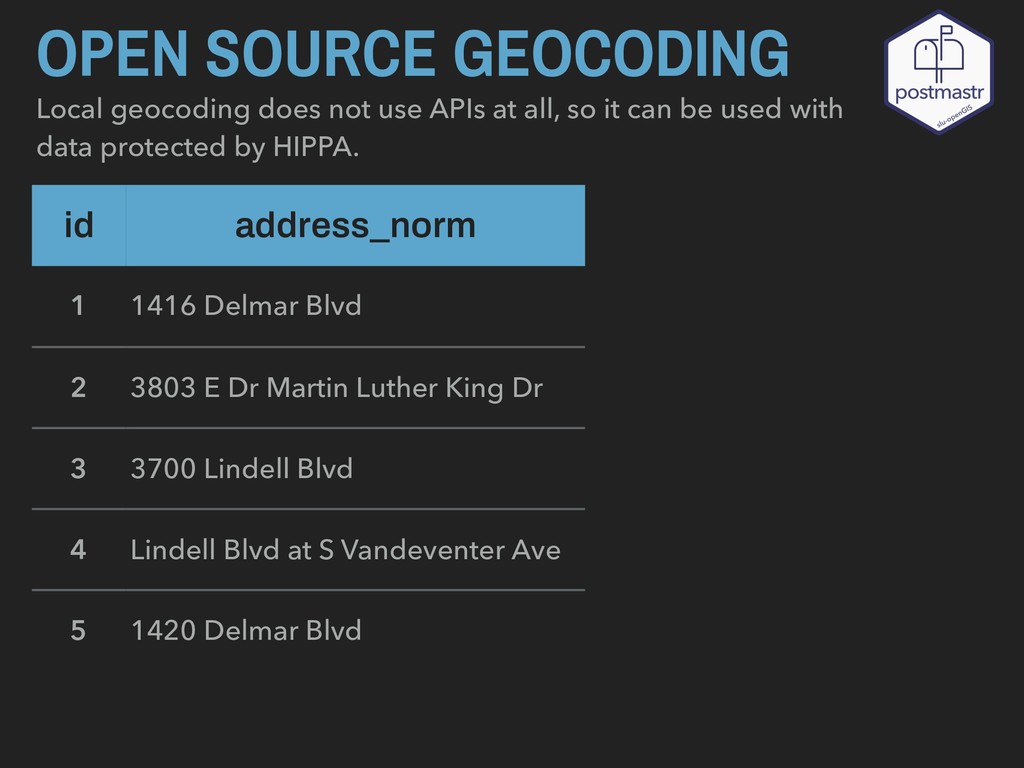
all, so it can be used with data protected by HIPPA. id address_norm 1 1416 Delmar Blvd 2 3803 E Dr Martin Luther King Dr 3 3700 Lindell Blvd 4 Lindell Blvd at S Vandeventer Ave 5 1420 Delmar Blvd
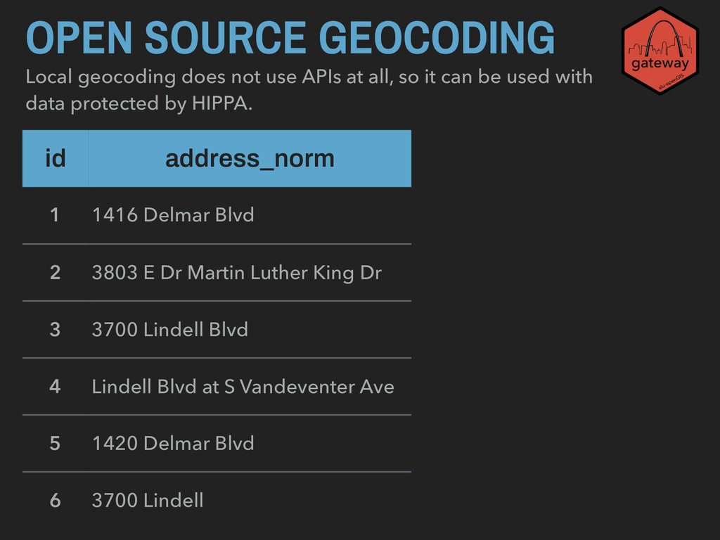
all, so it can be used with data protected by HIPPA. id address_norm 1 1416 Delmar Blvd 2 3803 E Dr Martin Luther King Dr 3 3700 Lindell Blvd 4 Lindell Blvd at S Vandeventer Ave 5 1420 Delmar Blvd 6 3700 Lindell
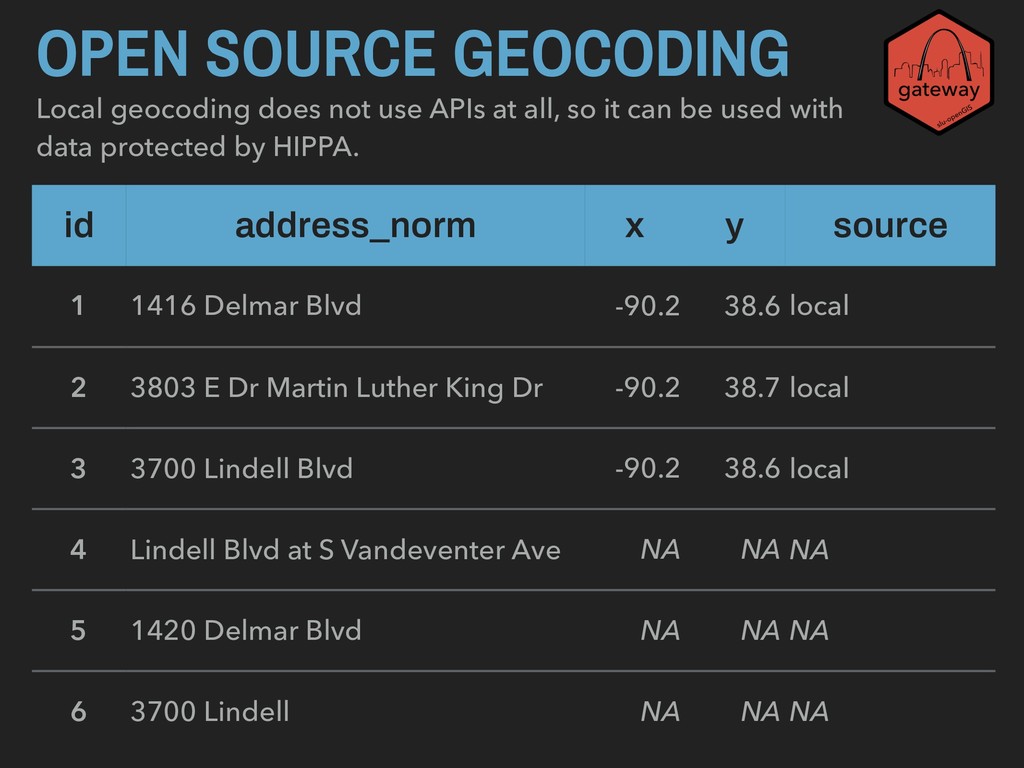
can be used with data protected by HIPPA. OPEN SOURCE GEOCODING id address_norm x y source 1 1416 Delmar Blvd -90.2 38.6 local 2 3803 E Dr Martin Luther King Dr -90.2 38.7 local 3 3700 Lindell Blvd -90.2 38.6 local 4 Lindell Blvd at S Vandeventer Ave NA NA NA 5 1420 Delmar Blvd NA NA NA 6 3700 Lindell NA NA NA
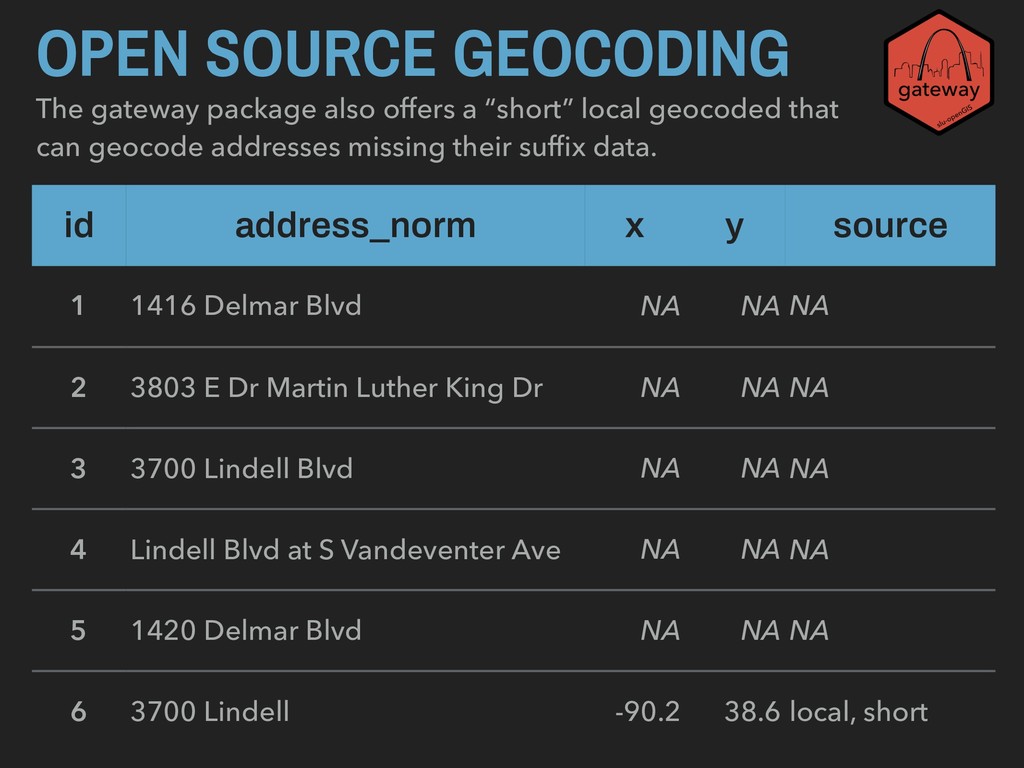
can geocode addresses missing their suffix data. OPEN SOURCE GEOCODING id address_norm x y source 1 1416 Delmar Blvd NA NA NA 2 3803 E Dr Martin Luther King Dr NA NA NA 3 3700 Lindell Blvd NA NA NA 4 Lindell Blvd at S Vandeventer Ave NA NA NA 5 1420 Delmar Blvd NA NA NA 6 3700 Lindell -90.2 38.6 local, short
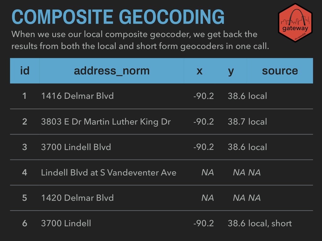
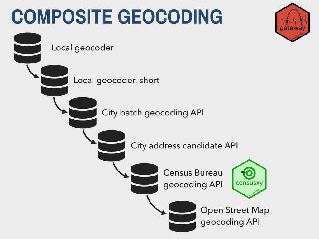
the results from both the local and short form geocoders in one call. COMPOSITE GEOCODING id address_norm x y source 1 1416 Delmar Blvd -90.2 38.6 local 2 3803 E Dr Martin Luther King Dr -90.2 38.7 local 3 3700 Lindell Blvd -90.2 38.6 local 4 Lindell Blvd at S Vandeventer Ave NA NA NA 5 1420 Delmar Blvd NA NA NA 6 3700 Lindell -90.2 38.6 local, short
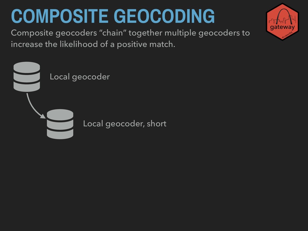
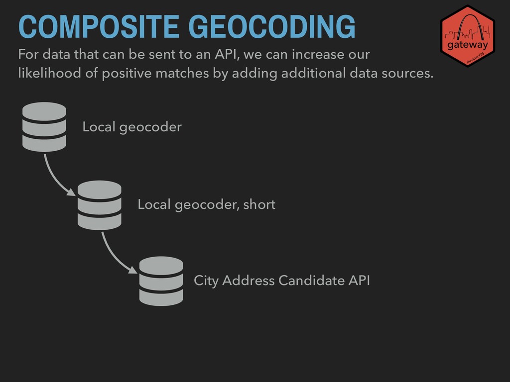
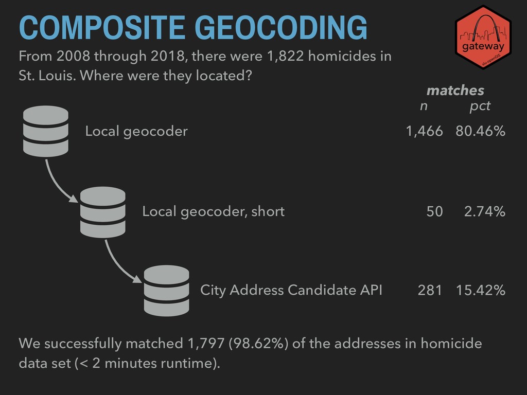
API, we can increase our likelihood of positive matches by adding additional data sources. Local geocoder Local geocoder, short City Address Candidate API
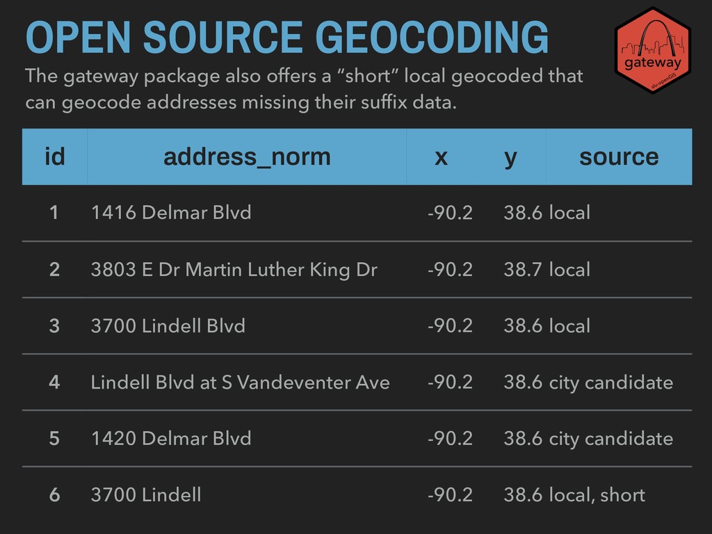
can geocode addresses missing their suffix data. OPEN SOURCE GEOCODING id address_norm x y source 1 1416 Delmar Blvd -90.2 38.6 local 2 3803 E Dr Martin Luther King Dr -90.2 38.7 local 3 3700 Lindell Blvd -90.2 38.6 local 4 Lindell Blvd at S Vandeventer Ave -90.2 38.6 city candidate 5 1420 Delmar Blvd -90.2 38.6 city candidate 6 3700 Lindell -90.2 38.6 local, short
in St. Louis. Where were they located? Local geocoder Local geocoder, short City Address Candidate API 1,466 80.46% 50 2.74% 281 15.42% n pct matches We successfully matched 1,797 (98.62%) of the addresses in homicide data set (< 2 minutes runtime).
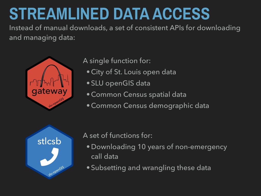
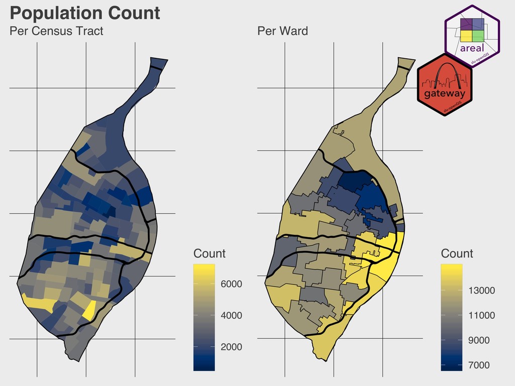
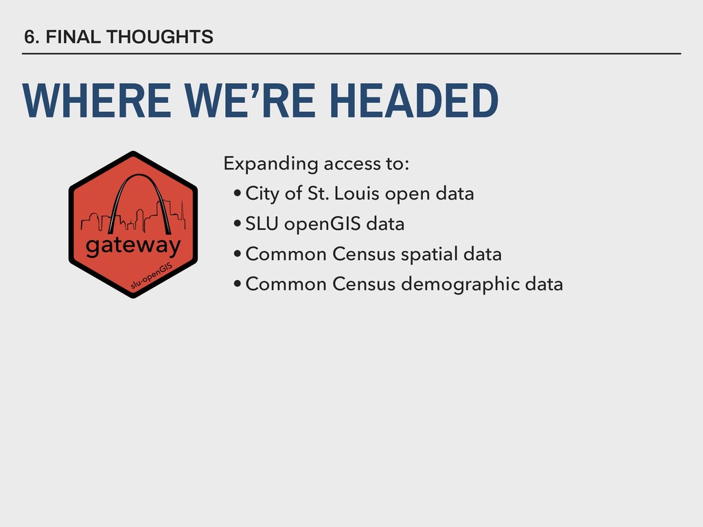
consistent APIs for downloading and managing data: A single function for: •City of St. Louis open data •SLU openGIS data •Common Census spatial data •Common Census demographic data A set of functions for: •Downloading 10 years of non-emergency call data •Subsetting and wrangling these data
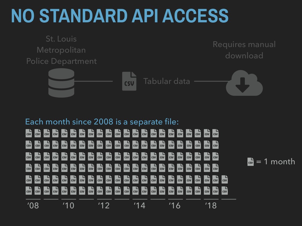
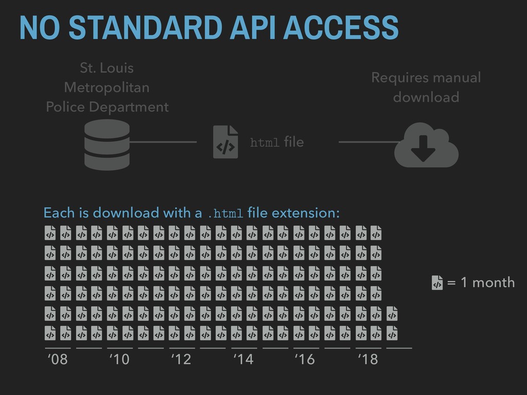
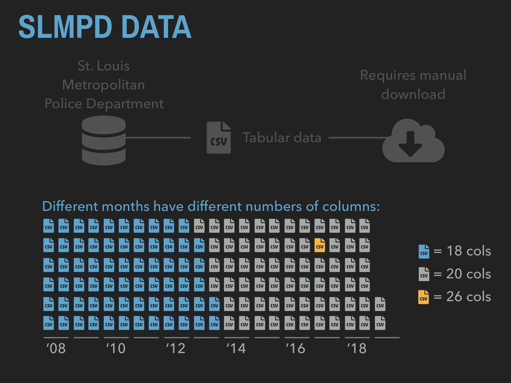
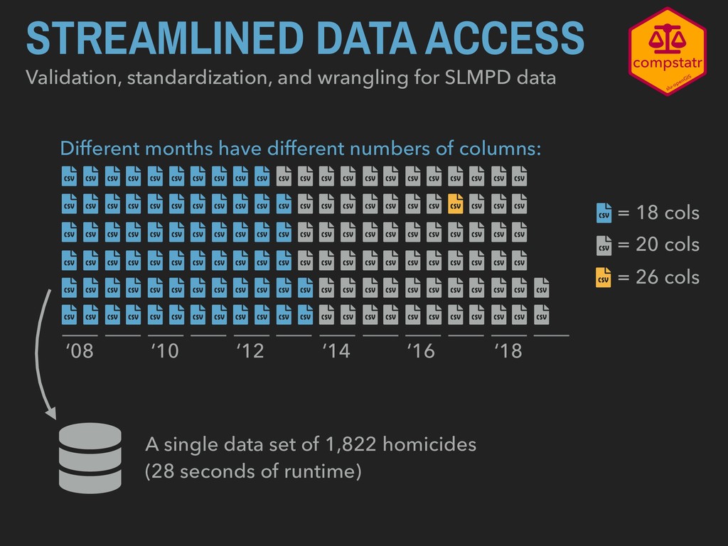
Different months have different numbers of columns: = 20 cols ‘08 ‘10 ‘12 ‘14 ‘16 ‘18 = 18 cols = 26 cols A single data set of 1,822 homicides (28 seconds of runtime)
in the City CSB data ~$5,600 dollars ‣ ESRI: $500 to $3,800 per license per year plus ~$4 per 1,000 geocodes (can be done without programming) ‣ Google: $4 to $5 per 1,000 geocodes depending on volume (also requires programming skills)
in the City CSB data $0 dollars ‣ ESRI: $500 to $3,800 per license per year plus ~$4 per 1,000 geocodes (can be done without programming) ‣ Google: $4 to $5 per 1,000 geocodes depending on volume (also requires programming skills)