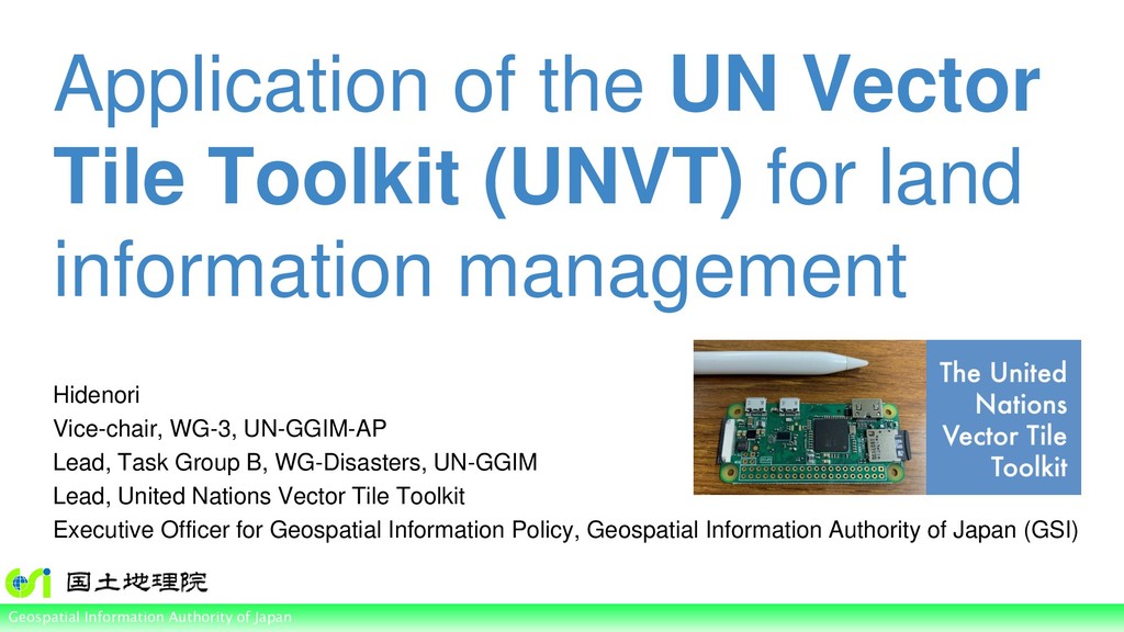
of Japan Application of the UN Vector Tile Toolkit (UNVT) for land information management Hidenori Vice-chair, WG-3, UN-GGIM-AP Lead, Task Group B, WG-Disasters, UN-GGIM Lead, United Nations Vector Tile Toolkit Executive Officer for Geospatial Information Policy, Geospatial Information Authority of Japan (GSI)
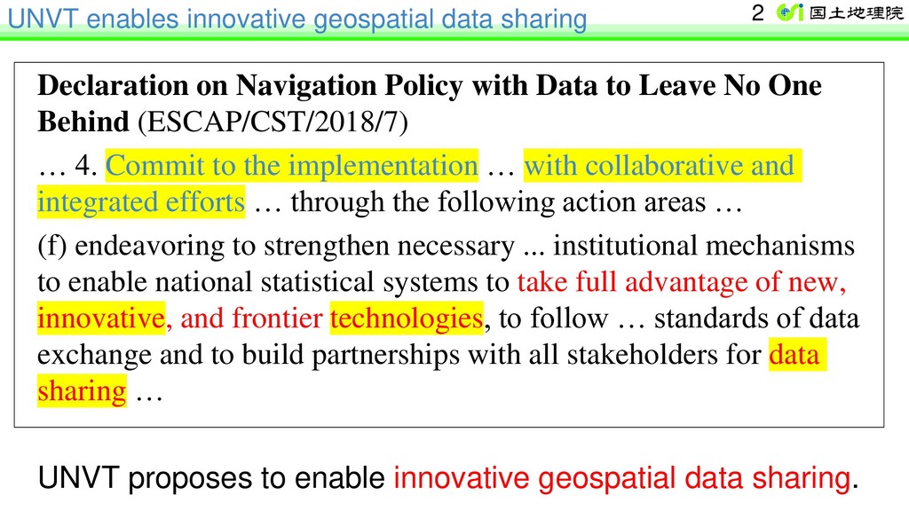
with Data to Leave No One Behind (ESCAP/CST/2018/7) … 4. Commit to the implementation … with collaborative and integrated efforts … through the following action areas … (f) endeavoring to strengthen necessary ... institutional mechanisms to enable national statistical systems to take full advantage of new, innovative, and frontier technologies, to follow … standards of data exchange and to build partnerships with all stakeholders for data sharing … UNVT proposes to enable innovative geospatial data sharing. 2
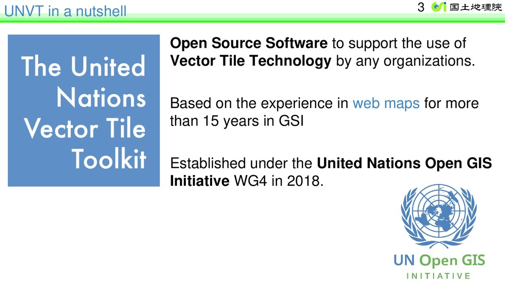
Technology by any organizations. Based on the experience in web maps for more than 15 years in GSI Established under the United Nations Open GIS Initiative WG4 in 2018. UNVT in a nutshell 3
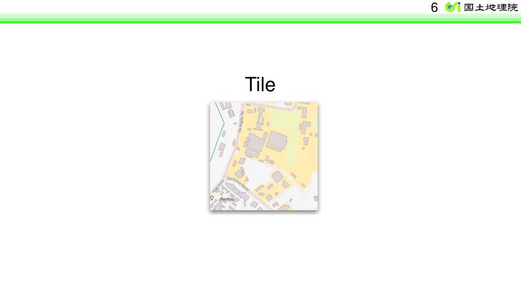
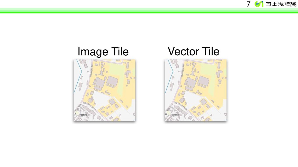
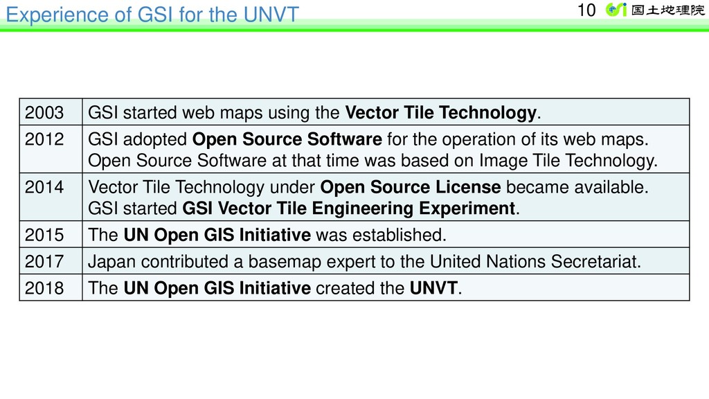
maps using the Vector Tile Technology. 2012 GSI adopted Open Source Software for the operation of its web maps. Open Source Software at that time was based on Image Tile Technology. 2014 Vector Tile Technology under Open Source License became available. GSI started GSI Vector Tile Engineering Experiment. 2015 The UN Open GIS Initiative was established. 2017 Japan contributed a basemap expert to the United Nations Secretariat. 2018 The UN Open GIS Initiative created the UNVT. 10
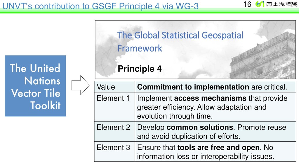
to implementation are critical. Element 1 Implement access mechanisms that provide greater efficiency. Allow adaptation and evolution through time. Element 2 Develop common solutions. Promote reuse and avoid duplication of efforts. Element 3 Ensure that tools are free and open. No information loss or interoperability issues. 16 Principle 4
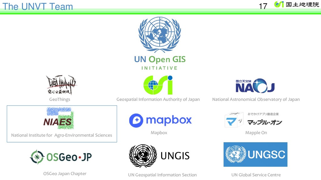
National Astronomical Observatory of Japan National Institute for Agro-Environmental Sciences Mapbox Mapple On OSGeo Japan Chapter UN Geospatial Information Section UN Global Service Centre 17
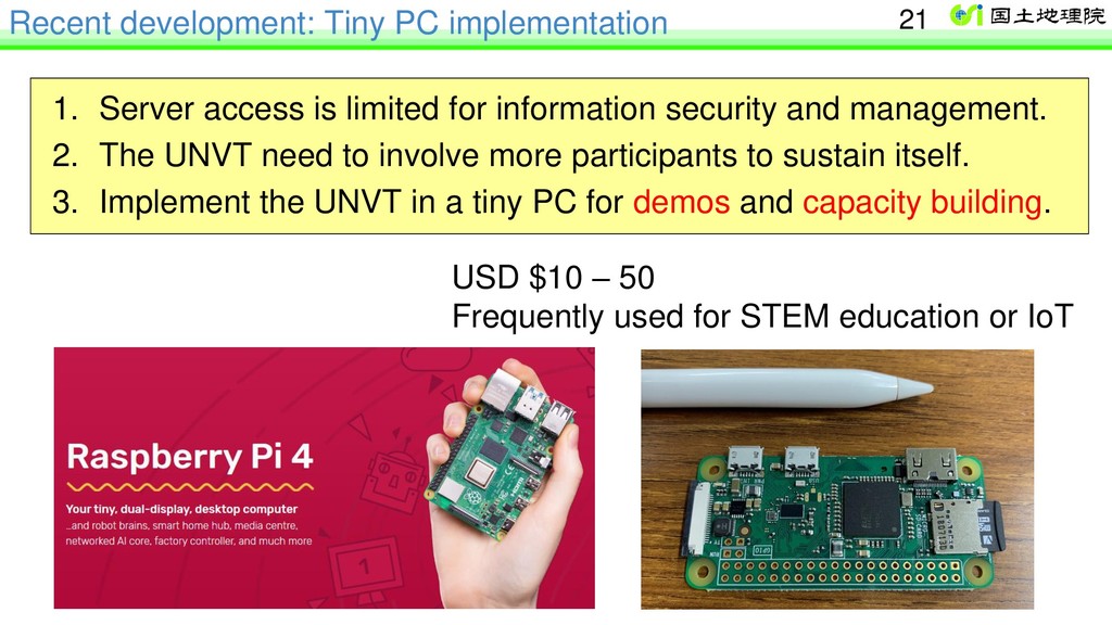
for information security and management. 2. The UNVT need to involve more participants to sustain itself. 3. Implement the UNVT in a tiny PC for demos and capacity building. USD $10 – 50 Frequently used for STEM education or IoT 21
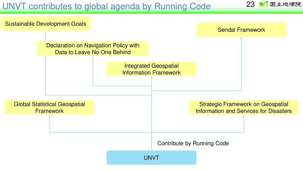
Development Goals Sendal Framework Integrated Geospatial Information Framework Global Statistical Geospatial Framework Strategic Framework on Geospatial Information and Services for Disasters Contribute by Running Code 23 Declaration on Navigation Policy with Data to Leave No One Behind
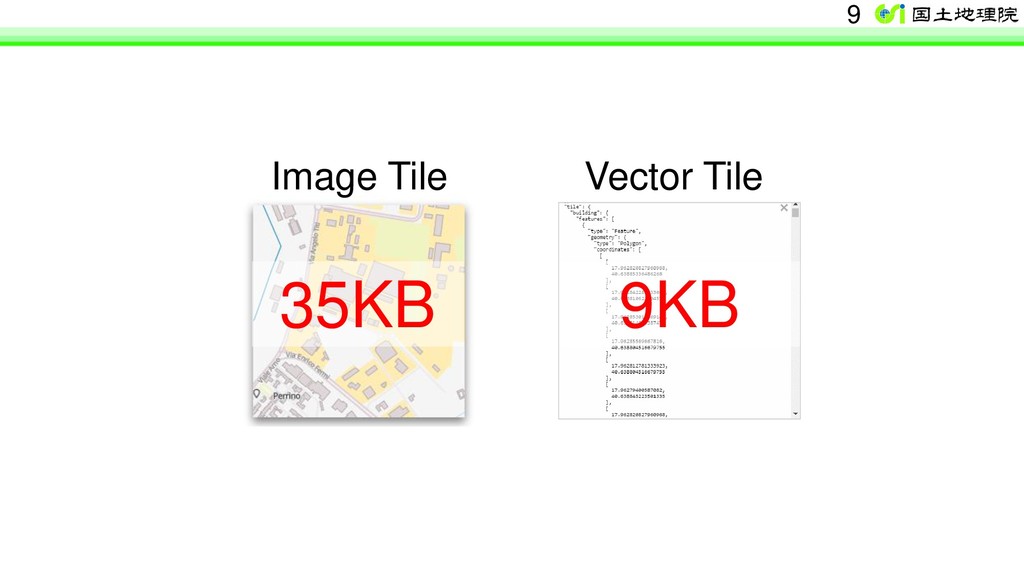
& project sustainability 2. Transparency and Accountability 3. More competition – cost reduction e.g. GSI provides 3 billion tiles per month without cost recovery. Serving 3 billion tiles using commercial service takes millions or ten millions of USD. Great cost reduction was possible by using general-purpose Cloud Service thanks to Open Source Software. 25
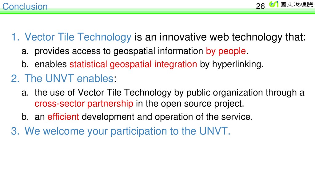
that: a. provides access to geospatial information by people. b. enables statistical geospatial integration by hyperlinking. 2. The UNVT enables: a. the use of Vector Tile Technology by public organization through a cross-sector partnership in the open source project. b. an efficient development and operation of the service. 3. We welcome your participation to the UNVT. 26
of Japan Application of the UN Vector Tile Toolkit (UNVT) for land information management Hidenori Vice-chair, WG-3, UN-GGIM-AP Lead, Task Group B, WG-Disasters, UN-GGIM Lead, United Nations Vector Tile Toolkit Executive Officer for Geospatial Information Policy, Geospatial Information Authority of Japan (GSI)