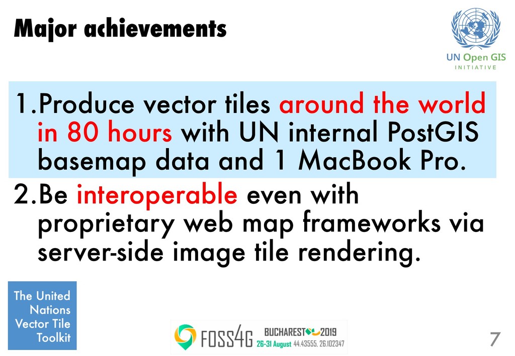
hours with UN internal PostGIS basemap data and 1 MacBook Pro. 2.Be interoperable even with proprietary web map frameworks via server-side image tile rendering. 6
hours with UN internal PostGIS basemap data and 1 MacBook Pro. 2.Be interoperable even with proprietary web map frameworks via server-side image tile rendering. 7
continuous update. 2. Computing infrastructure is not so abundant in public organizations. → We needed computationally efficient way to produce/update vector tiles. 3 tips… 8
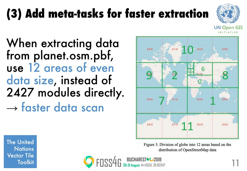
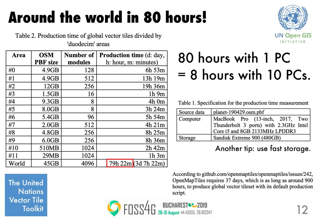
easier than 1 stream of 100GB or 10000 streams of 10MB. Design decisions: 1. Handle data by z=6 modules. 2. Process modules using a 2 to 5 concurrent task queue for efficient use of IO and CPU. 9
Nations Geospatial Information Section United Nations Global Service Centre Geospatial Information Authority of Japan Mapbox OSGeo Japan Chapter National Institute for Agro-Environmental Sciences
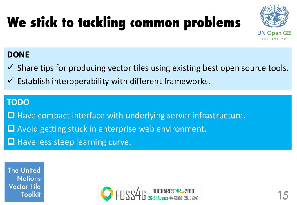
compact interface with underlying server infrastructure. p Avoid getting stuck in enterprise web environment. p Have less steep learning curve. DONE ü Share tips for producing vector tiles using existing best open source tools. ü Establish interoperability with different frameworks.
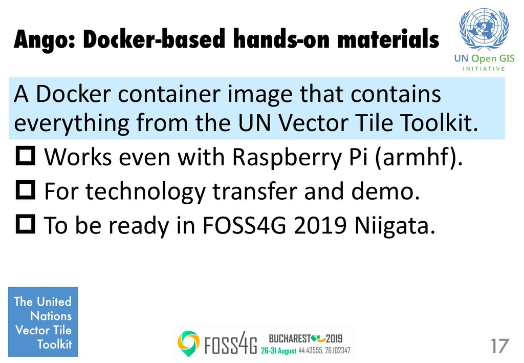
everything from the UN Vector Tile Toolkit. p Works even with Raspberry Pi (armhf). p For technology transfer and demo. p To be ready in FOSS4G 2019 Niigata. 17
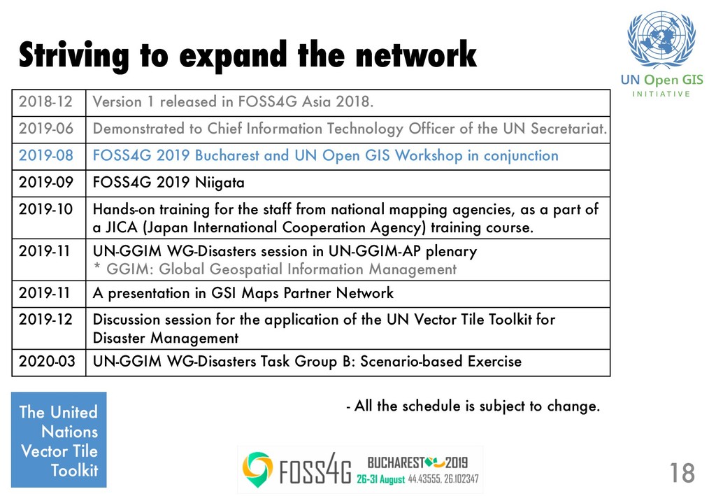
in FOSS4G Asia 2018. 2019-06 Demonstrated to Chief Information Technology Officer of the UN Secretariat. 2019-08 FOSS4G 2019 Bucharest and UN Open GIS Workshop in conjunction 2019-09 FOSS4G 2019 Niigata 2019-10 Hands-on training for the staff from national mapping agencies, as a part of a JICA (Japan International Cooperation Agency) training course. 2019-11 UN-GGIM WG-Disasters session in UN-GGIM-AP plenary * GGIM: Global Geospatial Information Management 2019-11 A presentation in GSI Maps Partner Network 2019-12 Discussion session for the application of the UN Vector Tile Toolkit for Disaster Management 2020-03 UN-GGIM WG-Disasters Task Group B: Scenario-based Exercise - All the schedule is subject to change.