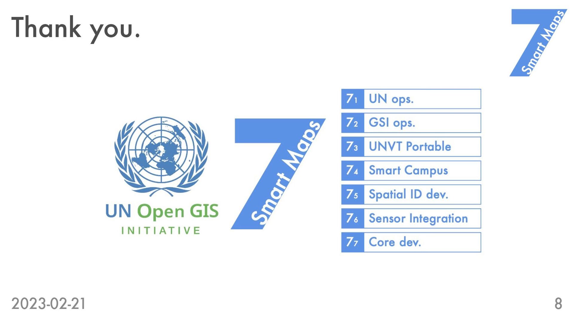
are Smart Maps? 2. [PoC] “InterPlanetary Operations” - Use of IPFS 3. [PoC] “Model United Nations Development and Operations” => All is for FOSS4G 2023 Prizren. * PoC (Proof of Concept): a realization of a certain method or idea in order to demonstrate its feasibility (source: Wikipedia) 2023-02-21 2
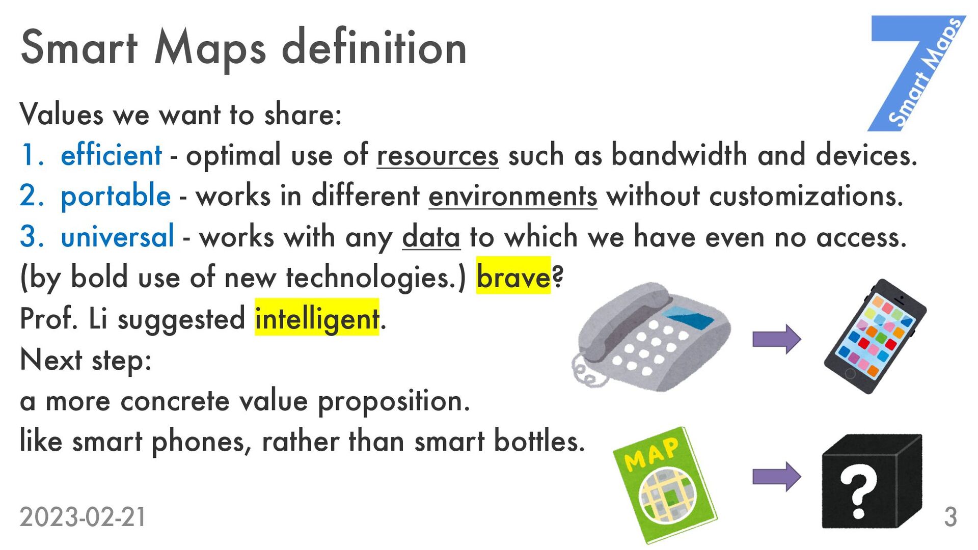
- optimal use of resources such as bandwidth and devices. 2. portable - works in different environments without customizations. 3. universal - works with any data to which we have even no access. (by bold use of new technologies.) brave? Prof. Li suggested intelligent. Next step: a more concrete value proposition. like smart phones, rather than smart bottles. 2023-02-21 3
without a server. [Our concept] 1. Publish cloud optimized data on InterPlanetary File System (IPFS). 2. Consume the data through our shared IPFS gateway. * IPFS - A peer-to-peer hypermedia protocol to make the web faster, safer, and more open. Frequently used in the “Web3” context. 2023-02-21 4
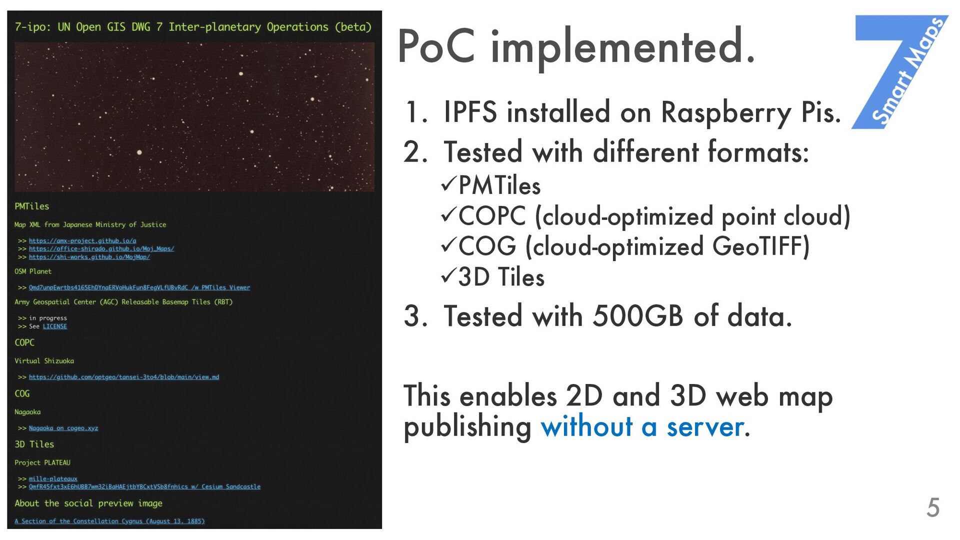
with different formats: üPMTiles üCOPC (cloud-optimized point cloud) üCOG (cloud-optimized GeoTIFF) ü3D Tiles 3. Tested with 500GB of data. This enables 2D and 3D web map publishing without a server. 2023-02-21 5
no direct access to the UN data and servers. [Our concept] 1. Like the Model United Nations, simulate the service Development and Operations using open-source information only. 2. Learn about the situation before ”getting real”. 2023-02-21 6
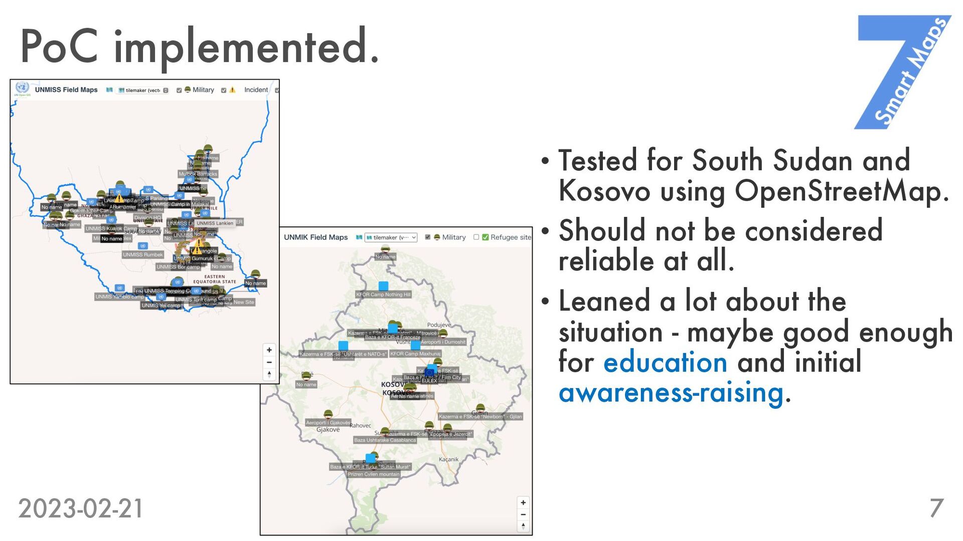
OpenStreetMap. • Should not be considered reliable at all. • Leaned a lot about the situation - maybe good enough for education and initial awareness-raising. 2023-02-21 7
![Updates from Tokyo 1. [Concept] “Smart Maps definition” - What](https://files.speakerdeck.com/presentations/7c1e2816b88742359d237bd1479da13d/slide_1.jpg)
![InterPlanetary Operations [Our pain point] Nobody can publish geospatial data](https://files.speakerdeck.com/presentations/7c1e2816b88742359d237bd1479da13d/slide_3.jpg)
![Model UN Development and Operations [Our pain point] We have](https://files.speakerdeck.com/presentations/7c1e2816b88742359d237bd1479da13d/slide_5.jpg)