$30 off During Our Annual Pro Sale. View Details »

GSI Activities and GSI Vector Map

GSI Activities and GSI Vector Map

2021-11-05T11:20/11:30+01:00 = T19:20/19:30+09:00
Regional Conference for Geospatial Information @ Zoom

Hidenori FUJIMURA

November 05, 2021
Tweet

More Decks by Hidenori FUJIMURA

Other Decks in Technology

Transcript

  1. GSI Activities and
    GSI Vector Map
    Hidenori Fujimura
    Geospatial Information Authority of Japan
    2021-11-05T11:20/11:30+01:00 = T19:20/19:30+09:00
    Regional Conference for Geospatial Information @ Zoom
    1

    View Slide

  2. Hidenori
    • Geospatial Information Authority of Japan (GSI)
    • Running GSI Maps - government-owned web maps - since 2003
    2

    View Slide

  3. GSI promotes Partnership
    through Geospatial Information
    as a part of SDGs Action Plan of the
    Government of Japan.
    3

    View Slide

  4. Partnership through Geospatial Information 4
    Client Goal
    Geospatial
    Authority
    Geospatial
    Expertise
    achieve

    View Slide

  5. Partnership through Geospatial Information 5
    Client Goal
    Geospatial
    Authority
    Geospatial
    Expertise
    achieve
    know
    know

    View Slide

  6. United Nations Vector Tile Toolkit (UNVT):
    a vehicle of Partnership 
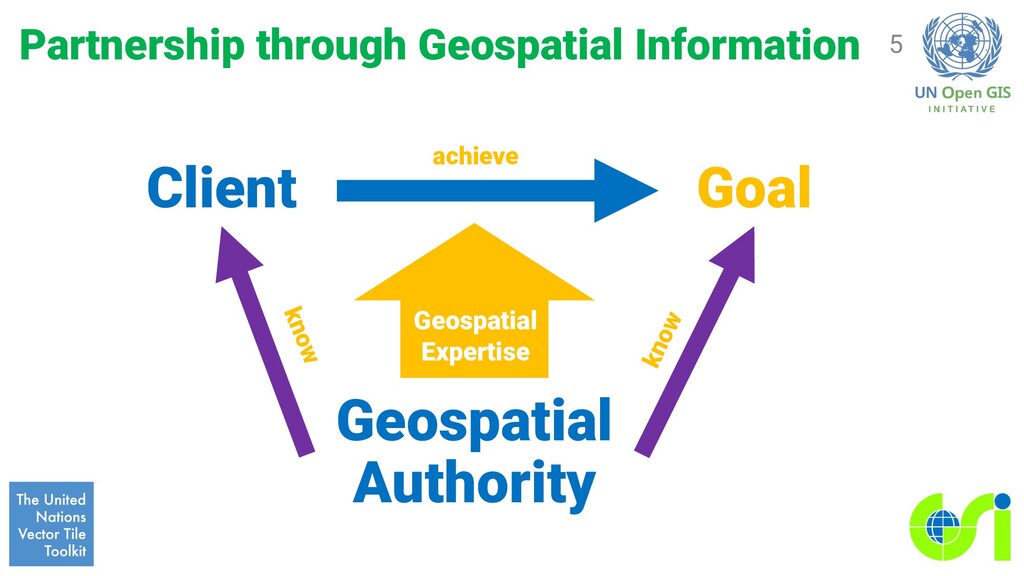
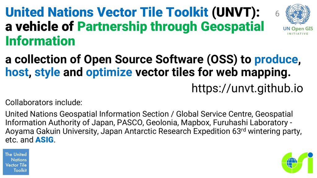
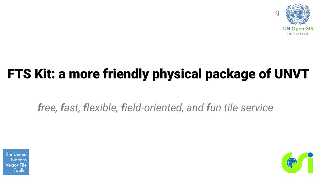
through Geospatial
    Information
    a collection of Open Source Software (OSS) to produce,
    host, style and optimize vector tiles for web mapping.
    https://unvt.github.io
    Collaborators include:
    United Nations Geospatial Information Section / Global Service Centre, Geospatial
    Information Authority of Japan, PASCO, Geolonia, Mapbox, Furuhashi Laboratory -
    Aoyama Gakuin University, Japan Antarctic Research Expedition 63rd wintering party,
    etc. and ASIG.
    6

    View Slide

  7. produce - 3D
    host - FTS
    style - charites
    optimize
    use - storytelling
    New developments
    in UNVT
    7

    View Slide

  8. Web mapping of point cloud (LAS) data
    https://x.optgeo.org/kid-a
    pow
    er line
    8

    View Slide

  9. 9
    FTS Kit: a more friendly physical package of UNVT
    free, fast, flexible, field-oriented, and fun tile service

    View Slide

  10. FTS Kit
    SSH
    DNS
    Let’s Encrypt
    NFS
    HTTP/2
    Tiles &
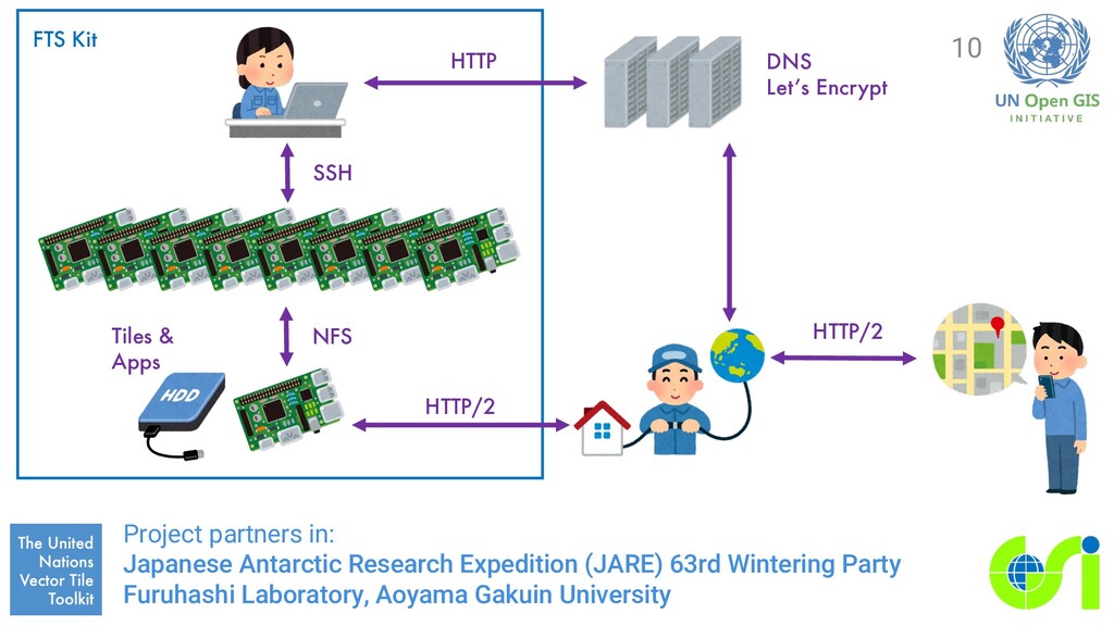
    Apps
    HTTP/2
    HTTP
    Project partners in:
    Japanese Antarctic Research Expedition (JARE) 63rd Wintering Party
    Furuhashi Laboratory, Aoyama Gakuin University
    10

    View Slide

  11. FTS Kit works even from
    home
    11
    Demo - up and running:
    https://x.optgeo.org/kid-c

    View Slide

  12. FTS Kit: concept 12
    FTS Kit
    USB 5V

    View Slide

  13. FTS Kit: status
    Launch customer: Japan Antarctic Research Expedition
    (63rd 
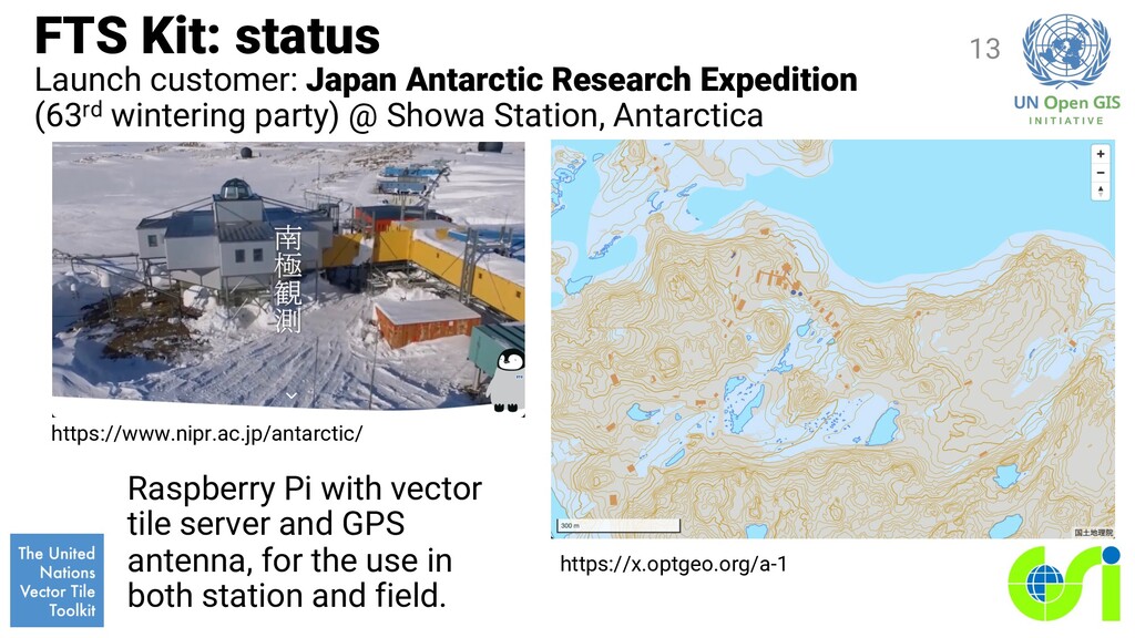
wintering party) @ Showa Station, Antarctica
    https://www.nipr.ac.jp/antarctic/
    Raspberry Pi with vector
    tile server and GPS
    antenna, for the use in
    both station and field.
    https://x.optgeo.org/a-1
    13

    View Slide

  14. Thanks.
    Let’s keep combining our efforts.
    14

    View Slide