Upgrade to Pro — share decks privately, control downloads, hide ads and more …

Rekichizu: Designing Modern-Style Historical M...

Avatar for Hajime Kato Hajime Kato
September 03, 2026

Rekichizu: Designing Modern-Style Historical Maps to Preserve Cultural Memory

広島で行われたFOSS4G Hiroshima 2026での「れきちず」に関する発表スライドです。

※国立情報学研究所(NII)/情報・システム研究機構データサイエンス共同利用基盤施設(ROIS-DS)人文学オープンデータ共同利用センター(CODH)の北本朝展さんと共同登壇しました。

Avatar for Hajime Kato

Hajime Kato

September 03, 2026

More Decks by Hajime Kato

Other Decks in Technology

Transcript

  1. Rekichizu: Designing Modern-Style Historical Maps to Preserve Cultural Memory 2026.09.03

    FOSS4G Hiroshima Hajime Kato (MIERUNE), Asanobu Kitamoto (CODH, NII)
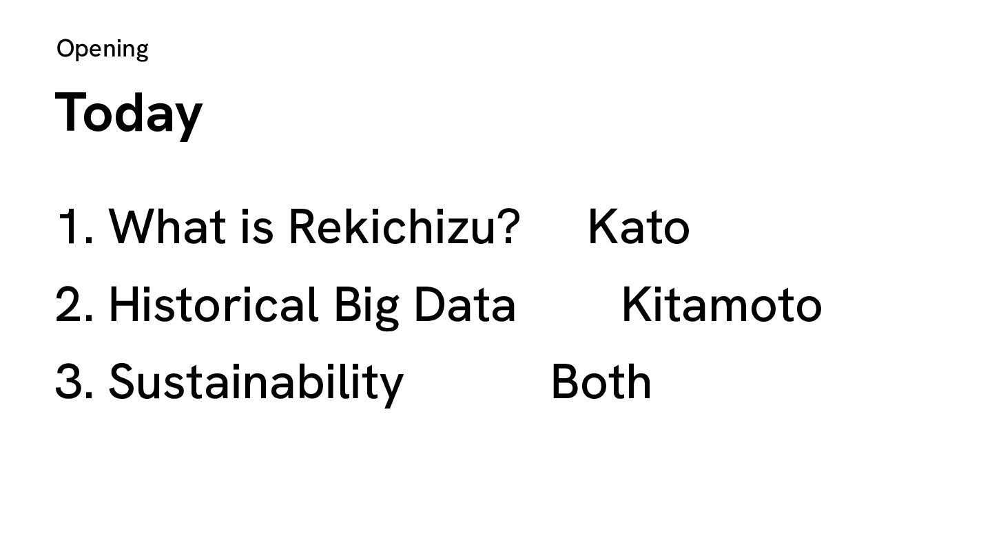
  2. Opening Today 1. What is Rekichizu? Kato 2. Historical Big

    Data Kitamoto 3. Sustainability Both
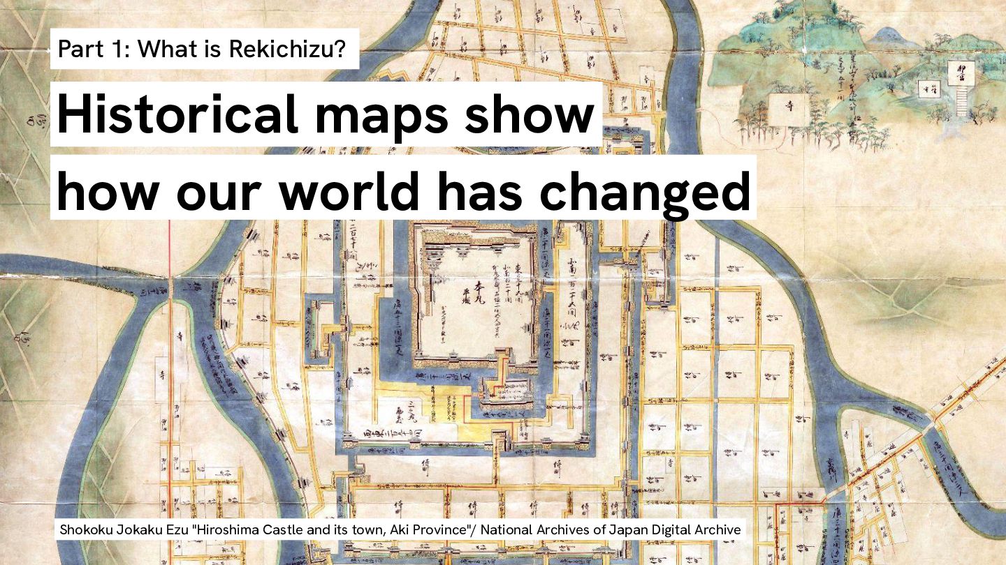
  3. Part 1: What is Rekichizu? Historical maps show how our

    world has changed Shokoku Jokaku Ezu "Hiroshima Castle and its town, Aki Province"/ National Archives of Japan Digital Archive
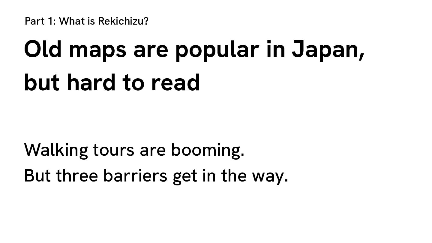
  4. Part 1: What is Rekichizu? Old maps are popular in

    Japan, but hard to read Walking tours are booming. But three barriers get in the way.
  5. Part 1: What is Rekichizu? Barrier 1: Unreadable script Written

    in cursive brushstrokes. Even Japanese readers cannot read it today. Tempo Kuniezu "Aki-no-kuni" / National Archives of Japan Digital Archive
  6. Part 1: What is Rekichizu? Barrier 2: Inconsistent orientation Place

    names face different directions. There is no single way up. "Tsukiji Hatchobori Nihonbashi-minami Ezu" / National Diet Library Digital Collections
  7. Part 1: What is Rekichizu? Barrier 3: Distorted landforms Coastlines

    and borders do not match modern maps. They can’t be aligned. Tempo Kuniezu "Aki-no-kuni" / National Archives of Japan Digital Archive
  8. Part 1: What is Rekichizu? A familiar style solves all

    three The visual language of modern digital maps
  9. Part 1: What is Rekichizu? Reconstructed and made readable "Nihonbashi

    Kita Kanda Hamamacho Ezu" / National Diet Library Digital Collection
  10. Part 1: What is Rekichizu? It started as a personal

    project A social media post in 2019 got an unexpected response Twitter (X.com)
  11. Part 1: What is Rekichizu? A hobby cannot scale •

    2019.03 A single image posted online • 2023.08 Released as a personal project • 2024.05 Moved to MIERUNE • 2024.08 Joint research with CODH • 2025.04 Map site for a historical novel
  12. Part 1: What is Rekichizu? What Rekichizu can do today

    • 3D view • Map comparison • GPS mode • Readable in English
  13. Part 1: What is Rekichizu? Why not OpenHistoricalMap? • OHM

    needs public domain sources, but Japanese old maps are not open data • Pre-Edo maps are too rough to trace
  14. Part 1: What is Rekichizu? Built by hand in QGIS

    Old maps for reference, modern maps as the base From 400+ historical sources
  15. Part 1: What is Rekichizu? Which places mattered in the

    past? Not today's tourist spots. Places people actually visited 200 years ago. Sources: ukiyo-e prints, Edo-period guidebooks Hiroshige "Tokaido Gojusan-tsugi Saiken Zue: Hodogaya" / National Diet Library Digital Collection
  16. Part 1: What is Rekichizu? Where the data comes from

    • Rekichizu: 35,000+ km of roads, 6,300+ POIs • CODH: 80,000+ historical place names, coastlines
  17. Part 1: What is Rekichizu? Built with open source, published

    as open data • QGIS: data creation • MapLibre GL JS: frontend • Maputnik: style design Datasets we made with CODH: CC BY
  18. Historical Big Data (HBD) Project https://codh.rois.ac.jp/historical-big-data/ Weather Nature data Earthquake

    Culture data Population Historical sources Data from Eruption many sources Data Disease structuring are integrated Economy workflow for analysis. Politics Culture 2026/9/3 FOSS4G 2026 22
  19. Geography, Document and Toponym Geographic space Toponym (place name) Document

    space 1. Geographic space includes geometry such as a point or a polygon with their metadata. 2. Document space includes multimodal data such as text or image with regional descriptions. 3. Toponym (place name) connects the two spaces with various metadata (coordinates) about the place. 2026/9/3 FOSS4G 2026 23
  20. Georeferencing Old Maps Correspondence of GCP National Diet Library ”Edo

    Kiriezu” 2026/9/3 Ritsumeikan University Map Warper for Japanese FOSS4G 2026 Edo Maps + Map Warper tile service 25
  21. Edo Main Routes Dataset (with MIERUNE) R004 R005 R002 37

    main routes (highways), 8360km. More routes to come. R003 R001 2026/9/3 FOSS4G 2026 28
  22. Historical Toponym Dataset (with Heibonsha) 2026/9/3 80,502 historical Toponyms from

    “Nihon Rekishi Chimei Taikei” (Heibonsha) FOSS4G 2026 29
  23. With Heibonsha Edo Coast Dataset 30 Edo Lakes Dataset Constructed

    by hand referring to multiple historical sources 2026/9/3 FOSS4G 2026
  24. Historical Big Data Open Research Platform Open Data Place POI

    Road Coast Others Open Research Data Travel Commerce Politics Disaster Culture Open Research Platform Historical maps (Rekichizu) + modern maps Open-source software tools (use + build) 2026/9/3 FOSS4G 2026 32
  25. 27th CODH Seminar Creating and Using Historical Big Data: Handcrafting

    Processes and Digital Tools for Data 第27回CODHセミナー 歴史ビッグデータの作り方と使い方~ データを手作りするプ ロセスとデジタルツール~ September 18, 2026 Hybrid, Registration required https://codh.rois.ac.jp/seminar/historical-big-data-202609 18/ 2026/9/3 FOSS4G 2026 33
  26. Part 3: Sustainability & Closing Who builds this data, and

    keeps it? • Historical GIS is slow to build • Nobody can fund it forever • One person cannot cover a country Academia and industry, working together Results released as open data
  27. Part 3: Sustainability & Closing Where Rekichizu goes next The

    way people see the past More POIs, route search, earlier eras Sample of route search
  28. Part 3: Sustainability & Closing Thank you Rekichizu ROIS-DS (CODH)

    Hajime Kato (MIERUNE) Asanobu Kitamoto (CODH, NII)