Share
Embed
Timo Aarnio: Digital Sovereignty and GIS
By: Timo Aarnio, Chief Technical Officer, Gispo Finland Ltd
Mindtrek
October 13, 2026
Transcript
14 slides
-
Outline - About Gispo and the presenter - Digital Sovereignty
- GIS - Where are we now - What can we do 2 -
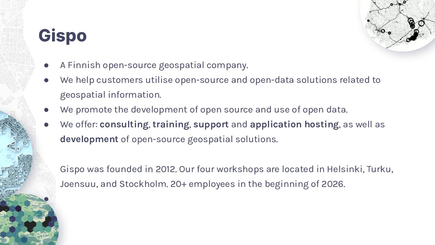
Gispo • A Finnish open-source geospatial company. • We help
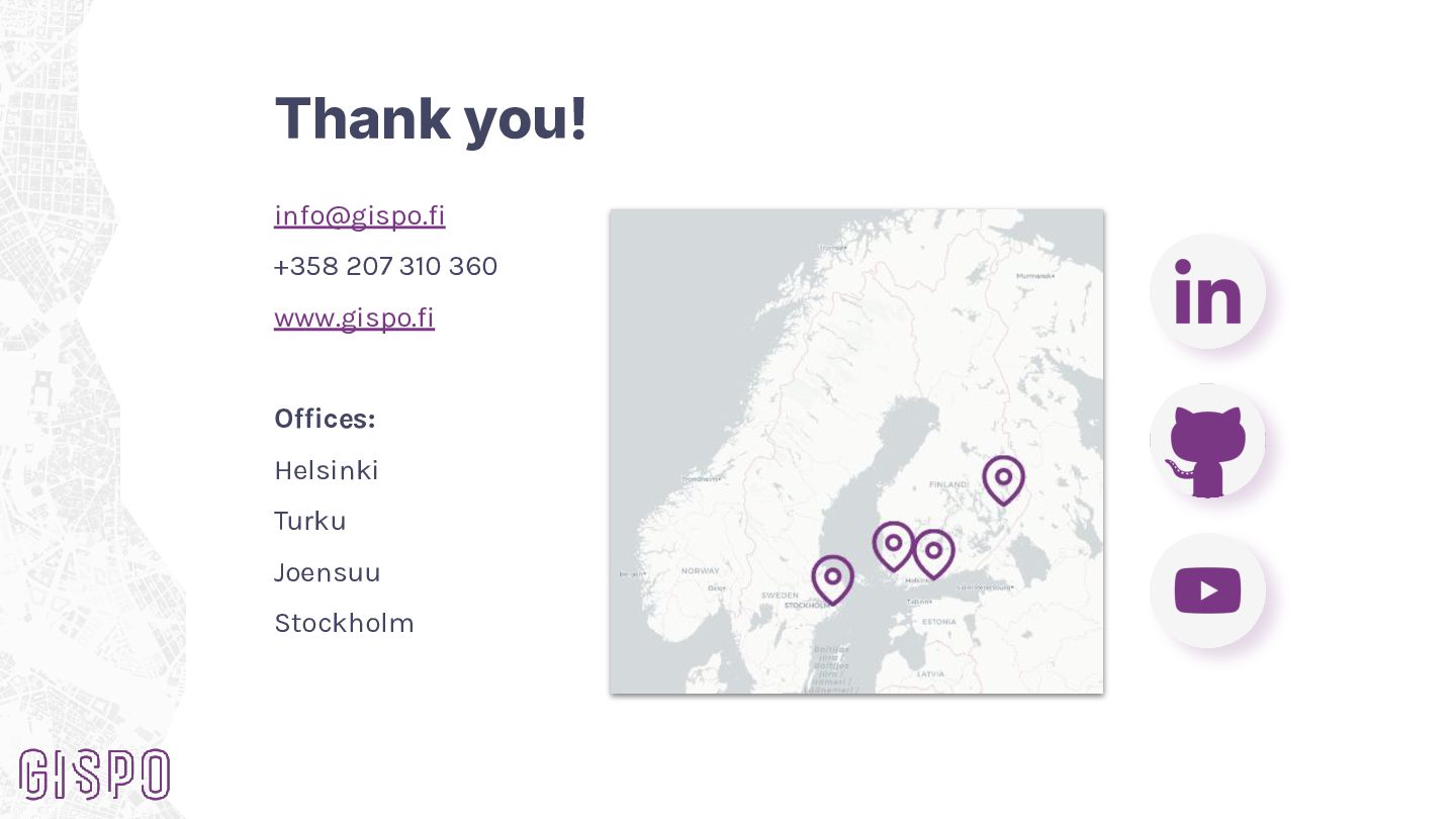
customers utilise open-source and open-data solutions related to geospatial information. • We promote the development of open source and use of open data. • We offer: consulting, training, support and application hosting, as well as development of open-source geospatial solutions. Gispo was founded in 2012. Our four workshops are located in Helsinki, Turku, Joensuu, and Stockholm. 20+ employees in the beginning of 2026. • -
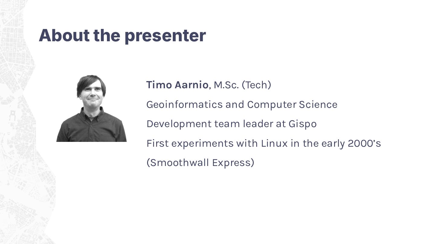
About the presenter Timo Aarnio, M.Sc. (Tech) Geoinformatics and Computer
Science Development team leader at Gispo First experiments with Linux in the early 2000’s (Smoothwall Express) -
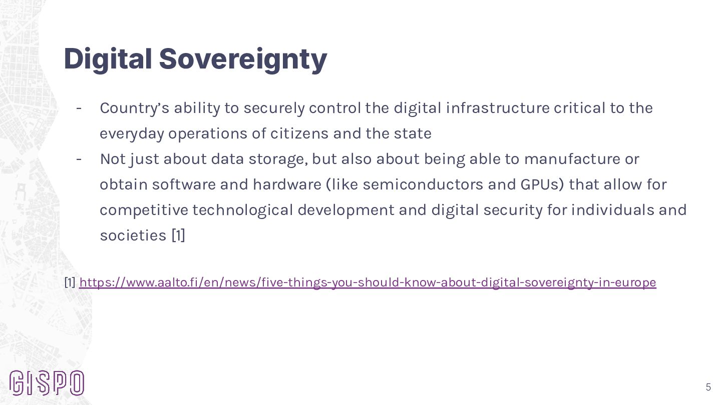
Digital Sovereignty - Country’s ability to securely control the digital
infrastructure critical to the everyday operations of citizens and the state - Not just about data storage, but also about being able to manufacture or obtain software and hardware (like semiconductors and GPUs) that allow for competitive technological development and digital security for individuals and societies [1] [1] https://www.aalto.fi/en/news/five-things-you-should-know-about-digital-sovereignty-in-europe 5 -
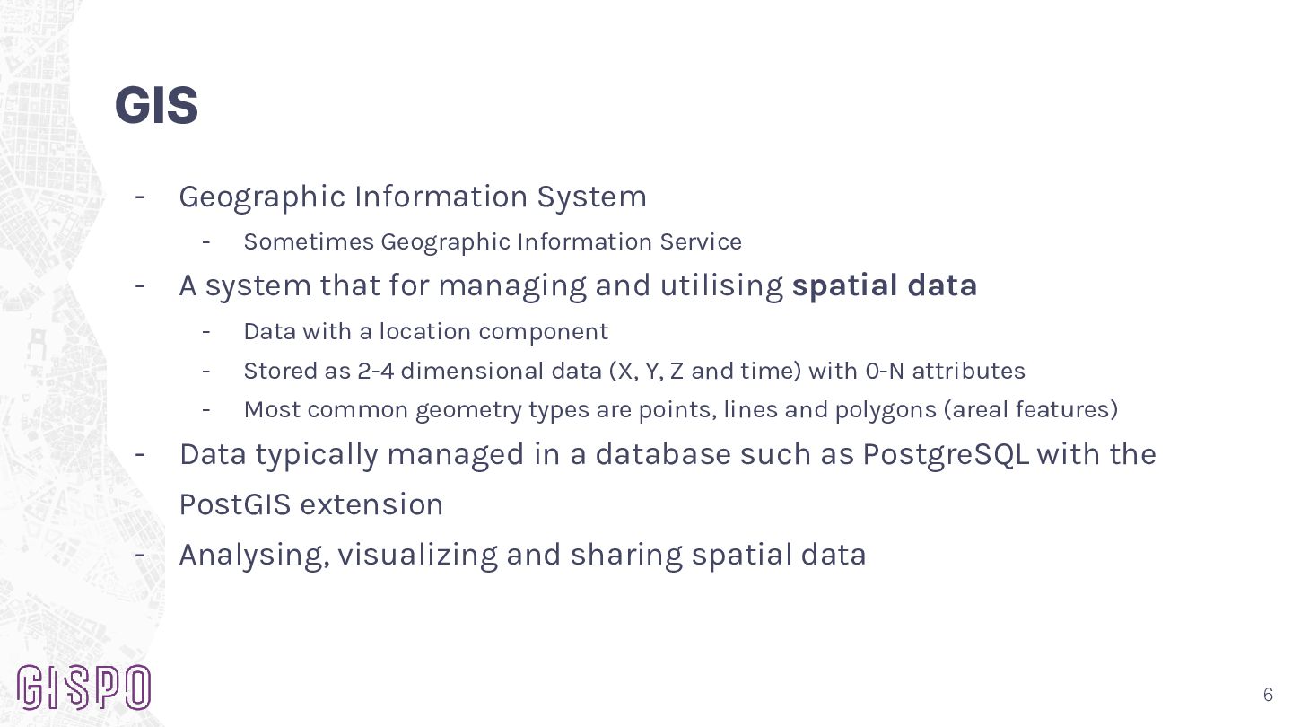
GIS - Geographic Information System - - - Sometimes Geographic
Information Service A system that for managing and utilising spatial data - Data with a location component - Stored as 2-4 dimensional data (X, Y, Z and time) with 0-N attributes - Most common geometry types are points, lines and polygons (areal features) Data typically managed in a database such as PostgreSQL with the PostGIS extension - Analysing, visualizing and sharing spatial data 6 -
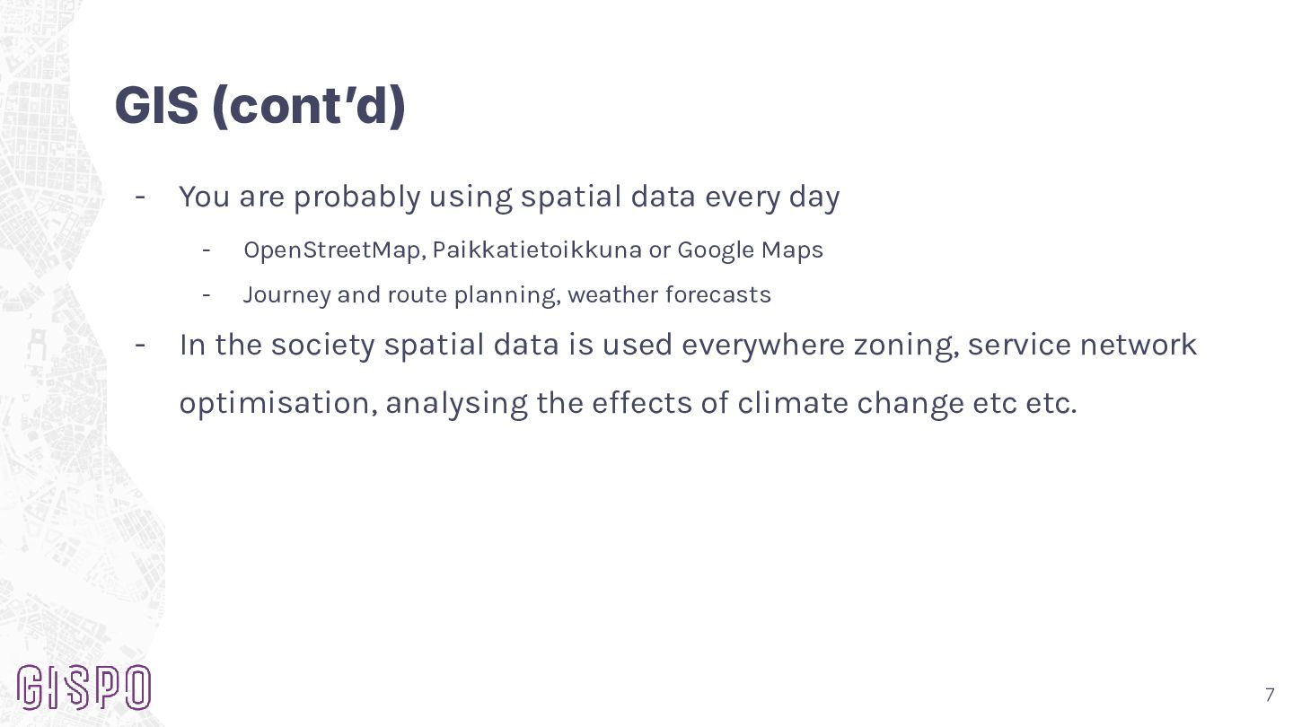
GIS (contʼd) - - You are probably using spatial data
every day - OpenStreetMap, Paikkatietoikkuna or Google Maps - Journey and route planning, weather forecasts In the society spatial data is used everywhere zoning, service network optimisation, analysing the effects of climate change etc etc. 7 -
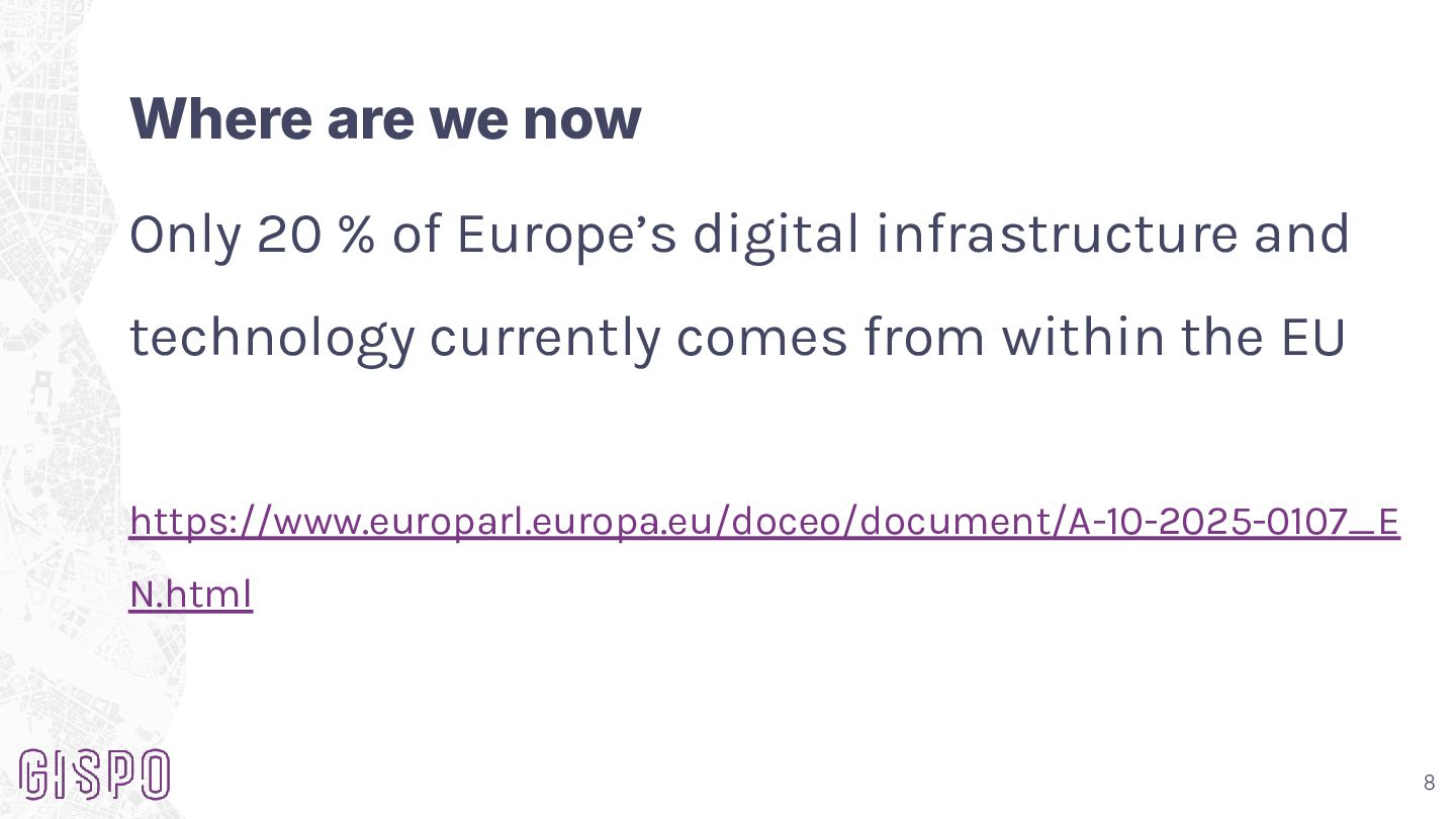
Where are we now Only 20 % of Europe’s digital
infrastructure and technology currently comes from within the EU https://www.europarl.europa.eu/doceo/document/A-10-2025-0107_E N.html 8 -
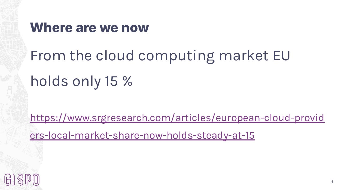
Where are we now From the cloud computing market EU
holds only 15 % https://www.srgresearch.com/articles/european-cloud-provid ers-local-market-share-now-holds-steady-at-15 9 -
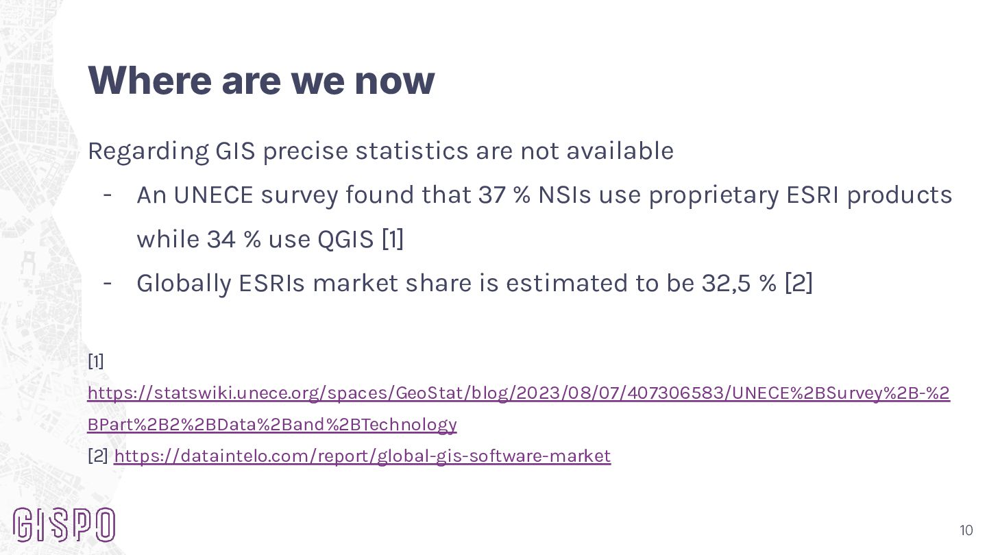
Where are we now Regarding GIS precise statistics are not
available - An UNECE survey found that 37 % NSIs use proprietary ESRI products while 34 % use QGIS [1] - Globally ESRIs market share is estimated to be 32,5 % [2] [1] https://statswiki.unece.org/spaces/GeoStat/blog/2023/08/07/407306583/UNECE%2BSurvey%2B-%2 BPart%2B2%2BData%2Band%2BTechnology [2] https://dataintelo.com/report/global-gis-software-market 10 -
Where are we now Statistics for AI market share are
available but most likely they don’t age well - Needless to say the situation is not optimal 11 -
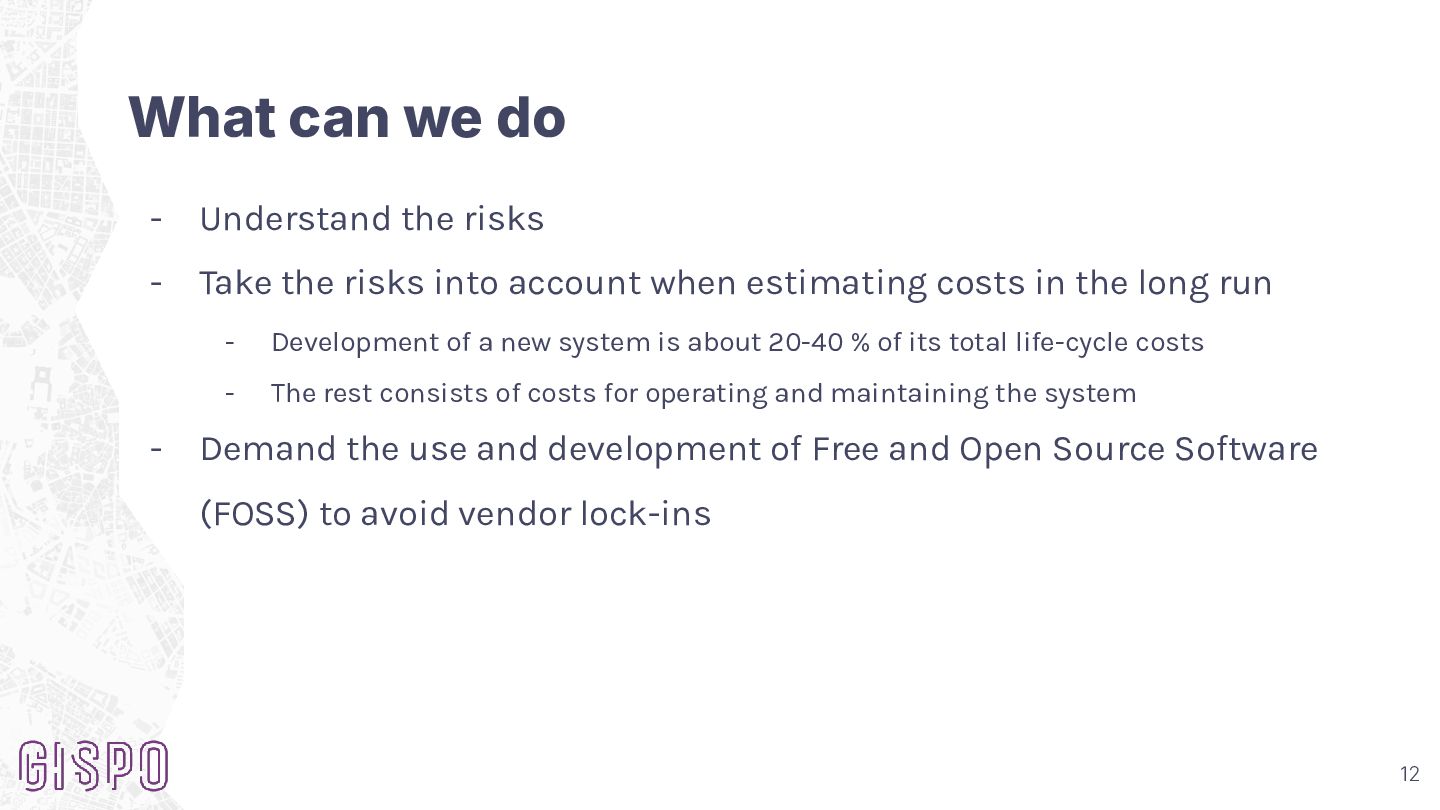
What can we do - Understand the risks - Take
the risks into account when estimating costs in the long run - - Development of a new system is about 20-40 % of its total life-cycle costs - The rest consists of costs for operating and maintaining the system Demand the use and development of Free and Open Source Software (FOSS) to avoid vendor lock-ins 12 -
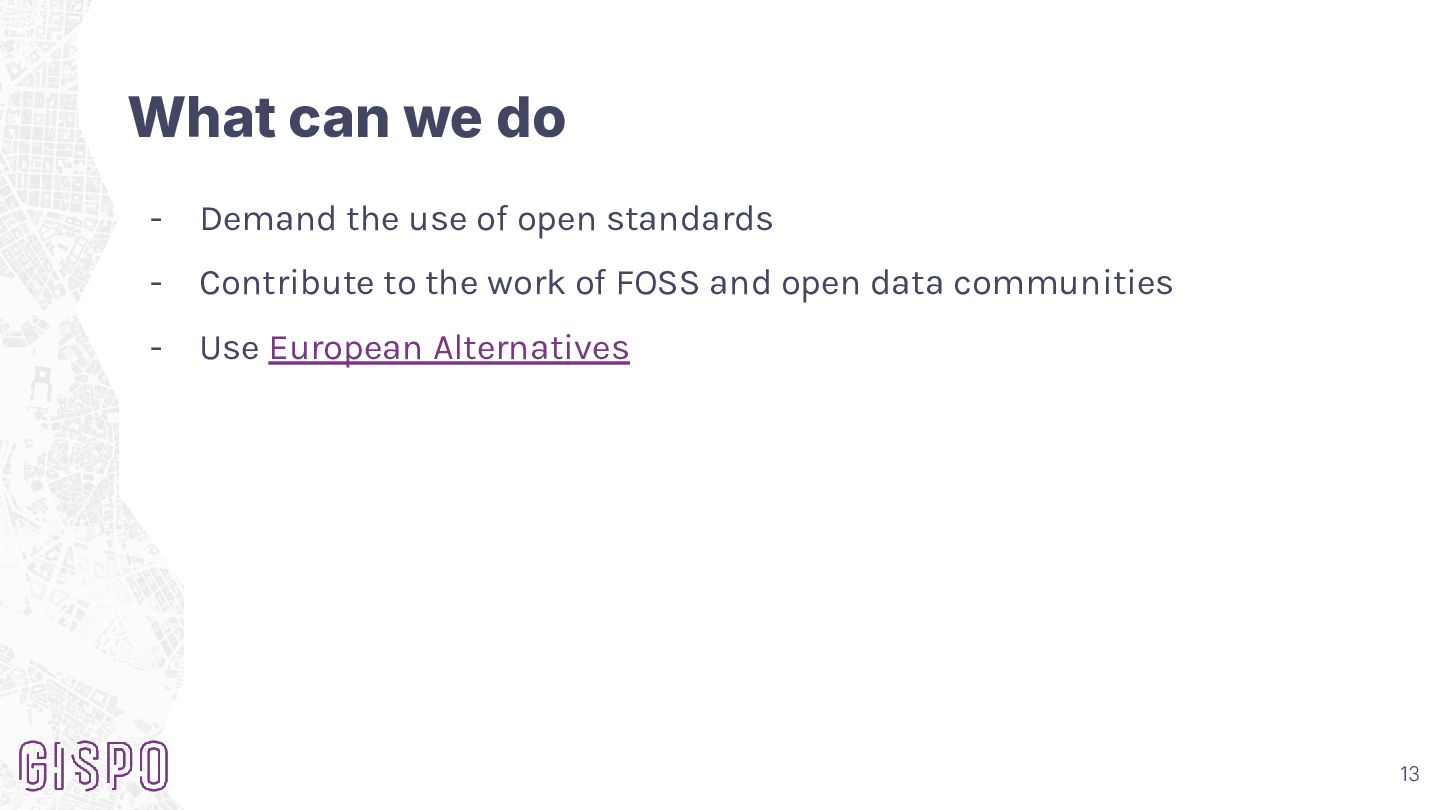
What can we do - Demand the use of open
standards - Contribute to the work of FOSS and open data communities - Use European Alternatives 13 -
Thank you! info@gispo.fi +358 207 310 360 www.gispo.fi Offices: Helsinki
Turku Joensuu Stockholm