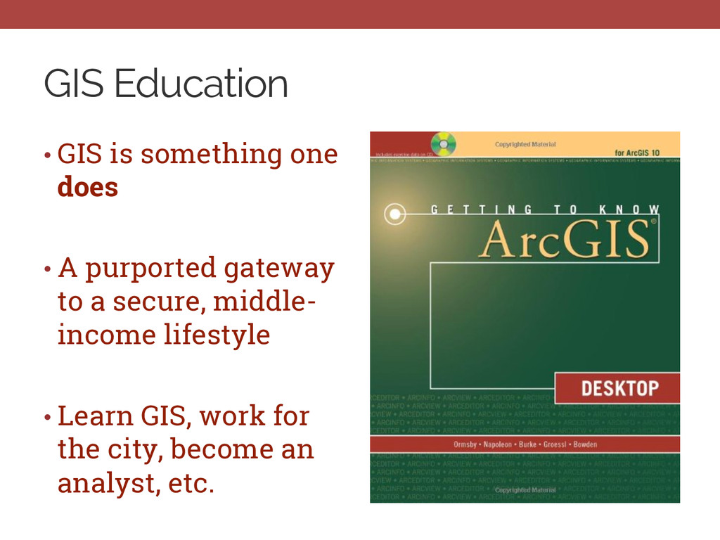
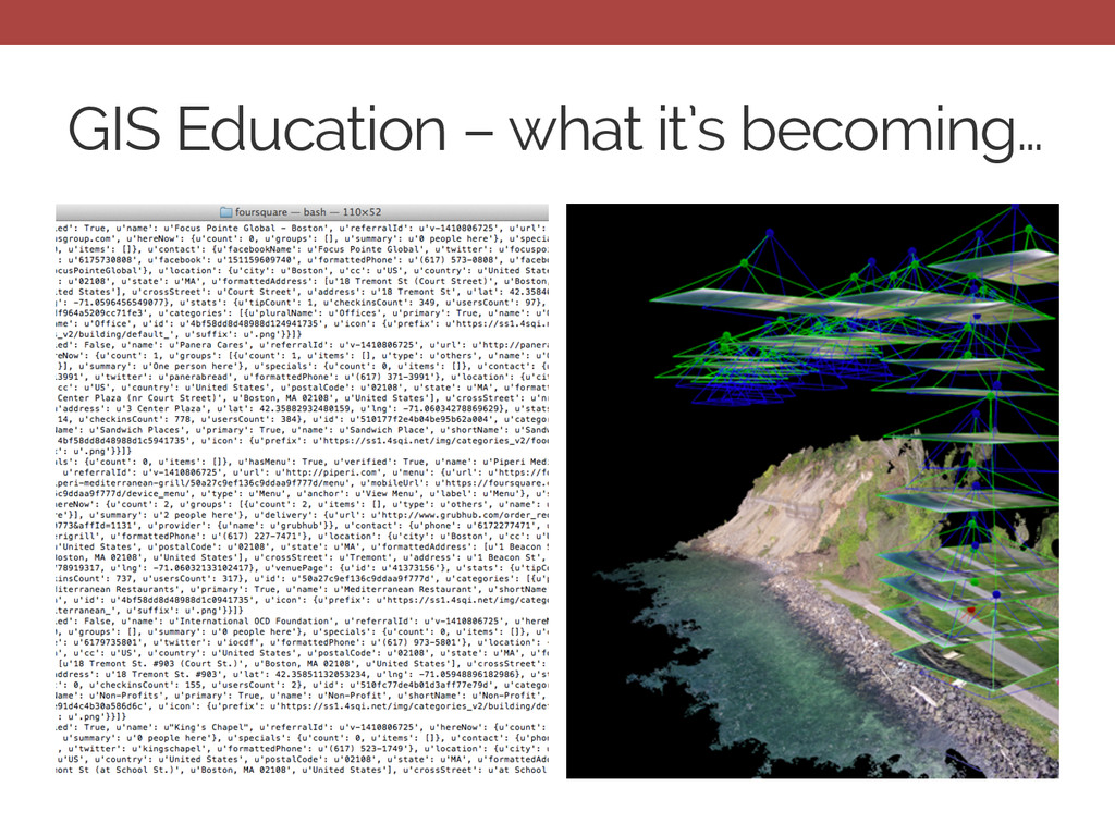
CyberGIS Fellowship • The problem • What GIS education has been • What it’s becoming • Our solution (one amongst many) • A CyberGIS informed pedagogical framework
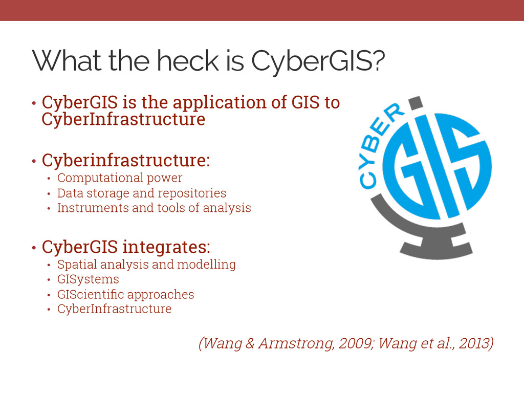
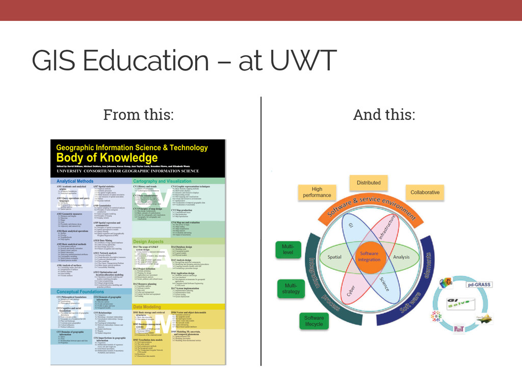
of GIS to CyberInfrastructure • Cyberinfrastructure: • Computational power • Data storage and repositories • Instruments and tools of analysis • CyberGIS integrates: • Spatial analysis and modelling • GISystems • GIScientific approaches • CyberInfrastructure (Wang & Armstrong, 2009; Wang et al., 2013)
• Job space changing • Constant pressure on teaching tools vs. concepts • What concepts for what tools? • What tools for what concepts? • Teaching GISystems vs. teaching about GIScience
unevenly across space • Opportunities available in some areas, not the case in others • Constant tension between: Where the job market will be in 5 to 10 years vs. The need for a job now • “Open-source is great and all, but I need to know ArcServer.”
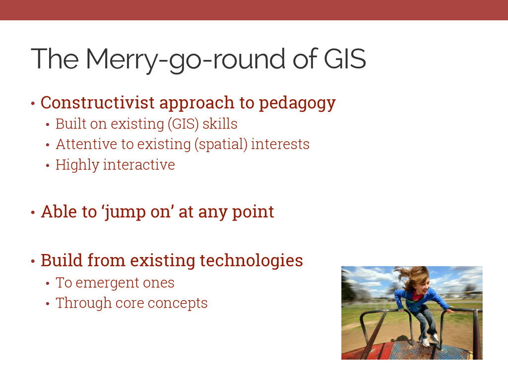
Built on existing (GIS) skills • Attentive to existing (spatial) interests • Highly interactive • Able to ‘jump on’ at any point • Build from existing technologies • To emergent ones • Through core concepts
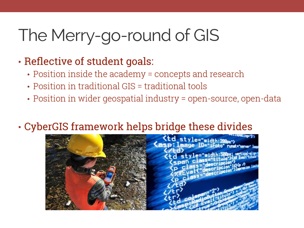
Position inside the academy = concepts and research • Position in traditional GIS = traditional tools • Position in wider geospatial industry = open-source, open-data • CyberGIS framework helps bridge these divides
but you already knew that. • GIS education must change as well, but you knew that too. • Different students will have different goals and different opportunities • The uneven development of spatial data and spatial analysis matters • A precarious balance amongst GIScience, GIS as job, and what spatial jobs will and are becoming • CyberGIS can help • On the one hand, CYBER! as questionable framing • On the other, focus on high-end, distributing computing recognized by national agencies • Constructivist pedagogy and the Merry-Go-Round of GIS