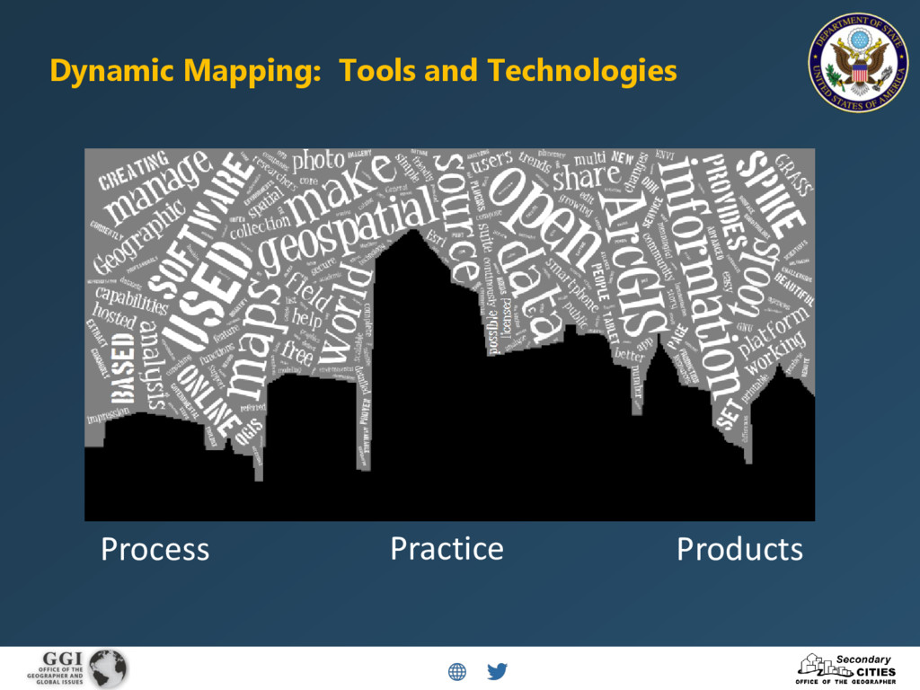
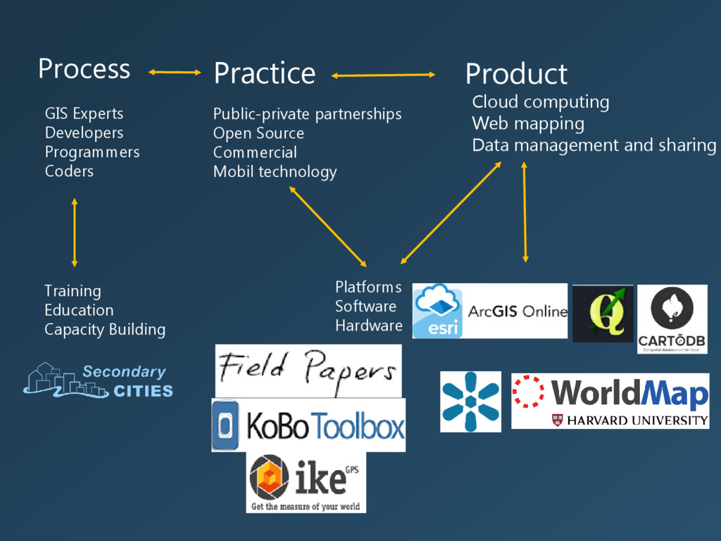
Mobile tools for data generation provide a method to actively engage in data collection for different stakeholders. Intersecting these tools with web-based maps and geographic information systems are the basis for dynamic mapping – one where the map is interactive and where the data lends itself to analysis for generating new information. Within the current milieu, maps are dynamic on a number of levels: scale (ability to zoom); turning on and off data layers; creating map animations. Maps are also dynamic with respect to what and how data are collected, who participates in the collection process, and who analyzes the data and uses it.
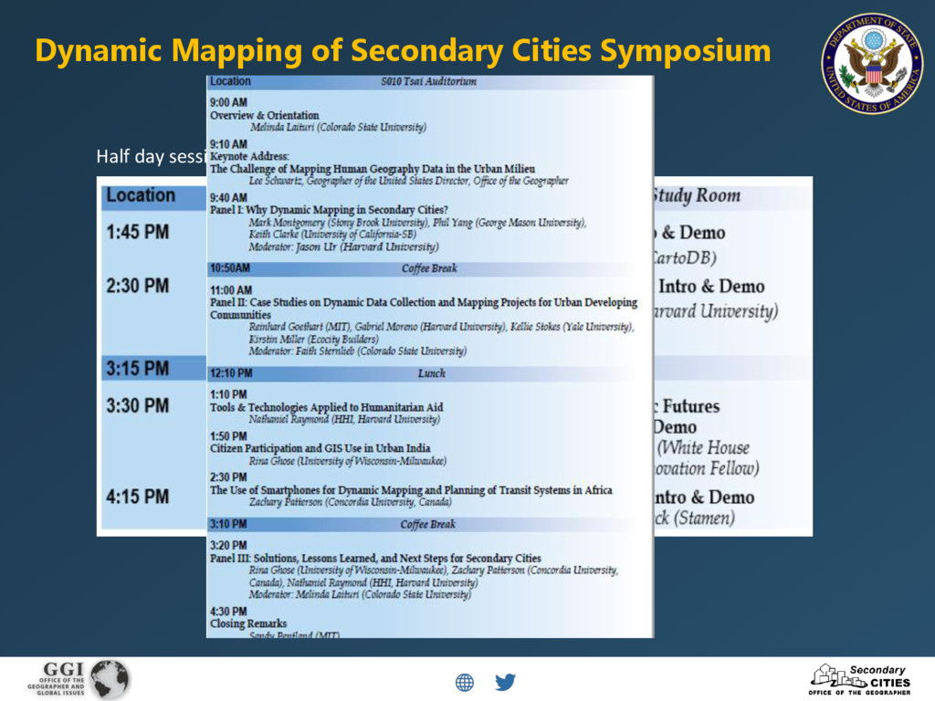
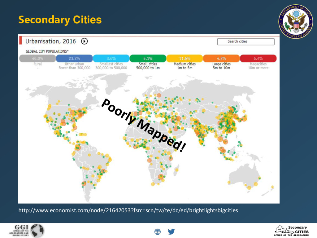
This symposium is an opportunity to unpack dynamic mapping as it applies to the suite of tools under examination here. The symposium will also lay the groundwork for a network of users to identify intersections and discuss lessons learned on how improvements can be made from data development to stakeholder involvement in the context of secondary cities. Secondary cities are non-primary cities that often serve as regional hubs for commerce, services, and governance, with populations that can range from 100,000 to 5 million. They are generally experiencing rapid urbanization and are often the fastest growing areas in developing countries, experiencing unplanned growth and development with limited geospatial data.