- Jaisen Nedumpala (Assistant Secretary, Koorachundu Village Panchayat; Member of Executive Committee, Swathanthra Malayalam Computing) State of the Map 2017 Conference – Aizu-wakamatsu, Japan.
Japan. Constitutional bodies. Local authorities - Quasi judicial powers - First respondents in case of disasters. Implementing agency - Developmental projects of it's own and, of the government. Role in Environmental protection - KPR Act 3rd Schedule -Environmental hygiene, awareness, upgradation; Social Forestry. Biodiversity Management Committee (Biological Diversity Act - 2002) Enforcement of building rules, ref. CRZ notification.
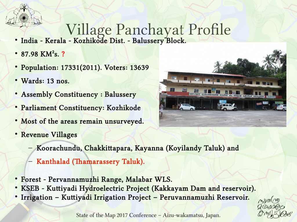
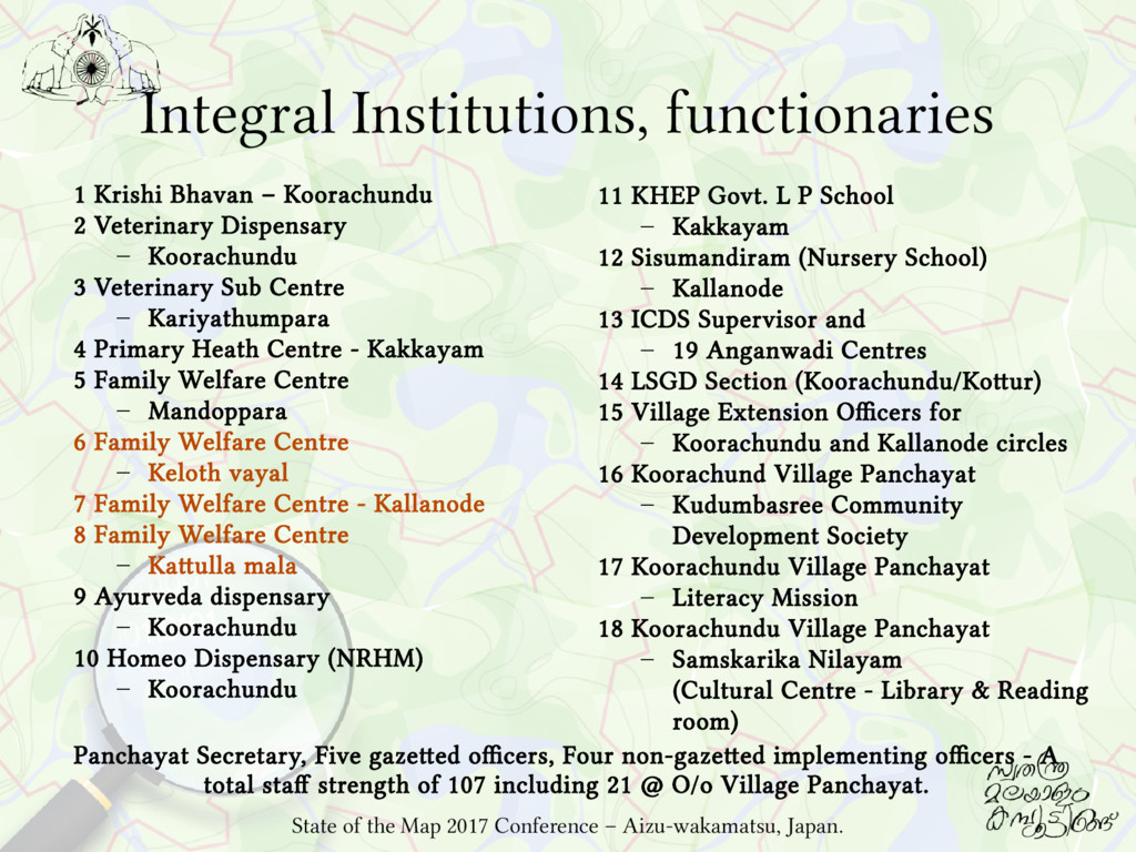
Dispensary – Koorachundu 3 Veterinary Sub Centre – Kariyathumpara 4 Primary Heath Centre - Kakkayam 5 Family Welfare Centre – Mandoppara 6 Family Welfare Centre – Keloth vayal 7 Family Welfare Centre - Kallanode 8 Family Welfare Centre – Kattulla mala 9 Ayurveda dispensary – Koorachundu 10 Homeo Dispensary (NRHM) – Koorachundu 11 KHEP Govt. L P School – Kakkayam 12 Sisumandiram (Nursery School) – Kallanode 13 ICDS Supervisor and – 19 Anganwadi Centres 14 LSGD Section (Koorachundu/Kottur) 15 Village Extension Officers for – Koorachundu and Kallanode circles 16 Koorachund Village Panchayat – Kudumbasree Community Development Society 17 Koorachundu Village Panchayat – Literacy Mission 18 Koorachundu Village Panchayat – Samskarika Nilayam (Cultural Centre - Library & Reading room) State of the Map 2017 Conference – Aizu-wakamatsu, Japan. Panchayat Secretary, Five gazetted officers, Four non-gazetted implementing officers - A total staff strength of 107 including 21 @ O/o Village Panchayat.
for developmental activities. But they are not unconditional. Utilising them are strictly controlled by the government through numerous directions like Guidelines /Orders /Circulars etc. State of the Map 2017 Conference – Aizu-wakamatsu, Japan.
the basic details about their surroundings in an authentic fashion. Local governments - Custodians of Asset registers The details of basic infrastructure - road networks and other public facilities. First respondents in case of any hazards, in practical sense. Requirement by RTI Act - 2005 Sections 4(1), 4(2), 4(3), 4(4): Local governments - public authorities Responsible for maintaining their records duly catalogued and indexed, Responsible to provide as much information suo motu to the public through various means of communications, including internet. State of the Map 2017 Conference – Aizu-wakamatsu, Japan.
Encourage Citizen Participation in Governance. Central govt guidelines – GIS to be applied. Common Guidelines for Watershed Development Projects, 2008 – Use current trends & advances in IT & Remote Sensing, Technology inputs - GIS. Saansad Adarsh Gram Yojana Guidelines – Assets to be mapped using GIS. But village panchayats can't formulate GIS projects Vide Govt. Circular No: 71639/IB1/2012/LSGD dated 11/3/2013 - Enforces restrictions over the individual software development activities of the LSGIs of Kerala, Vide Govt. Circular No:1942/D.C.2/2013/LSGD dated 13/12/2013 - Prohibits village panchayats from formulating projects or spend money to develop a custom GIS. State of the Map 2017 Conference – Aizu-wakamatsu, Japan.
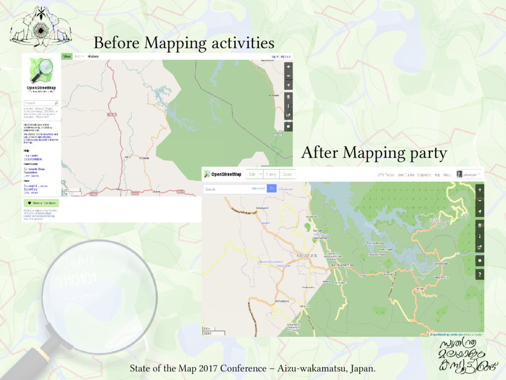
– No Resource Map, No Cadastral Map, No GIS. But pops up several instances to draw maps: Kasturirangan report, Ward delimitation, Sevagram Gramakendram etc. Need baseline GeoData for Developmental Planning and Implementation and to empower the stakeholders. Need of OpenGeoData in case of Emergencies - without hassle. It is easy to draw maps from the layers of GIS, when in need. If there is commonly accessible repository of OpenGeoData, people can access the data when they need, without any formal requests to the village panchayat, satisfying the responsibility imposed by RTI Act - Sec: 4(1), 4(2), 4(3), 4(4). State of the Map 2017 Conference – Aizu-wakamatsu, Japan.
OpenGeoData, with community participation to suit the needs of suo-motu dissemination of spatial information to encourage and enable the effective citizen participation in the decision-making process. Ensure that this necessary spatial information can be accessed with the attribute data in local / regional language. State of the Map 2017 Conference – Aizu-wakamatsu, Japan.
(Ref: Circulars mentioned before). • Make use of the government circulars/ orders/ guidelines to draw any kind of map to enhance that level of existing base of OpenGeoData. Technical • Use the existing OpenGeoData platforms and Free/OpenSource frameworks and ensure the community volunteering involvements to minimise the expenses. State of the Map 2017 Conference – Aizu-wakamatsu, Japan.
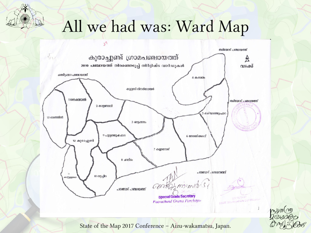
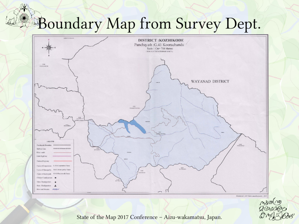
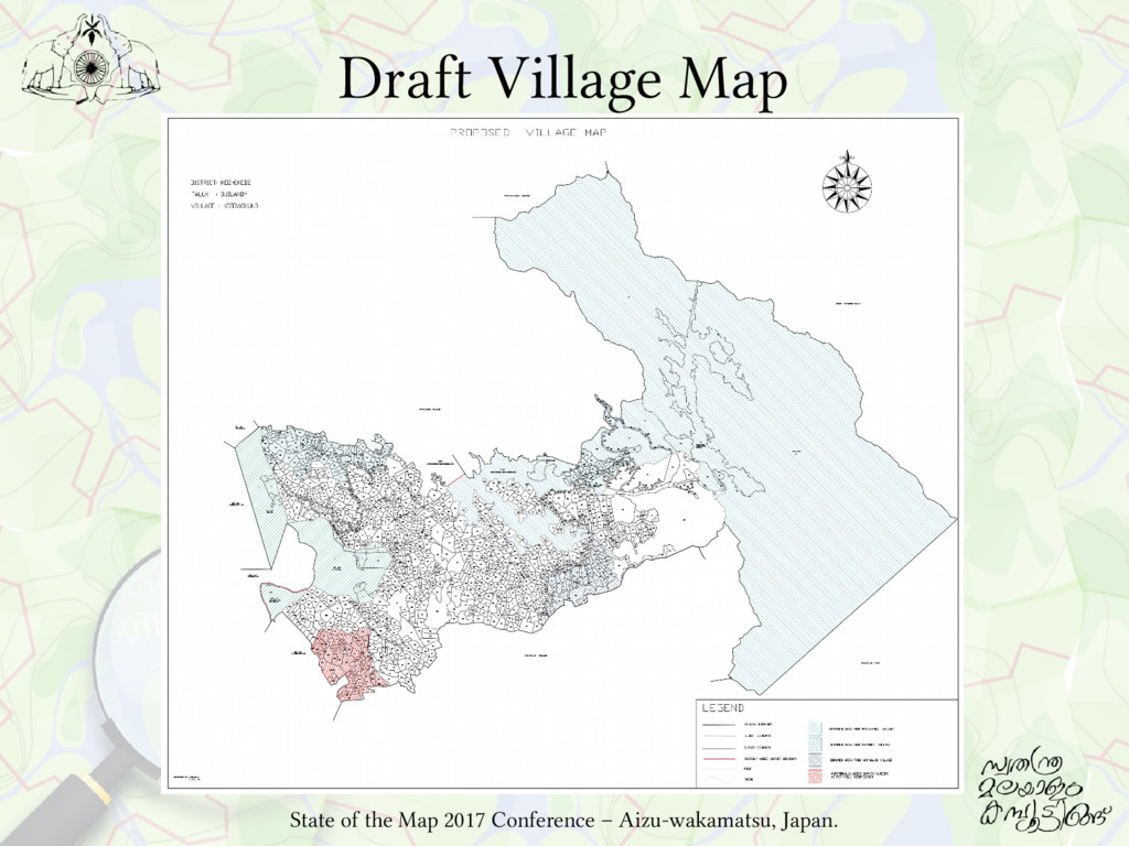
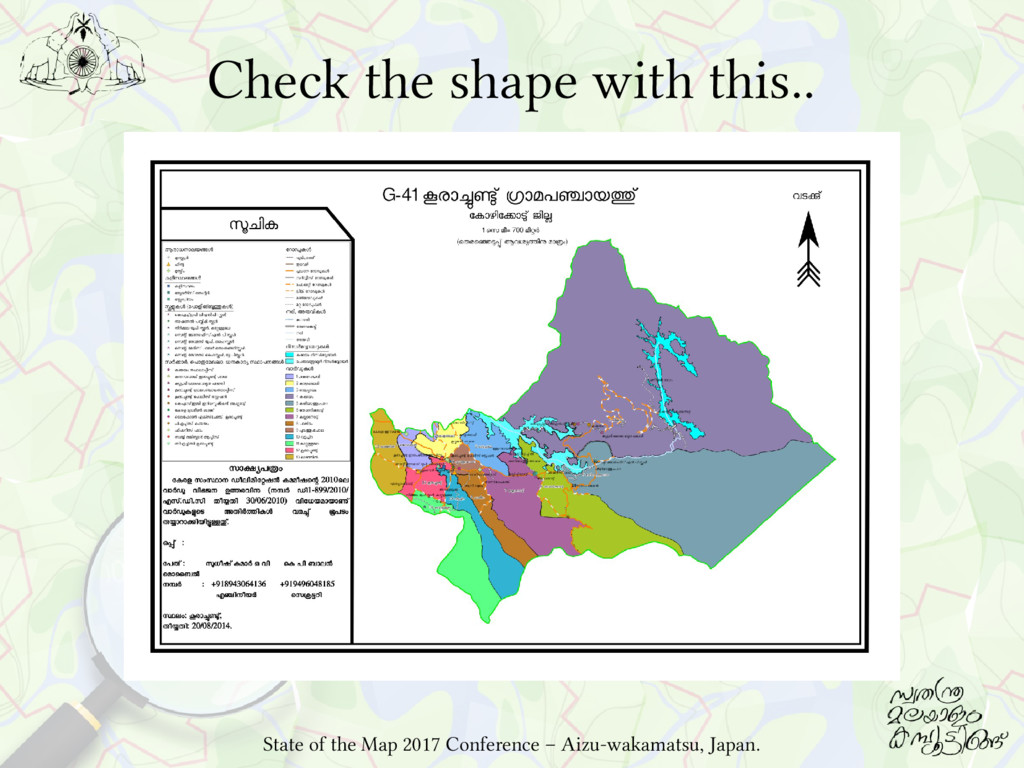
LSGIs of Kerala have no systematically prepared base maps useful for administrative, scientific and academic purposes as an official document. Such a map would be useful as a base document for future delimitation of wards or bifurcation of LSGIs. State of the Map 2017 Conference – Aizu-wakamatsu, Japan.
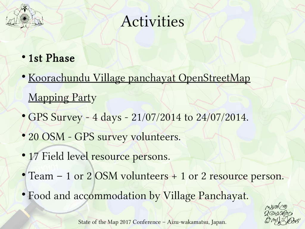
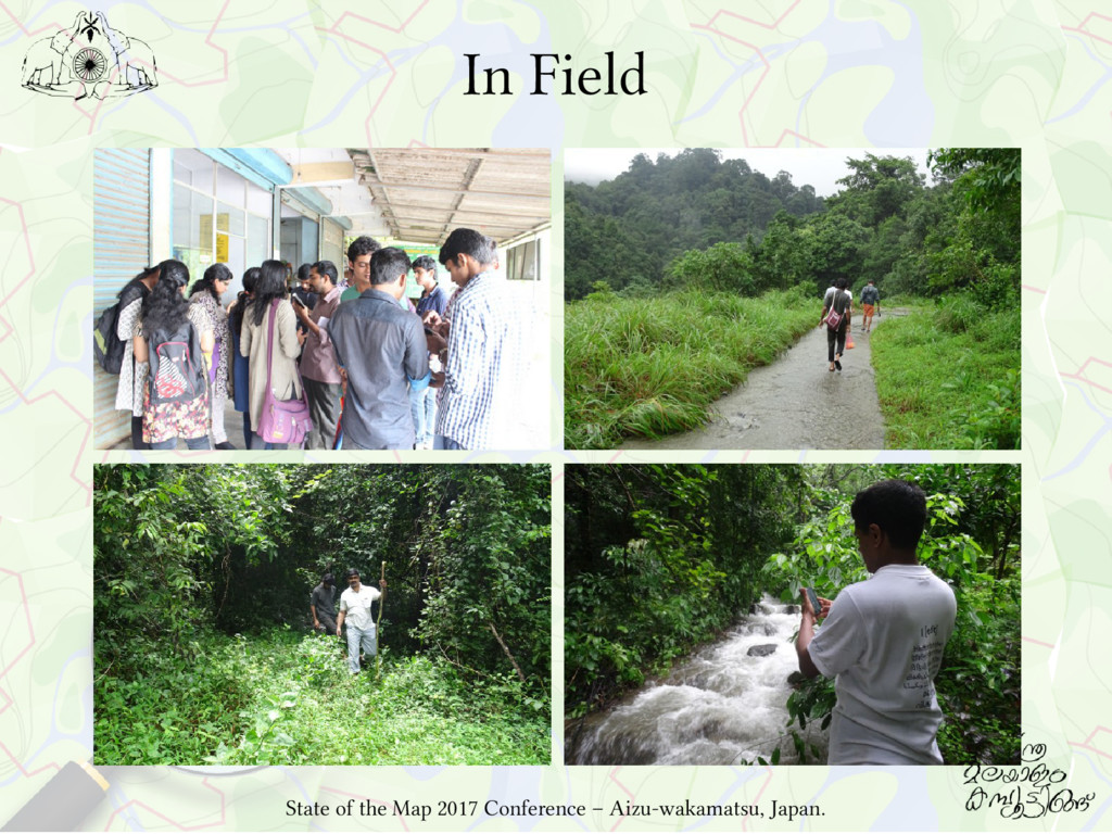
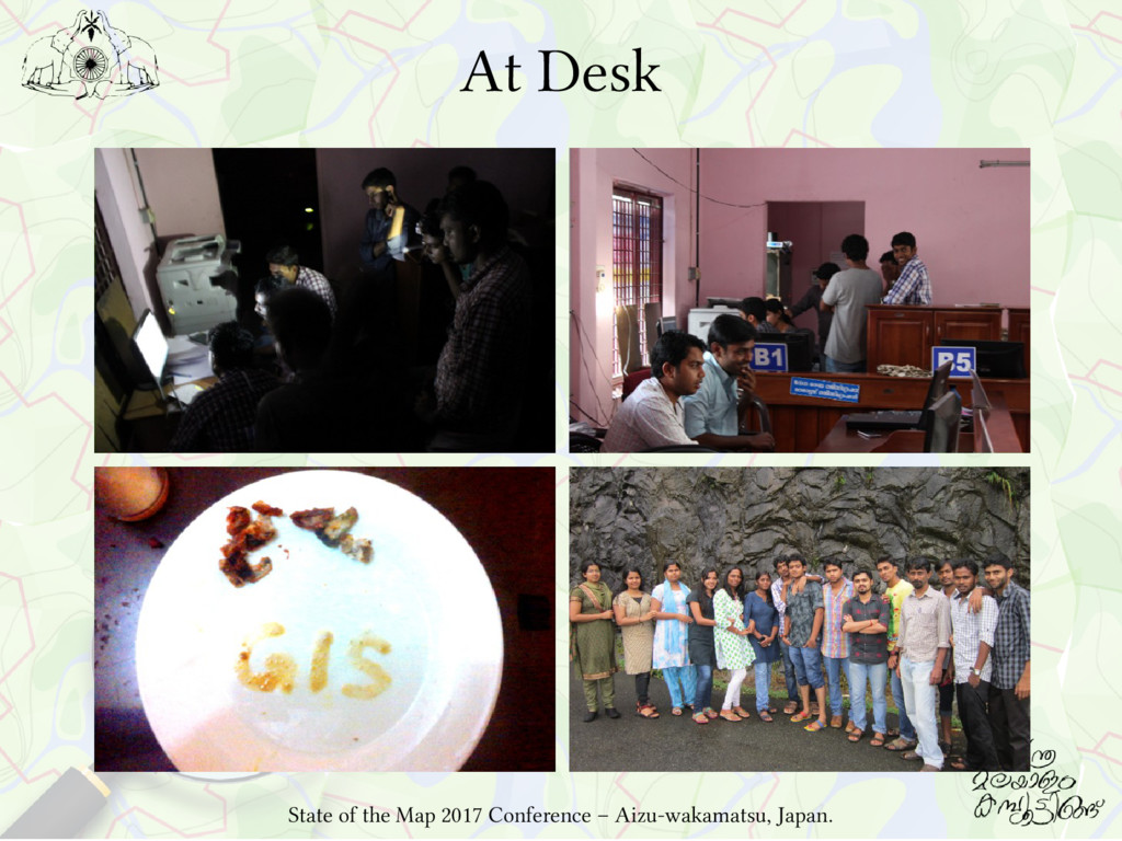
Party GPS Survey - 4 days - 21/07/2014 to 24/07/2014. 20 OSM - GPS survey volunteers. 17 Field level resource persons. Team – 1 or 2 OSM volunteers + 1 or 2 resource person. Food and accommodation by Village Panchayat. State of the Map 2017 Conference – Aizu-wakamatsu, Japan.
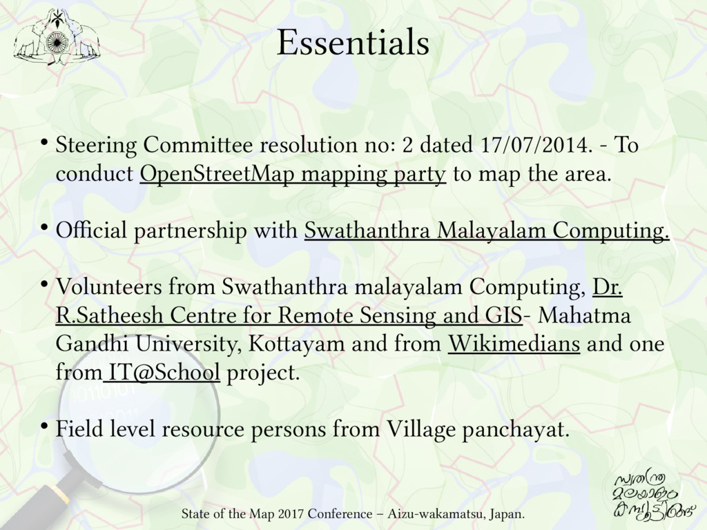
To conduct OpenStreetMap mapping party to map the area. Official partnership with Swathanthra Malayalam Computing. Volunteers from Swathanthra malayalam Computing, Dr. R.Satheesh Centre for Remote Sensing and GIS- Mahatma Gandhi University, Kottayam and from Wikimedians and one from IT@School project. Field level resource persons from Village panchayat. State of the Map 2017 Conference – Aizu-wakamatsu, Japan.
Computing and FOSS domain and using ICTs for Development. Both Village Panchayat and SMC conceived this as an OpenGeoData initiative: –Start from OpenStreetMap and extend to other elements. Swathanthra Malayalam Computing helped in mobilising experts, volunteers and trainers and done the technology and implementation part of the programme. State of the Map 2017 Conference – Aizu-wakamatsu, Japan.
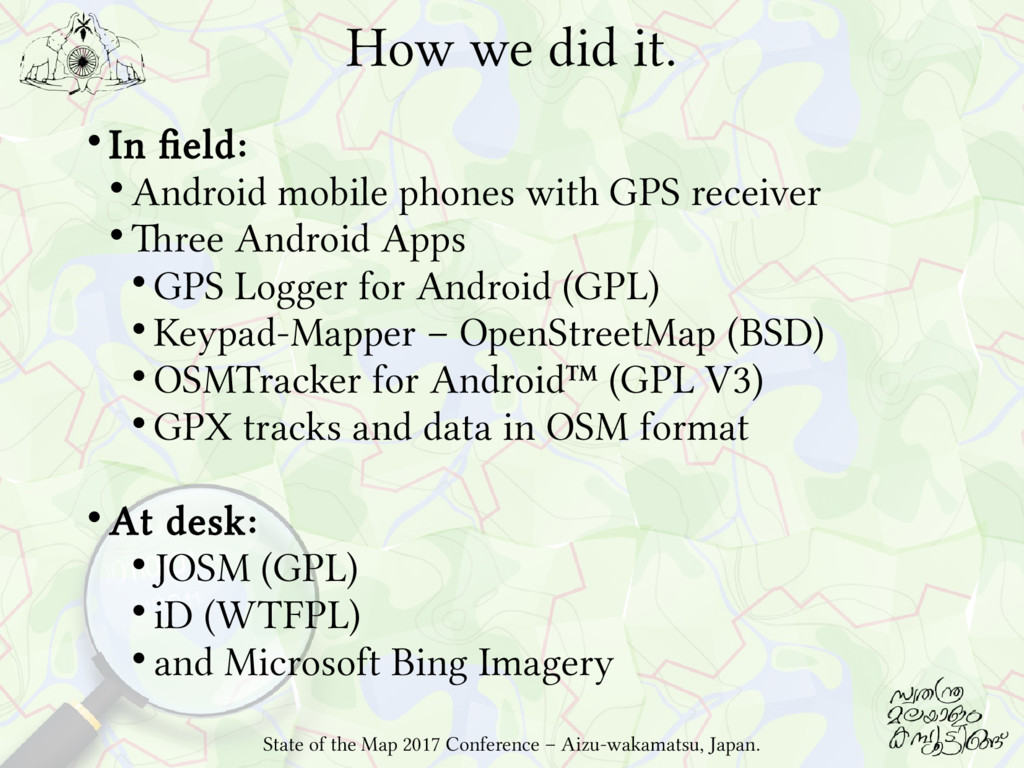
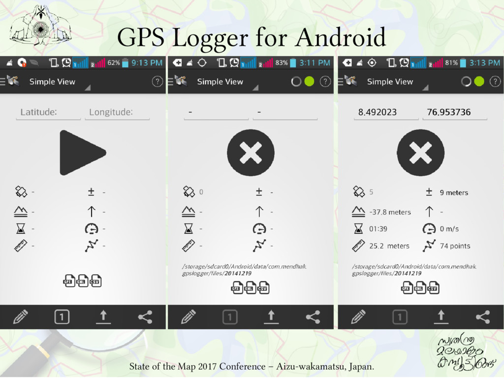
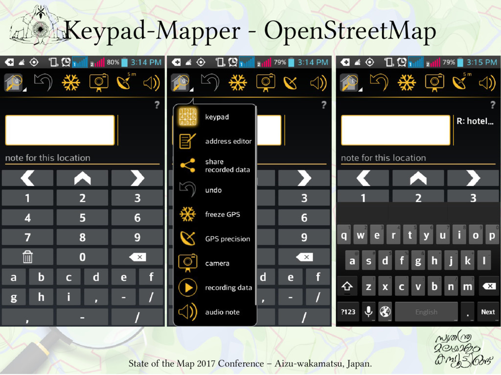
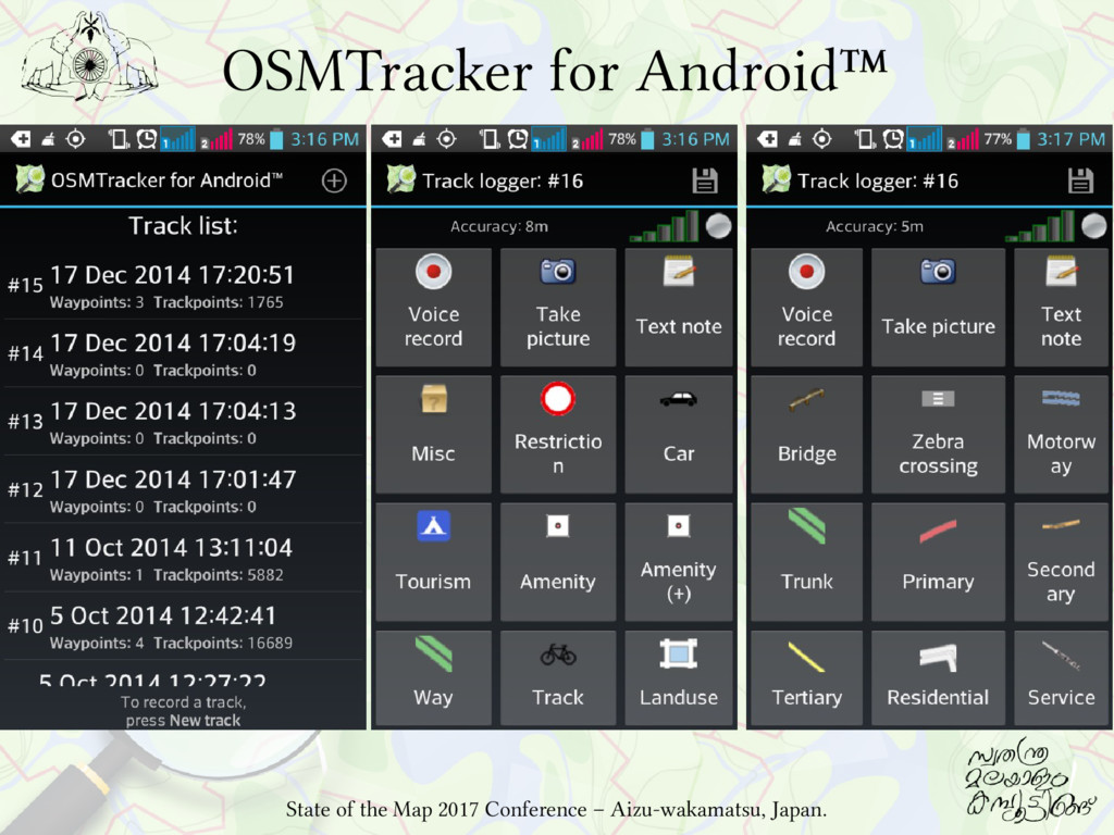
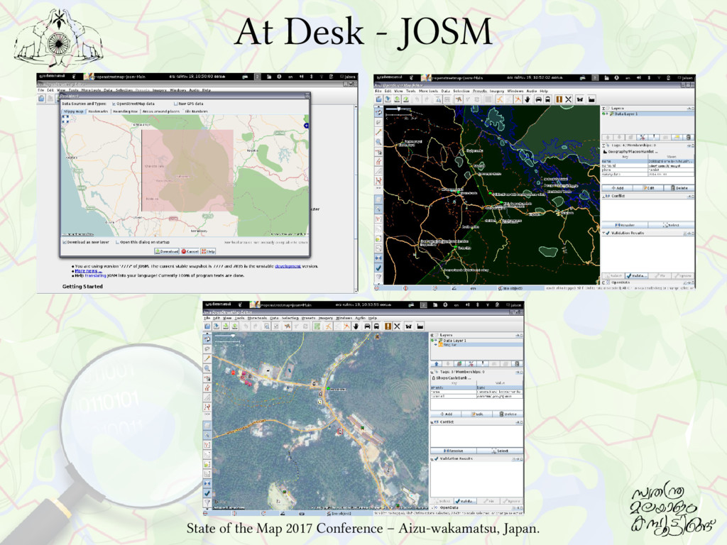
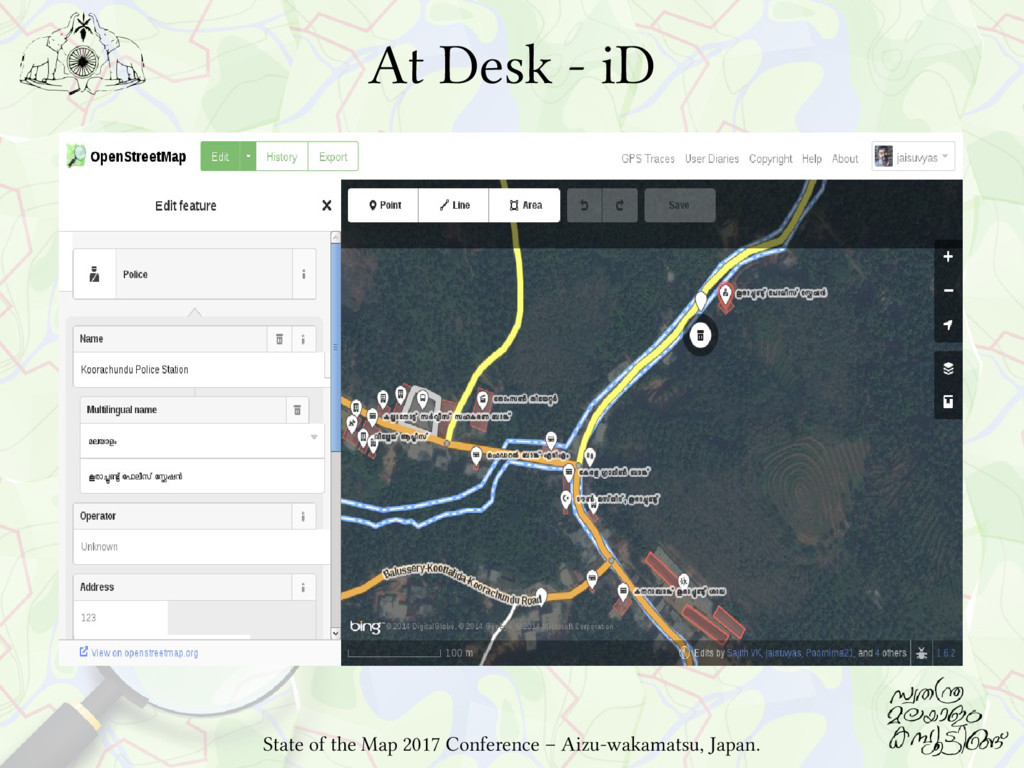
phones with GPS receiver Three Android Apps GPS Logger for Android (GPL) Keypad-Mapper – OpenStreetMap (BSD) OSMTracker for Android™ (GPL V3) GPX tracks and data in OSM format At desk: JOSM (GPL) iD (WTFPL) and Microsoft Bing Imagery State of the Map 2017 Conference – Aizu-wakamatsu, Japan.
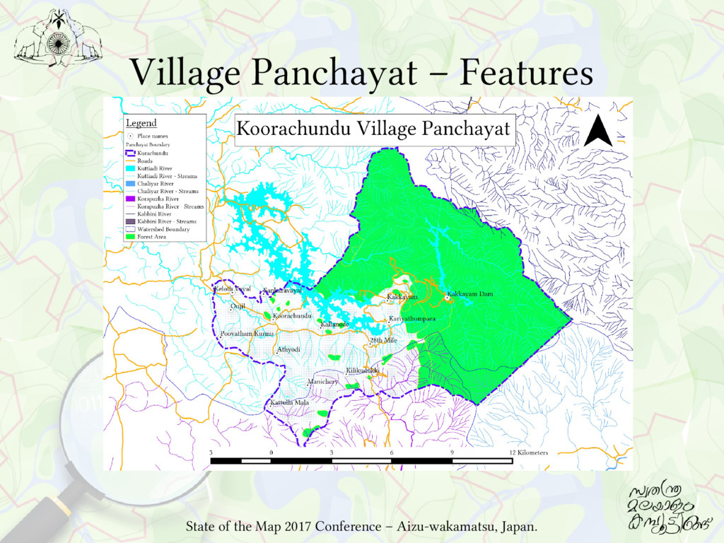
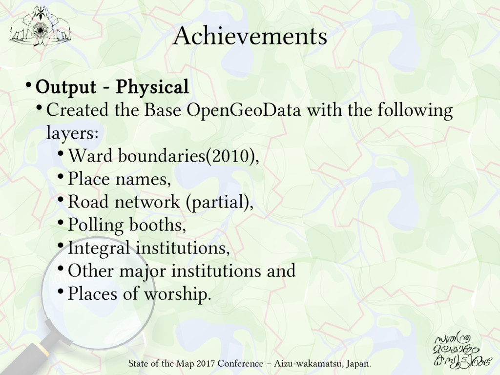
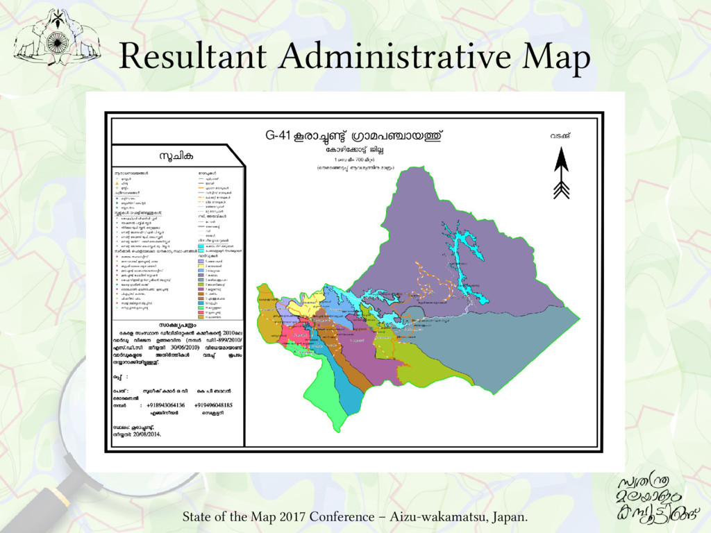
with the following layers: Ward boundaries(2010), Place names, Road network (partial), Polling booths, Integral institutions, Other major institutions and Places of worship. State of the Map 2017 Conference – Aizu-wakamatsu, Japan.
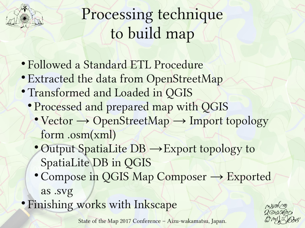
Procedure Extracted the data from OpenStreetMap Transformed and Loaded in QGIS Processed and prepared map with QGIS Vector → OpenStreetMap → Import topology form .osm(xml) Output SpatiaLite DB →Export topology to SpatiaLite DB in QGIS Compose in QGIS Map Composer → Exported as .svg Finishing works with Inkscape State of the Map 2017 Conference – Aizu-wakamatsu, Japan.
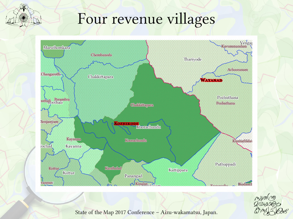
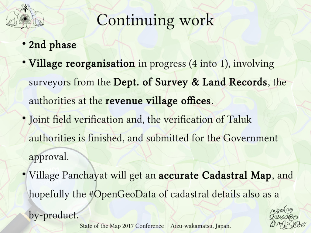
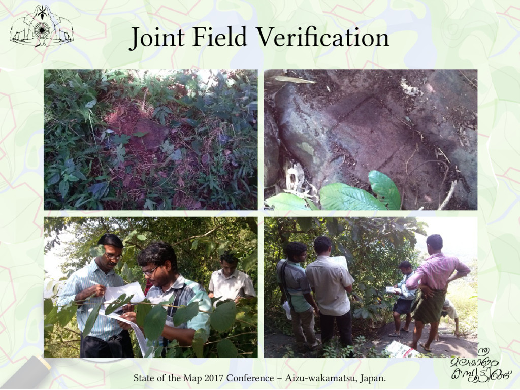
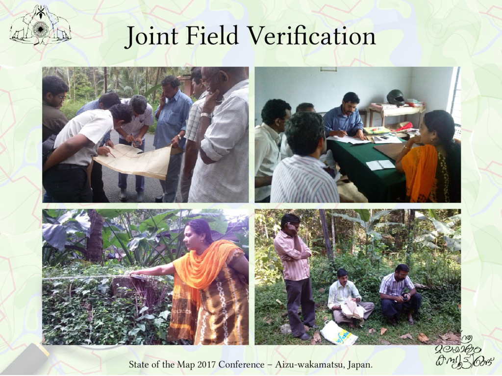
(4 into 1), involving surveyors from the Dept. of Survey & Land Records, the authorities at the revenue village offices. Joint field verification and, the verification of Taluk authorities is finished, and submitted for the Government approval. Village Panchayat will get an accurate Cadastral Map, and hopefully the #OpenGeoData of cadastral details also as a by-product. State of the Map 2017 Conference – Aizu-wakamatsu, Japan.
is the most cost effective way to develop baseline GIS data for a village panchayat. People seeking GeoData for their needs, can directly download the data from OpenGeoData repositories. That will encourage and empower the people to effectively involve in planning/administrative process. Data also will be available at finger tip, when in case of hazards, to draw maps to plan logistics. State of the Map 2017 Conference – Aizu-wakamatsu, Japan.
![Full story on the work is at: http://blog.smc.org.in/mapping-efforts-in-an-unsurveyed-land-koorachundu/ ? [email protected]](https://files.speakerdeck.com/presentations/fc40cb09d90e4c198e6d228ae17b01f3/slide_38.jpg)