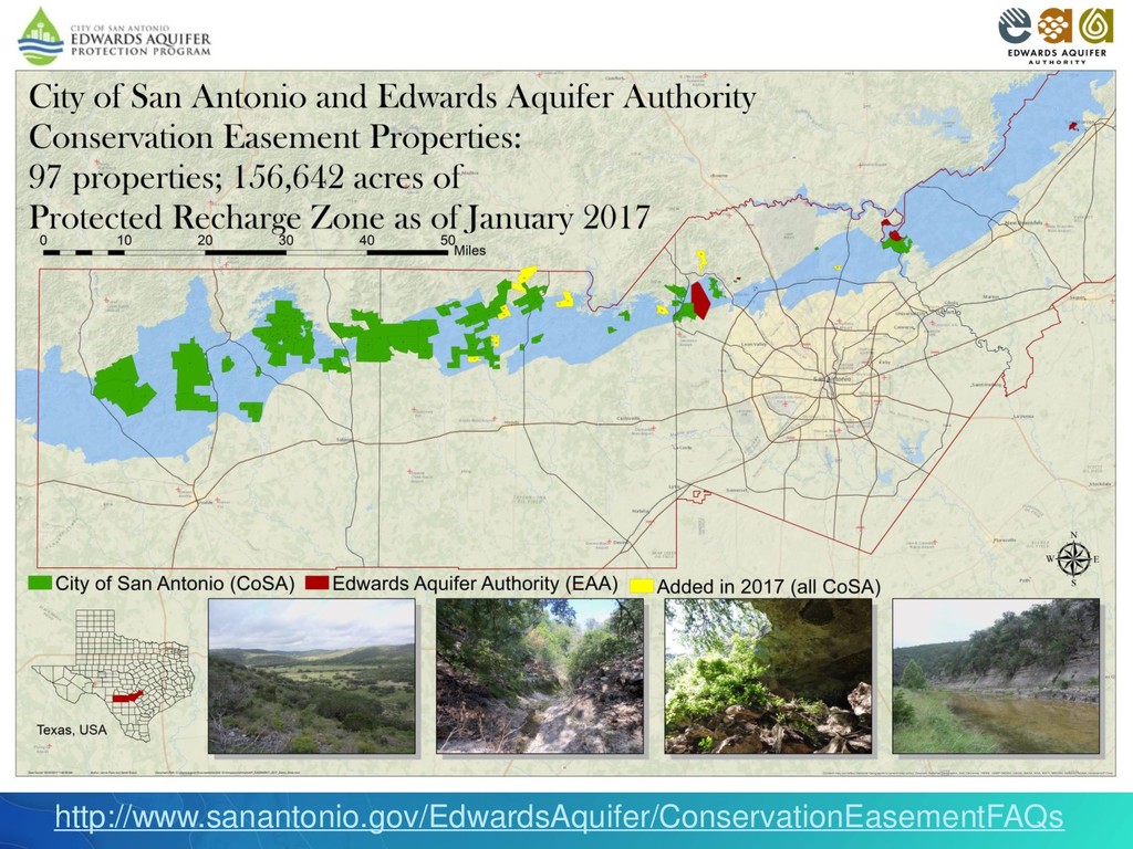
buying environmentally sensitive land. In 2008 we partnered with the City of San Antonio (CoSA) to aid in the Edwards Aquifer Protection Program and was renewed in 2016. Through a one-eighth cent sales tax over the past 17 years, CoSA has acquired more than 150,000 acres of conservation easements and protected lands in order to protect water quantity and water quality of the Edwards Aquifer. The EAA provides geologic assessments and annual monitoring for all the prospective and acquired lands. This map represents the distribution and size of the EAA and CoSA protected lands.
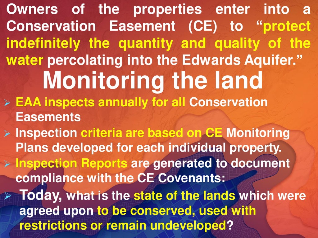
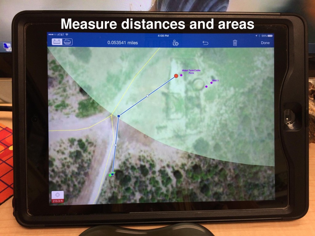
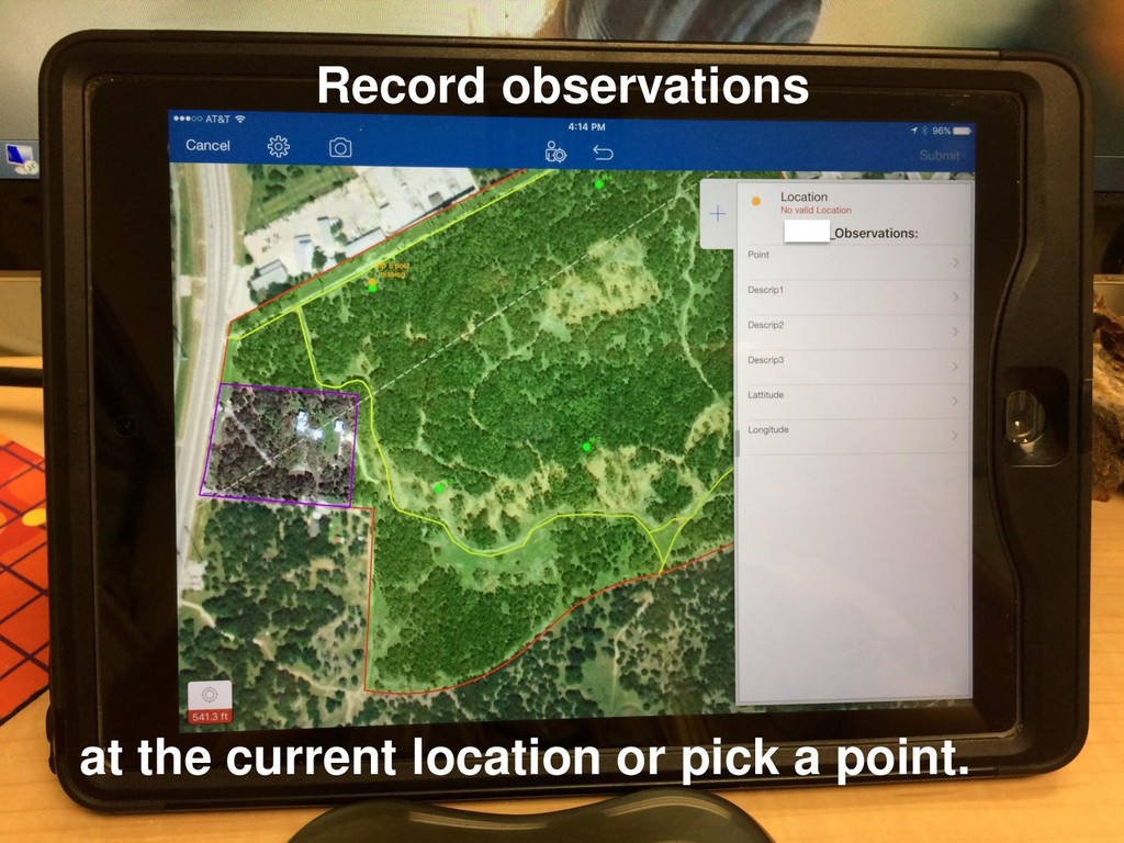
Easements ➢ Inspection criteria are based on CE Monitoring Plans developed for each individual property. ➢ Inspection Reports are generated to document compliance with the CE Covenants: ➢ Today, what is the state of the lands which were agreed upon to be conserved, used with restrictions or remain undeveloped? Owners of the properties enter into a Conservation Easement (CE) to “protect indefinitely the quantity and quality of the water percolating into the Edwards Aquifer.”
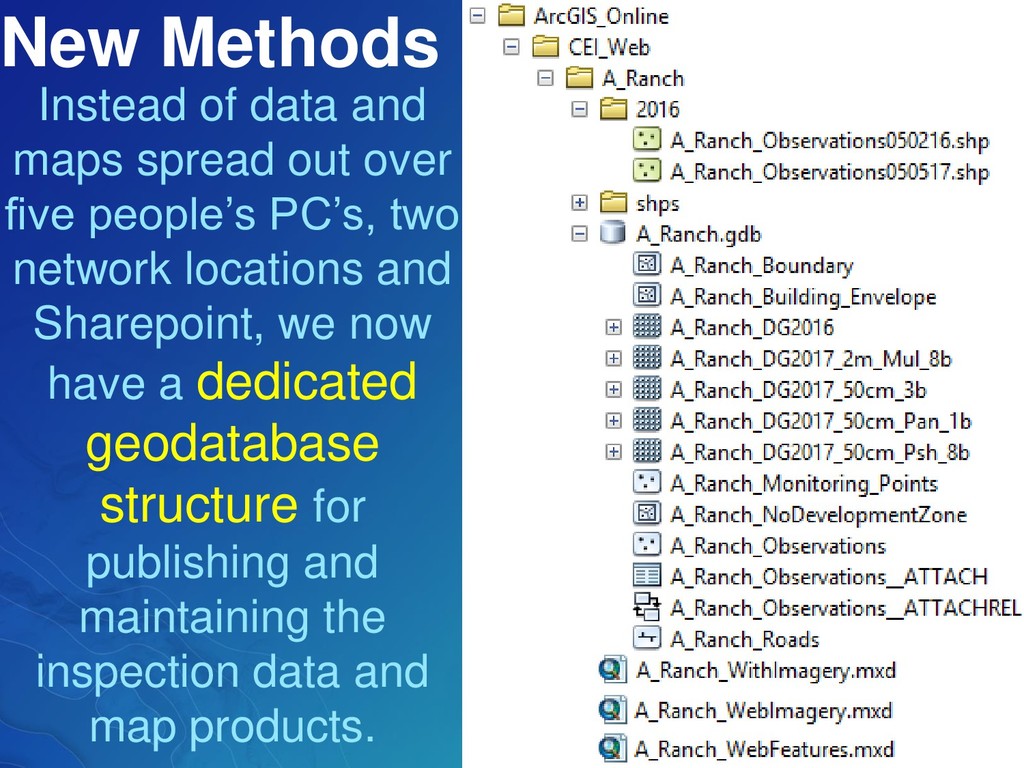
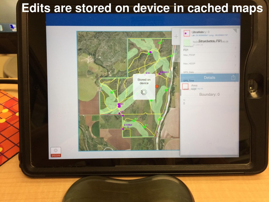
five people’s PC’s, two network locations and Sharepoint, we now have a dedicated geodatabase structure for publishing and maintaining the inspection data and map products.
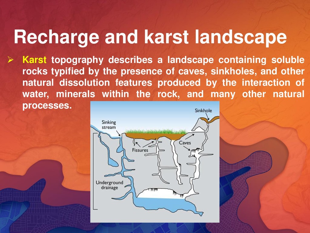
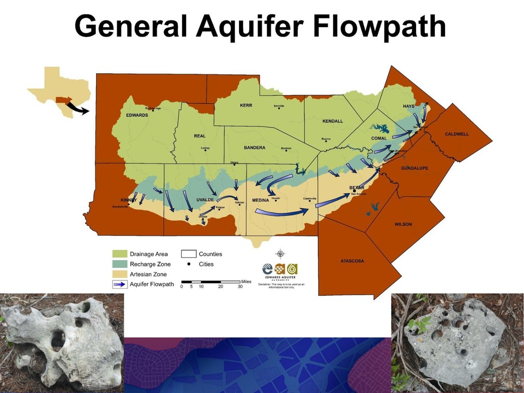
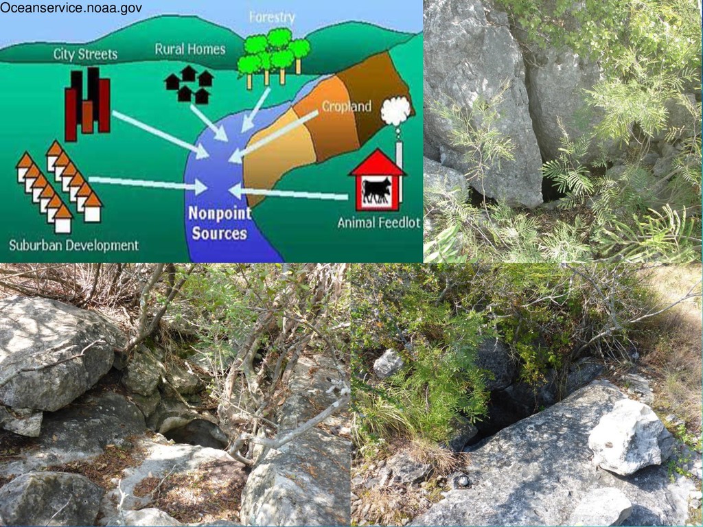
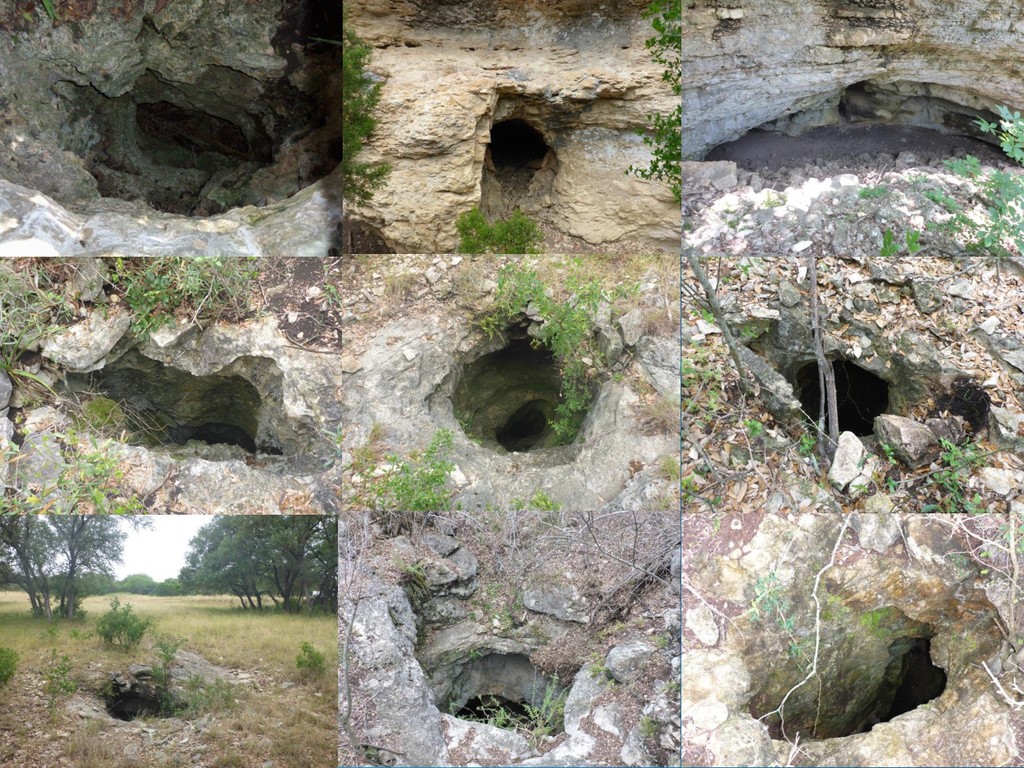
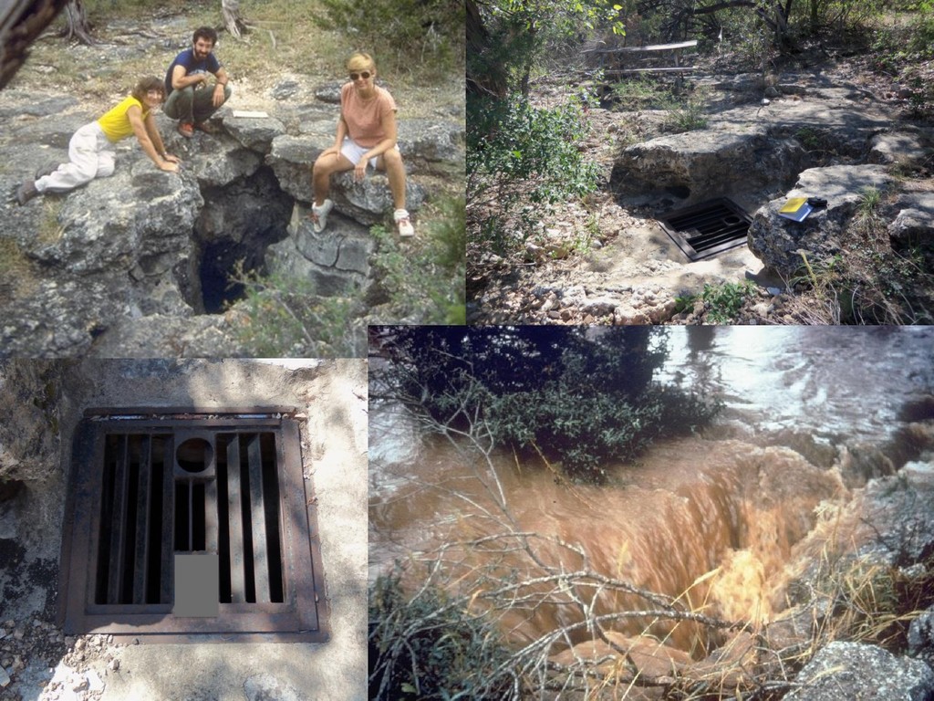
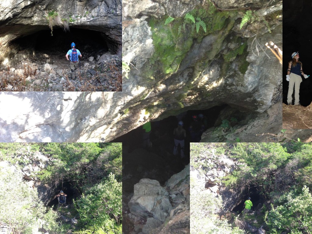
containing soluble rocks typified by the presence of caves, sinkholes, and other natural dissolution features produced by the interaction of water, minerals within the rock, and many other natural processes.
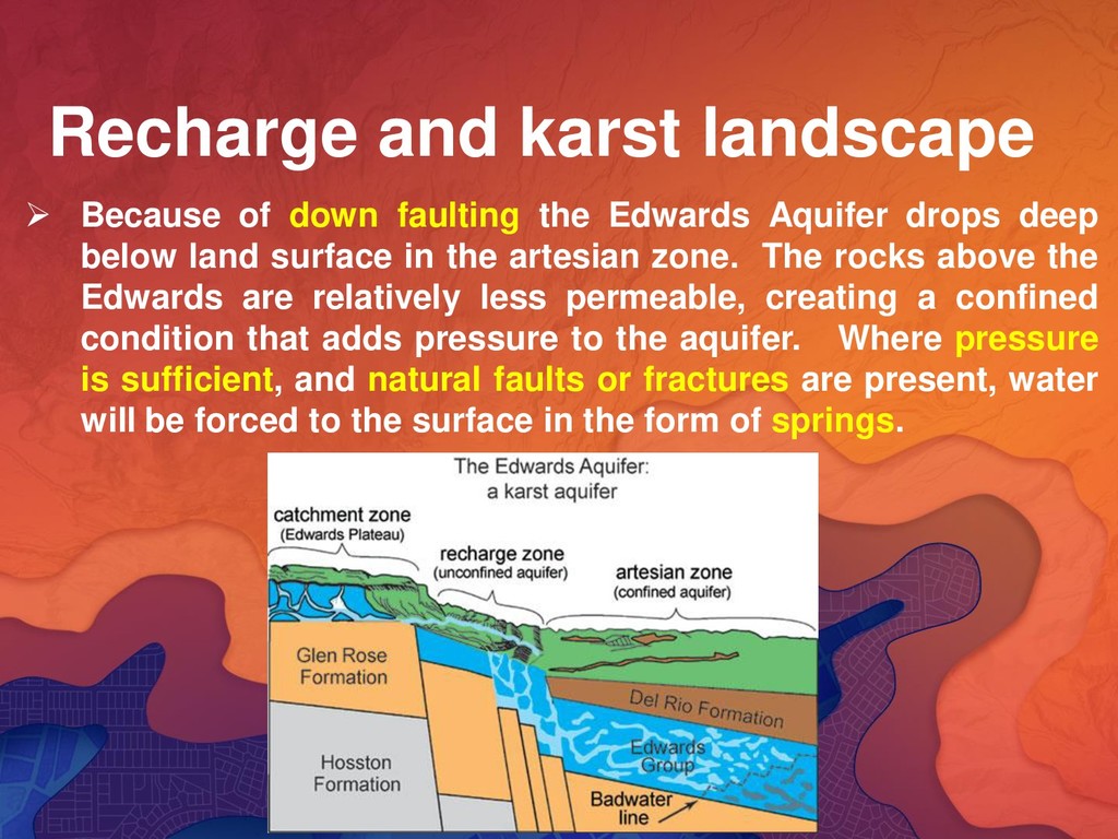
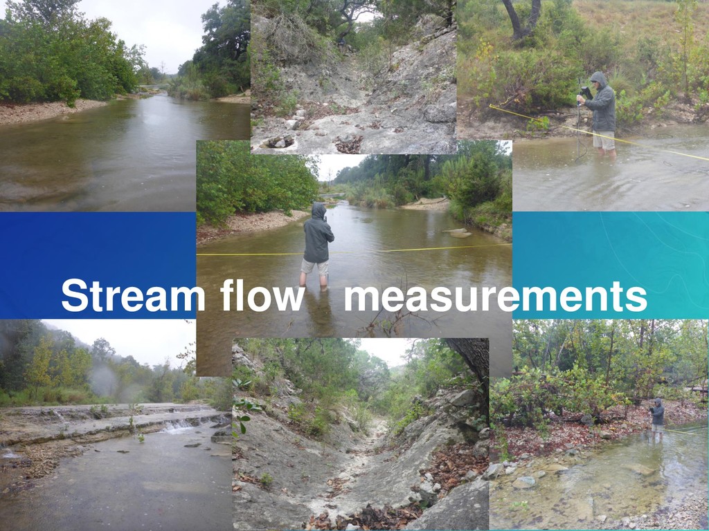
Edwards Aquifer drops deep below land surface in the artesian zone. The rocks above the Edwards are relatively less permeable, creating a confined condition that adds pressure to the aquifer. Where pressure is sufficient, and natural faults or fractures are present, water will be forced to the surface in the form of springs.
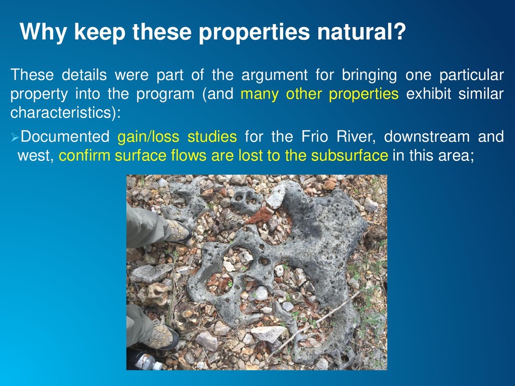
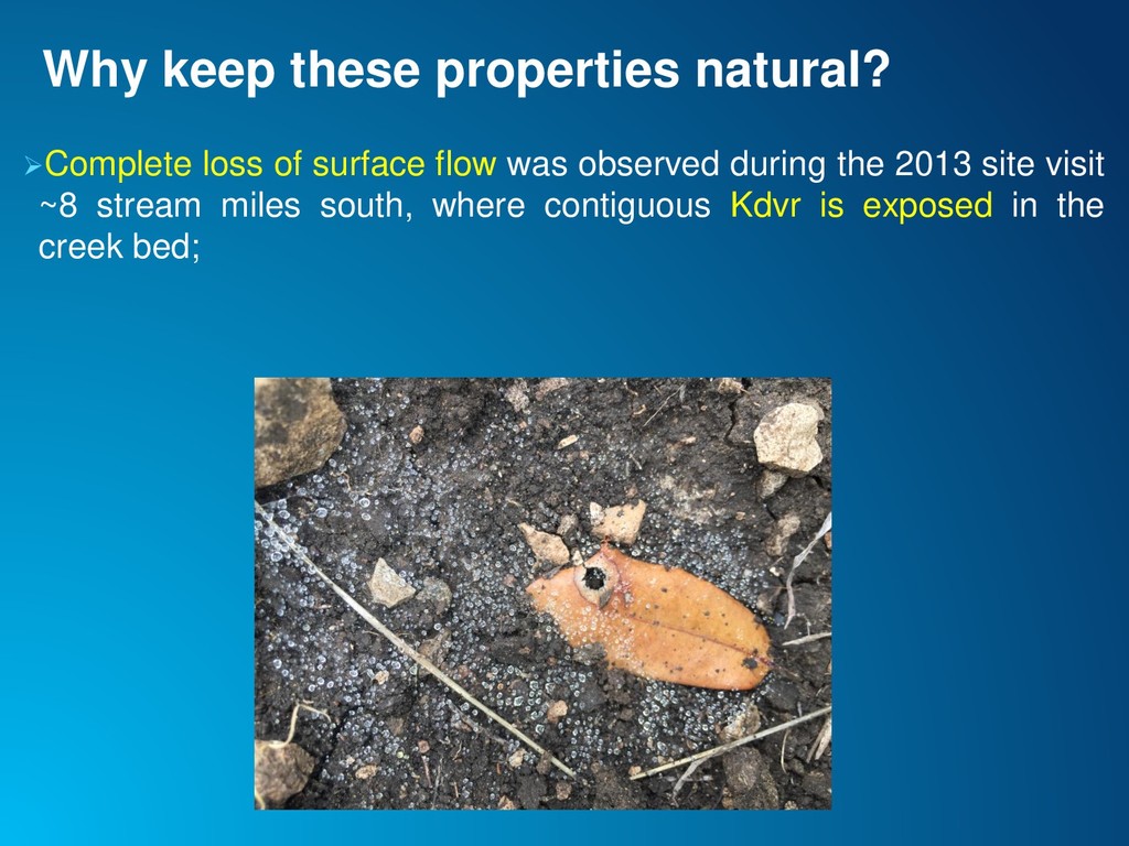
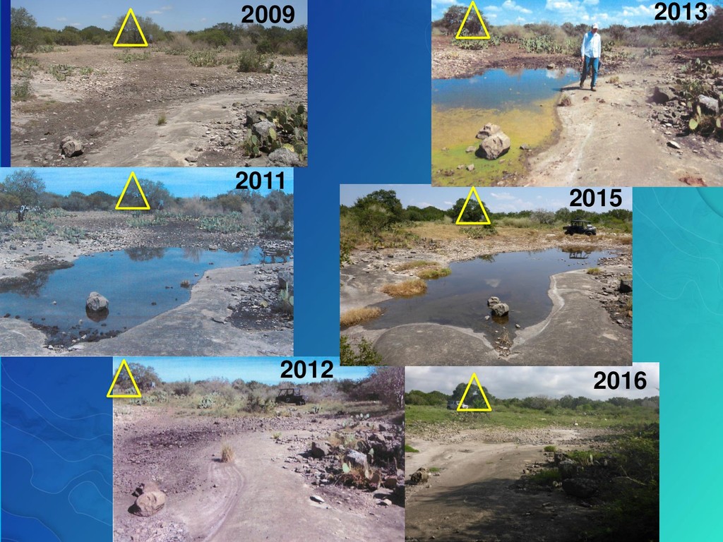
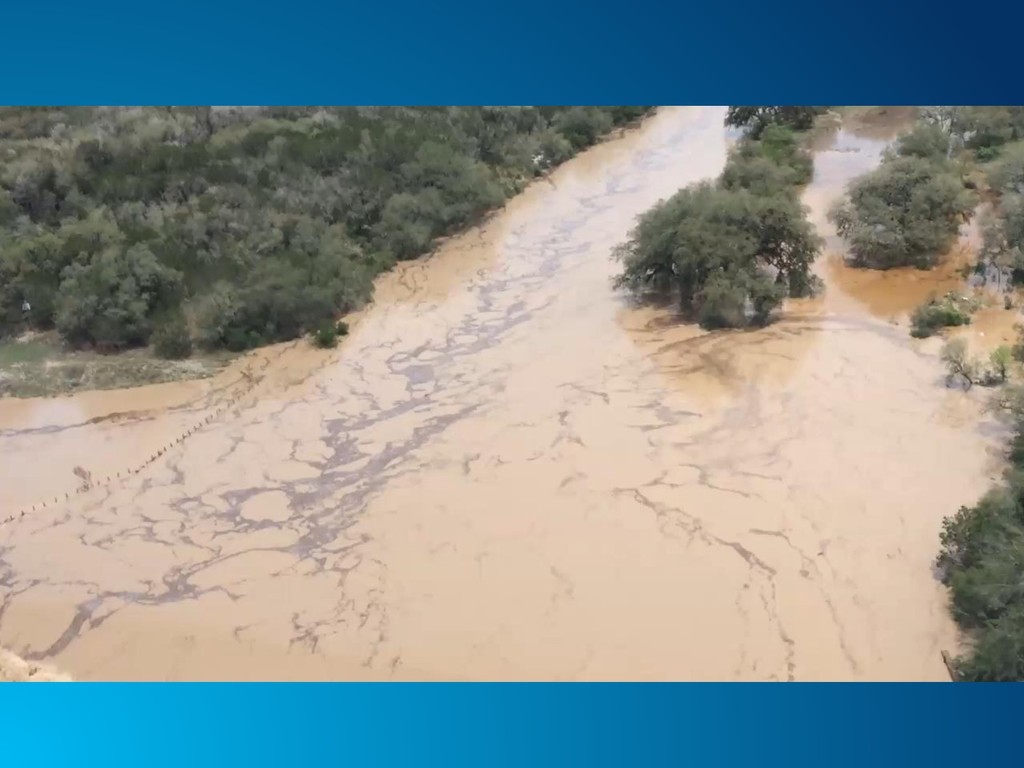
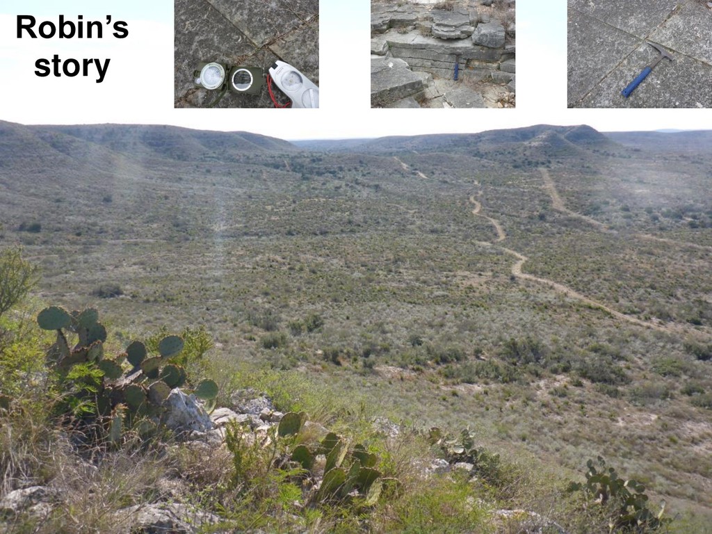
the argument for bringing one particular property into the program (and many other properties exhibit similar characteristics): ➢Documented gain/loss studies for the Frio River, downstream and west, confirm surface flows are lost to the subsurface in this area;
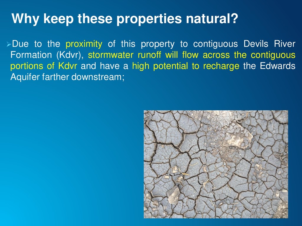
this property to contiguous Devils River Formation (Kdvr), stormwater runoff will flow across the contiguous portions of Kdvr and have a high potential to recharge the Edwards Aquifer farther downstream;
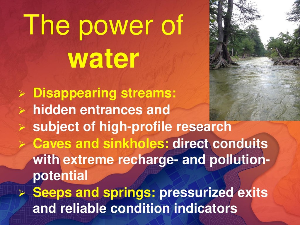
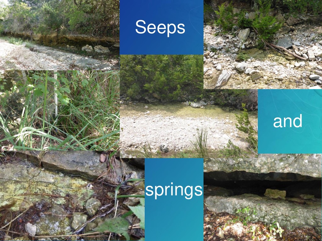
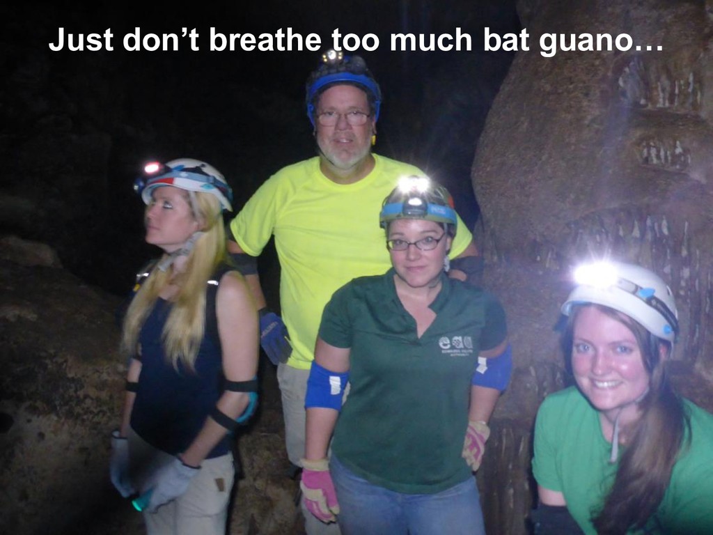
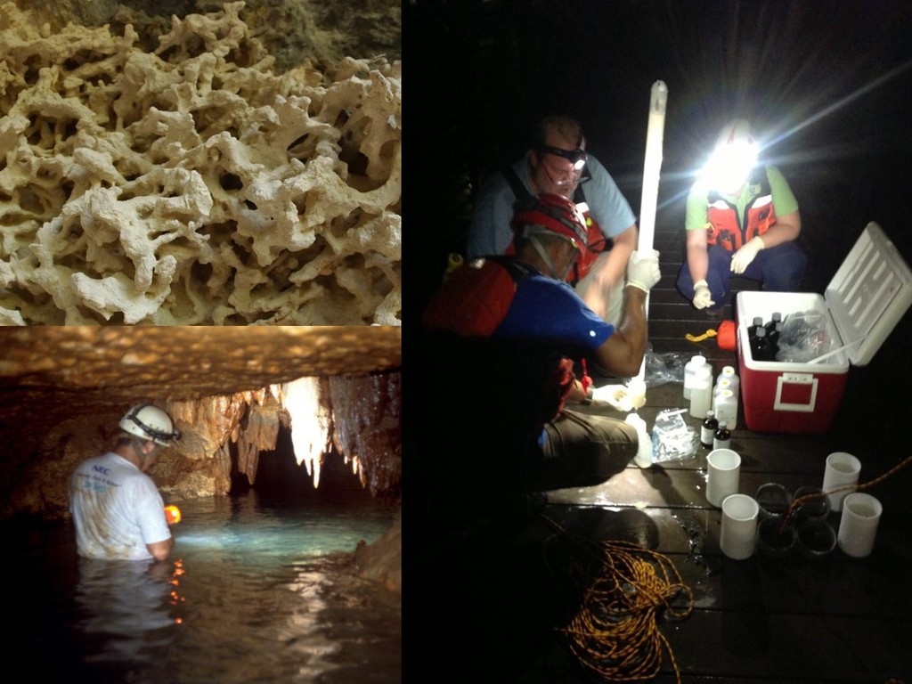
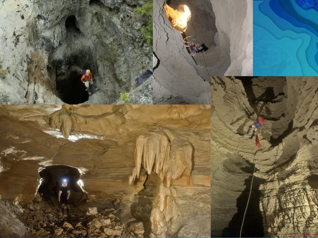
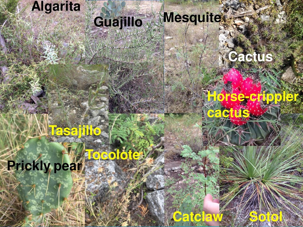
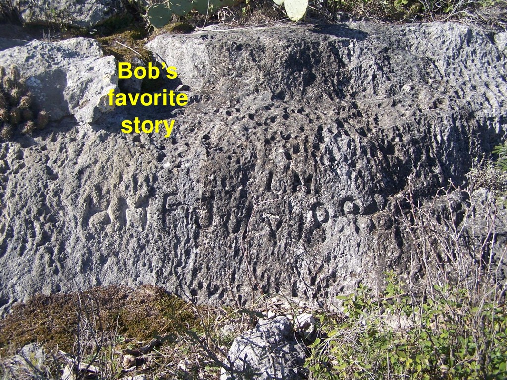
and ➢ subject of high-profile research ➢ Caves and sinkholes: direct conduits with extreme recharge- and pollution- potential ➢ Seeps and springs: pressurized exits and reliable condition indicators
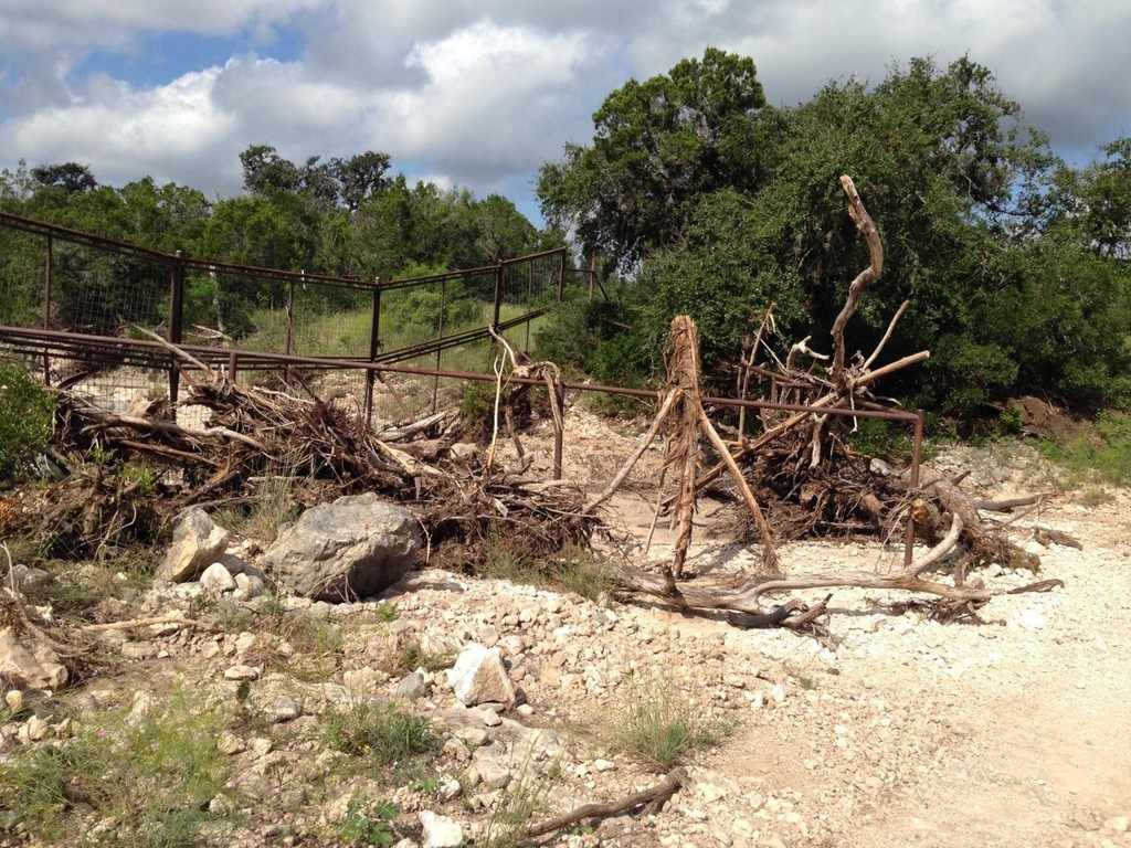
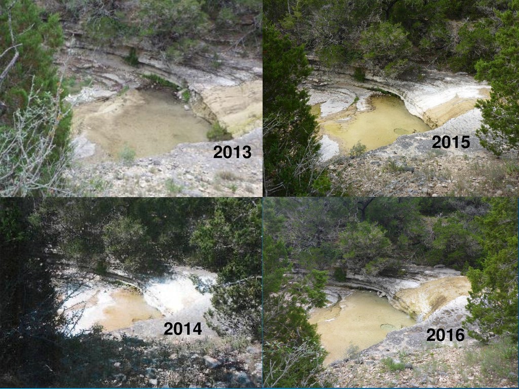
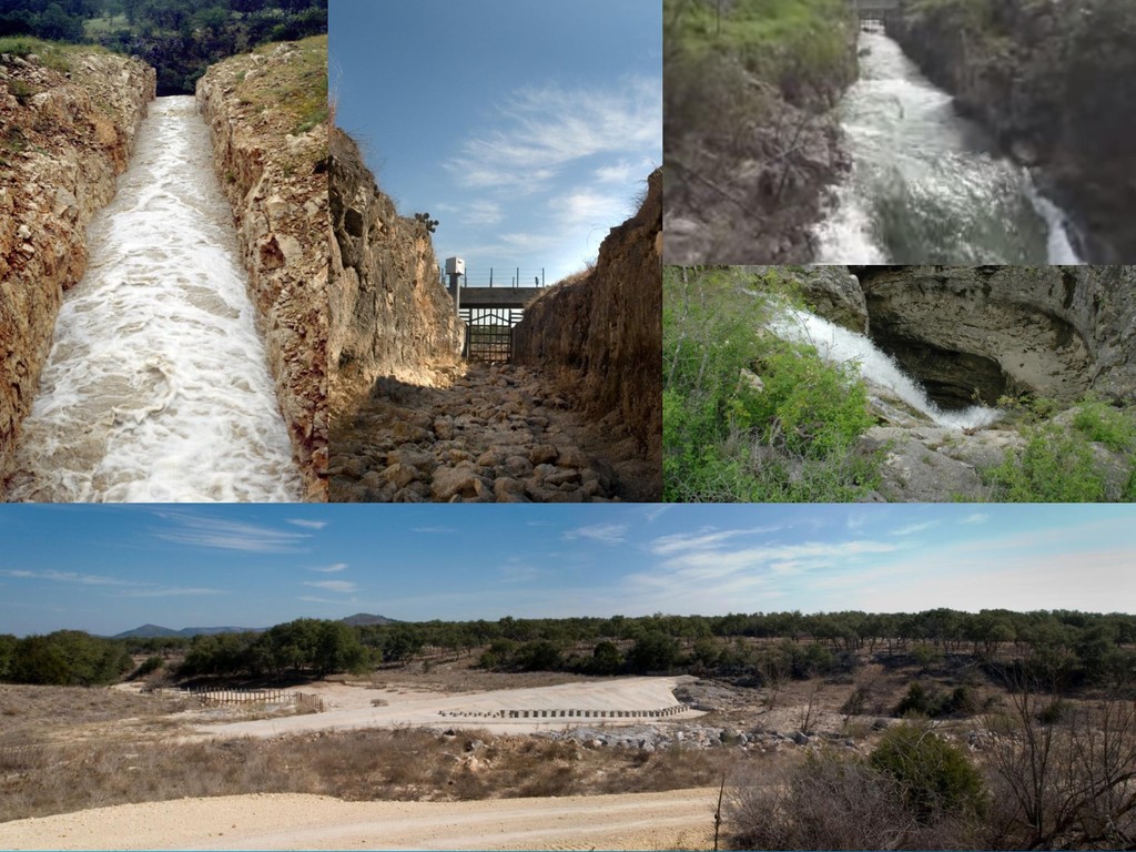
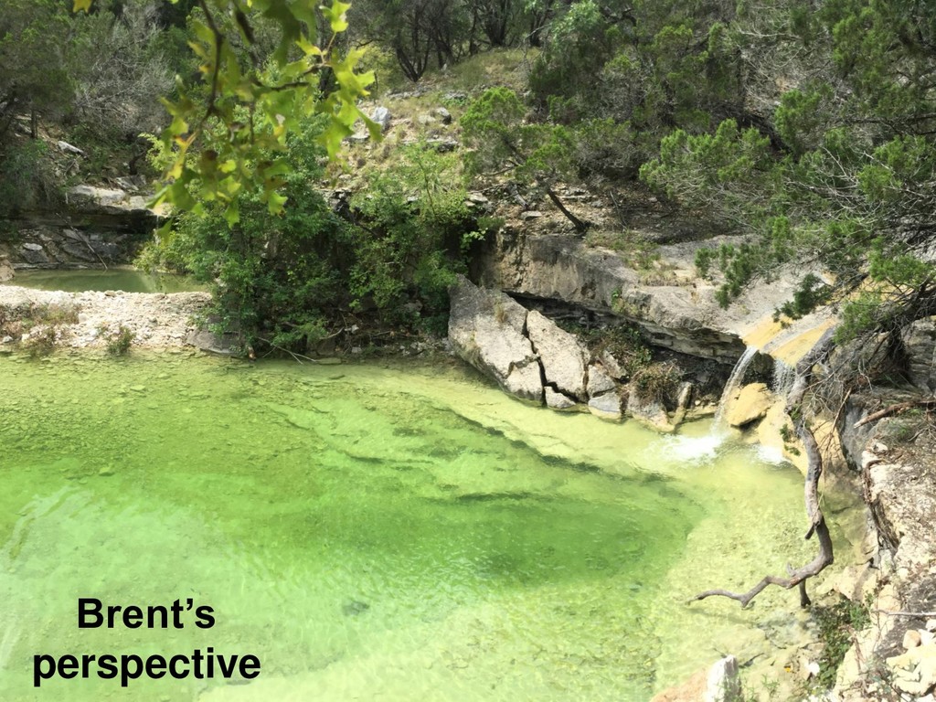
on the northwest potion of the site. Given the volume of water in the receiving pool, other seeps or springs may be present in the pools. Stratified rock layers visible at the falls indicate water may move beneath the stream bed.”
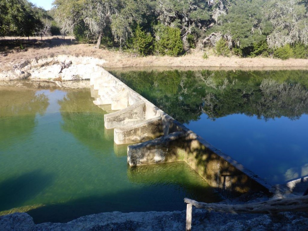
when there is no rain. The recharge dams require a substantial rain event for runoff to exceed the rate of natural recharge infiltration over the recharge zone.
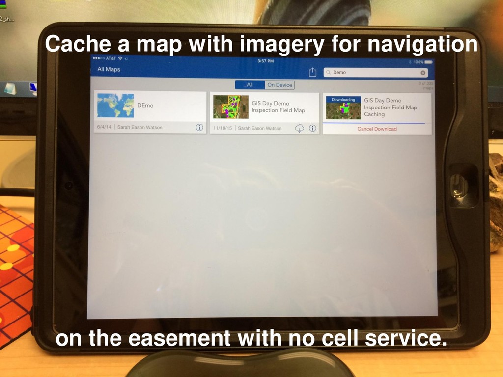
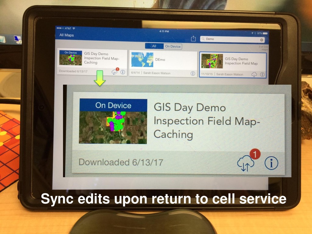
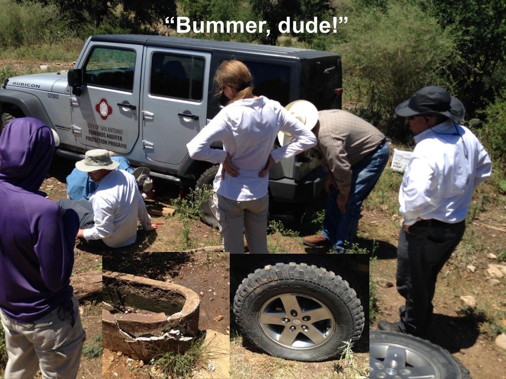
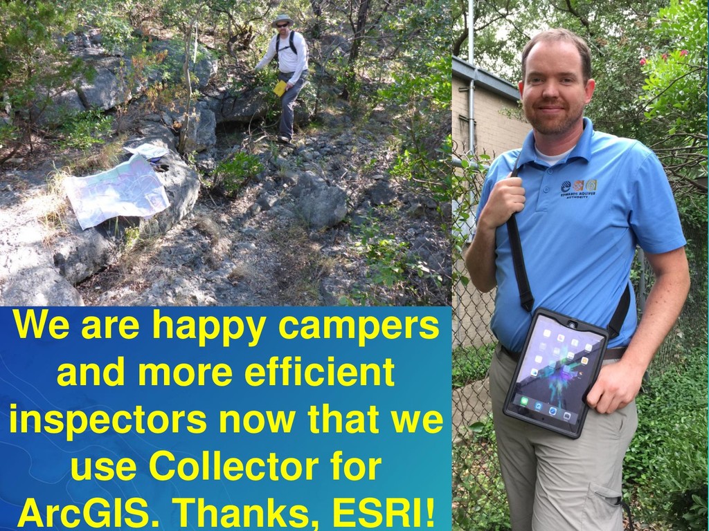
location at all times, and if there is cell service, we can find each other, too. Not having to carry all the tools replaced by Collector and mobile devices means we can carry all sorts of emergency gear… for all kinds of emergencies!