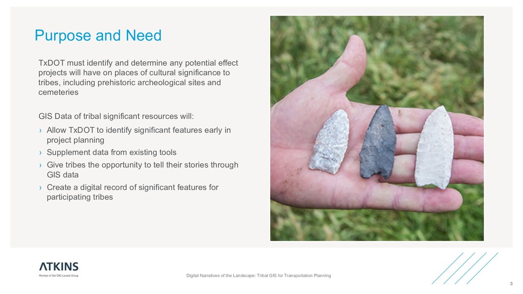
early in project planning › Supplement data from existing tools › Give tribes the opportunity to tell their stories through GIS data › Create a digital record of significant features for participating tribes Digital Narratives of the Landscape: Tribal GIS for Transportation Planning 3 TxDOT must identify and determine any potential effect projects will have on places of cultural significance to tribes, including prehistoric archeological sites and cemeteries GIS Data of tribal significant resources will:
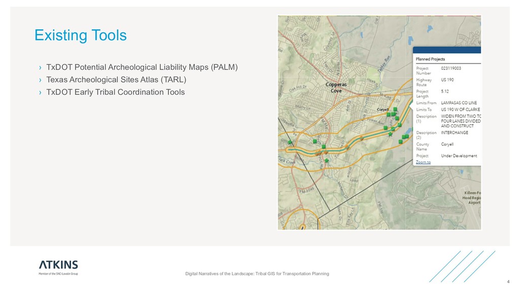
Texas Archeological Sites Atlas (TARL) › TxDOT Early Tribal Coordination Tools Digital Narratives of the Landscape: Tribal GIS for Transportation Planning 4
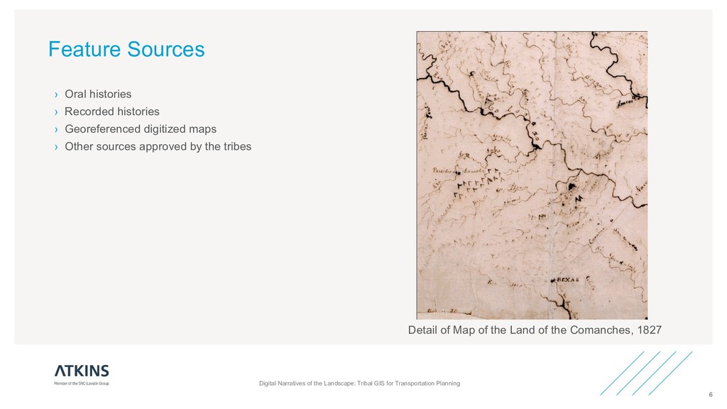
Transportation Planning 6 › Oral histories › Recorded histories › Georeferenced digitized maps › Other sources approved by the tribes Detail of Map of the Land of the Comanches, 1827
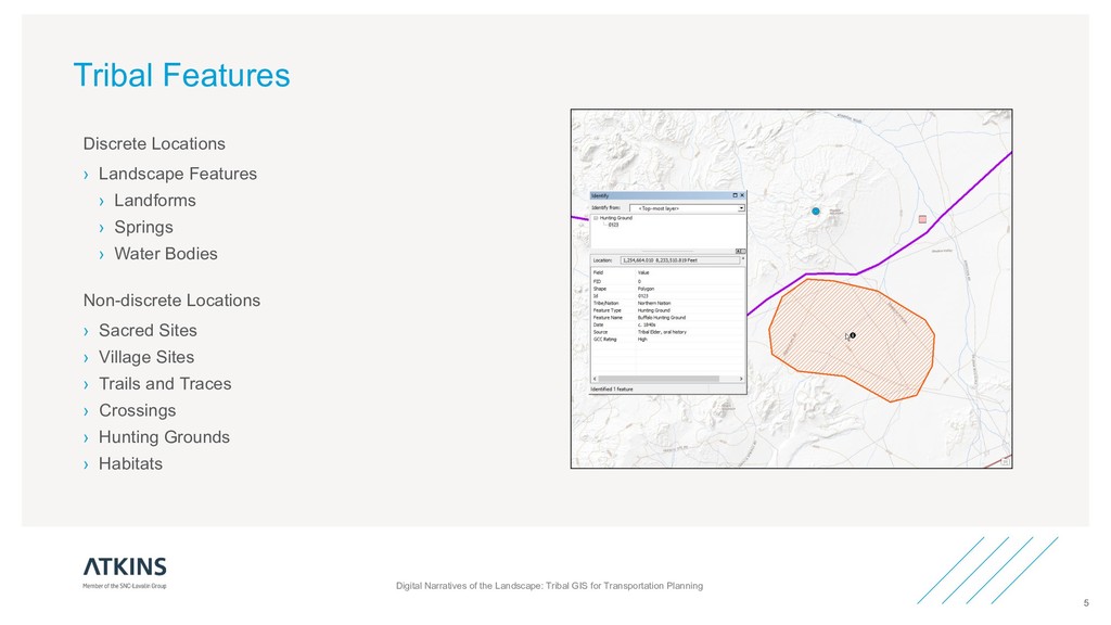
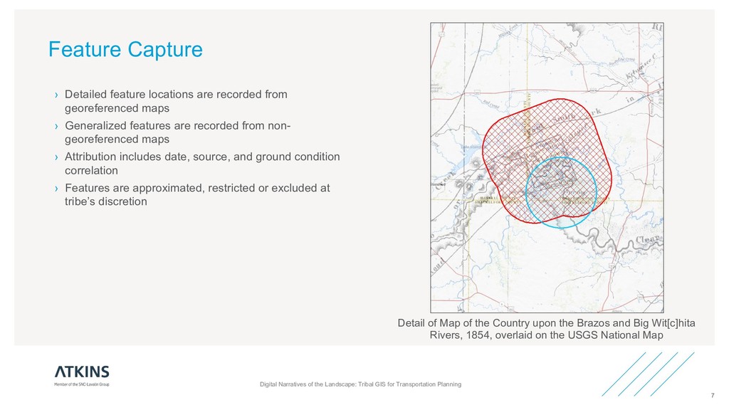
Transportation Planning 7 › Detailed feature locations are recorded from georeferenced maps › Generalized features are recorded from non- georeferenced maps › Attribution includes date, source, and ground condition correlation › Features are approximated, restricted or excluded at tribe’s discretion Detail of Map of the Country upon the Brazos and Big Wit[c]hita Rivers, 1854, overlaid on the USGS National Map
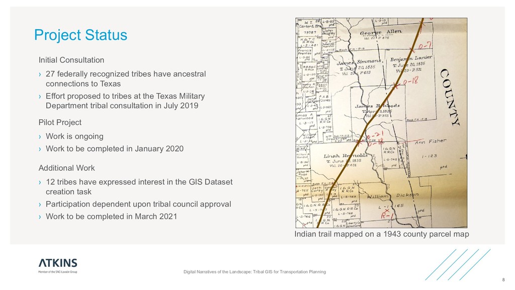
Transportation Planning 8 Pilot Project › Work is ongoing › Work to be completed in January 2020 Initial Consultation › 27 federally recognized tribes have ancestral connections to Texas › Effort proposed to tribes at the Texas Military Department tribal consultation in July 2019 Additional Work › 12 tribes have expressed interest in the GIS Dataset creation task › Participation dependent upon tribal council approval › Work to be completed in March 2021 Indian trail mapped on a 1943 county parcel map