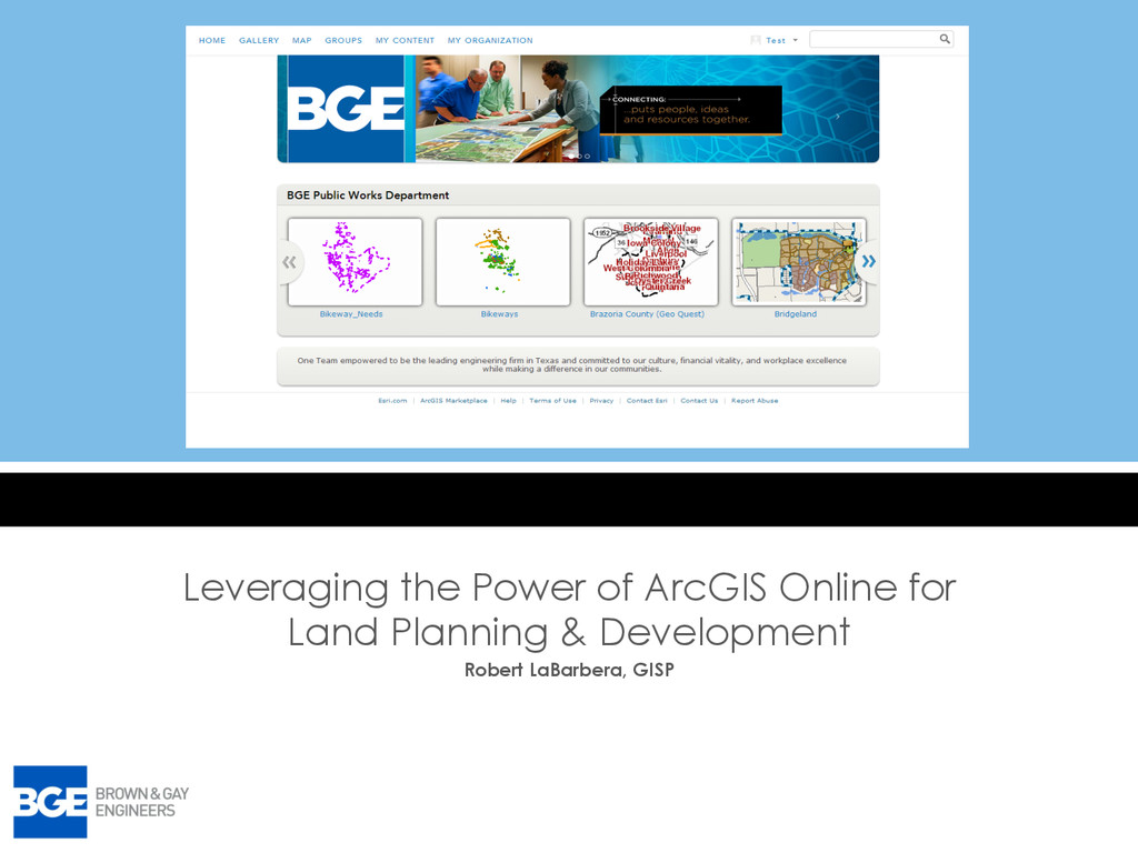
– Learn how BGE services connect, establish groups and view content via ArcGIS Online • Land Planning and Development Issues: – Communication, – Marketing, – Basic map viewing • ArcGIS Online Solution – Easy to use and viewed on any OS – Easy to tracks current and future potential projects
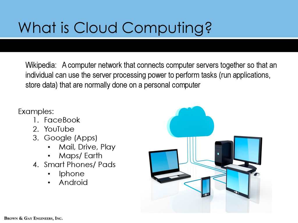
computer servers together so that an individual can use the server processing power to perform tasks (run applications, store data) that are normally done on a personal computer Examples: 1. FaceBook 2. YouTube 3. Google (Apps) • Mail, Drive, Play • Maps/ Earth 4. Smart Phones/ Pads • Iphone • Android
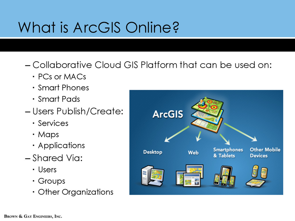
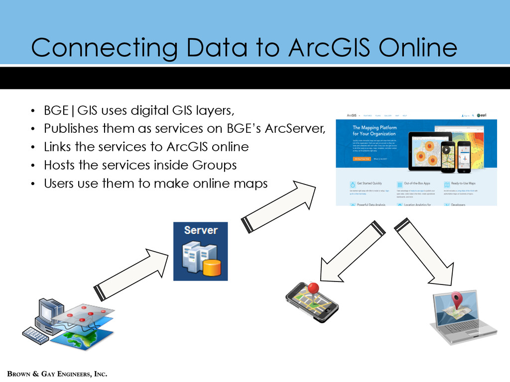
layers, • Publishes them as services on BGE’s ArcServer, • Links the services to ArcGIS online • Hosts the services inside Groups • Users use them to make online maps
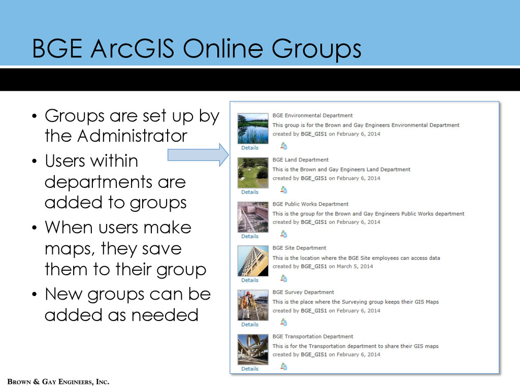
the Administrator • Users within departments are added to groups • When users make maps, they save them to their group • New groups can be added as needed
Needed to track new and existing projects better, • Needed a way to show clients where new development could be built, • Need to determine basic attributes about vacant land such as – Topography, – Hydrography, – Susceptibility to flooding – Future major thoroughfare routes
ArcGIS Online to GIS Manager • ArcGIS groups were created – Internal staff – Potential external clients – Private group for key stakeholders • Testing the prototype BGE ArcGIS site – Easier to communicate between departments – Easier to show potential clients where development could occur