Upgrade to Pro — share decks privately, control downloads, hide ads and more …

Tech Demo: Modern Web Mapping Delivers Value for Residents, Businesses and Government Staff

Tech Demo: Modern Web Mapping Delivers Value for Residents, Businesses and Government Staff

Presented by:
Kate Hickey, Director of Local Gov’t Services

More Decks by Texas Natural Resources Information System

Other Decks in Technology

Transcript

  1. Modern  Web  Mapping  Delivers  Value  for   Residents,  Businesses  and

     Government  Staff   Kate  Hickey   Director  of  Local  Gov’t  Services  
  2.          ©2014  Applied  Geographics,  Inc.  Slide  2

      My  PerspecEve   •  Interac;ve  web  mapping  started  out  as  a  way  to   reach  beyond  GIS  professionals   •  But  now  there  are  much  bigger  opportuni;es     •  Working  with  munis  for   15  years   •  Seen  lots  of  different   approaches,  opera;ons  
  3.          ©2014  Applied  Geographics,  Inc.  Slide  3

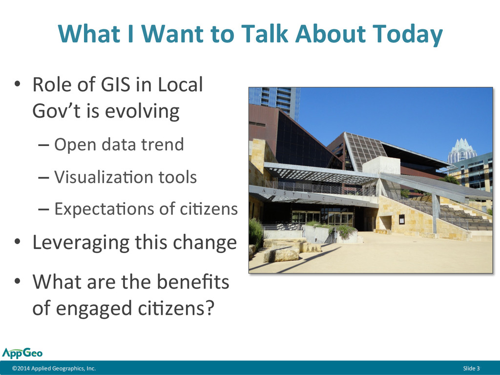
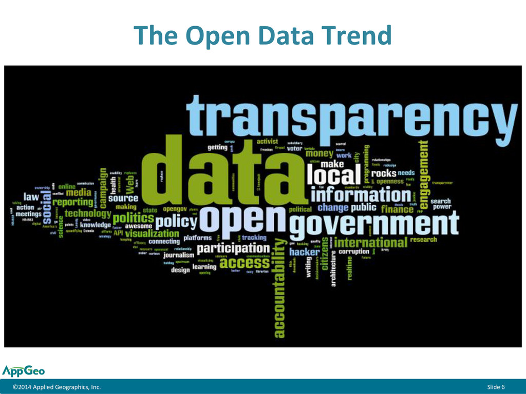
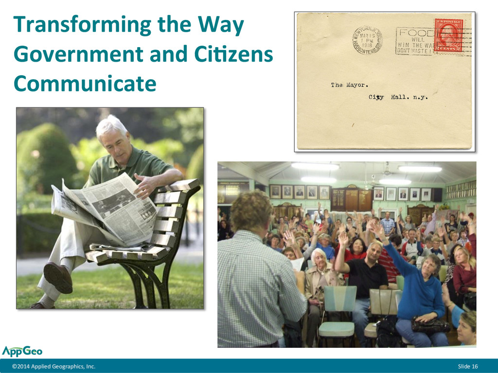
      •  Role  of  GIS  in  Local   Gov’t  is  evolving   – Open  data  trend   – Visualiza;on  tools   – Expecta;ons  of  ci;zens   •  Leveraging  this  change   •  What  are  the  benefits   of  engaged  ci;zens?   What  I  Want  to  Talk  About  Today  
  4.          ©2014  Applied  Geographics,  Inc.  Slide  4

      Success  of  a  Government’s  GIS  should  be   measured  by  the  value  it  brings  to  the   City  as  whole.    
  5.          ©2014  Applied  Geographics,  Inc.  Slide  7

      -­‐  Slide  courtesy  of  Bill  Johnson,  NY  State  GIO,  September  2014  NSGIC  presenta;on  
  6.          ©2014  Applied  Geographics,  Inc.  Slide  8

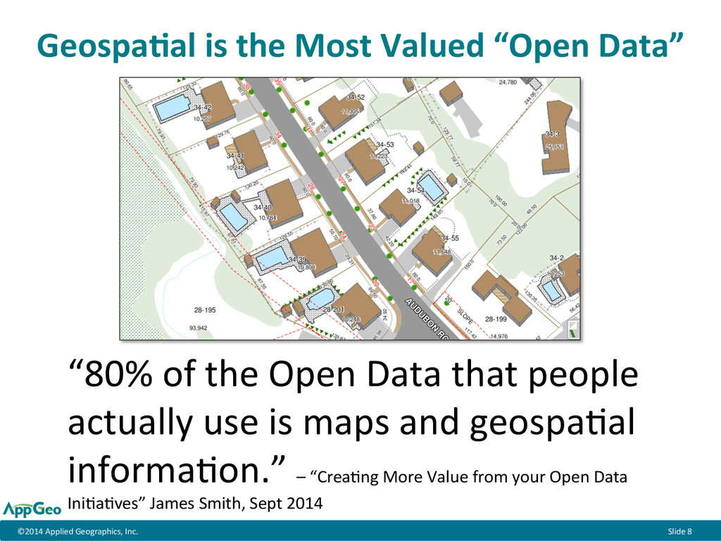
      GeospaEal  is  the  Most  Valued  “Open  Data”   “80%  of  the  Open  Data  that  people   actually  use  is  maps  and  geospa;al   informa;on.”  –  “Crea;ng  More  Value  from  your  Open  Data   Ini;a;ves”  James  Smith,  Sept  2014  
  7.          ©2014  Applied  Geographics,  Inc.  Slide  9

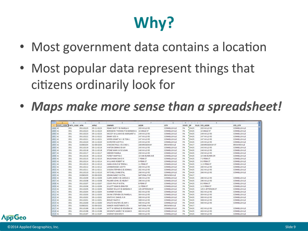
      Why?   •  Most  government  data  contains  a  loca;on   •  Most  popular  data  represent  things  that   ci;zens  ordinarily  look  for   •  Maps  make  more  sense  than  a  spreadsheet!  
  8.          ©2014  Applied  Geographics,  Inc.  Slide  10

      Opportunity!     Enrich  the  experience  and  engage  the  public!  
  9.          ©2014  Applied  Geographics,  Inc.  Slide  11

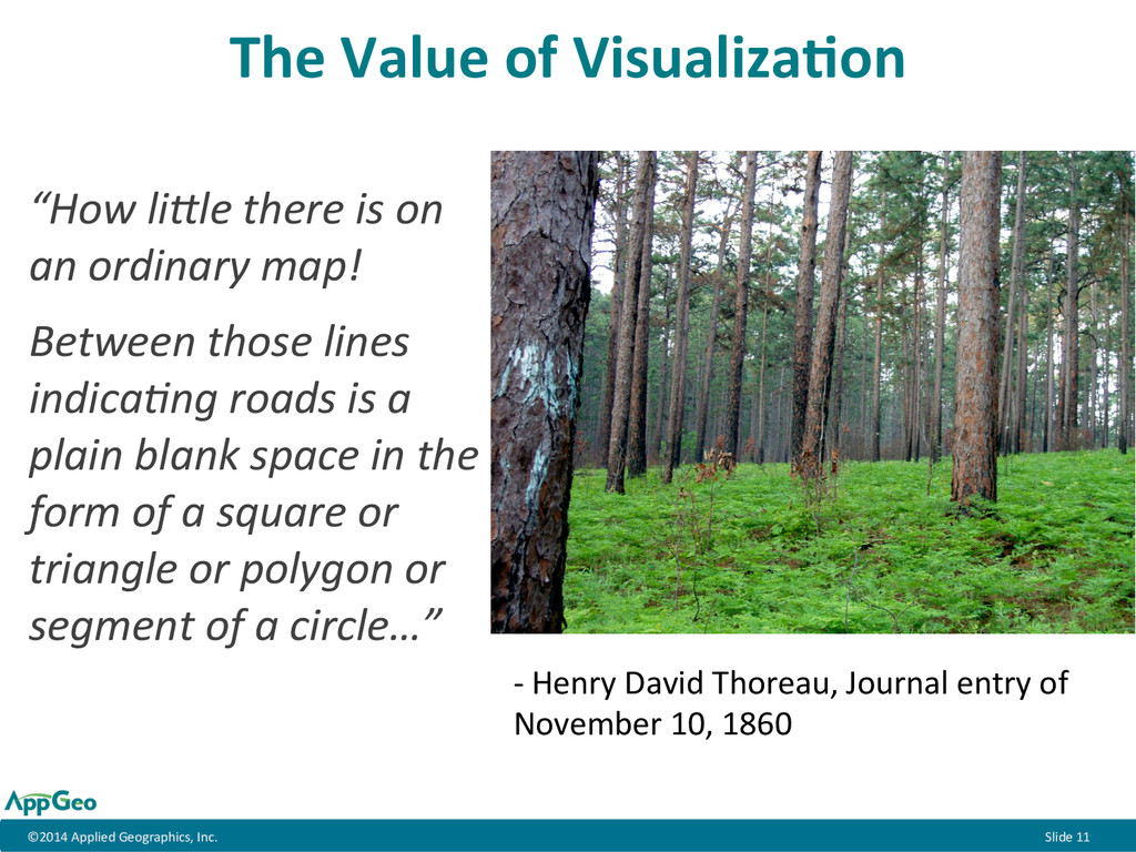
      The  Value  of  VisualizaEon   “How  li(le  there  is  on   an  ordinary  map!     Between  those  lines   indica7ng  roads  is  a   plain  blank  space  in  the   form  of  a  square  or   triangle  or  polygon  or   segment  of  a  circle…”   -­‐  Henry  David  Thoreau,  Journal  entry  of   November  10,  1860  
  10.          ©2014  Applied  Geographics,  Inc.  Slide  12

      VisualizaEon:  ConnecEng  People  to  Places   Deliver  maps  that  are  more  “real”,  tangible,  engaging  
  11.          ©2014  Applied  Geographics,  Inc.  Slide  13

      VisualizaEon:  ConnecEng  People  to   Local  Resources  
  12.          ©2014  Applied  Geographics,  Inc.  Slide  14

      VisualizaEon:  CommunicaEng   Character  of  Place  
  13.          ©2014  Applied  Geographics,  Inc.  Slide  15

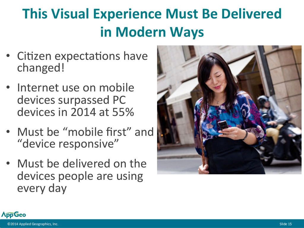
      This  Visual  Experience  Must  Be  Delivered   in  Modern  Ways   •  Ci;zen  expecta;ons  have   changed!   •  Internet  use  on  mobile   devices  surpassed  PC   devices  in  2014  at  55%   •  Must  be  “mobile  first”  and   “device  responsive”   •  Must  be  delivered  on  the   devices  people  are  using   every  day  
  14.          ©2014  Applied  Geographics,  Inc.  Slide  16

      Transforming  the  Way   Government  and  CiEzens   Communicate  
  15.          ©2014  Applied  Geographics,  Inc.  Slide  17

      Transparency  itself  does  nothing  to   improve  communi;es.  There  must   be  the  next  step  of  engagement  
  16.          ©2014  Applied  Geographics,  Inc.  Slide  18

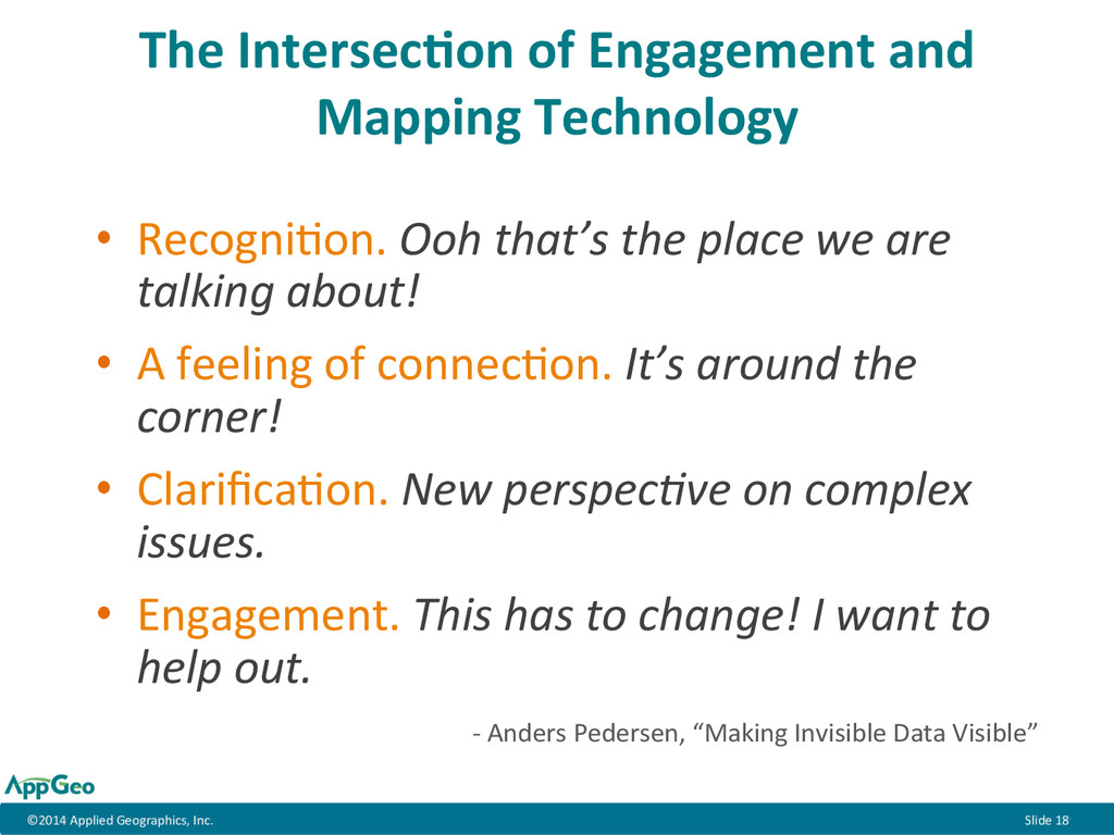
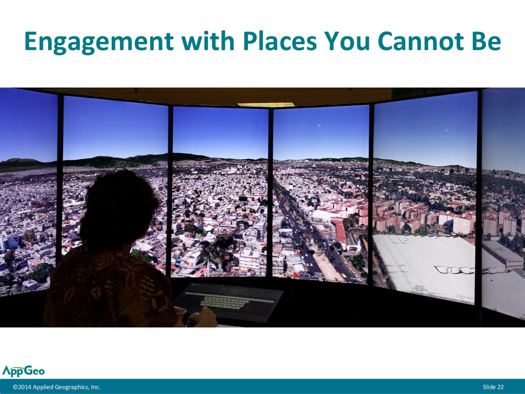
      The  IntersecEon  of  Engagement  and   Mapping  Technology   •  Recogni;on.  Ooh  that’s  the  place  we  are   talking  about!   •  A  feeling  of  connec;on.  It’s  around  the   corner!   •  Clarifica;on.  New  perspec7ve  on  complex   issues.   •  Engagement.  This  has  to  change!  I  want  to   help  out.      -­‐  Anders  Pedersen,  “Making  Invisible  Data  Visible”  
  17.          ©2014  Applied  Geographics,  Inc.  Slide  22

      Engagement  with  Places  You  Cannot  Be  
  18.          ©2014  Applied  Geographics,  Inc.  Slide  23

      Benefits  of  an  Engaged  Community   •  Greater  buy-­‐in  to  decisions  with  fewer  backlashes   such  as  lawsuits,  special  elec;ons,  or  recall   •  More  successful  outcomes  on  toxic  issues   •  Befer  and  more  crea;ve  ideas  and  solu;ons   •  Faster  implementa;on  of  ideas,  programs,  and   policies   •  Crea;ng  involved  ci;zens  instead  of  demanding   customers  
  19.          ©2014  Applied  Geographics,  Inc.  Slide  24

      Put  your  resources  toward  crea;ng  modern,   visually  rich,  mobile  applica;ons  that  will   engage  your  ci;zens  and  inspire  change  in   your  community.     The  Punchline