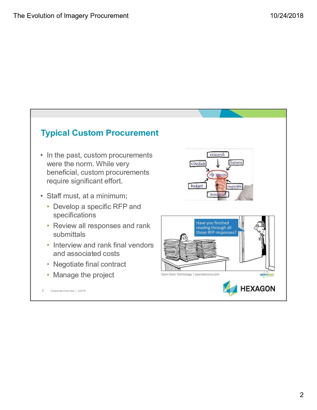
2/2/16 2 Typical Custom Procurement • In the past, custom procurements were the norm. While very beneficial, custom procurements require significant effort. • Staff must, at a minimum; • Develop a specific RFP and specifications • Review all responses and rank submittals • Interview and rank final vendors and associated costs • Negotiate final contract • Manage the project
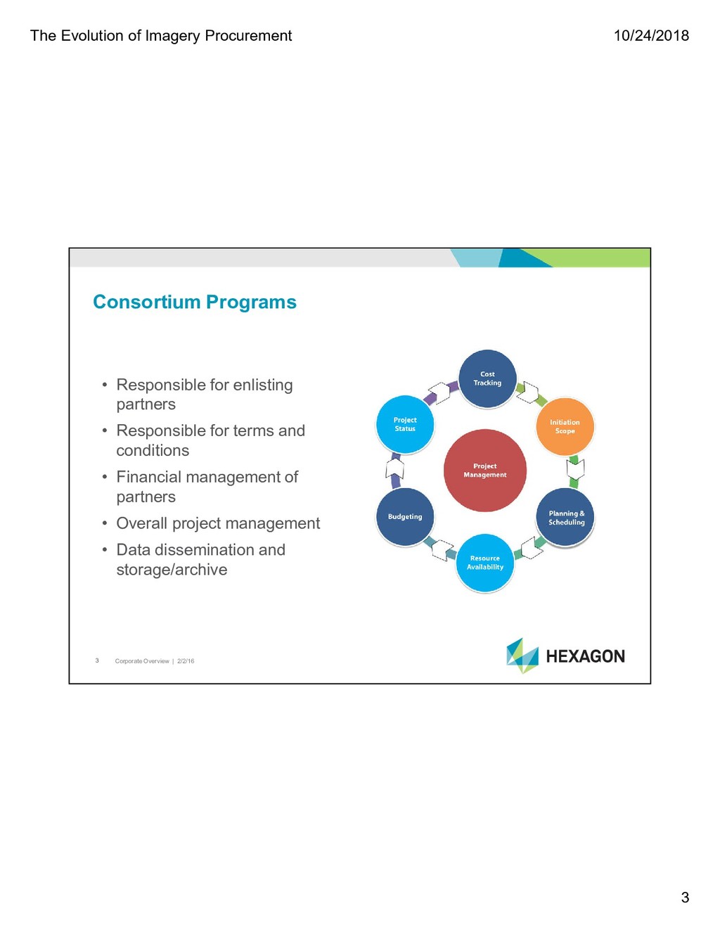
2/2/16 3 Consortium Programs • Responsible for enlisting partners • Responsible for terms and conditions • Financial management of partners • Overall project management • Data dissemination and storage/archive
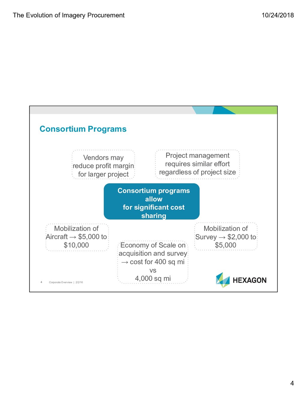
2/2/16 4 Consortium Programs Consortium programs allow for significant cost sharing Mobilization of Aircraft → $5,000 to $10,000 Mobilization of Survey → $2,000 to $5,000 Economy of Scale on acquisition and survey → cost for 400 sq mi vs 4,000 sq mi Project management requires similar effort regardless of project size Vendors may reduce profit margin for larger project
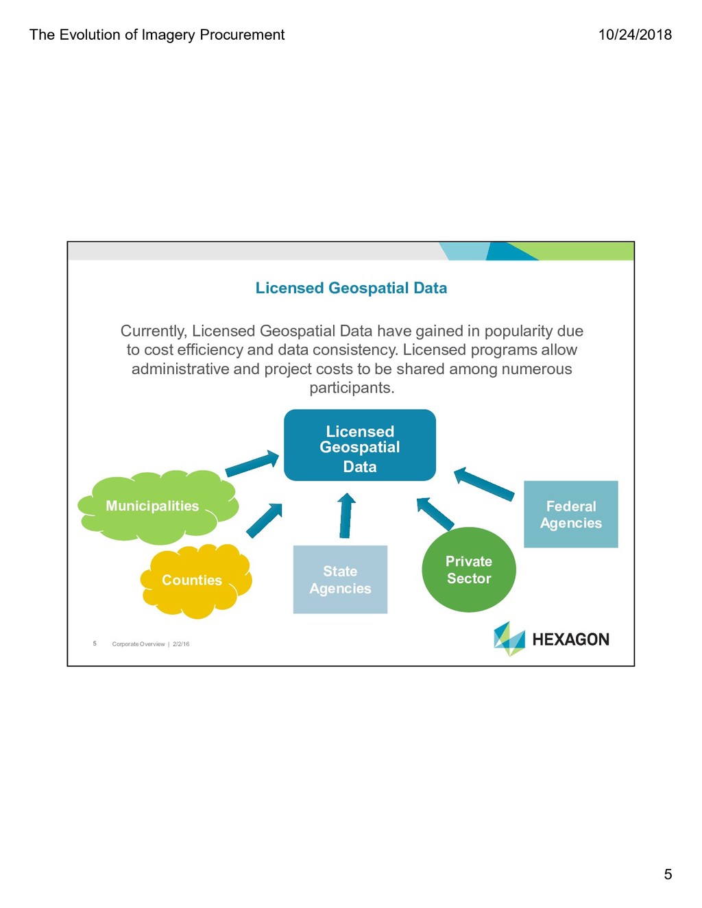
2/2/16 5 Licensed Geospatial Data Currently, Licensed Geospatial Data have gained in popularity due to cost efficiency and data consistency. Licensed programs allow administrative and project costs to be shared among numerous participants. State Agencies Federal Agencies Municipalities Counties Private Sector Licensed Geospatial Data
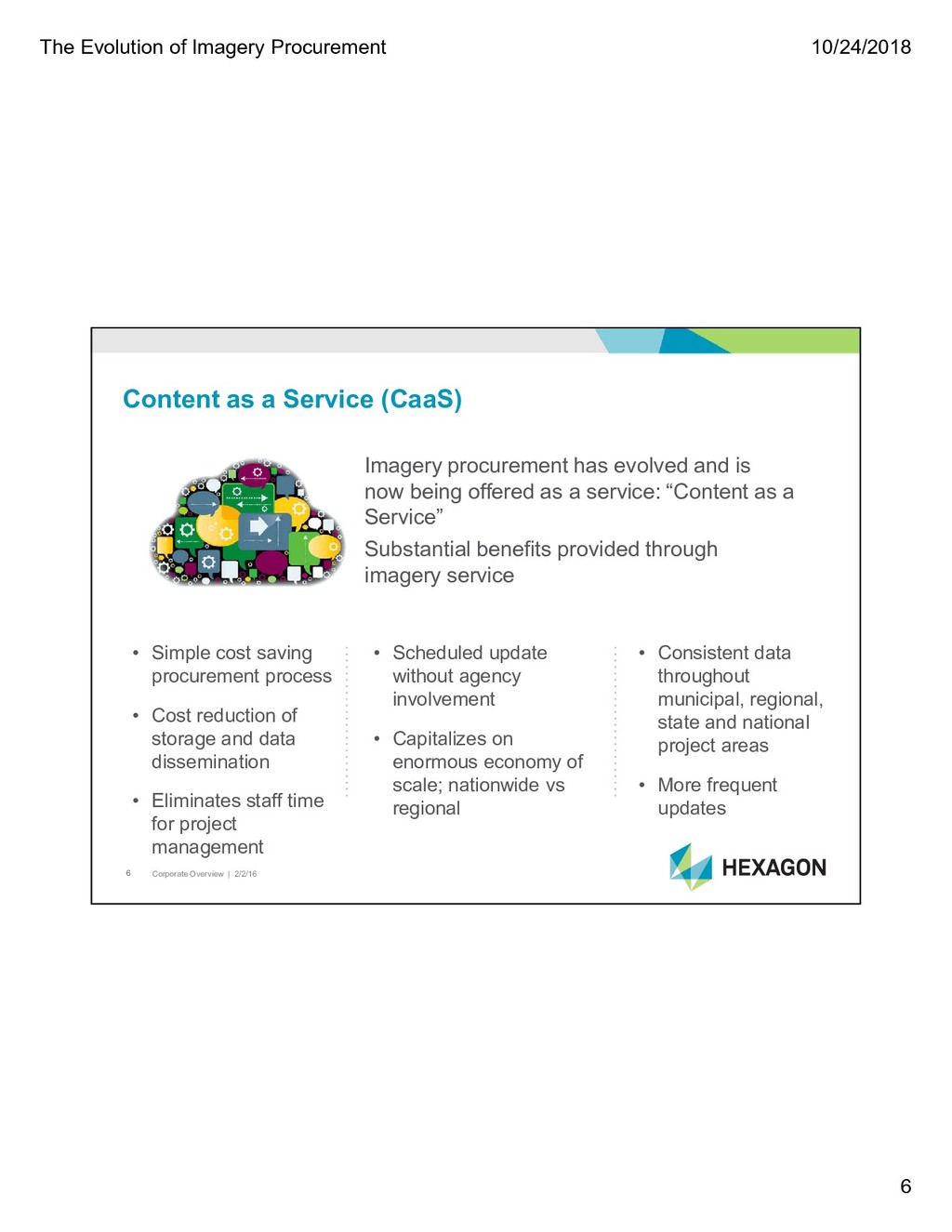
2/2/16 6 Content as a Service (CaaS) Imagery procurement has evolved and is now being offered as a service: “Content as a Service” Substantial benefits provided through imagery service • Simple cost saving procurement process • Cost reduction of storage and data dissemination • Eliminates staff time for project management • Scheduled update without agency involvement • Capitalizes on enormous economy of scale; nationwide vs regional • Consistent data throughout municipal, regional, state and national project areas • More frequent updates
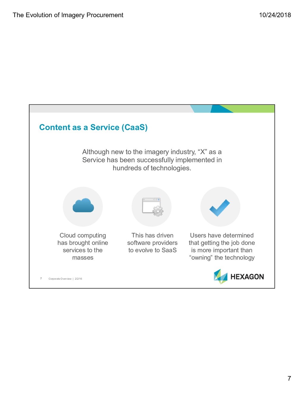
2/2/16 7 Content as a Service (CaaS) Although new to the imagery industry, “X” as a Service has been successfully implemented in hundreds of technologies. Cloud computing has brought online services to the masses This has driven software providers to evolve to SaaS Users have determined that getting the job done is more important than “owning” the technology
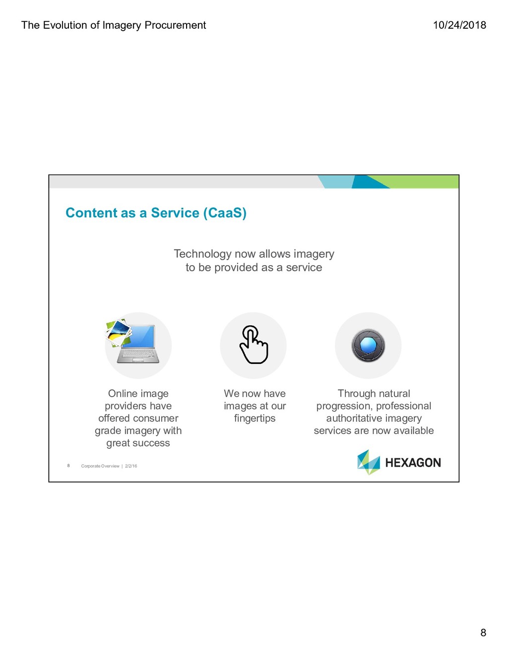
2/2/16 8 Content as a Service (CaaS) Technology now allows imagery to be provided as a service Online image providers have offered consumer grade imagery with great success We now have images at our fingertips Through natural progression, professional authoritative imagery services are now available
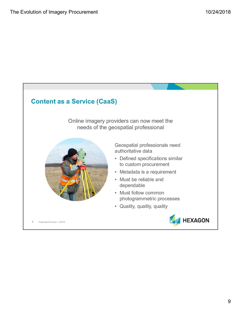
2/2/16 9 Content as a Service (CaaS) Online imagery providers can now meet the needs of the geospatial professional Geospatial professionals need authoritative data • Defined specifications similar to custom procurement • Metadata is a requirement • Must be reliable and dependable • Must follow common photogrammetric processes • Quality, quality, quality
2/2/16 10 Content as a Service (CaaS) Similar to software, authoritative ortho imagery services are provided via a license agreement Image data is not “owned” by the user Users should have unlimited use of online data Hard delivery should be available; PSAP’s, insufficient internet coverage, internal App’s, etc. Ownership is no longer the issue; it’s the ability to get your work done!
2/2/16 11 Content as a Service (CaaS) Due Diligence…. Make sure the data meets your needs Understand the licensing terms What is the future of the CaaS provider - is this core to their business? Understand the pricing models - what is the full cost with “buy ups”, is it easy?
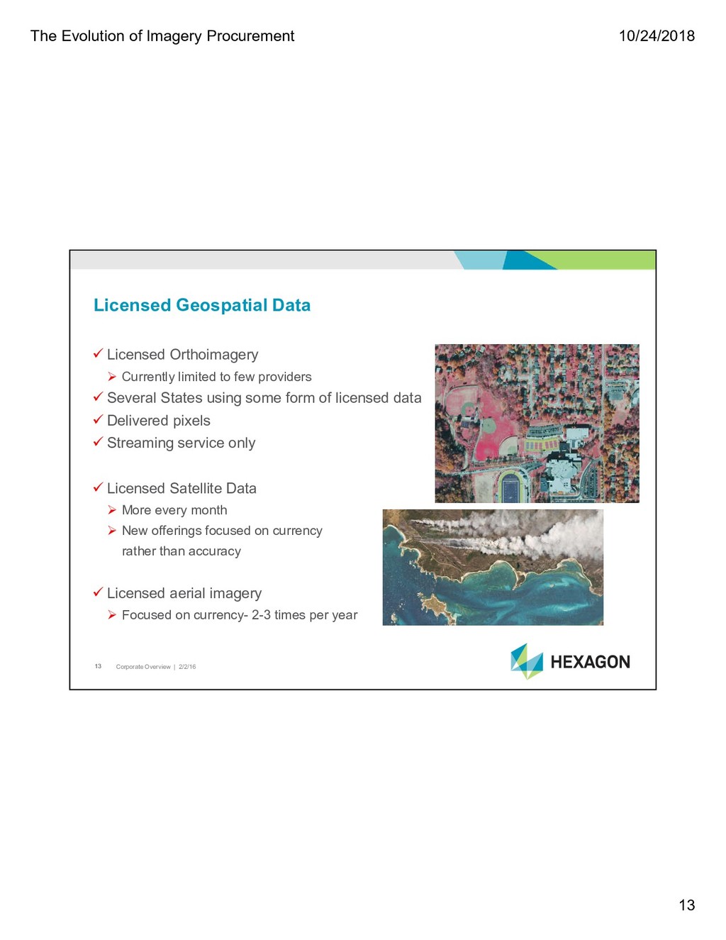
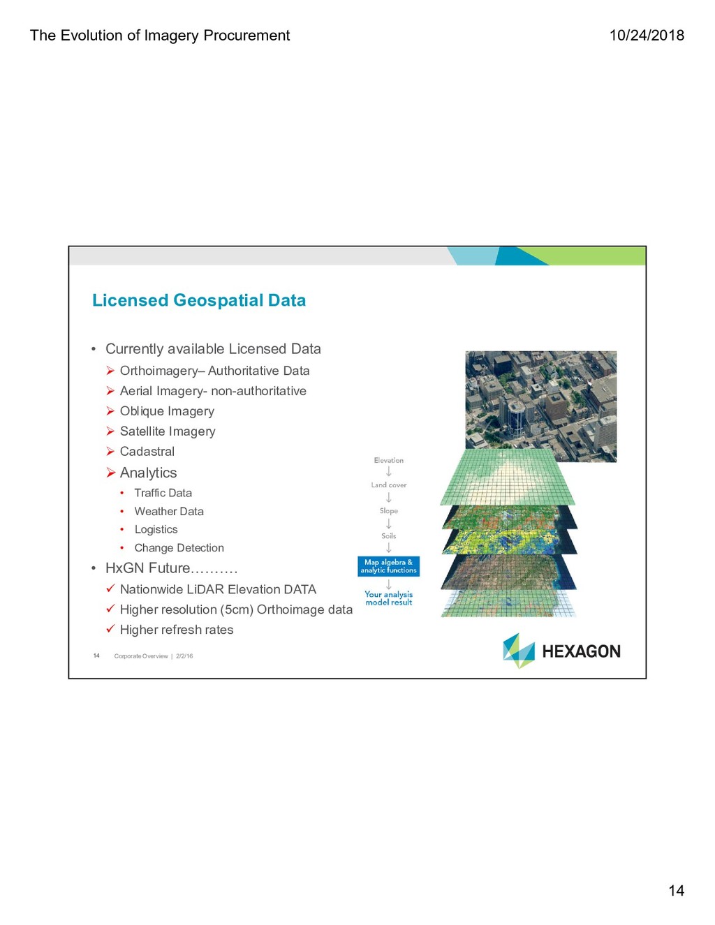
2/2/16 13 Licensed Orthoimagery Currently limited to few providers Several States using some form of licensed data Delivered pixels Streaming service only Licensed Satellite Data More every month New offerings focused on currency rather than accuracy Licensed aerial imagery Focused on currency- 2-3 times per year Licensed Geospatial Data
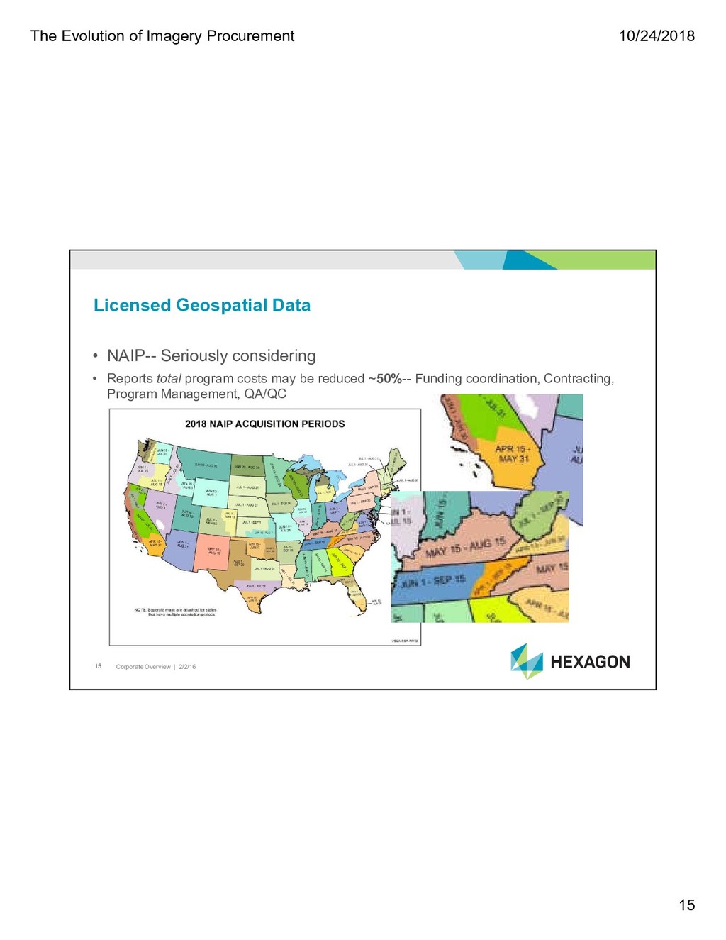
2/2/16 15 • NAIP-- Seriously considering • Reports total program costs may be reduced ~50%-- Funding coordination, Contracting, Program Management, QA/QC Licensed Geospatial Data
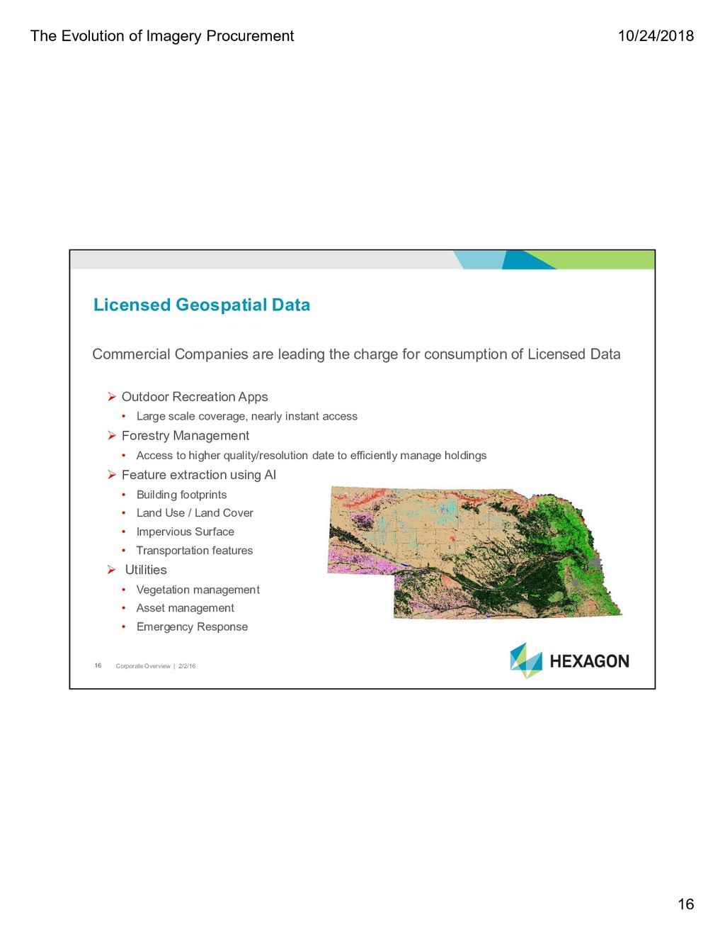
2/2/16 16 Commercial Companies are leading the charge for consumption of Licensed Data Outdoor Recreation Apps • Large scale coverage, nearly instant access Forestry Management • Access to higher quality/resolution date to efficiently manage holdings Feature extraction using AI • Building footprints • Land Use / Land Cover • Impervious Surface • Transportation features Utilities • Vegetation management • Asset management • Emergency Response Licensed Geospatial Data
2/2/16 17 CaaS Key Considerations Professional-quality authoritative data Company strength and commitment Imagery updates; piecemeal, area wide, obligated? Verified specifications Metadata included Access to previous data Consumable in common software applications Service reliability; 24/7, 365 Public domain considerations
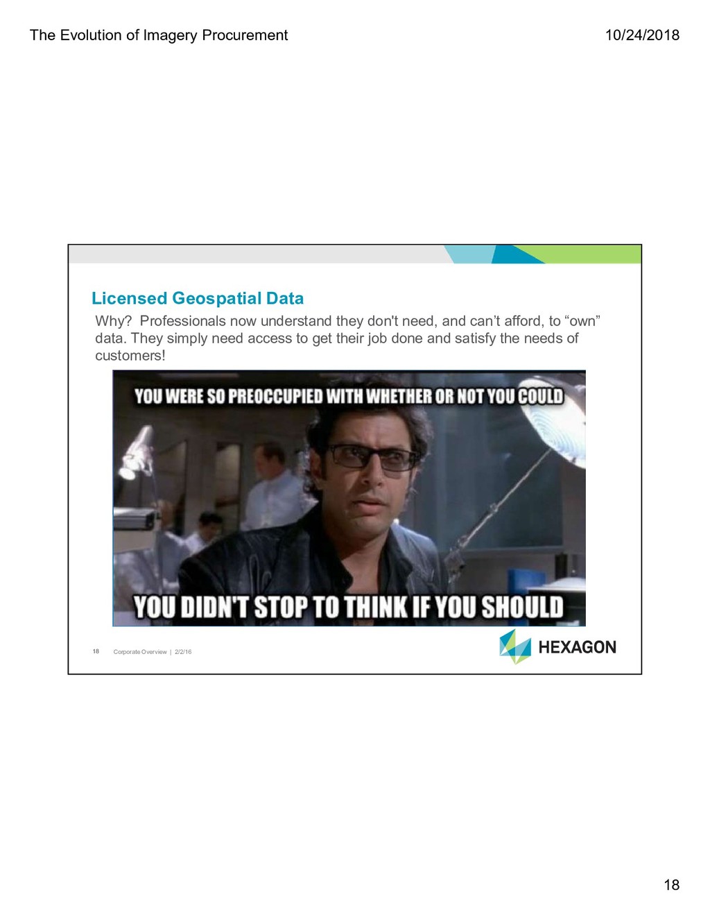
2/2/16 18 Licensed Geospatial Data Why? Professionals now understand they don't need, and can’t afford, to “own” data. They simply need access to get their job done and satisfy the needs of customers!