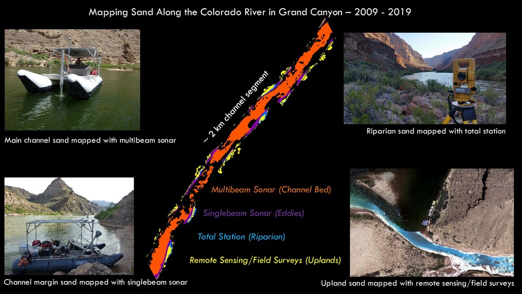
2009 - 2019 Main channel sand mapped with multibeam sonar Riparian sand mapped with total station Channel margin sand mapped with singlebeam sonar Upland sand mapped with remote sensing/field surveys Multibeam Sonar (Channel Bed) Singlebeam Sonar (Eddies) Total Station (Riparian) Remote Sensing/Field Surveys (Uplands)
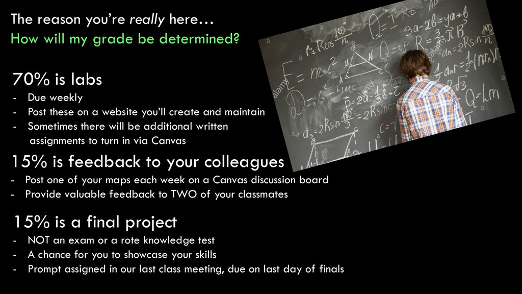
determined? 70% is labs - Due weekly - Post these on a website you’ll create and maintain - Sometimes there will be additional written assignments to turn in via Canvas 15% is feedback to your colleagues - Post one of your maps each week on a Canvas discussion board - Provide valuable feedback to TWO of your classmates 15% is a final project - NOT an exam or a rote knowledge test - A chance for you to showcase your skills - Prompt assigned in our last class meeting, due on last day of finals
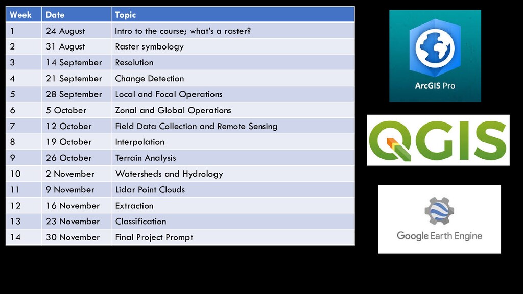
what’s a raster? 2 31 August Raster symbology 3 14 September Resolution 4 21 September Change Detection 5 28 September Local and Focal Operations 6 5 October Zonal and Global Operations 7 12 October Field Data Collection and Remote Sensing 8 19 October Interpolation 9 26 October Terrain Analysis 10 2 November Watersheds and Hydrology 11 9 November Lidar Point Clouds 12 16 November Extraction 13 23 November Classification 14 30 November Final Project Prompt
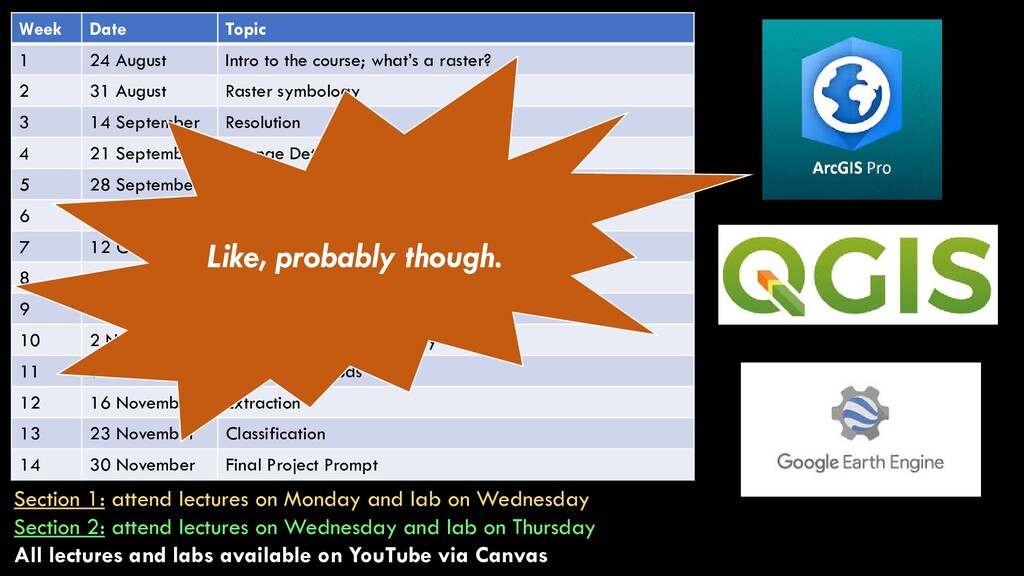
what’s a raster? 2 31 August Raster symbology 3 14 September Resolution 4 21 September Change Detection 5 28 September Local and Focal Operations 6 5 October Zonal and Global Operations 7 12 October Field Data Collection and Remote Sensing 8 19 October Interpolation 9 26 October Terrain Analysis 10 2 November Watersheds and Hydrology 11 9 November Lidar Point Clouds 12 16 November Extraction 13 23 November Classification 14 30 November Final Project Prompt Section 1: attend lectures on Monday and lab on Wednesday Section 2: attend lectures on Wednesday and lab on Thursday All lectures and labs available on YouTube via Canvas Like, probably though.
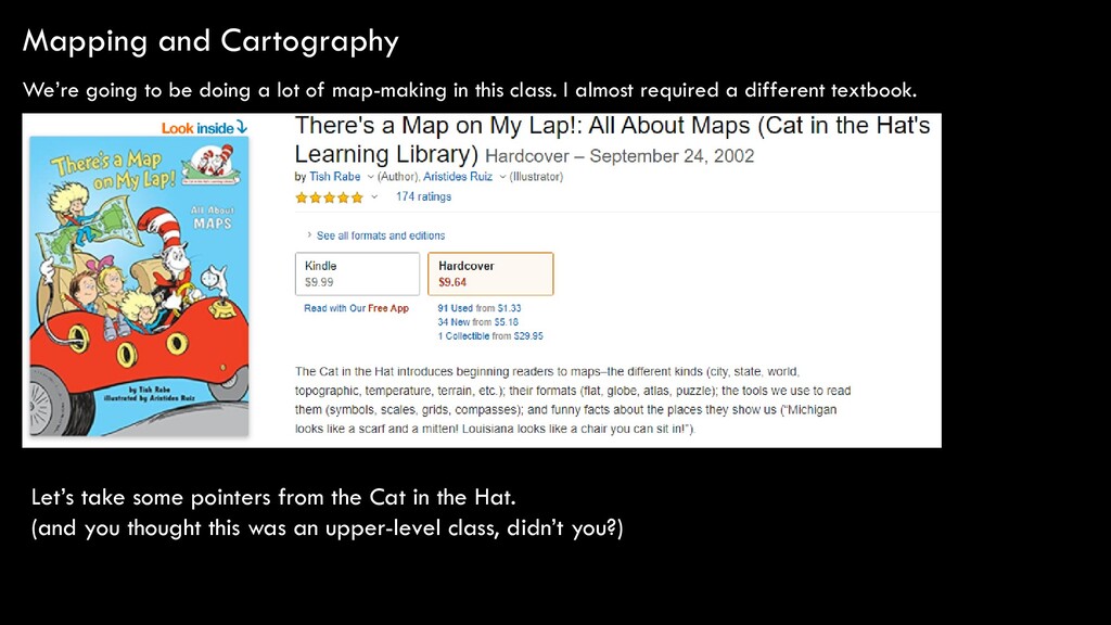
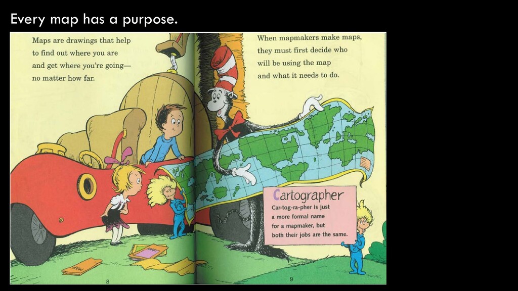
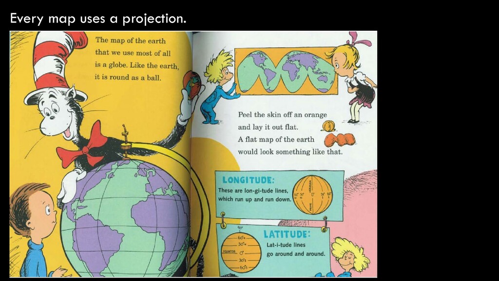
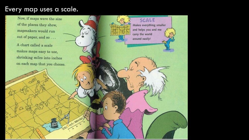
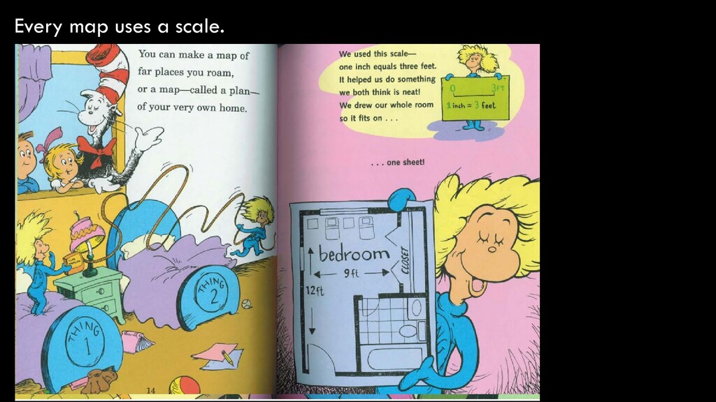
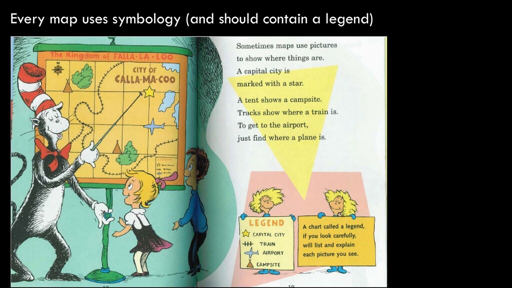
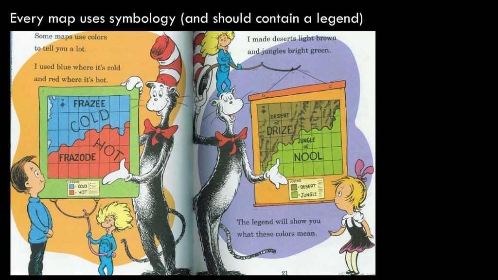
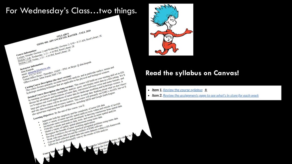
of map-making in this class. I almost required a different textbook. Let’s take some pointers from the Cat in the Hat. (and you thought this was an upper-level class, didn’t you?)
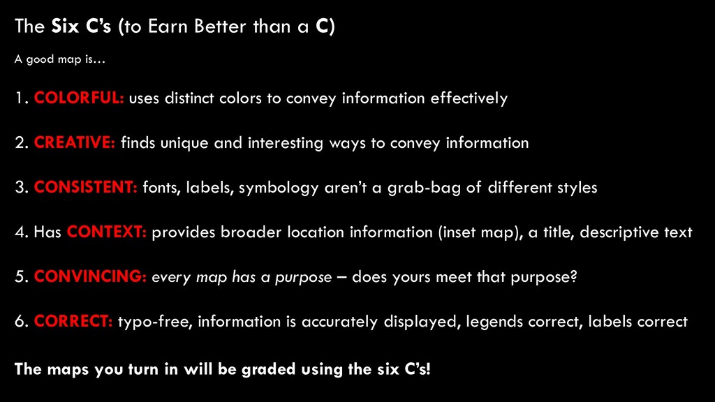
good map is… 1. COLORFUL: uses distinct colors to convey information effectively 2. CREATIVE: finds unique and interesting ways to convey information 3. CONSISTENT: fonts, labels, symbology aren’t a grab-bag of different styles 4. Has CONTEXT: provides broader location information (inset map), a title, descriptive text 5. CONVINCING: every map has a purpose – does yours meet that purpose? 6. CORRECT: typo-free, information is accurately displayed, legends correct, labels correct The maps you turn in will be graded using the six C’s!
![Some Info About Me… Alan Kasprak [email protected] Office Location: Sitter](https://files.speakerdeck.com/presentations/5d608cace2f44630a4addadacc664c82/slide_10.jpg)