Upgrade to Pro — share decks privately, control downloads, hide ads and more …

A New Atlas of American History (USF 2016)

Alan McConchie
February 24, 2016

A New Atlas of American History (USF 2016)

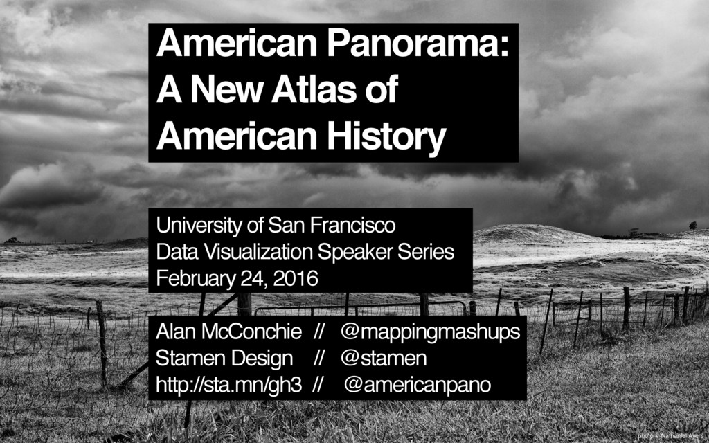
Presentation about American Panorama to the USF Data Visualization Speaker Series

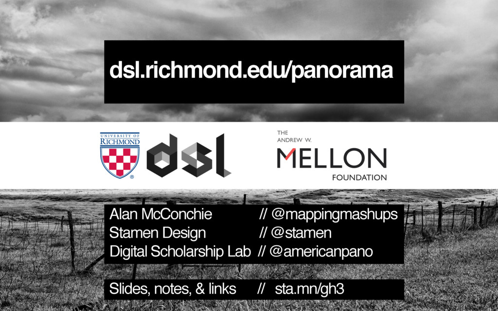
Presentation notes: http://sta.mn/gh3 (click here for links and animated gifs)

Video of the presentation: https://www.youtube.com/watch?v=14Ij7kXKtkI

Alan McConchie

February 24, 2016
Tweet

More Decks by Alan McConchie

Other Decks in Education

Transcript

  1. photo © Nathaniel Ayers
    American Panorama:
    A New Atlas of
    American History
    University of San Francisco
    Data Visualization Speaker Series
    February 24, 2016
    Alan McConchie // @mappingmashups
    Stamen Design // @stamen
    http://sta.mn/gh3 // @americanpano

    View Slide

  2. Charles O. Paullin
    John K. Wright
    Published 1932

    View Slide

  3. View Slide

  4. View Slide

  5. “The ideal historical atlas might well be a
    collection of motion-picture maps, if these could
    be displayed on the pages of a book without the
    paraphernalia of projector, reel and screen.”
    – John K. Wright

    View Slide

  6. View Slide

  7. View Slide

  8. View Slide

  9. View Slide

  10. photo © Nathaniel Ayers
    An Atlas of United States History
    dsl.richmond.edu/panorama

    View Slide

  11. Launched in December:
    four interactive maps
    photo © Nathaniel Ayers

    View Slide

  12. photo © Nathaniel Ayers
    Launched in December:
    four interactive maps
    Plus a toolkit for hundreds more...

    View Slide

  13. photo © Nathaniel Ayers
    Forced Migration of Enslaved People
    in the United States
    1810-1860
    dsl.richmond.edu / panorama / forcedmigration

    View Slide

  14. View Slide

  15. View Slide

  16. View Slide

  17. View Slide

  18. View Slide

  19. View Slide

  20. View Slide

  21. synced tables from
    Google Sheets
    CartoDB
    GeoJSON
    D3 charts
    map tiles
    Leaflet markers,
    D3 overlays (svg + canvas)
    user interaction:
    react.js

    View Slide

  22. View Slide

  23. EPSG: 2163
    US National Atlas Equal-Area
    (Lambert Azimuthal)

    View Slide

  24. SELECT cartodb_id,
    ST_Transform(the_geom_webmercator, 2163)
    AS the_geom_webmercator, ...

    View Slide

  25. But what about that terrain?

    View Slide

  26. +
    Tile from CartoDB OpenTerrain tile
    (mostly transparent)
    =
    Stacked tiles
    in Leaflet

    View Slide

  27. View Slide

  28. View Slide

  29. View Slide

  30. View Slide

  31. View Slide

  32. View Slide

  33. View Slide

  34. View Slide

  35. Hans Rosling: gapminder.org

    View Slide

  36. photo © Nathaniel Ayers
    Overland Trails
    1840-1860
    dsl.richmond.edu / panorama / overlandtrails

    View Slide

  37. View Slide

  38. View Slide

  39. View Slide

  40. View Slide

  41. E. J. Marey
    Paris to Lyon train schedule (1885)

    View Slide

  42. photo © Nathaniel Ayers
    Foreign-born Population
    1850-2010
    dsl.richmond.edu / panorama / foreignborn

    View Slide

  43. View Slide

  44. New York Times
    Map of Olympic Medals

    View Slide

  45. Moritz Stefaner
    Map Your Moves

    View Slide

  46. Andy Woodruff et al.
    Value-by-alpha map

    View Slide

  47. View Slide

  48. View Slide

  49. View Slide

  50. photo © Nathaniel Ayers
    Canals
    1820-1860
    dsl.richmond.edu / panorama / canals

    View Slide

  51. View Slide

  52. View Slide

  53. github.com/americanpanorama

    View Slide

  54. dsl.richmond.edu/panorama
    Alan McConchie // @mappingmashups
    Stamen Design // @stamen
    Digital Scholarship Lab // @americanpano
    Slides, notes, & links // sta.mn/gh3

    View Slide

  55. View Slide