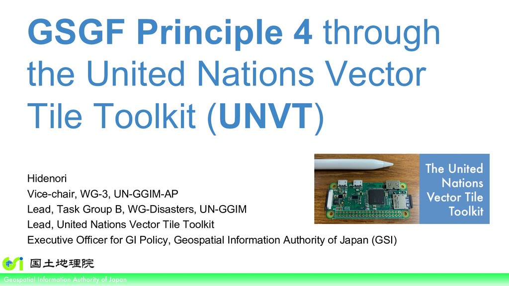
of Japan GSGF Principle 4 through the United Nations Vector Tile Toolkit (UNVT) Hidenori Vice-chair, WG-3, UN-GGIM-AP Lead, Task Group B, WG-Disasters, UN-GGIM Lead, United Nations Vector Tile Toolkit Executive Officer for GI Policy, Geospatial Information Authority of Japan (GSI)
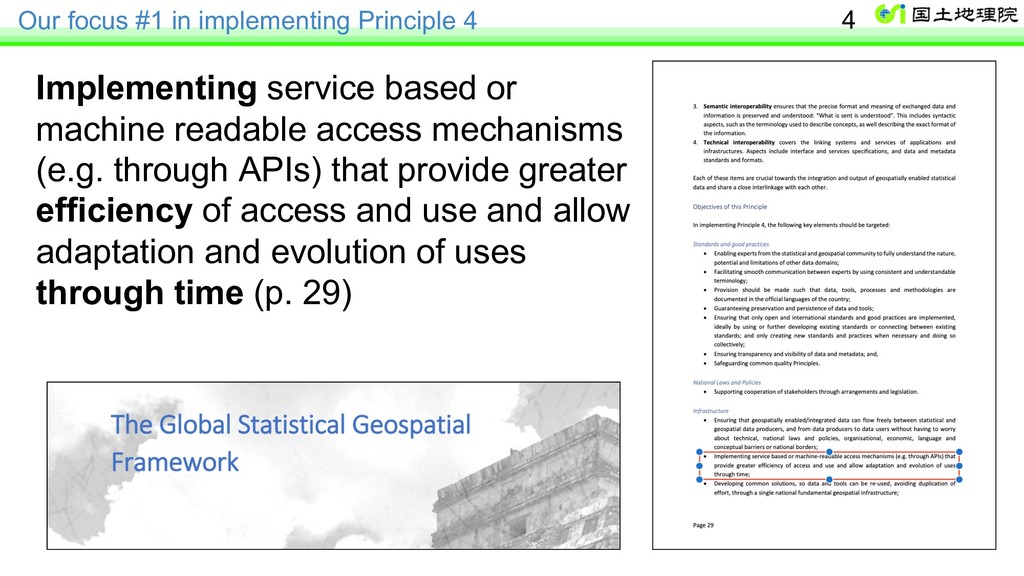
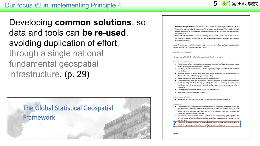
or machine readable access mechanisms (e.g. through APIs) that provide greater efficiency of access and use and allow adaptation and evolution of uses through time (p. 29) 4
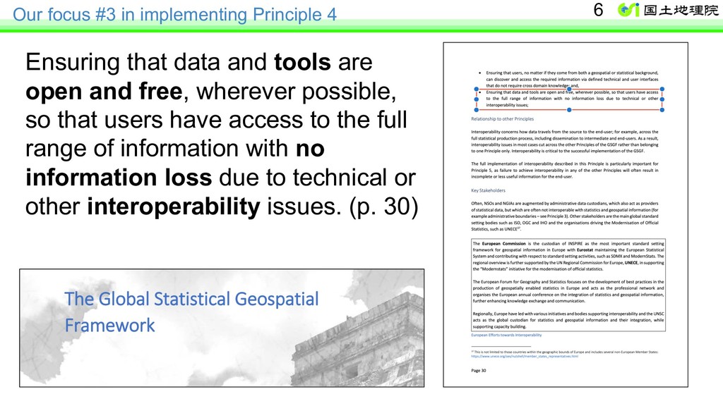
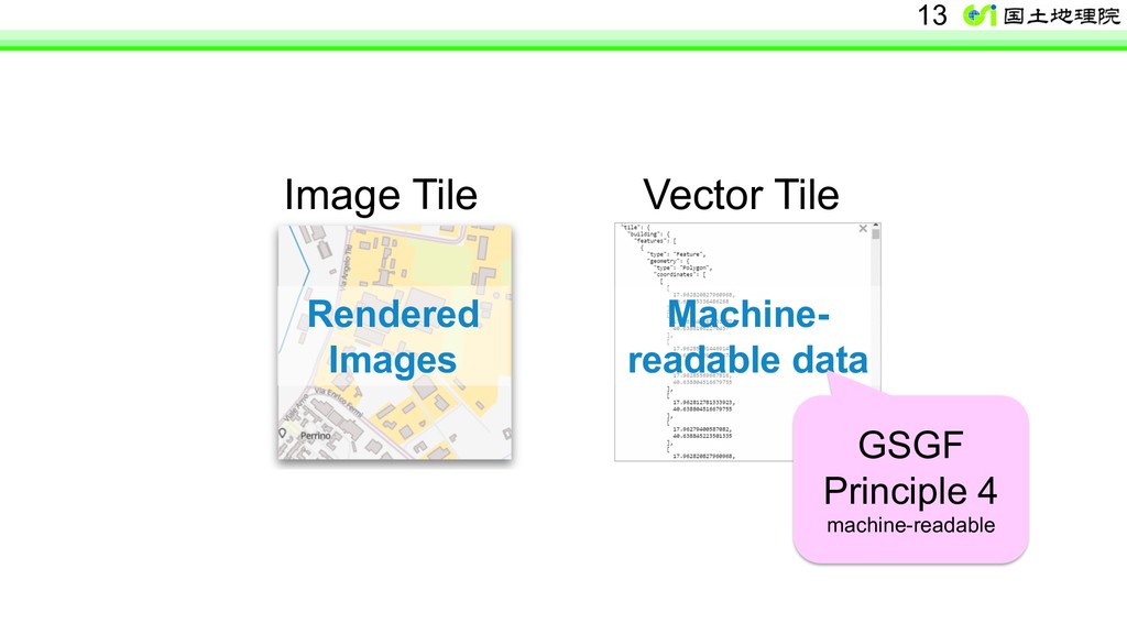
and tools are open and free, wherever possible, so that users have access to the full range of information with no information loss due to technical or other interoperability issues. (p. 30) 6
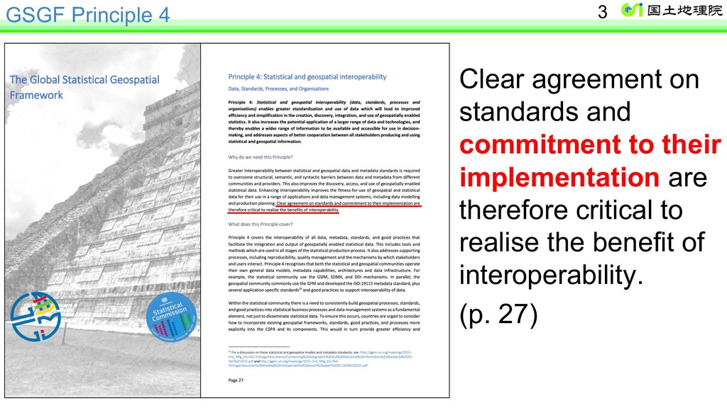
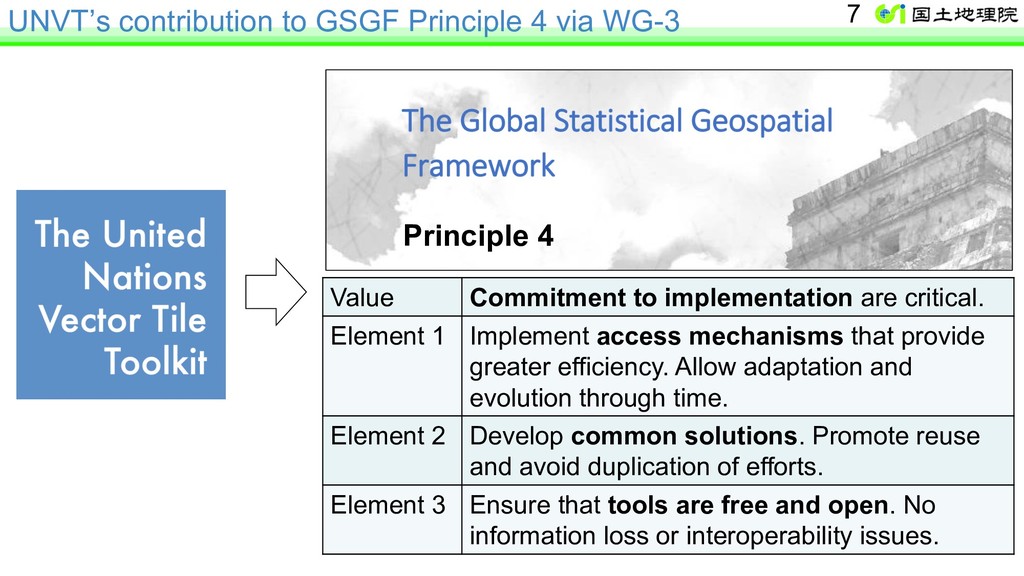
to implementation are critical. Element 1 Implement access mechanisms that provide greater efficiency. Allow adaptation and evolution through time. Element 2 Develop common solutions. Promote reuse and avoid duplication of efforts. Element 3 Ensure that tools are free and open. No information loss or interoperability issues. 7 Principle 4
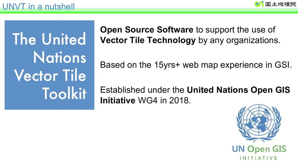
Technology by any organizations. Based on the 15yrs+ web map experience in GSI. Established under the United Nations Open GIS Initiative WG4 in 2018. UNVT in a nutshell
started web maps using the Vector Tile Technology. 2012 GSI adopted Open Source Software for the operation of its web maps. Open Source Software at that time was based on Image Tile Technology. 2014 Vector Tile Technology under Open Source License became available. GSI started GSI Vector Tile Engineering Experiment. 2015 The UN Open GIS Initiative was established. 2017 Japan contributed a basemap expert to the United Nations Secretariat. 2018 The UN Open GIS Initiative created the UNVT. Article 27.2 of Survey Act: Minister … must publish … maps … . → It is our Minister’s mandate to publish web maps.
open innovation & project sustainability 3. More competition – cost reduction Ø e.g. GSI provides 3 billion tiles per month without cost recovery. Ø Serving 3 billion tiles using commercial service takes millions or ten millions of USD (!). Ø Great cost reduction was possible by using general-purpose Cloud Service thanks to Open Source Software. 20
National Astronomical Observatory of Japan National Institute for Agro-Environmental Sciences Mapbox Mapple On OSGeo Japan Chapter UN Geospatial Information Section UN Global Service Centre 21 Cross-sector and interdisciplinary cooperation (IGIF Str. Pathway 7)
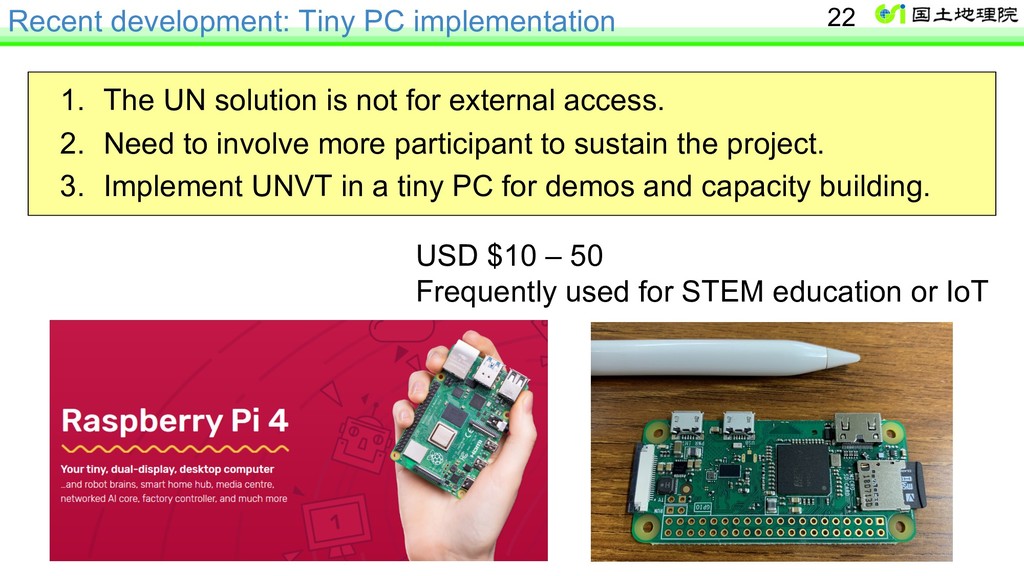
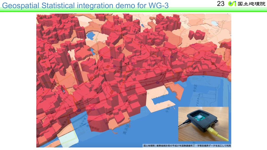
not for external access. 2. Need to involve more participant to sustain the project. 3. Implement UNVT in a tiny PC for demos and capacity building. USD $10 – 50 Frequently used for STEM education or IoT 22
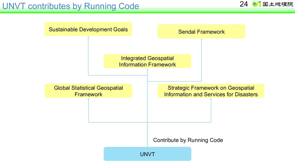
Framework Integrated Geospatial Information Framework Global Statistical Geospatial Framework Strategic Framework on Geospatial Information and Services for Disasters Contribute by Running Code 24
of Japan GSGF Principle 4 through the United Nations Vector Tile Toolkit (UNVT) Hidenori Vice-chair, WG-3, UN-GGIM-AP Lead, TG-B, WG-Disasters, UN-GGIM Lead, United Nations Vector Tile Toolkit Executive Officer for GI Policy, Geospatial Information Authority of Japan (GSI)