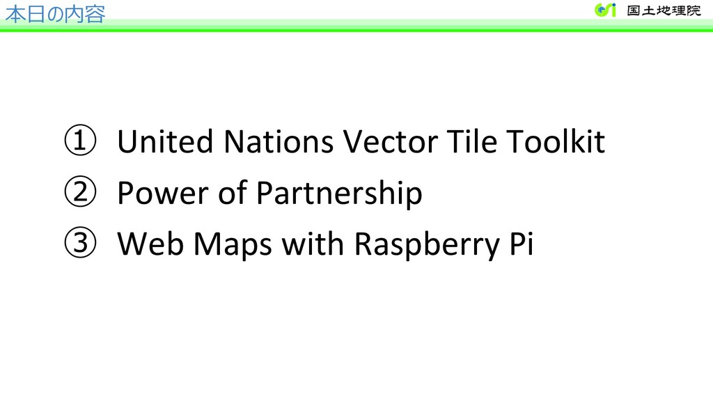
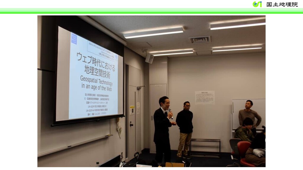
of Japan United Nations Vector Tile Toolkit and Vector Tiles in GSI Maps 国連ベクトルタイルツールキットと地理院地図のベクトルタイル活⽤ Hidenori Fujimura GeoSpatial Information Authority of Japan (GSI) 2020-02-05 18:30/19:00 mapbox/OSM meetup #04 @WeWork ⽇⽐⾕パークフロント 国連 x 国⼟地理院 x mapbox
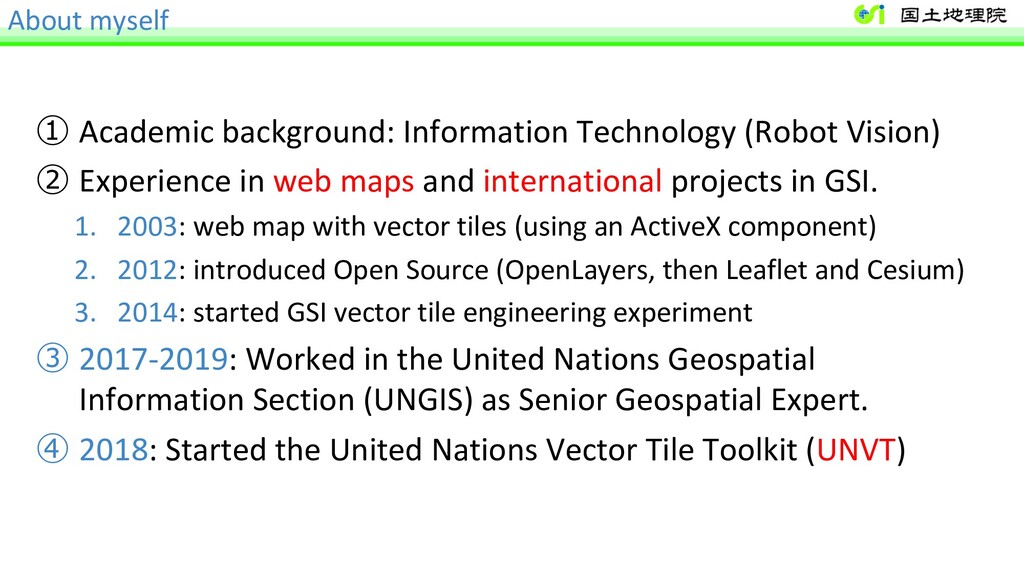
Experience in web maps and international projects in GSI. 1. 2003: web map with vector tiles (using an ActiveX component) 2. 2012: introduced Open Source (OpenLayers, then Leaflet and Cesium) 3. 2014: started GSI vector tile engineering experiment ③ 2017-2019: Worked in the United Nations Geospatial Information Section (UNGIS) as Senior Geospatial Expert. ④ 2018: Started the United Nations Vector Tile Toolkit (UNVT)
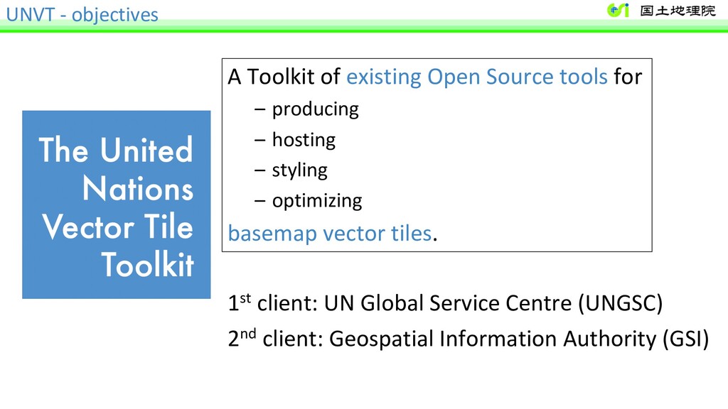
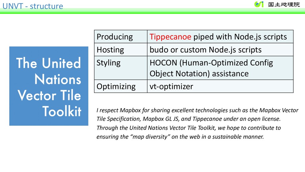
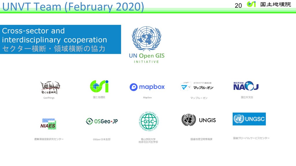
for – producing – hosting – styling – optimizing basemap vector tiles. 1st client: UN Global Service Centre (UNGSC) 2nd client: Geospatial Information Authority (GSI)
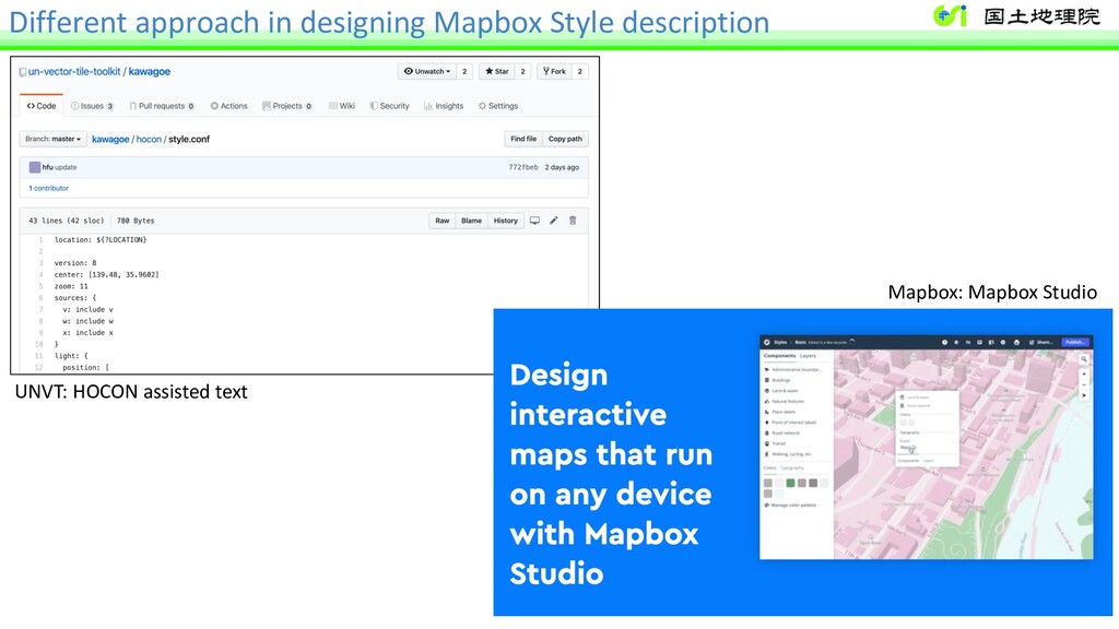
budo or custom Node.js scripts Styling HOCON (Human-Optimized Config Object Notation) assistance Optimizing vt-optimizer I respect Mapbox for sharing excellent technologies such as the Mapbox Vector Tile Specification, Mapbox GL JS, and Tippecanoe under an open license. Through the United Nations Vector Tile Toolkit, we hope to contribute to ensuring the “map diversity” on the web in a sustainable manner.
of Japan United Nations Vector Tile Toolkit and Vector Tiles in GSI Maps 国連ベクトルタイルツールキットと地理院地図のベクトルタイル活⽤ Hidenori Fujimura GeoSpatial Information Authority of Japan (GSI) 2020-02-05 18:30/19:00 mapbox/OSM meetup #04 @WeWork ⽇⽐⾕パークフロント 国連 x 国⼟地理院 x mapbox
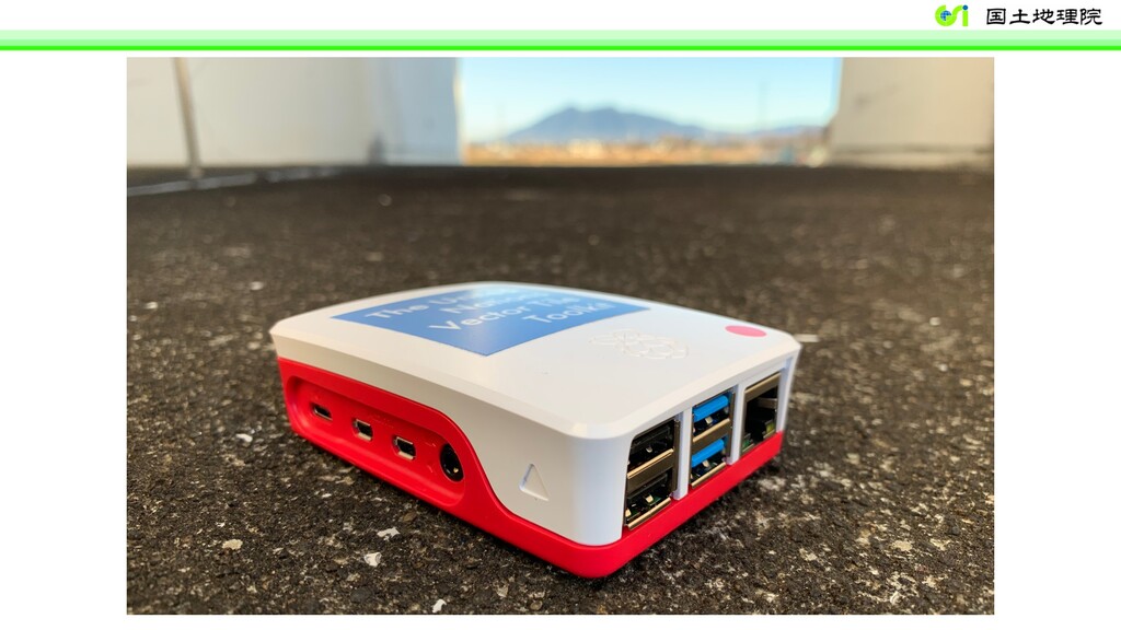
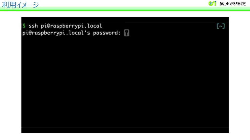