Upgrade to Pro — share decks privately, control downloads, hide ads and more …

The State of Open Source GIS

The State of Open Source GIS

Presentation I gave to InterAction on April 19, 2012

James Fee

April 26, 2012
Tweet

More Decks by James Fee

Other Decks in Technology

Transcript

  1. ME 18 Years as a GIS Professional Worked in Government,

    Private Sector and Internet Startups Degree in Geography (pen and paper) Focused on data sharing Thursday, April 19, 12
  2. Open source is a development method for software that harnesses

    the power of distributed peer review and transparency of process. “ ” © David Erickson The OpenSource Initiative http://www.opensource.org/ Thursday, April 19, 12
  3. OPEN SOURCE? Free Open Source GIS Packages Set of developer

    libraries for building geospatial- aware applications A community of developers, documentation, translators and users Thursday, April 19, 12
  4. FREE SOFTWARE Two meanings of FREE: Liberty No Cost Liberty:

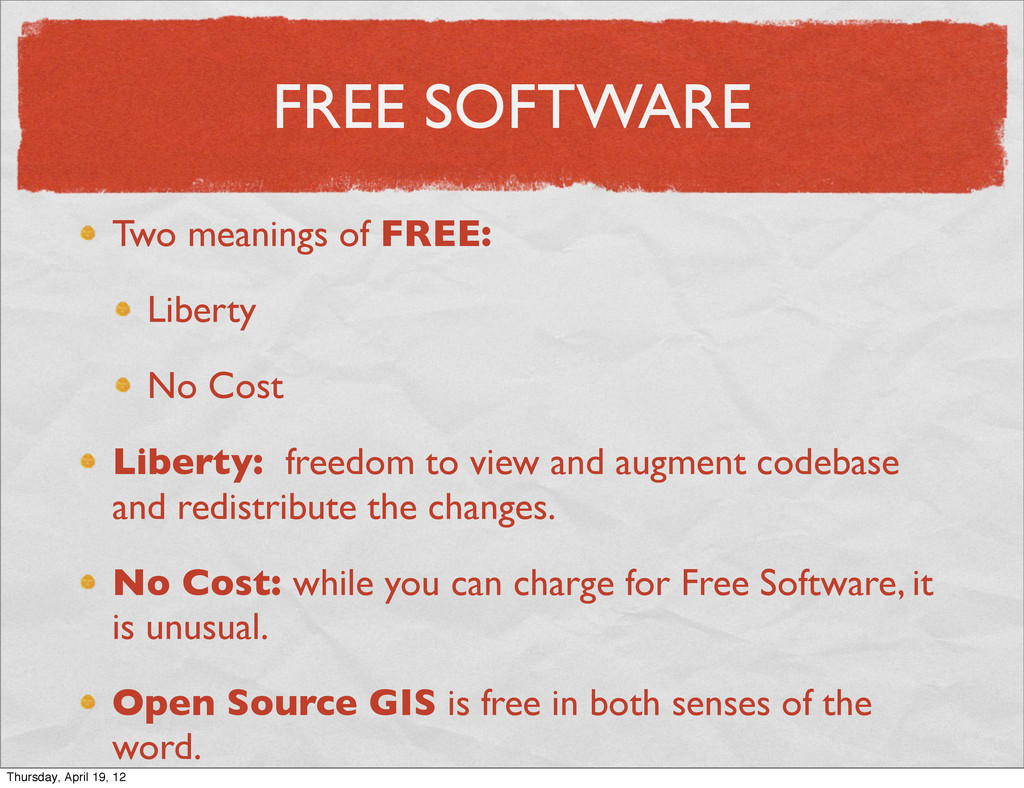
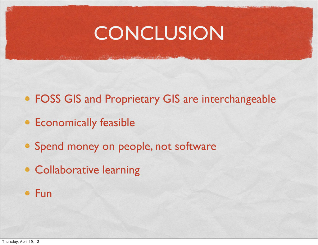
    freedom to view and augment codebase and redistribute the changes. No Cost: while you can charge for Free Software, it is unusual. Open Source GIS is free in both senses of the word. Thursday, April 19, 12
  5. THE DEVELOPER COMMUNITY 19 Projects 15,793,310 Lines of code 743

    Contributors 269 in the last 12 months Thursday, April 19, 12
  6. THE BEGINNING GRASS GIS - U.S. Army (1982) PROJ.4 -

    Cartographic Projections Library (1983) PostGIS (2001) OpenLayers (2006) QGIS (2002) GDAL/OGR (1998) UMN MapServer (1995) Thursday, April 19, 12
  7. ORGANIZATIONS Open GRASS Foundation (OGF) in 1992 OGF became Open

    Geospatial Consortium (OGC) in 1994 OGC is responsible for most Geospatial Standards OSGeo founded in 2006 Thursday, April 19, 12
  8. COMMUNITY Developers, contributors, documentation, translators, bug reporters and users. Estimated

    millions use FOSS GIS applications daily You don’t have to be a programmer to be involved. Free resources are available. Thursday, April 19, 12
  9. STANDARDS Open Source Software and Open Standards OGC WMS, WFS,

    GML, KML, WCS, WPS, SLD, CSW Proprietary and Open Source Projects are involved Thursday, April 19, 12
  10. The Open Source Geospatial Stack © Geonetwork THE OPEN SOURCE

    GEOSPATIAL STACK Thursday, April 19, 12
  11. PROPRIETARY PARRALLELS Proprietary FOSS Oracle or Microsoft SQL Server PostgreSQL

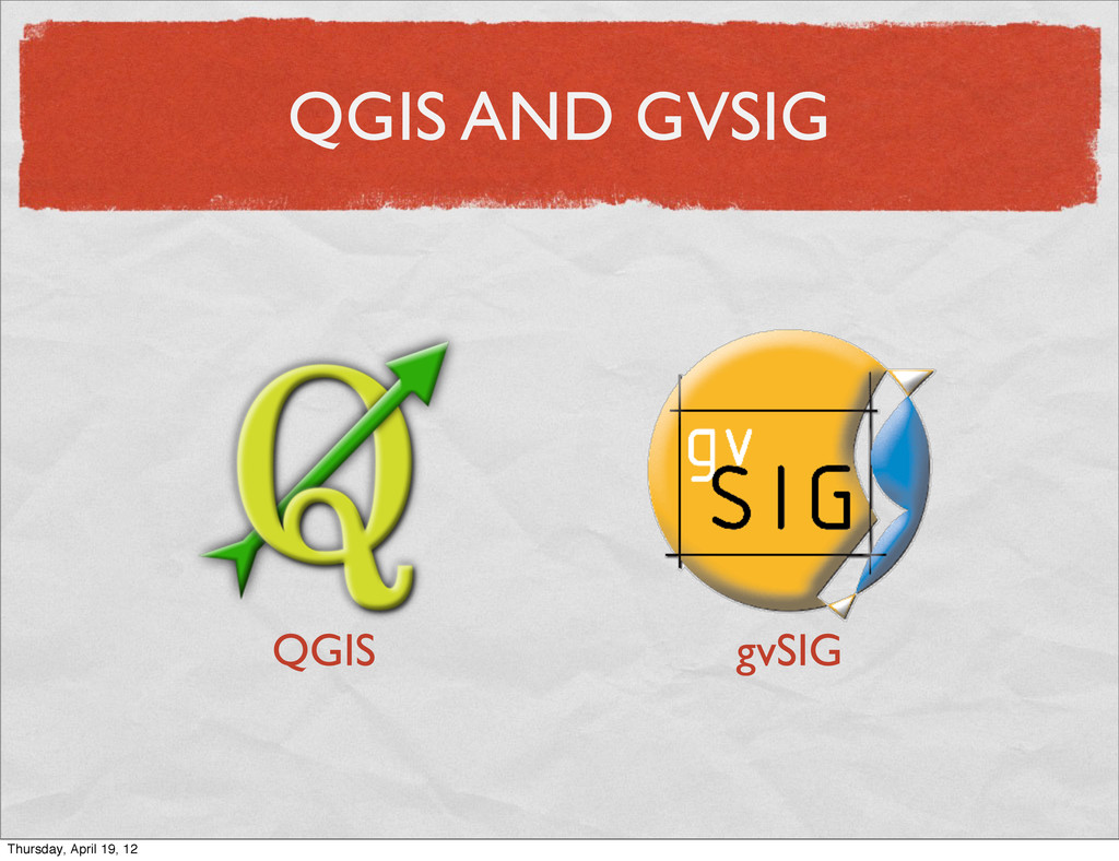
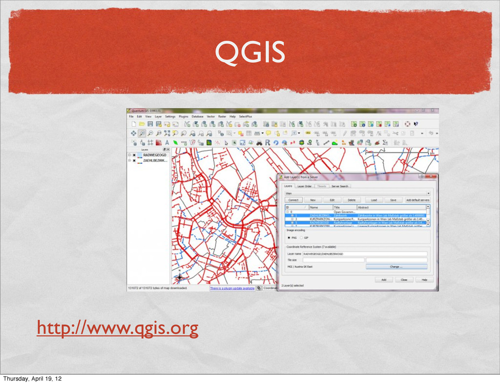
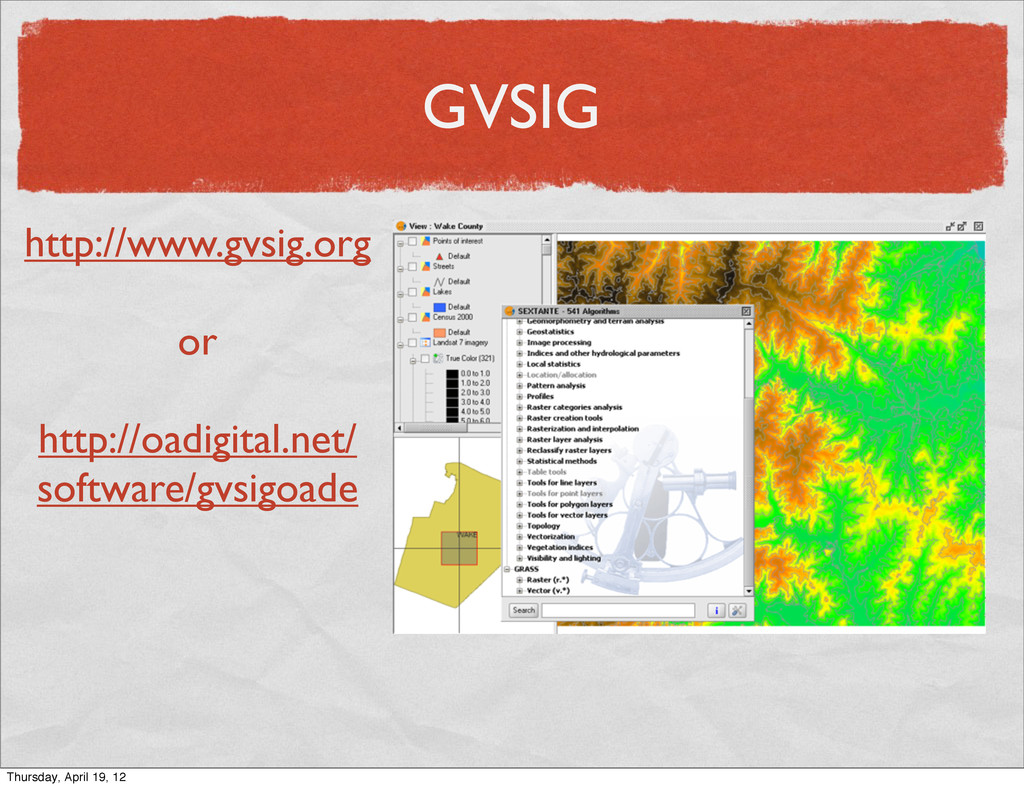
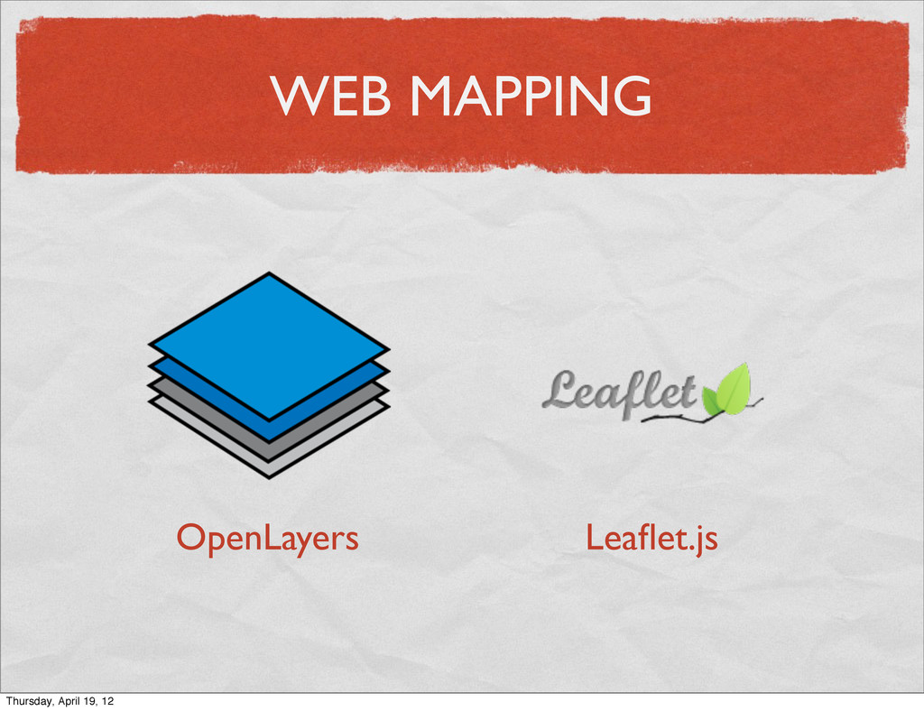
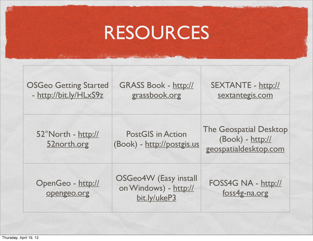
    Oracle Spatial or Esri ArcSDE* PostGIS ArcGIS for Server MapServer or GeoServer ArcGIS for Desktop ArcView MapInfo QGIS GRASS gvSIG Thursday, April 19, 12
  12. POSTGIS PostGIS 2.0 just released Shapefile Import/Export ArcGIS, FOSS4GIS, MapInfo,

    AutoCAD, Bentley http://postgis.org Thursday, April 19, 12
  13. POSTGIS “What parcels are within 1km of this fire?” SELECT

    owner_phone FROM parcels WHERE ST_DWithin( geom, ‘POINT()’, 1000 ); Thursday, April 19, 12
  14. POSTGIS Table Date Geometry vg2500_bld 20080512 polygon() vg2500_krs 20100924 point()

    vg2500_rbz 20110305 polygon() vg2500_sta 20010112 point() Thursday, April 19, 12
  15. SUPPORT FOR FOSS4G FOSSGIS is community based OSGeo mailing lists

    Workshops IRC Channel Events (FOSS4G 2011, FOSS4G-NA) Commercial Support Training Worldwide Thursday, April 19, 12
  16. CONCLUSION FOSS GIS and Proprietary GIS are interchangeable Economically feasible

    Spend money on people, not software Collaborative learning Fun Thursday, April 19, 12
  17. RESOURCES OSGeo Getting Started - http://bit.ly/HLxS9z GRASS Book - http://

    grassbook.org SEXTANTE - http:// sextantegis.com 52°North - http:// 52north.org PostGIS in Action (Book) - http://postgis.us The Geospatial Desktop (Book) - http:// geospatialdesktop.com OpenGeo - http:// opengeo.org OSGeo4W (Easy install on Windows) - http:// bit.ly/ukeP3 FOSS4G NA - http:// foss4g-na.org Thursday, April 19, 12