FOSS4G Hiroshima 2026 Sponsor Talk session, Sep. 3rd 2026, Room: Phoenix Hall
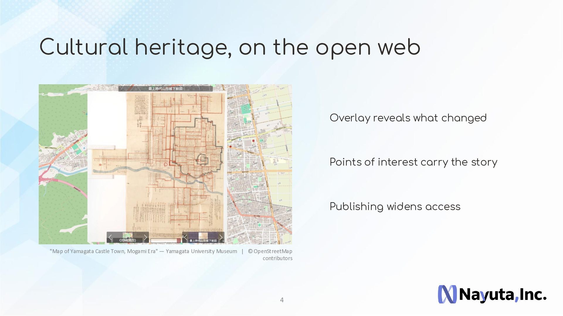
Maplat is an open-source geospatial platform developed by Nayuta Inc. that enables historical maps, hand-drawn maps, and other image-based maps to be overlaid and explored on modern web maps.
Beyond the technology itself, we believe the real value of open source emerges when it is applied to solve practical problems.
In this session, we will introduce:
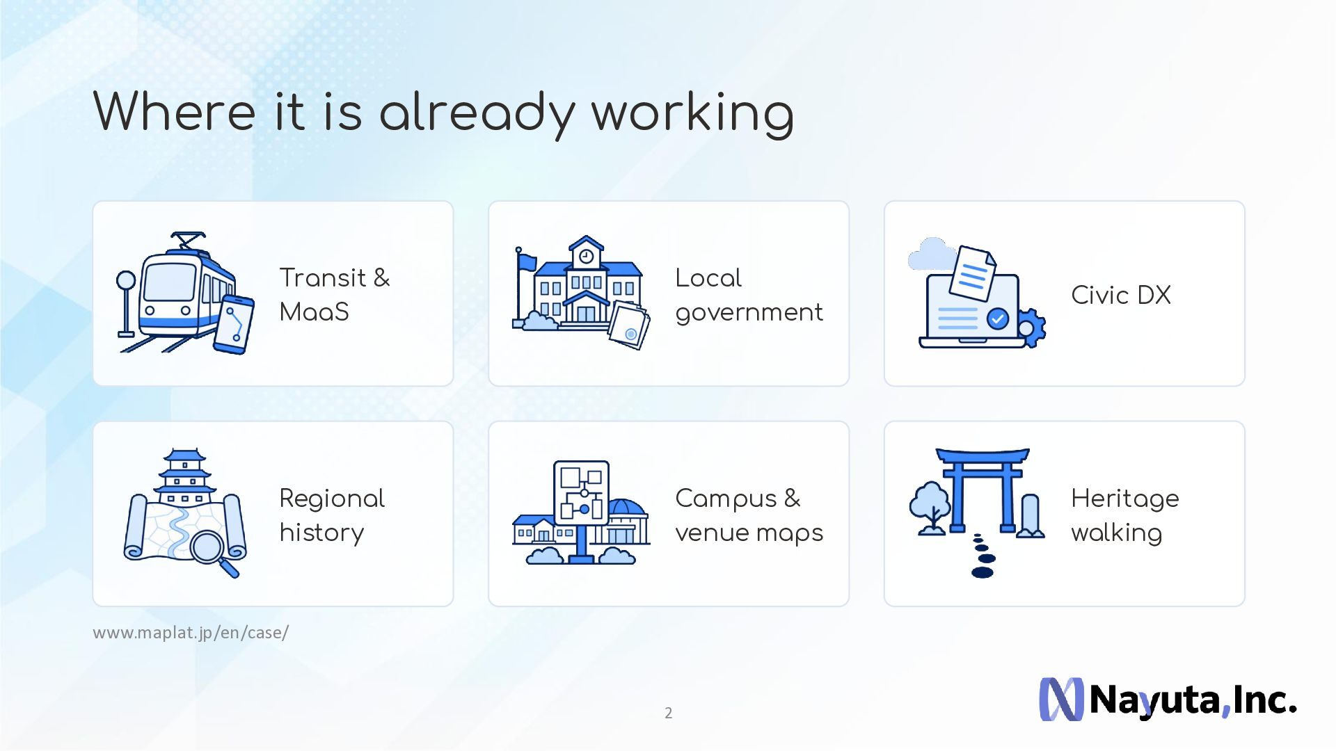
* Business applications of Maplat
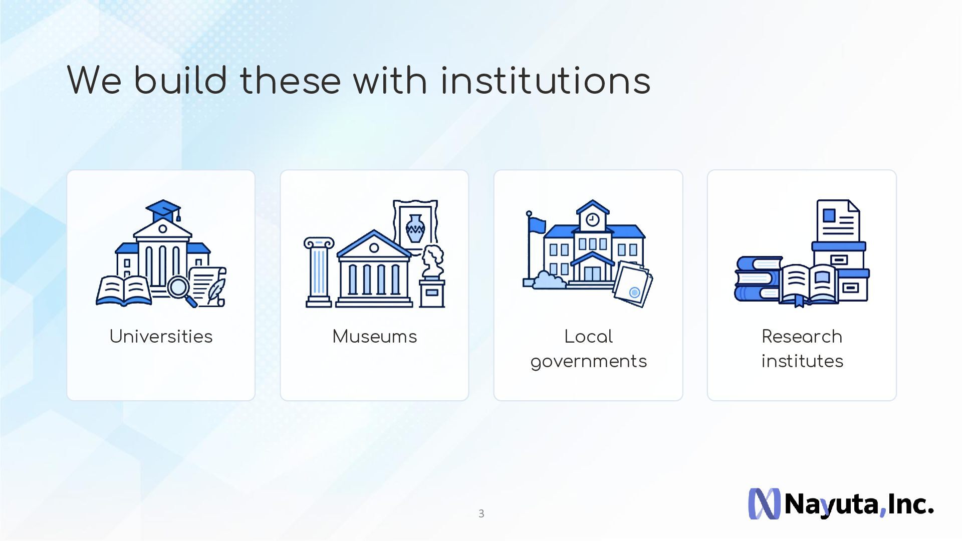
* Collaboration with museums, local governments, and research institutions
* Digital archives and cultural heritage projects
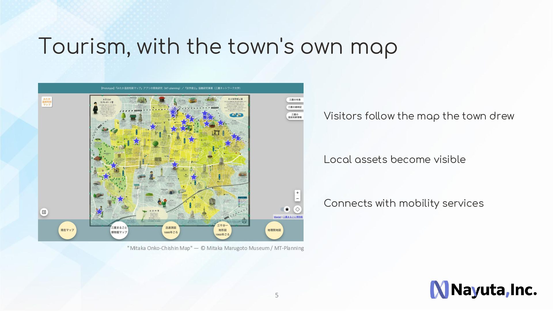
* Tourism and regional revitalization
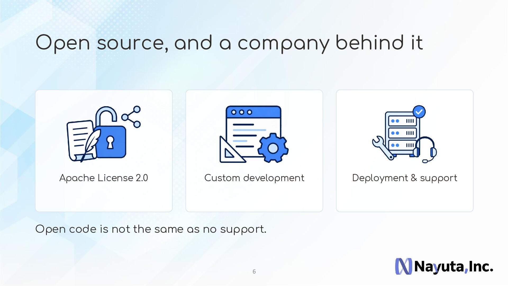
* Custom development and commercial support
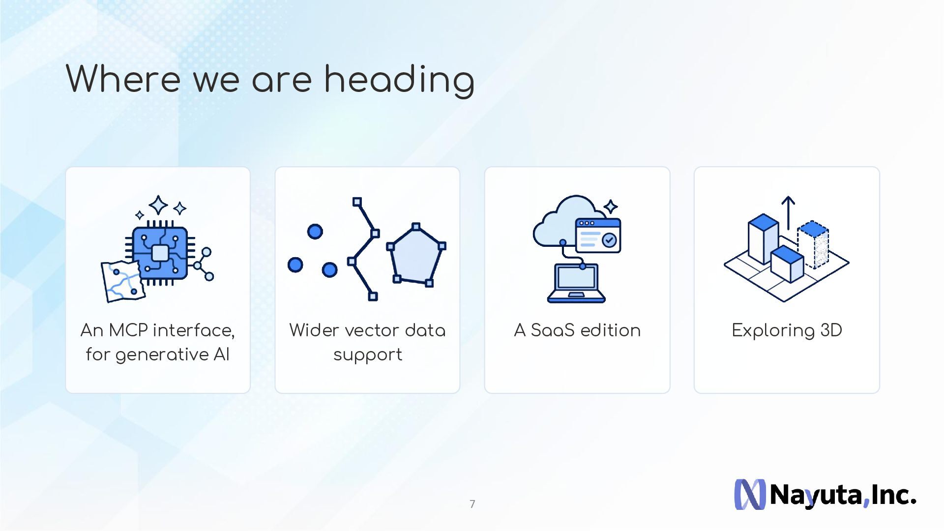
* Future directions, including AI-assisted geospatial applications
Whether you are looking for an open-source platform, a technology partner, or ideas for your next geospatial project, we hope this session will provide useful inspiration.


 kochizufan
 tetsuya28
 camiha
 fespinoza
 furuton
 pauli
pauli
 kairim0
 livesense
 pei0804
 bcantrill
 maimyyym
 jozono
 codmoninc
 kimpetersen
 brettharned
 techseoconnect
 axbom
axbom
 apolaine
 badams
 letsgokoyo
 chriscoyier
 cassininazir
 jdejongh
 soudai