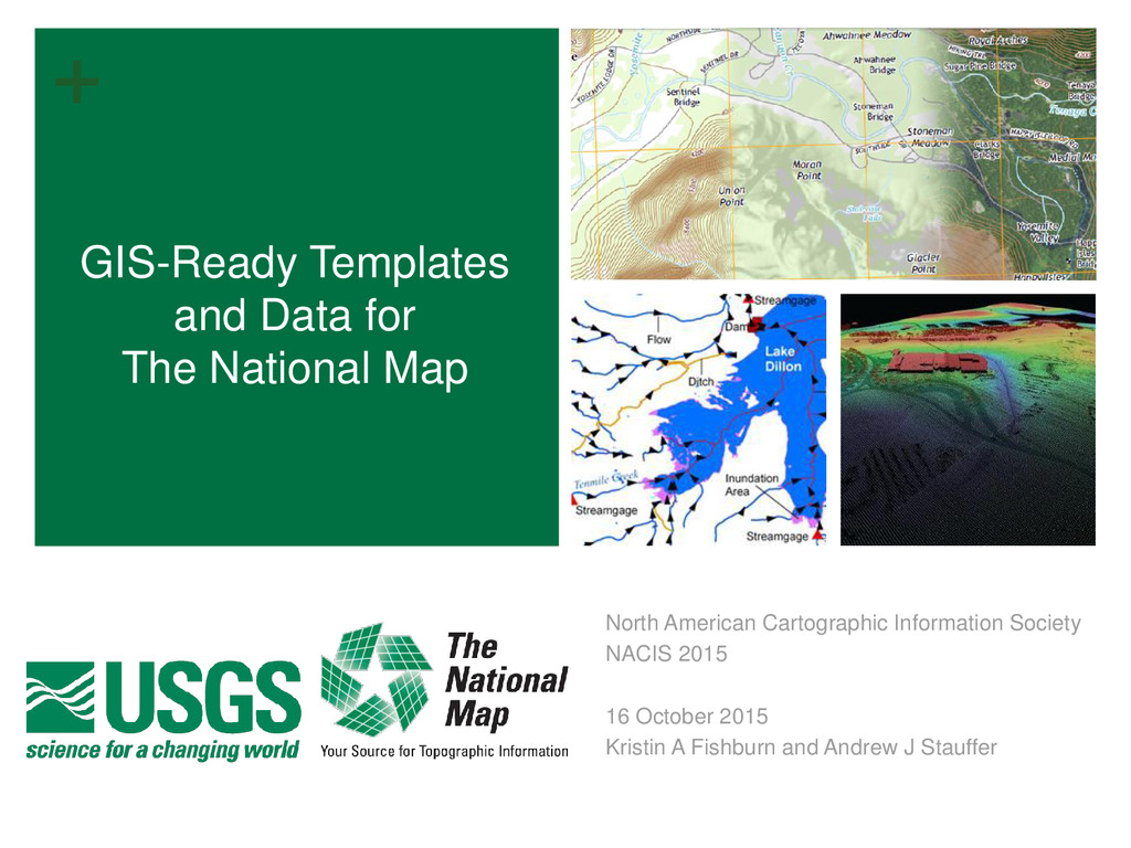
‘one-stop shopping’ approach to secure GIS- ready map data configured to US Topo layout and cartographic specifications Originated with Geologic Mapping Community Of Use (COU) (2011 time frame); Applicable to Geologic Mapping and Geologic Hazards (GMH) COU Natural Resources Conservation (NRC) COU Water Resources COU USGS scientists Private industry
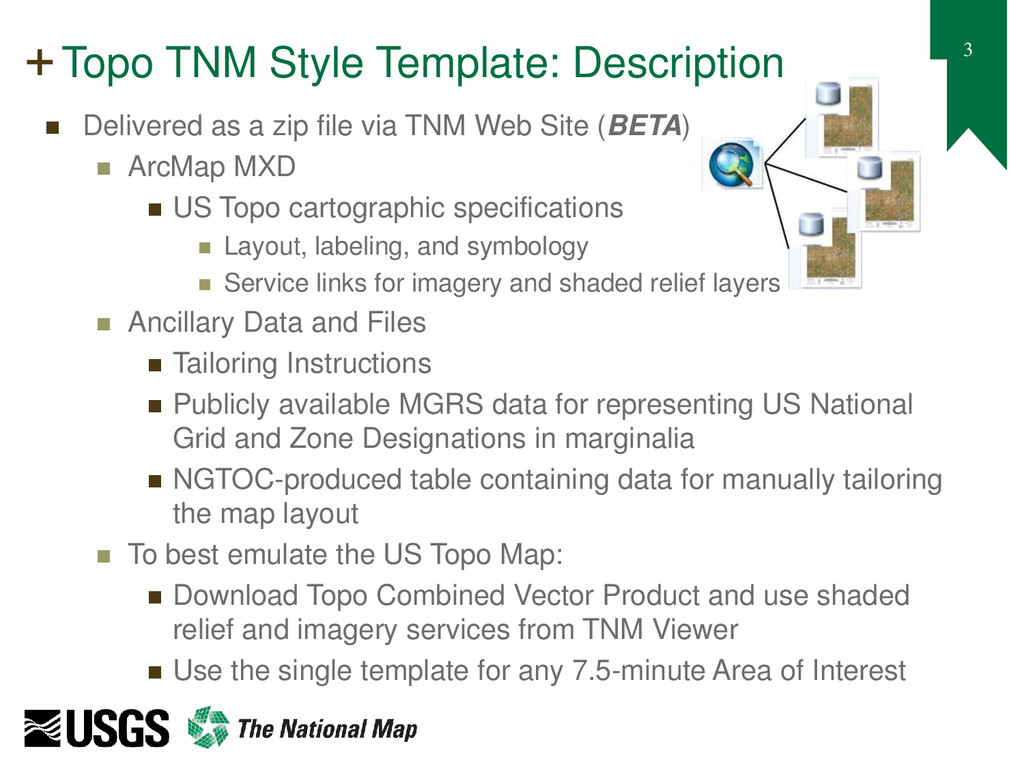
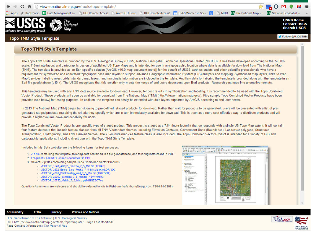
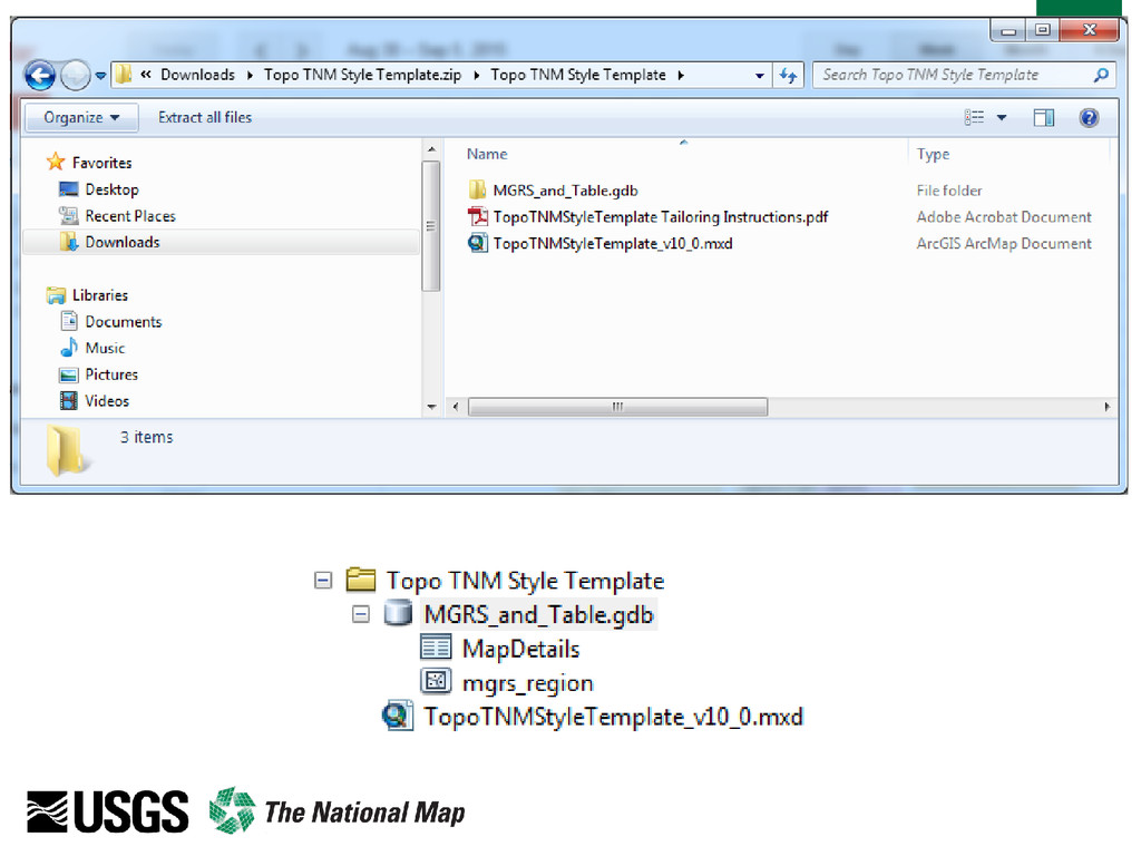
a zip file via TNM Web Site (BETA) ArcMap MXD US Topo cartographic specifications Layout, labeling, and symbology Service links for imagery and shaded relief layers Ancillary Data and Files Tailoring Instructions Publicly available MGRS data for representing US National Grid and Zone Designations in marginalia NGTOC-produced table containing data for manually tailoring the map layout To best emulate the US Topo Map: Download Topo Combined Vector Product and use shaded relief and imagery services from TNM Viewer Use the single template for any 7.5-minute Area of Interest
Geographic Names (GNIS) Delivery Formats Pipe-delimited text files (no change from current delivery) State and national files Standalone Staged Vector Product: TNM Gazetteer Content: Complete content from Gazetteer multi-point (complex features) database State and national footprints Topo Combined Vector Product*: with TNM Derived Names* Content: Filtered and enriched content extracted from Gazetteer multi-point database 7.5-min footprint *Note: production of these products is in progress
Pennsylvania State University Research Improve label placement and MXD performance Evaluation of multi-scale data, generalization, and cartographic designs Evaluate extension of current production system Evaluation of Esri Product On Demand (POD) server technology to extend export of tailored products Formats; Esri map packet and other formats (e.g. GeoTIFF) Additional product scales and AOIs Evaluate OGC GeoPackage