Upgrade to Pro — share decks privately, control downloads, hide ads and more …

Center for Geospatial Science, Applications & Technology (GEOSAT): Collaboration Opportunities & Geospatial Technology Solutions

Center for Geospatial Science, Applications & Technology (GEOSAT): Collaboration Opportunities & Geospatial Technology Solutions

More Decks by Texas Natural Resources Information System

Other Decks in Technology

Transcript

  1. Center for Geospatial Science, Applications & Technology (GEOSAT): Collaboration Opportunities

    & Geospatial Technology Solutions Dr. Michael P. Bishop Professor and Haynes Chair in Geosciences Department of Geography
  2. 2 Introduction •  Nature of geospatial data •  Data storage

    issues •  Spatio-temporal data integration •  Algorithms and computational issues •  Spatio-temporal modeling •  Data-information discovery and dissemination •  Trans-disciplinary engagement •  Applied problem solving
  3. 3 GEOSAT Mission •  To engage TAMU faculty and students

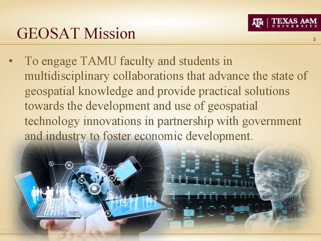
    in multidisciplinary collaborations that advance the state of geospatial knowledge and provide practical solutions towards the development and use of geospatial technology innovations in partnership with government and industry to foster economic development. http://ci.nd.edu/images/cyber.gif https://pitchenginelive.blob.core.windows.net/dev/5e49e71a-ae71-463a-a129-9f8f1672735f/76a71792-fa4a-4c33-9036-50ff4e8ba794.jpg
  4. 4 GEOSAT Objectives •  Social infrastructure & learning env. • 

    Geospatial research activities •  Undergraduate & graduate education •  Geospatial outreach activities •  Government & industry partnerships •  Core services to faculty and students http://www.mining.com/wp-content/uploads/2011/05/shutterstock_53261848.jpg http://www.ifullscreen.com/thumbs/3d_space_wallpaper_10-t2.jpg
  5. 5 GEOSAT Activities Update •  GEOSAT BOR approved center • 

    ~ 100 faculty & students engaged •  Geocomputation, algorithms & tools •  AgriLife & TEES engaged •  Research proposals •  Commercialization •  Industry & government •  International partnerships •  Space & cyber-infrastructure
  6. 10 Geospatial Cyber-Infrastructure •  Geovisualization & collaborative env. •  Data

    storage solutions (data volume, metadata) •  Data management issues (privacy, discovery) •  Pyramid computing infrastructure •  CyberGIS (HPC) •  Application solutions http://ci.nd.edu/images/cyber.gif https://pitchenginelive.blob.core.windows.net/dev/5e49e71a-ae71-463a-a129-9f8f1672735f/76a71792-fa4a-4c33-9036-50ff4e8ba794.jpg
  7. 11 Remote Sensing Activities •  Data collection issues •  Algorithms

    and software tools •  Biophysical Information extraction •  Ecosystem assessment •  Agricultural applications •  Urban applications •  Water resources •  Coastal and hazard http://worldview3.digitalglobe.com/interactive/worldview-3/img/rotation-wv-3/wv3_rotating_01_0000.png
  8. 12 Geostatistics •  Spatio-temporal characterization of variance •  Scale and

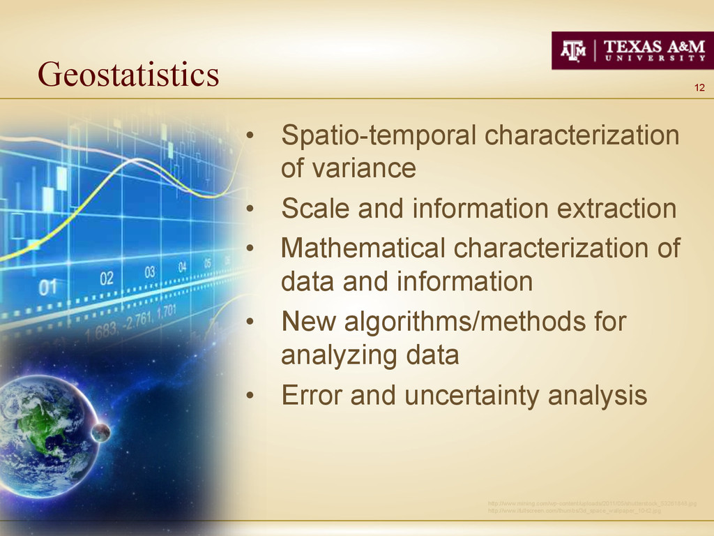
    information extraction •  Mathematical characterization of data and information •  New algorithms/methods for analyzing data •  Error and uncertainty analysis http://www.mining.com/wp-content/uploads/2011/05/shutterstock_53261848.jpg http://www.ifullscreen.com/thumbs/3d_space_wallpaper_10-t2.jpg
  9. 14 Geospatial Education http://photos-h.ak.fbcdn.net/hphotos-ak-prn2/t1.0-0/c38.0.885.589/s720x720/1459195_660831710627604_1627463960_n.jpg •  Enhanced learning •  Geospatial workshops

    •  Issues in STEM Education (TUETAR) •  Technical training •  Conceptual understanding (RS example) •  Reflective learning
  10. 17 CONCLUSIONS http://rocketdock.com/images/screenshots/magnifier.png •  Building collaborative partnerships •  Multidisciplinary collaboration

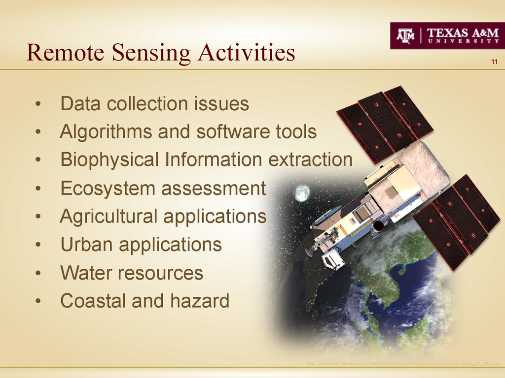
    •  Faulty/student interaction & mentoring •  Remote sensing program •  Government geospatial technology solutions •  Cost sharing •  Data and information production