database § SDO Geometry Object (Similar to Esri’s @SHAPE token) § Dimensions § SRID § Point Information or Line Information (Info Array and Ordinate Array) § SDO Geometry Object information used for Query Layers
allows direct connection through ArcMap § Can be useful for visualization, but slow to render and difficult to use due to cryptic database naming conventions § Read Permission to display, write permission to edit 8
table that is defined by a SQL query § Make Query Layer Data Management Tools.tbx > Layers and Table Views § Queries must be written in SQL style of database you are connecting to (i.e. Oracle, SQL Server, etc.) – Check Query in IDE § Uses information from Geometry object to create spatial layer 10
will be reflected in the in-memory Query Layer (like a spatial table view) § Save as .lyr file to preserve symbology and query § Custom column titles and attribute table schema § Access to much more SQL capability than ‘Select by Attributes’ 11
inserted into the Python script § Tkinter (part of the standard Python installation) § Easy to make simple GUI 12 Standalone custom export GUI with pre- packaged exports
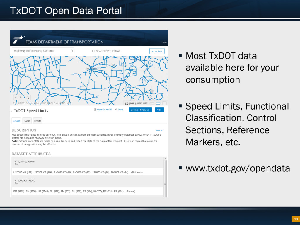
online services § Task Manger, Query Layers and ArcGIS Pro (interfaces well with AGO) allow regular updates from production database § Accurate, up-to-date data
information for projects throughout the entire state § Combines information from six TxDOT systems § Updates coming with even more data § Visit the TxDOT Project Tracker booth!
![QUESTIONS? John Phillips [email protected]](https://files.speakerdeck.com/presentations/161f05a3c8464919b98fd14b71f076c7/slide_20.jpg)