Upgrade to Pro — share decks privately, control downloads, hide ads and more …

Geographic Information Systems and Floodplain Management

Geographic Information Systems and Floodplain Management

Laura Haverlah, CFM

More Decks by Texas Natural Resources Information System

Other Decks in Technology

Transcript

  1. GIS & Friends: Creating Better Data Together ArcGIS: Esri’s geographic

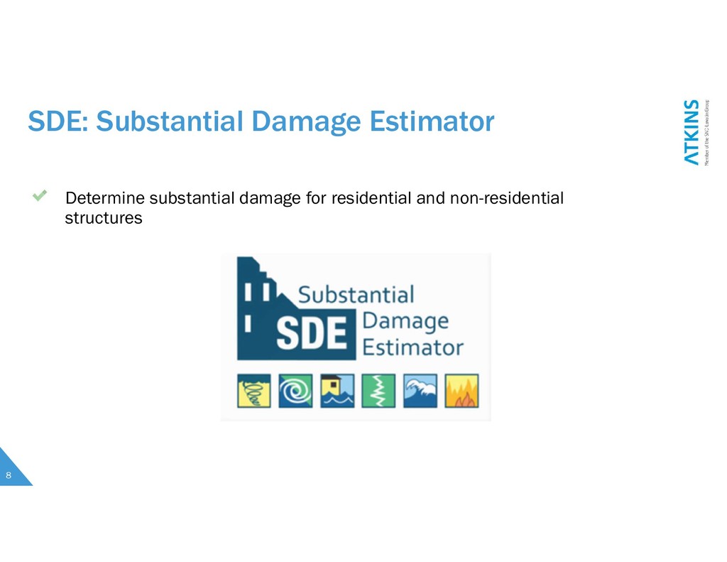
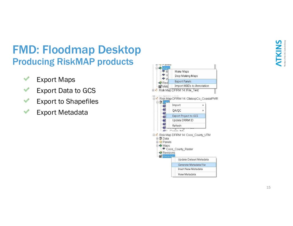
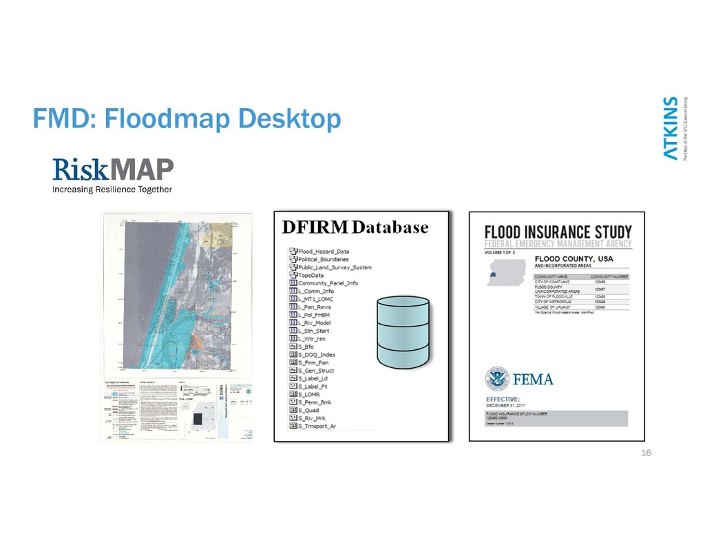
    information systems (GIS) software Hazus: FEMA software application for multi-hazard loss estimation SDE (Substantial Damage Estimator): A plug-in tool for damage estimation FMD: Floodmap Desktop (Atkins proprietary ArcGIS extension) 3
  2. “The beginning is the most important part of the work”

    -Plato Esri’s ArcGIS software provides the platform for GIS data development, processing, and production. 4
  3. Hazus: Multi-Hazard Loss Estimation Using the Hazus Flood Model 6

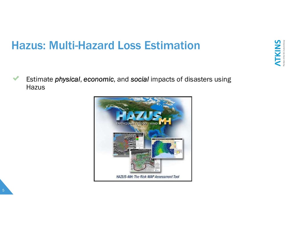
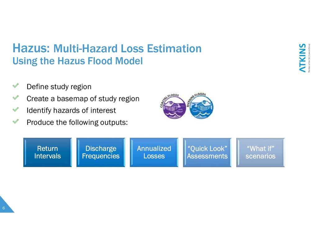
    Define study region Create a basemap of study region Identify hazards of interest Produce the following outputs: Return Intervals Discharge Frequencies Annualized Losses “Quick Look” Assessments “What if” scenarios
  4. FMD: Floodmap Desktop Setting up your project 13 Create the

    geodatabase Set the Project Settings Import any needed data Create the FIRM Panel index
  5. FMD: Floodmap Desktop Creating FIRM Panels Set up Data Driven

    pages QA/QC data Create Maps Create Annotation 14
  6. FMD: Floodmap Desktop Producing RiskMAP products Export Maps Export Data

    to GCS Export to Shapefiles Export Metadata 15
  7. 17 What can you do with GIS? Hazus: https://www.fema.gov FEMA’s

    SDE: https://www.fema.gov FMD: http://floodmapdesktop.com [email protected]