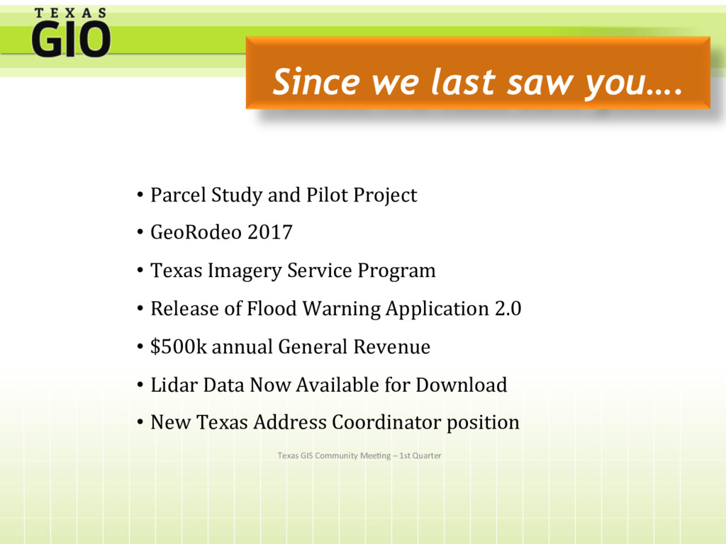
saw you…. • Parcel Study and Pilot Project • GeoRodeo 2017 • Texas Imagery Service Program • Release of Flood Warning Application 2.0 • $500k annual General Revenue • Lidar Data Now Available for Download • New Texas Address Coordinator position
Texas Projects were awarded grants from the USGS 3-D Eleva3on Program(3DEP) totaling almost $600, 000.00 Central and East Texas Projects were acquired by Fugro with third-party QAQC by AECOM Technical Services. Expected Delivery October 2017 and January 2018. Coastal Lidar Project was acquired by Sanborn with third-party QAQC by AECOM Technical Services. Expected delivery September 2017. Stratmap Partners • TCEQ • San Antonio River Authority • Trinity River Authority • Williamson County • City of San Marcos • City of Round Rock • U.S. Fish and Wildlife Services • USGS • Natural Resources ConservaSon Service • Trinity River Authority Texas GIS Community Mee3ng – 3rd Quarter
2017-2018 Winter acquisi3ons • TWDB funding currently planned for a winter coastal acquisi3on to replace por3ons of 2006 FEMA data. Partnerships are needed to ensure exis3ng 2006 data is completely replaced! • TCEQ West Texas Project in the works. Texas GIS Community Mee3ng – 3rd Quarter
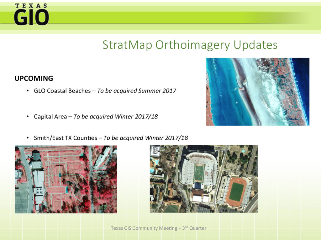
be acquired Summer 2017 • Capital Area – To be acquired Winter 2017/18 • Smith/East TX Coun3es – To be acquired Winter 2017/18 Texas GIS Community Mee3ng – 3rd Quarter
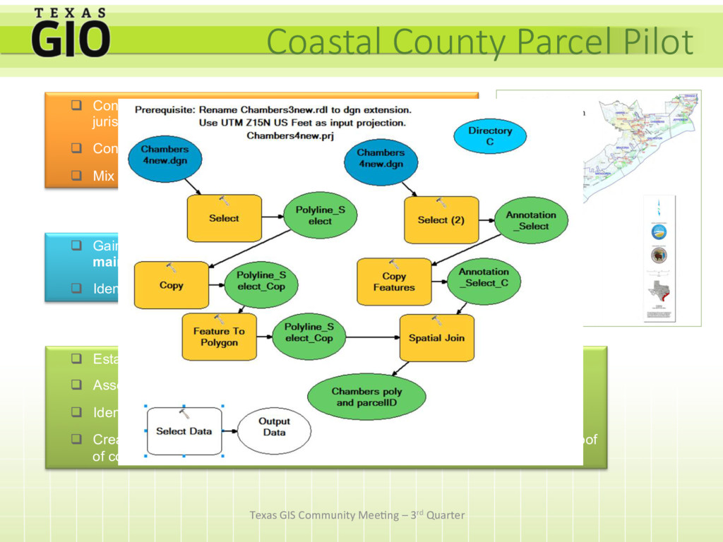
and state highways that traverse the jurisdictions q Contains a river or coast q Mix of urban and rural land use q Gain a better understanding of data integration and maintenance issues for adjacent counties q Identify the costs and benefits to the state q Establish data sharing agreements q Assess data quality q Identify standardization and matching issues along adjacent counties q Create a shareable data set of digital parcels, hosted on a state server as a proof of concept Coastal County Parcel Pilot