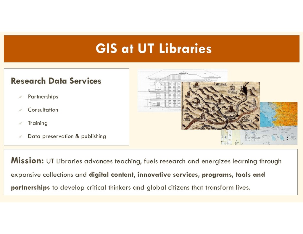
research and energizes learning through expansive collections and digital content, innovative services, programs, tools and partnerships to develop critical thinkers and global citizens that transform lives. Research Data Services Partnerships Consultation Training Data preservation & publishing
collections Exceptions: Vector services with custom symbology or configurations Easy to adjust and rerun, allows for quick iteration Helps document workflows Shared with team using GitHub
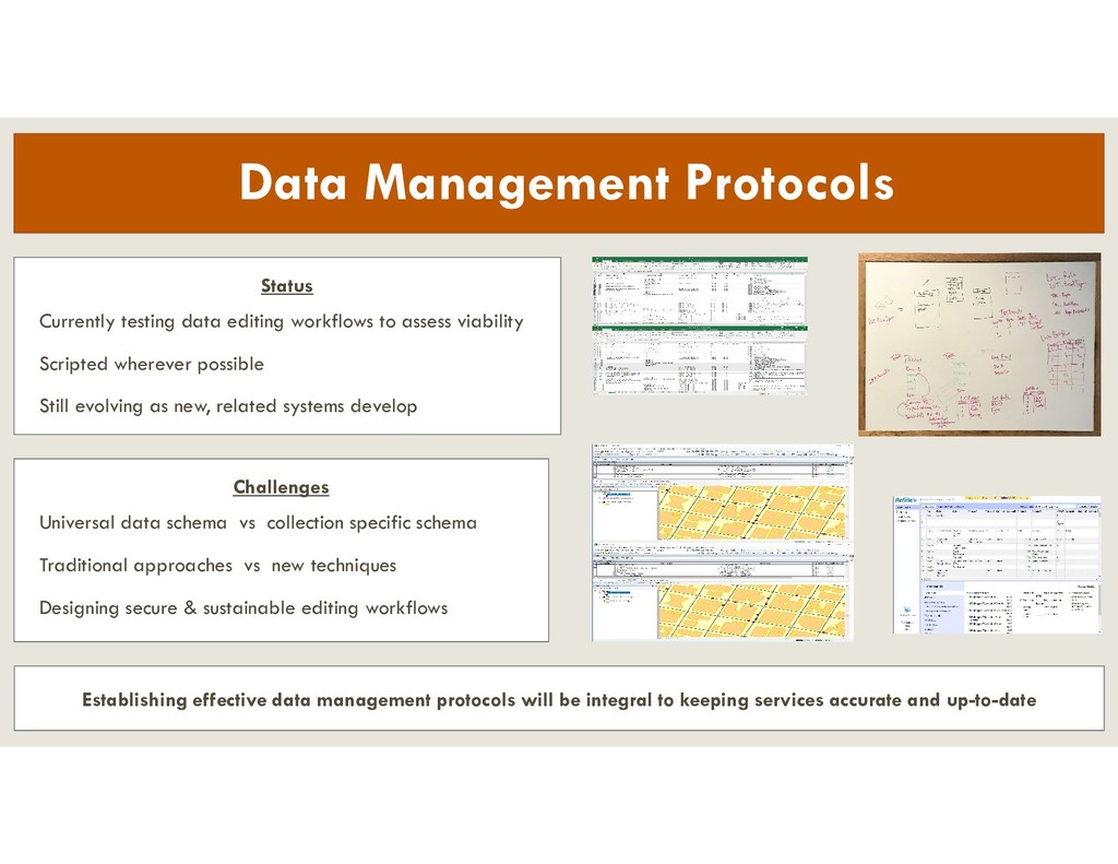
assess viability Scripted wherever possible Still evolving as new, related systems develop Challenges Universal data schema vs collection specific schema Traditional approaches vs new techniques Designing secure & sustainable editing workflows Establishing effective data management protocols will be integral to keeping services accurate and up-to-date
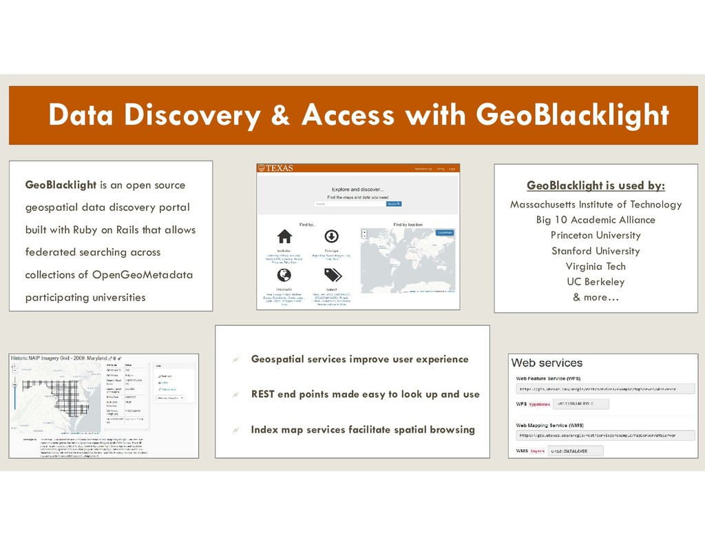
made easy to look up and use Index map services facilitate spatial browsing Data Discovery & Access with GeoBlacklight GeoBlacklight is an open source geospatial data discovery portal built with Ruby on Rails that allows federated searching across collections of OpenGeoMetadata participating universities GeoBlacklight is used by: Massachusetts Institute of Technology Big 10 Academic Alliance Princeton University Stanford University Virginia Tech UC Berkeley & more…
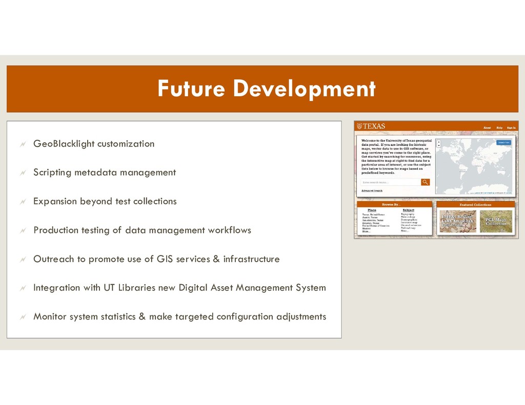
Expansion beyond test collections Production testing of data management workflows Outreach to promote use of GIS services & infrastructure Integration with UT Libraries new Digital Asset Management System Monitor system statistics & make targeted configuration adjustments