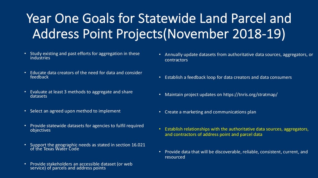
Projects(November 2018-19) • Study existing and past efforts for aggregation in these industries • Educate data creators of the need for data and consider feedback • Evaluate at least 3 methods to aggregate and share datasets • Select an agreed upon method to implement • Provide statewide datasets for agencies to fulfil required objectives • Support the geographic needs as stated in section 16.021 of the Texas Water Code • Provide stakeholders an accessible dataset (or web service) of parcels and address points • Annually update datasets from authoritative data sources, aggregators, or contractors • Establish a feedback loop for data creators and data consumers • Maintain project updates on https://tnris.org/stratmap/ • Create a marketing and communications plan • Establish relationships with the authoritative data sources, aggregators, and contractors of address point and parcel data • Provide data that will be discoverable, reliable, consistent, current, and resourced
defined unit of land with which a bundle of rights and interests are legally recognized in a community. A parcel encloses a contiguous area of land for which location and boundaries are known, described, and maintained, and for which there is a history of defined, legally recognized interests.” From Multipurpose Land Information Systems: The Guidebook (Epstein and Moyer, 1993, p. 13-2)
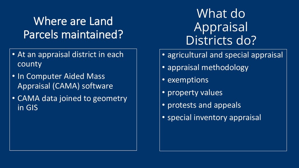
• appraisal methodology • exemptions • property values • protests and appeals • special inventory appraisal • At an appraisal district in each county • In Computer Aided Mass Appraisal (CAMA) software • CAMA data joined to geometry in GIS Where are Land Parcels maintained?
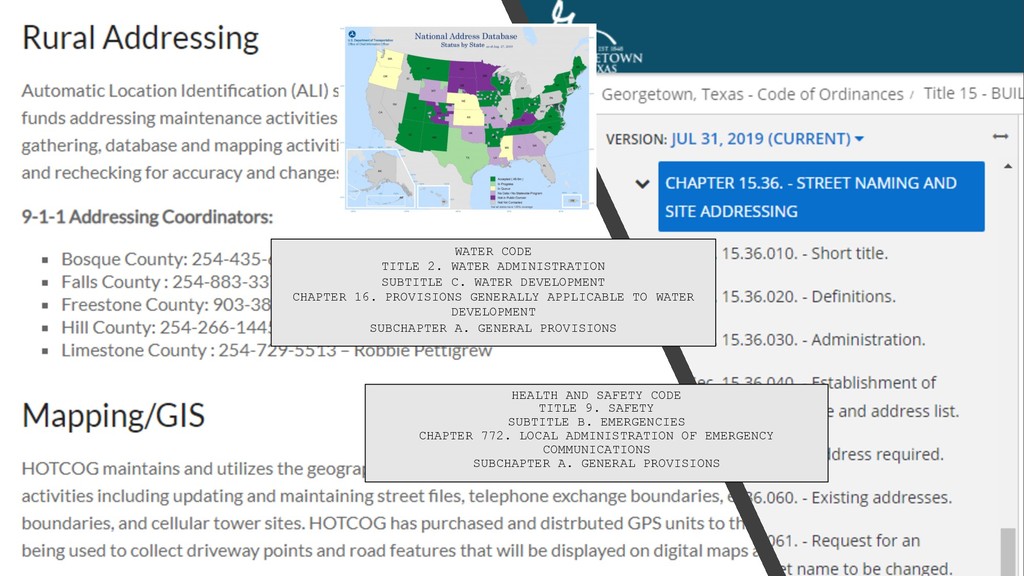
CHAPTER 16. PROVISIONS GENERALLY APPLICABLE TO WATER DEVELOPMENT SUBCHAPTER A. GENERAL PROVISIONS HEALTH AND SAFETY CODE TITLE 9. SAFETY SUBTITLE B. EMERGENCIES CHAPTER 772. LOCAL ADMINISTRATION OF EMERGENCY COMMUNICATIONS SUBCHAPTER A. GENERAL PROVISIONS
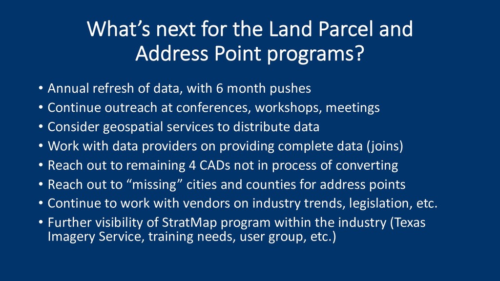
• Annual refresh of data, with 6 month pushes • Continue outreach at conferences, workshops, meetings • Consider geospatial services to distribute data • Work with data providers on providing complete data (joins) • Reach out to remaining 4 CADs not in process of converting • Reach out to “missing” cities and counties for address points • Continue to work with vendors on industry trends, legislation, etc. • Further visibility of StratMap program within the industry (Texas Imagery Service, training needs, user group, etc.)
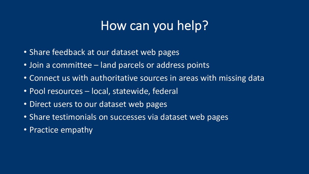
web pages • Join a committee – land parcels or address points • Connect us with authoritative sources in areas with missing data • Pool resources – local, statewide, federal • Direct users to our dataset web pages • Share testimonials on successes via dataset web pages • Practice empathy