Upgrade to Pro — share decks privately, control downloads, hide ads and more …

Complete Streets to Transit in Natomas, August 2010

Complete Streets to Transit in Natomas, August 2010

Given as a panelist at a Sacramento Regional Transit Green Line community meeting regarding safety and property values.

WALKSacramento

August 02, 2010
Tweet

More Decks by WALKSacramento

Other Decks in Education

Transcript

  1. Terry Preston, Complete Streets Coordinator
    WALKSacramento
    (and South Natomas resident since 2001)
    Complete Streets to Transit
    in Natomas

    View Slide

  2. Why I Love Natomas
     Places to Go
     People to See
     Things to Do
     Very Diverse
     Very Family
     Very Friendly

    View Slide

  3. Natomas is Walkable & Bikeable

    View Slide

  4. How I Came to WALKSacramento
     Helped lead Walk to 
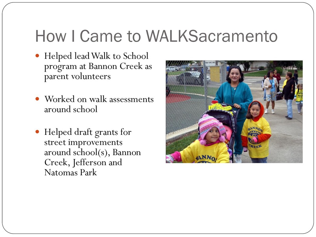
School
    program at Bannon Creek as
    parent volunteers
     Worked on walk assessments
    around school
     Helped draft grants for
    street improvements
    around school(s), Bannon
    Creek, Jefferson and
    Natomas Park
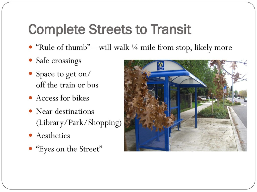
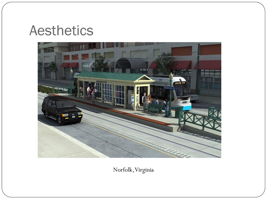
    View Slide

  5. Millcreek @ West El Camino (2006)
     Added traffic signals
    with countdowns
     Improved crosswalks
     Bike detector
     Bulb outs
     Allowed students from
    River Terrace to walk to
    school at Bannon Creek

    View Slide

  6. Complete Streets to Transit
     “Rule of thumb” – will walk ¼ mile from stop, likely more
     Safe crossings
     Space to get on/
    off the train or bus
     Access for bikes
     Near destinations
    (Library/Park/Shopping)
     Aesthetics
     “Eyes on the Street”

    View Slide

  7. Aesthetics
    Norfolk, Virginia

    View Slide

  8. Checklist – What to Look For
     Are there sidewalks or walk spaces near the stop?
     What obstructions are there?
     What roadway crossing treatments are near the bus stop?
    (crosswalks, pedestrian signals, pedestrian push-buttons,
    pedestrian signal timing, audible warning signals).
     How readable are signs in and around the stop?
     Is there shelter, with shade from the sun and with proper
    lighting?
     Is there easy access between the sidewalk and boarding area?
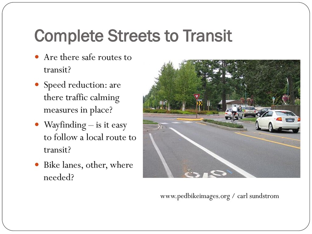
    View Slide

  9. Complete Streets to Transit
     Are there safe routes to
    transit?
     Speed reduction: are
    there traffic calming
    measures in place?
     Wayfinding – is it easy
    to follow a local route to
    transit?
     Bike lanes, other, where
    needed?
    www.pedbikeimages.org / carl sundstrom
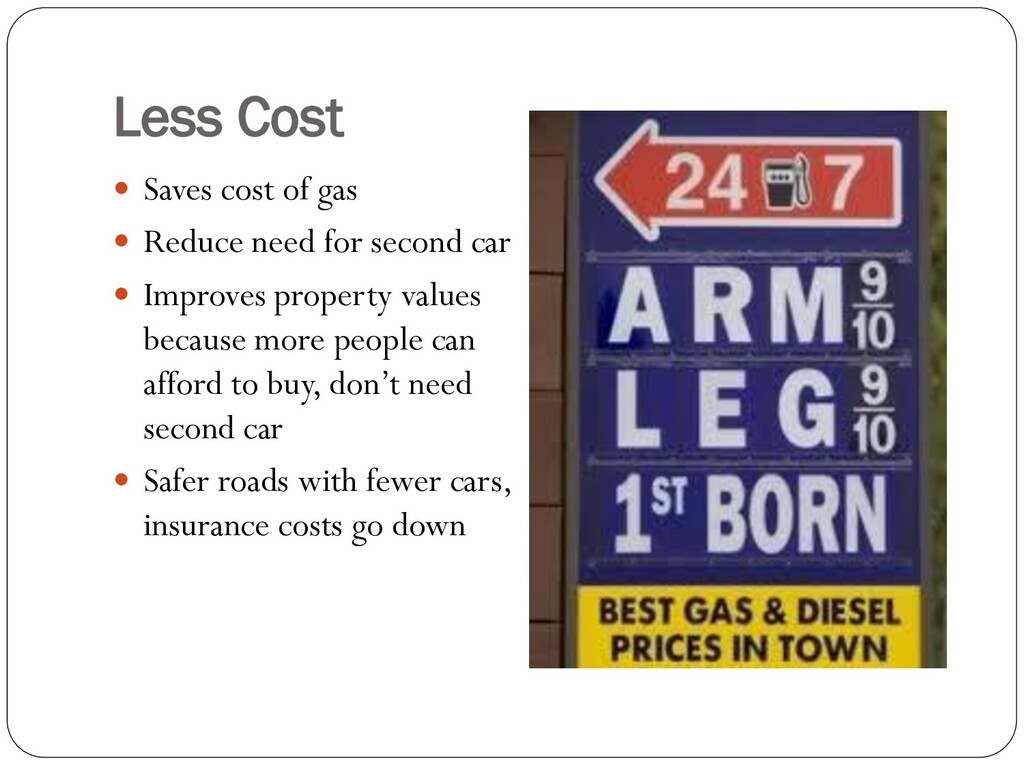
    View Slide

  10. Eyes on the Street
    • Safety in numbers
    • Crime is reduced
    by high foot traffic
    • More walking/
    biking to transit
    improves safety
    www.pedbikeimages.org / dan burden

    View Slide

  11. Less Cost
     Saves cost of gas
     Reduce need for second car
     Improves property values
    because more people can
    afford to buy, don’t need
    second car
     Safer roads with fewer cars,
    insurance costs go down

    View Slide

  12. For More Information
     Terry Preston, WALKSacramento
    Complete Streets Coordinator
    916-446-9255
    [email protected]
     Pedestrian Safety Guide for Transit Agencies
    http://safety.fhwa.dot.gov/ped_bike/ped_transit/ped_transguide/
    transit_guide.pdf

    View Slide